
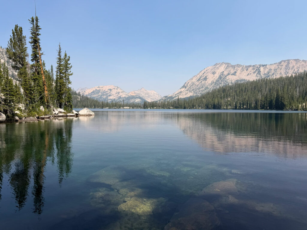
Alice Toxaway Loop and Ten Lake Basin
TRAIL STATS
Idaho’s Sawtooth Wilderness is a wonderland of glistening alpine lakes, majestic granite peaks, scenic passes, and healthy pine forests. This route takes in the popular Alice Toxaway Loop, but you’ll have a chance to get away from the crowds as you add in a lollipop loop into Ten Lake Basin. Wild huckleberries, wildflowers, wildlife, waterfalls, and a dip in the cool, clear waters of the many lakes along the way make this a perfect summer adventure in the Gem State.
Trail Description
When I planned this backpacking trip into the Sawtooth Wilderness, I really had no idea that I’d be embarking on a top-tier adventure that rivals the best outdoor experiences I’ve had anywhere. There’s really no way to prepare yourself for the kind of nonstop beauty you’ll see along this route, which is my way of saying this trip is absolutely worth it.
There are multiple trailheads and trail options within the Sawtooth Wilderness, since it covers over 200,000 square miles. We only had three nights to spend, so we chose this trip because it seemed to pack a lot of interesting features into a distance that would be manageable for us. We were right. There wasn’t a mile of this trip that wasn’t absolutely stunning, and we have hundreds of photos to prove it. My friend, Kristin, even ran out of storage on her phone because she couldn’t stop trying to capture the rugged beauty. It was amazing!
Tin Cup Trailhead
Although the road to the trailhead is dirt, it was a fairly smooth ride that could be accomplished in a passenger vehicle. That was a good thing since we had a rental car and didn’t want to chance it on any rough roads.
Day Use Fee Once at the trailhead, the confusion began. A sign listed the day use fee as $10, so we picked up an envelope to pay our fee. The envelope had the camping information blacked out, but still had number of nights paid. Number of nights for a day use area? It was a little confusing, so we asked around for what others were doing. No one seemed entirely sure, so we asked the nearby campground host, and she told us we need to pay $10 for each night our car will be there. Don’t forget to bring cash!
Pettit Creek Trail
Starting off from the trailhead, you’ll soon be on the Pettit Creek Trail. After only 2/10 of a mile, you’ll come to the junction that starts the Alice Toxaway Loop.
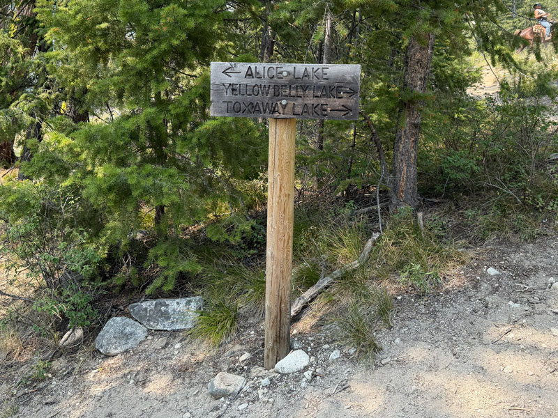
You can complete this loop in either direction, but we chose to do it counter-clockwise because it fit best with our overall plan. The rest of this guide will describe the loop in a counter-clockwise direction.
Pettit Lake Cutoff
To hike the loop counter-clockwise, fork right at the junction toward Toxaway Lake. The trail goes uphill right away, and this will be the first of many uphill pushes to come, so don’t be tempted to think you’re getting the elevation out of the way at the start. This is just the beginning!
Yellowbelly Trail
After one mile uphill and one mile downhill, you’ll arrive at the junction with Yellowbelly Trail where you’ll turn left toward Toxaway Lake. Now begins the slow and steady hike up to the lakes ahead. It seems this is quite the popular trail in the summer, so we had plenty of company along the way. The trail is in really great condition, but you will have to cross the creek, sometimes by balancing on logs.
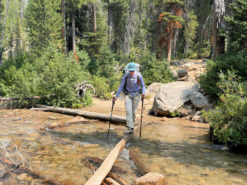
This won’t be your only log crossing, so definitely bring hiking poles! Some people in the group in front of us didn’t have poles, and they chose to take off their shoes instead, which is why we just sailed right on past them.
Farley Lake
Not quite three miles after you start on the Yellowbelly Trail, you’ll see Farley Lake off to the left. This is your first taste of the magnificence of the wilderness lakes you will encounter on this trip. There is so much more to come!
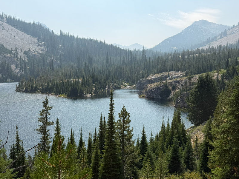
Campsites It was obvious that there are places to camp at this lake, although we didn’t seek them out. We discovered several campsites available at each major lake, so I didn’t feel it necessary to mark them all on the map. I did mark the campsites we used, plus the two phenomenal campsites where we rested at Edna Lake. You shouldn’t have trouble finding a spot, even on a busy day.
Ten Lake Basin Loop (optional)
Before you get to Toxaway Lake, you’ll have the choice to add the lollipop loop to Ten Lake Basin. If you don’t want to add the lollipop loop, you can continue on to Toxaway Lake (and skip to that section in this guide).
Edith Lake Trail
However, if you are planning on adding the lollipop loop to Ten Lake Basin (which we highly recommend!), you’ll need to keep a look out for Edith lake Trail, which branches off to the right after 4.3 miles on the Yellowbelly Trail.
There is a sign at the junction, but it’s attached to a tree that’s off the trail to the right and easy to miss (don’t ask how we know). The topographical map on my Garmin did not show it in the correct spot, so hopefully you can download our map at the end of this post.
Edith Lake
It’s a little under a mile uphill toward Edith Lake from there. Look at this beauty!
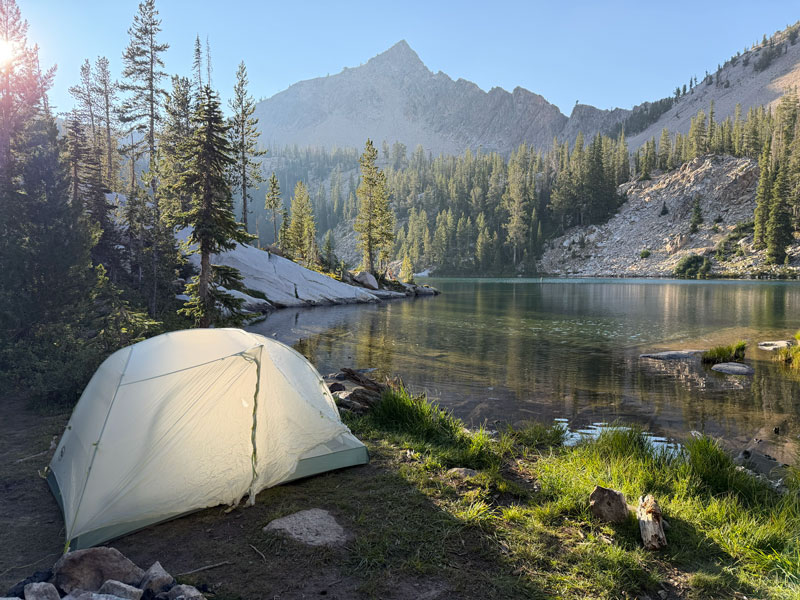
Campsites This was where we planned to make our first night’s camp. There does not appear to be any regulation against camping on the shore of the lake, as there were many established sites close to the water throughout the Sawtooth Wilderness. However, we did encounter a few “No camping behind this sign” markers, so be sure to look for those.
This was the only campsite we found on the water at Edith Lake, but there were some farther back in case this one is taken. This spot was a little marshy, so we had some mosquitos, but they weren’t too bad at this time in the first week of August.
Don’t bother risking your life to climb over the big rock fin next to this campsite (which I called “The Great Wall of China”) to see if you can find another campsite on the other side. There are none, and getting back down off of that rock is sketchy!
Alice Lake Redfish Lake Trail
From Edith Lake, you’ll continue uphill around the lake to the junction with the Alice Lake Redfish Lake Trail. By the way, I had no idea what this trail’s name was until I came home and looked at the map. The signs generally don’t give the names of the trails, just the names of the lakes or rivers they lead to, so you just need to know where you’re headed.
Imogene Lake Pass (Optional)
Turning right at the junction leads you up over a pass to Imogene Lake. We didn’t plan to go to Imogene Lake, but we were kind of curious about the view, so we decided to drop our big packs and head up to the pass. It was only about 400 feet of elevation gain, and it felt like a breeze without our heavy packs. The views from the pass were awesome, so we thought it was worth it. But no hella way we were hiking down all those switchbacks just to come back up.
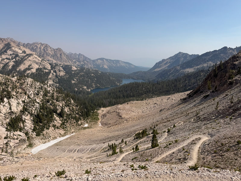
Back at the bottom, we grabbed our packs and continued on the trail toward Alice Lake.
Sand Mountain Pass
For the next mile, it’s all uphill again to another pass overlooking Ten Lakes Basin. Here, there is an obvious spur trail that leads to the top of Sand Mountain, but we didn’t go up. If you do go up, leave us a comment to let us know how it was!
From there, it’s a couple switchbacks down to Sand Mountain Pass, where you’ll get a great view of Rendezvous Lake and Edna Lake.
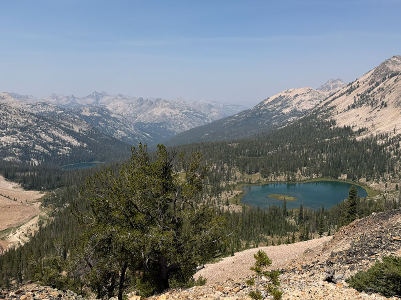
South Fork Payette River Trail
At the pass, turn right at the junction with the South Fork Payette River Trail to head down toward Edna Lake. You’ll also see a trail that forks left down to Toxaway Lake, and you’ll be back to take that trail later.
Somebody did a bang-up job with the switchbacks in the Sawtooths. Yes, there are a lot of them, and yes, they can be long, but they are gradual and easy on the knees. Plus, you’ll really appreciate the mild grade when you’re on your way back up.
Rendezvous Lake The sad news here is that the trail does not lead to Rendezvous Lake, that lake with the captivating blue-green hue that you saw from the pass. We looked for a spur trail over to it, but we didn’t see one.
Not to worry, your next stop is one of the best lakes of the trip.
Edna Lake
As you get closer to Edna Lake, you’ll arrive at a junction that marks the end of the lollipop stick and the start of the lollipop. As such, you can complete this loop in either direction, but we chose to go counter-clockwise again, so we turned right toward the South Fork Payette River.
Campsite A couple switchbacks later, we found ourselves near the lake at one of the best campsites we would see on this entire trip. It was big, had plenty of shade, and a grass balcony where we could sit and eat lunch.
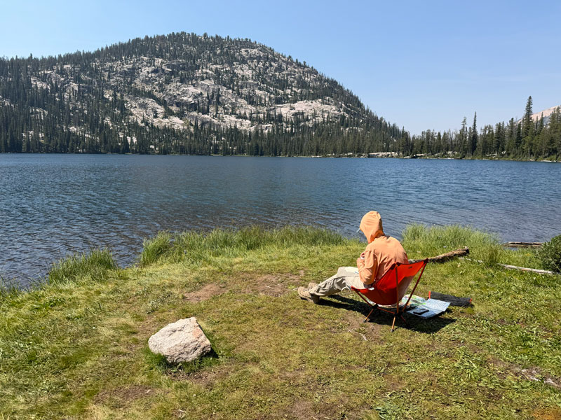
Little did we know this lake would later be judged as one of our overall favorites. Each lake along the route had been unique and beautiful in its own way, and every time we thought we had seen the most beautiful lake of the Sawtooths, another gem would surprise us. That’s the magic of this place. It’s stunning beyond what you can even imagine as you read this and look at the photographs.
Virginia Lake
As we continued around the lake, we soon came to another stunner: Virginia Lake.
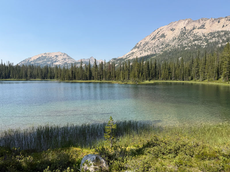
Campsites We didn’t really see any obvious campsites here near the shore, but the magnificent greenery surrounding this lake was the best kind of eye candy.
From this point, the trail follows along the South Fork of the Payette River, passing small ponds and cascades, and crossing the river a couple times. Surprisingly, there was always a way to get across every water crossing on the entire trip without getting our feet wet.
As you follow along the river’s path, you are going downhill to one of the lowest points along this route. You know what that means, right? You’re going to have to go back up soon. But, I have a nice surprise for you coming up.
A Note About the Map The location of the trail on the topographical map on my Garmin differed quite a bit from the actual trail in this area. Thankfully, the trail is well defined and easy to follow, so just pay attention and download the map provided at the end of this post to keep you on track.
Ten Lake Basin Trail
Around two miles after you pass Virginia Lake, look for the trail that branches off to the left toward Ardeth Lake. This is Ten Lake Basin Trail, and it’s where you’ll start heading uphill (again).
Wild Huckleberries! Around a third of a mile after you start hiking up, the trail passes through a big patch of wild huckleberries! These berries ripen in July and August in the Sawtooths and make a welcome treat for summer hikers. If you’re there a different time of year, I’m so sorry. Next time, plan your trip better. Just kidding. Sort of. The berry patch is labeled on my map.
Ardeth Lake
Continue uphill, gaining around 600 feet of elevation in just over a mile, to arrive at Ardeth Lake.
Campsites There is a large campsite to the right of where the trail first reaches the lake, which had a nice access point for the lake that we called the “boat ramp.” But there was also dirty underwear there, so we scouted around the lake for a better spot. I mean, come on, that’s gross.
Going clockwise, we found a couple okay spots, but nothing amazing. Counter-clockwise we found a nice one close to the lake and then a lot of big ones over in the flats where water was flowing into the lake. In the end, we chose a perfect little perch with a great view of the lake to the left of where the trail arrived at the lake. I marked our camp on the map.
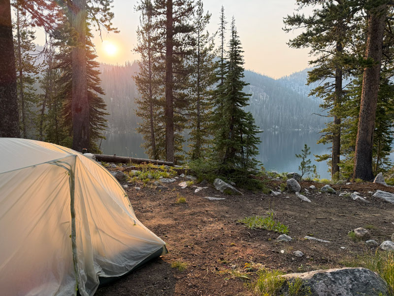
Solitude We couldn’t help but think back to that most perfect campsite at Edna Lake, but c’est la vie. It was beautiful and peaceful at Ardeth Lake. We noticed that not many people seemed to make it this far into the backcountry compared to how many we had seen earlier on the main loop, so we had huge doses of solitude here.
As you continue on the loop, the trail follows the edge of Ardeth Lake for a while before turning uphill (yet again!). This part of the trail is the steepest and most rugged we encountered. I forgot to start my GPS recording again, so it didn’t even count! Just kidding, but I did have to fill in the blank on my final map, so this section might not be 100% accurate, but the trail is obvious.
More Ups and Downs
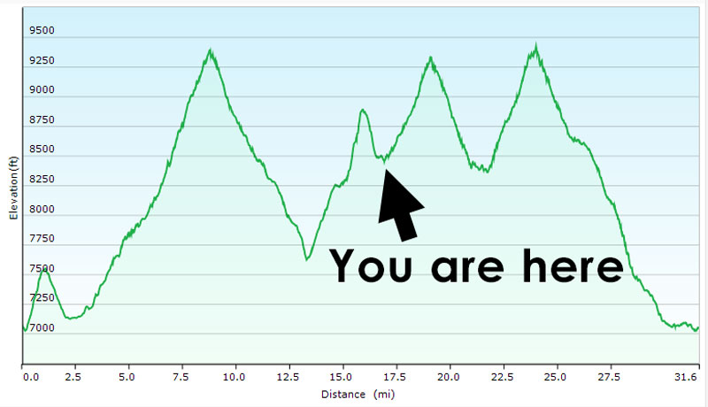
After just over a mile of steady uphill climbing, you’ll go over a pass and start descending down to Vernon Lake. You know darn well you still have to get up and over the pass that leads to Toxaway Lake, so it’s not much of a comfort. That’s how most of this adventure goes—you hike down only to have to hike back up again. Truthfully, the elevation profile for this hike looks a lot like sawtooths. Go figure!
Vernon Lake
Just before you get back to Edna Lake, you’ll encounter Vernon Lake.
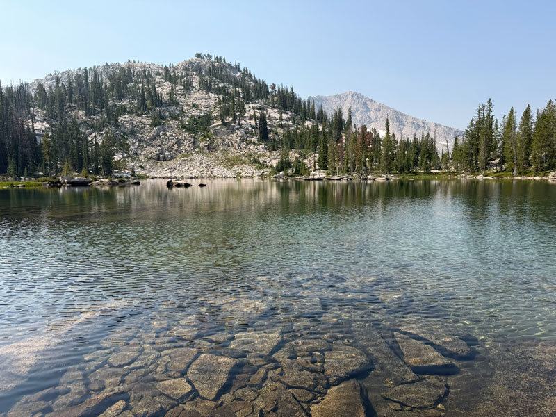
Campsites We met some nice fellas here who said they were camped a little farther back from the lake, and we didn’t see any obvious campsites along the shore, so that’s probably the best place to look.
Edna Lake (again)
Back at Edna Lake, we found another phenomenal campsite with the best view of the trip (hint: it’s the cover photo for this post). If we were to do this route again, we would definitely consider making camp at Edna Lake for two nights and doing the Ten Basin Lakes Loop as a day hike in between.
From Edna, we forked right onto the trail that would take us back up to Sand Mountain Pass toward Toxaway Lake. We knew this climb was coming, and truthfully, the ascent went by quickly.
Sand Mountain Pass (again)
Finding ourselves back on Sand Mountain Pass, this time we headed right on the Alice Lake Redfish Lake Trail toward Toxaway Lake.
What didn’t go by quickly was the descent to Toxaway Lake. There are SO MANY switchbacks on the way down that it feels like the lake isn’t getting any closer, and you’re looking at the same scenery forever. It was so repetitive that Kristin even stopped taking pictures, and that’s really saying something! I’m sure the uphill hikers appreciated the mild grade, but I feel like there were a few too many switchbacks.
Toxaway Lake
If you just keep zigging and zagging for what seems like eternity, you will eventually end up at the junction with the Yellowbelly Trail where you’ll see Toxaway Lake straight ahead. Unfortunately, there isn’t a great way to get down to the lake right there, so we hung a right to continue on the trail until we found an obvious footpath that led down to the water.
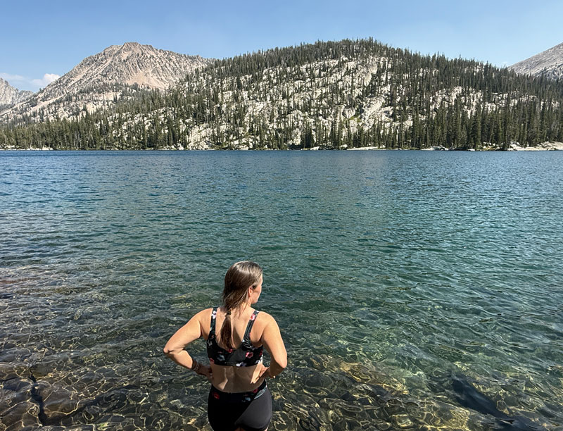
It was hot, and we had done a lot of uphill hiking that day, so it was time for a celebratory swim. Man, that water was so refreshing! Little did we know we were celebrating too early because there was still one more big pass separating us from our camp at Alice Lake. Ignorance is bliss until that elevation comes a-knockin’.
Back on the trail toward Alice Lake, it was flat for a while as we rounded Toxaway Lake, but soon we saw what we didn’t expect or want to see—another uphill climb! This time it almost broke my spirit because I was feeling kind of fresh after that swim, and I was ready to be done with the sweaty uphill sections. Dang it!
The good news is this pass is incredibly beautiful with smaller lakes and patches of wildflowers dotting the way. How can you be sad when this is your view?
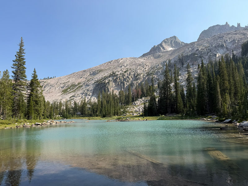
There are so many lakes out there, this one doesn’t even seem to have a name. Considering the names of the other lakes in the area, Kristin and I affectionately named the lakes here after our great grandmothers, Ada and Irene.
Twin Lakes
After finally going over the last pass, you’ll see Twin Lakes down in the valley below. You can let out a celebratory whoop because you just finished the last of the major uphill sections!
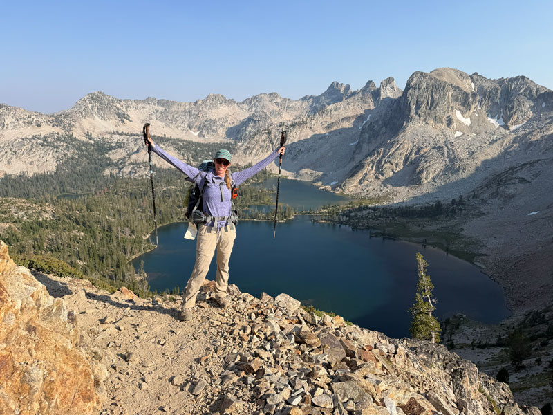
There is a trail over to Twin Lakes when you get closer to the bottom, but we made a beeline toward Alice Lake for dinner and camp.
Alice Lake
Even just writing this post after the fact, thinking about Alice Lake makes me want to sing. We were pretty exhausted after completing more than 10 miles and multiple uphill sections that day, and we were more than ready to relax.
Because Alice Lake is only six miles from the trailhead, it’s very popular with backpackers. We were there on a Friday night, and we rolled in past 7:30pm, so most of the good spots were already taken. However, tucked between a young couple and a group of kids in the distance, we found a pretty little spot with one of the best views of the trip.
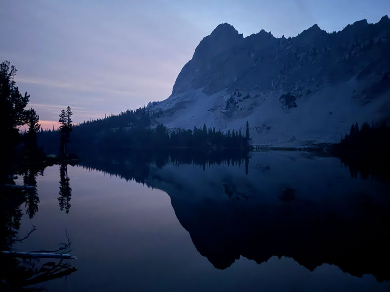
That’s the majestic El Capitan standing guard over Alice Lake.
Campsites We chose to camp on a popular peninsula that has plentiful campsites, but there are other campsites both before and after this peninsula. There might also be a lot of tents, but you should be able to find something.
We had a flight to catch the next day, so we woke up stupid early to pack up and hike out, but that gave us a unique opportunity to see this beautiful area in the early morning light.
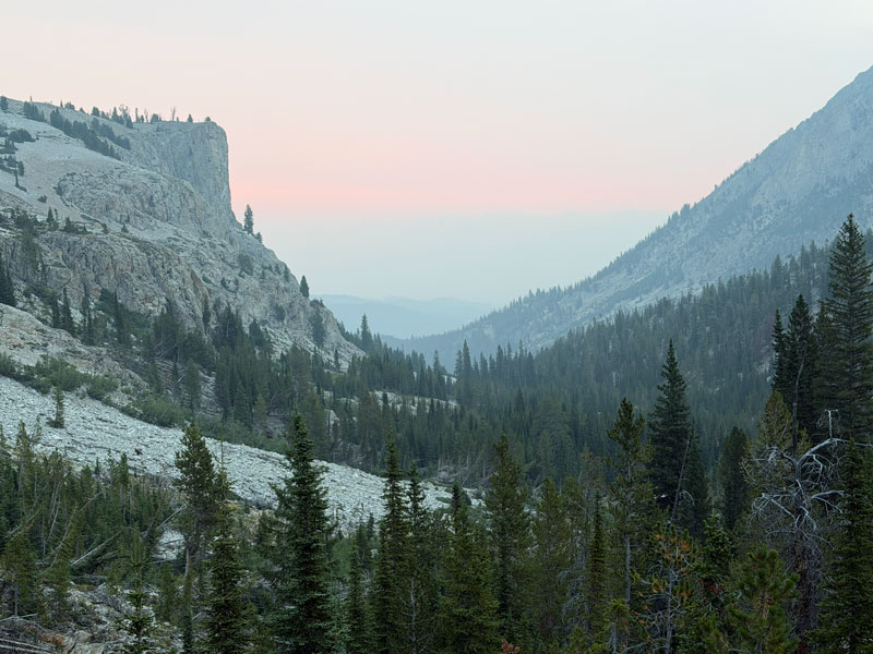
I’m happy to report that the hike from Alice Lake to the trailhead is ALL DOWNHILL! There are some rocky spots and a few creek crossings, but the last few miles of the trail are mostly wide and flat back to the parking lot.
Map & Directions
Location Sawtooth Wilderness, Stanley, Idaho
From Stanley, head south on Highway 75 to Pettit Lake Road and turn right. Follow this road to the Tin Cup Trailhead.
Google Maps Tin Cup Trailhead
Fees/Passes There is a nightly fee to park at the trailhead, which is payable by cash or check. The instructions on the envelope aren’t very clear, but we asked the camp host who handles the payments, and she confirmed you must pay the day use fee ($10 when we went) multiplied by the number of nights you will be parked there.
In addition, you will need a free, self-issued permit to backpack into the wilderness. These are available along the trail as you enter the wilderness area.
Trailhead Facilities Vault toilets
Recommendations for you
The Enchantments | Washington
Teton Crest | Wyoming
Humphreys Weatherford Kachina Loop | Arizona
Leave a Reply