Boulder Canyon
TRAIL STATS
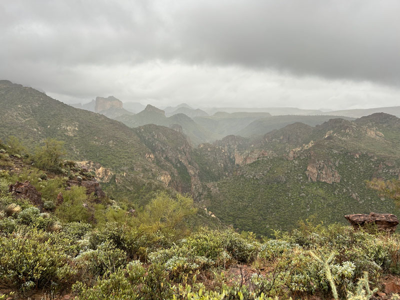
One of the most scenic trails in the Superstition Mountains, Boulder Canyon Trail travels high along a ridgeline that parallels Boulder Creek. You’ll enjoy fantastic views of Canyon Lake, Battleship Mountain, and Weavers Needle as you gaze deeper into the Superstition Wilderness. There are multiple viewpoints and high points that make great destinations if you don’t want to hike the entire length. Visiting on a cloudy day is especially magical.
Trail Description
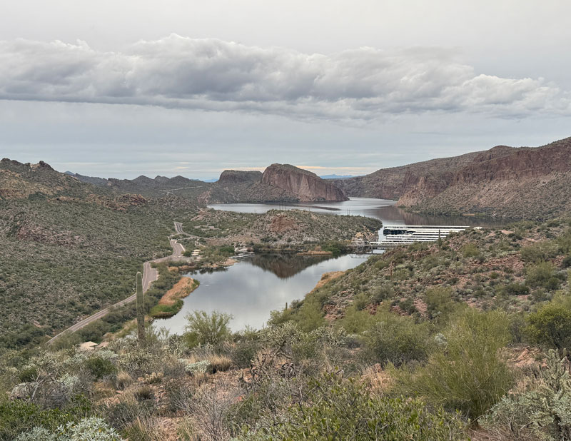
Boulder Canyon Trail begins at the Canyon Lake Marina where there are 10 free parking spaces that are designated for hikers. This trail provides access to the Superstition Wilderness from the northwest side and is a more scenic alternative to the First Water Trailhead for those heading deep into the wilderness. These views do come at a cost, though, since the Boulder Canyon Trail travels up and down over a ridgeline along the way.
Boulder Canyon Trail
To get to the trail, you’ll have to cross State Route 88. At just a tenth of a mile in, the trail splits. Both of these trails will eventually join back together, but the one to the right takes the more scenic route past viewpoint #1 while the left fork goes more directly over the mountain. Our strategy was to enjoy the scenic route on the way in and make a beeline for the trailhead on the way back. Both routes are shown on the map below.
No matter which way you go, the trail starts up its first big incline almost immediately. That means you won’t have to go far to start seeing the lake from higher vantage point.
Viewpoint #1
If you’re on the longer, scenic route, you’ll arrive at the first viewpoint at about three-quarters of a mile. Leave the main trail on the obvious path out to the viewpoint, and see Battleship Mountain and Weavers Needle in the distance.
If your hiking group is already griping, you could make it the last viewpoint, too. Or you could just send them back to the car while you finish this fantastic hike.
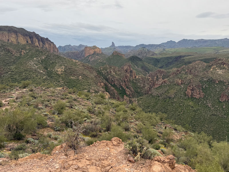
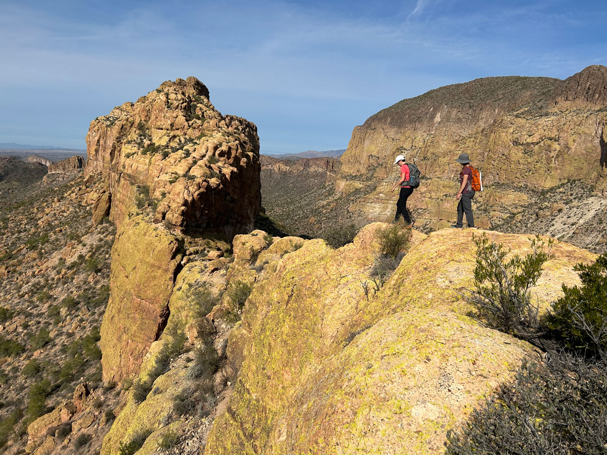
High Point
Continuing on the main trail, the two trails will eventually rejoin into one. By now you’ve figured out that this trail has a lot of false summits. When it appears you are about to get to the highest point, you aren’t. Somehow, some way, another higher point magically appears to crush your spirit. But it’s okay because when you stop to look at the view when you finally do hit the high point, all the pain will melt away. Well, at least most of it.
This view into the Superstition Wilderness never gets old.
At this point, you’re about a mile in if you took the shorter route or 1.3 miles in if you took the scenic route. This makes another good turn around point, although you know I can’t recommend doing that.
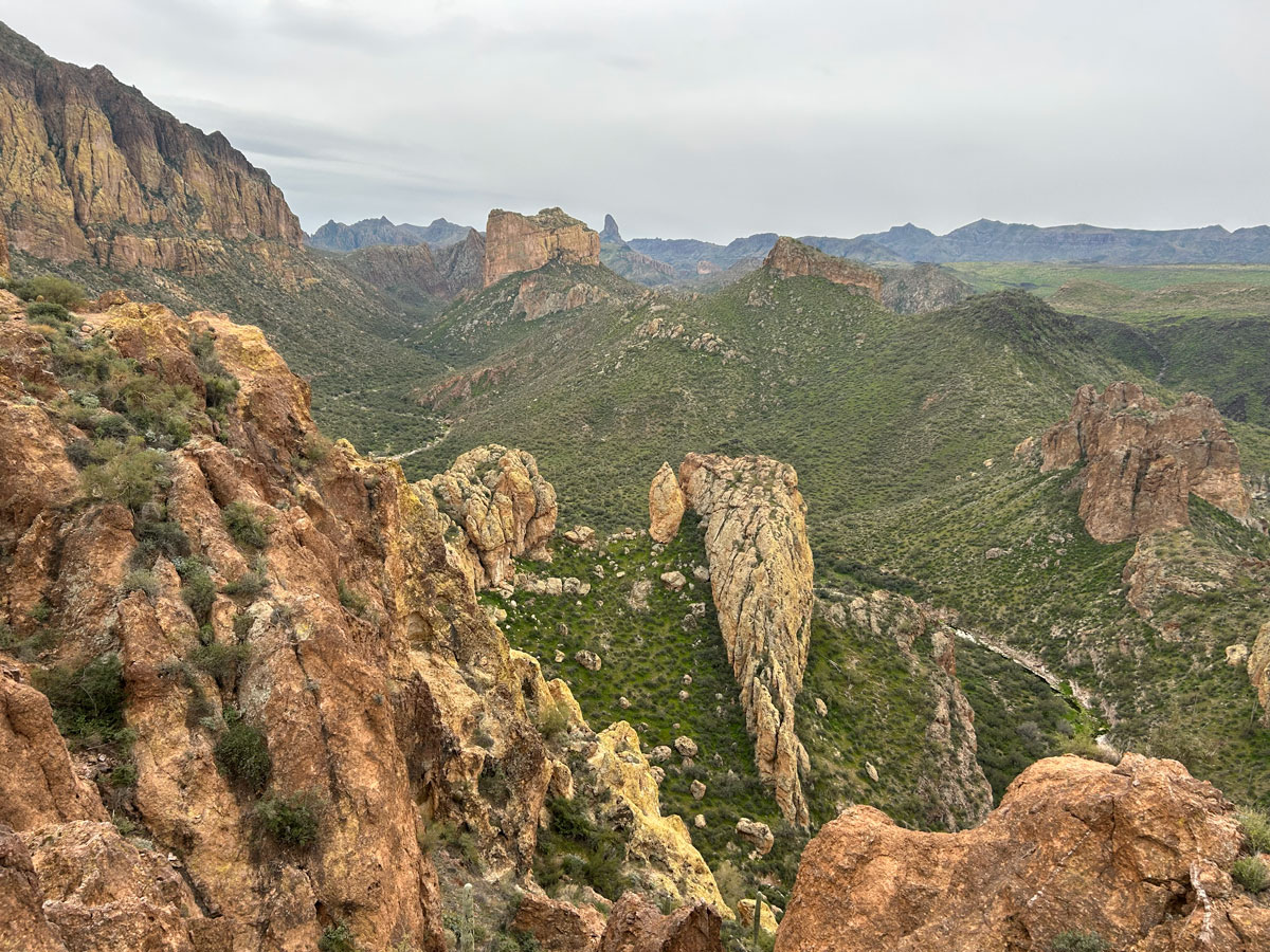
Viewpoint #2
Over the next mile, the trail will have more ups and downs and less of a steady incline. As the trail winds around both sides of the ridgeline, you’ll have views in every direction. But the most important view comes at the second viewpoint. It is one of my favorite views anywhere in the Superstition Mountains.
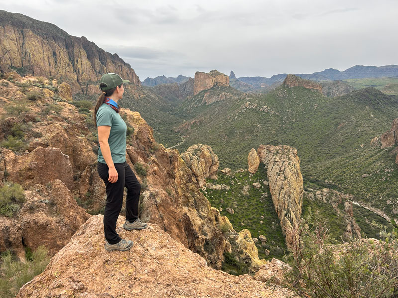
Well, yeah, it’s similar to the previous viewpoint but way closer. Malapais Mountain to the left, Battleship Mountain in the middle, Weavers Needle poking up behind it, plus views down into Boulder Canyon. It’s nothing short of glorious.
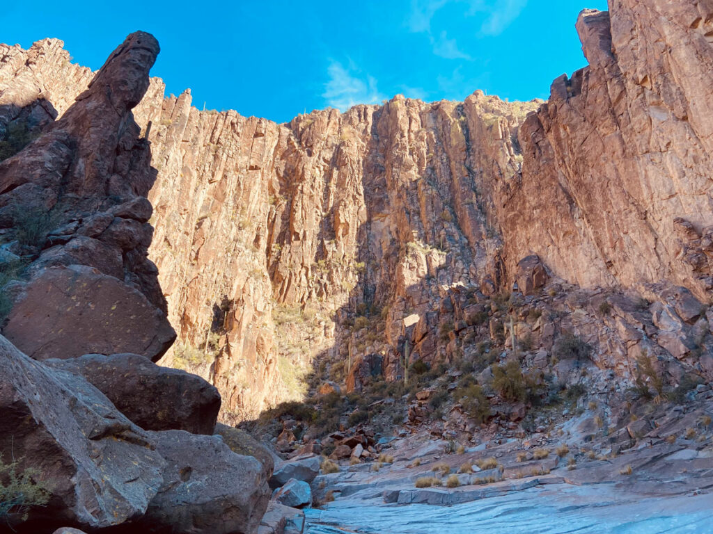
This is the end of the route I have mapped for you, but it’s only the beginning of the possibilities. From here, the trail continues down to La Barge Creek where you can connect with more adventures like Battleship Mountain and La Barge Box Canyon or even deeper into the wilderness. You’ve seen how beautiful it is—I have no doubt you’ll be back!
Map & Directions
Location Superstition Wilderness, Canyon Lake, Arizona
From US60, go north on Idaho Road to Highway 88. Turn right and continue to Canyon Lake Marina. Turn left into the marina. Ten designated parking spots for hikers are available at the south end of the lot close to the road.
Fees/Passes None
Trailhead Facilities Restrooms and water may be available at the Canyon Lake Marina when it’s open.
Recommendations for you
Battleship Mountain |Superstition Mountains
La Barge Box Canyon | Superstition Wilderness
Peters Canyon | Superstition Mountains
Leave a Reply