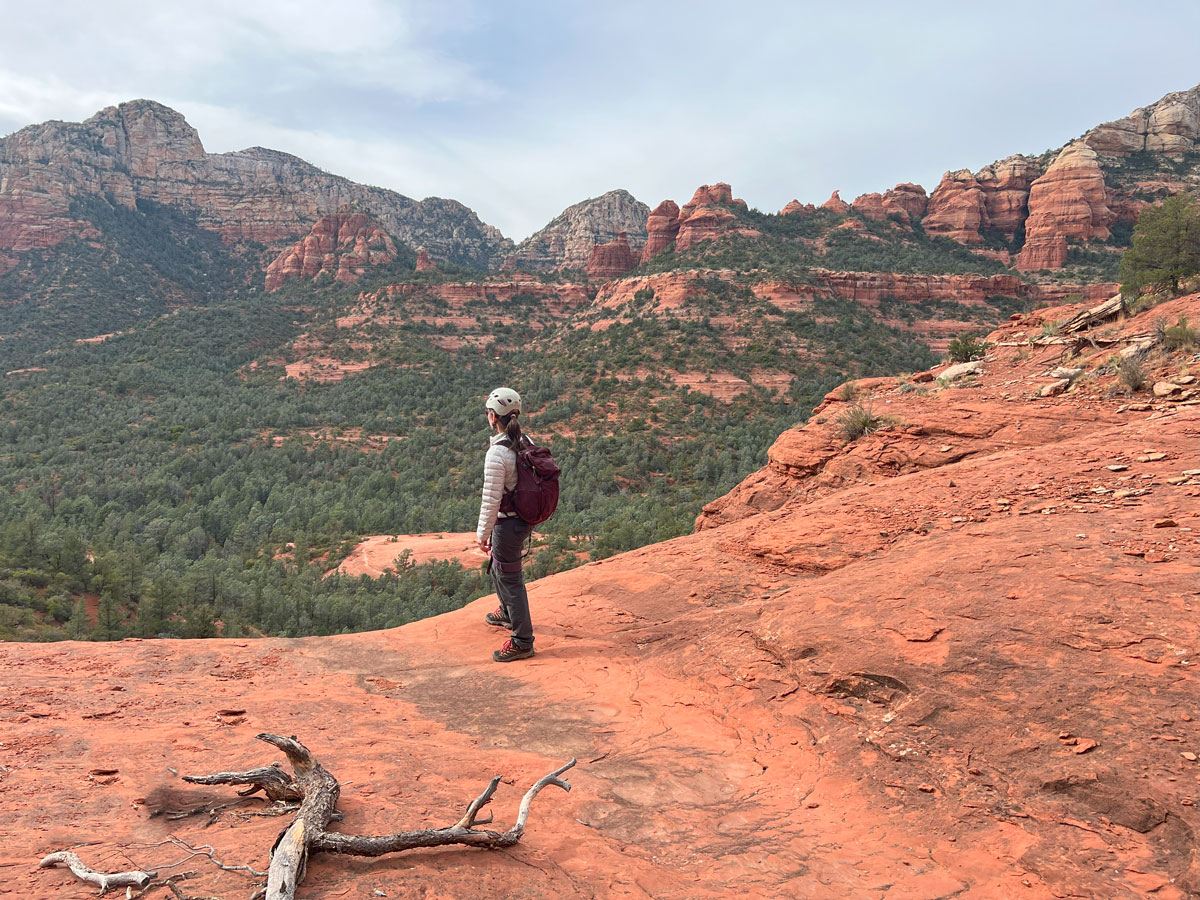
New Day Canyon
TRAIL STATS
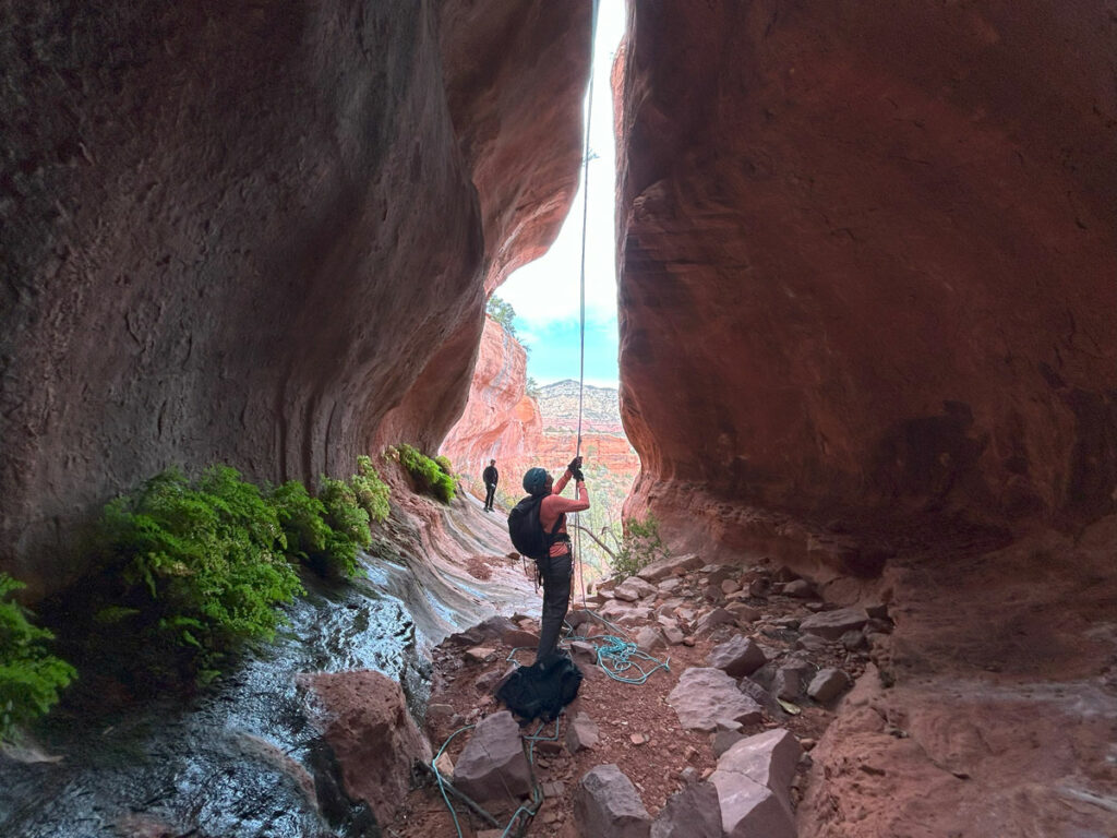
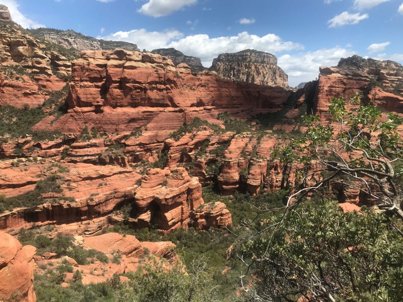
New Day Canyon is a short canyoneering route with four rappels that have low difficulty but high payoff with incredible views. On the way to the rappels, you can visit the popular Sedona highlights of Devil’s Kitchen, Seven Sacred Pools, and Soldier Pass Cave (also known as Soldier Pass Arches).
🪢 This is a technical canyon with four rappels up to 90 feet. You will need one 200-foot rope, or one 100-foot rope and a pull cord, plus all the required safety equipment for rappelling and knowledge how to use it. This guide is not intended to provide instruction on how to descend a technical canyon safely.
Trail Description
The first part of the approach for this canyon follows the exact same route you would use to get to Soldier Pass Cave, as described below from my previous post on Soldier Pass Cave.
Soldier Pass Trail No. 66
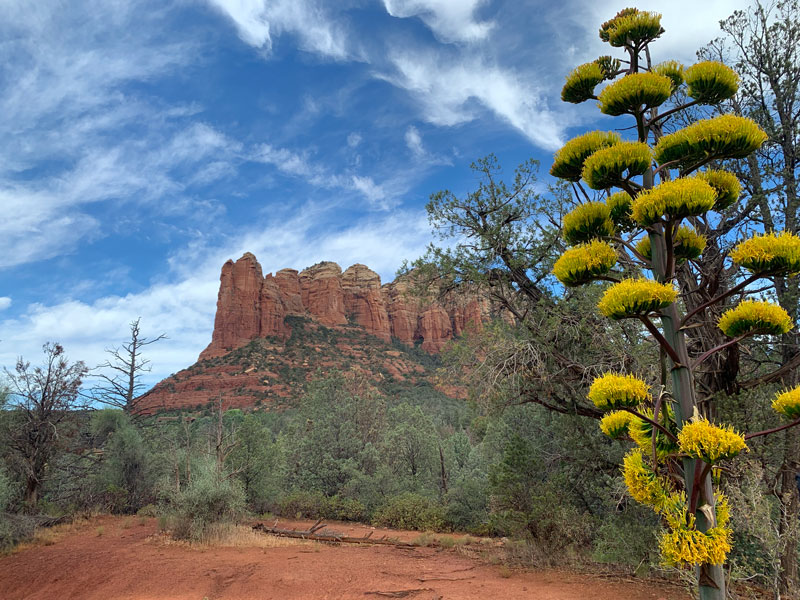
There are two trails marked on the map, but the one on the left is actually a forest service road, and you’ll likely see a couple Jeeps tours heading in. (A permit from Recreation.gov is required for all motorized access.) Just go ahead and feel happy about being on foot because chances are good you’ll all arrive at Seven Sacred Pools at the exact same time, but you also get to see the cave! (And maybe take way too many photos of the glorious century plants, if you’re lucky enough to be there when they’re in bloom. I’m so guilty.)
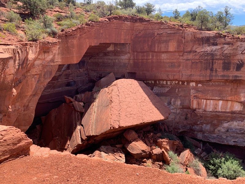
Devil’s Kitchen
After two tenths of a mile, you’ll come to Devil’s Kitchen, a really cool sinkhole that appeared in the 1880s. We couldn’t help but think about rappelling into it, though the only way out seemed to be the same way you got in—a rope. Ah, too much work.
Be sure to visit the lower and upper viewpoints here because each is unique.
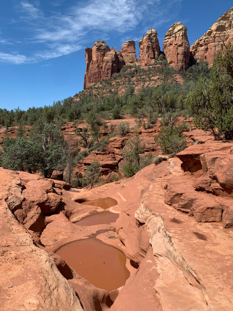
Seven Sacred Pools
Continuing on the trail for just under half a mile more, you and the Jeeps you saw at the beginning will arrive at Seven Sacred Pools. The pools were filled, though muddy, and I couldn’t help but think about the powerful influence of a great name. The truth is, we saw a lot of other pools that I guess weren’t sacred, but it was all sacred to me.
Stay on the hiker trail until you reach the junction for the cave, which is at a pretty obvious trail fork and is marked on the map. Go right.
Soldier Pass Cave
I’ve heard them called caves, but technically they are arches nestled up against the cliff side. If you happen to get off the main trail like we did, you’ll arrive at a large arch without the cool upper chamber first. That’s okay, it’s a great view anyway, and you’ll soon be following the voices over to the main attraction.
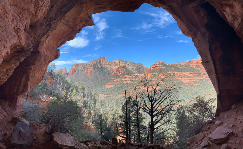
If you stayed on the main trail (good job!), you’ll arrive at the two-story arch first. An easy climb is required to access it. Don’t forget to check out both arches either way.
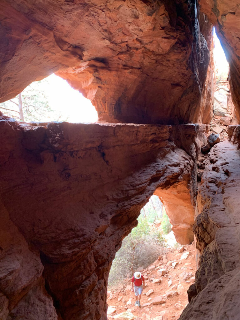
Now the bad news. Yes, you have to walk the ledge to continue the canyoneering route. Or crawl it if you need to. We found both the upper and the lower ledge to be possible, but most of us seemed to prefer the upper ledge.
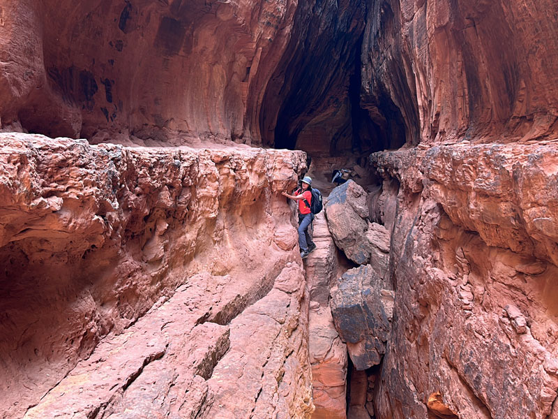
At the other end of the ledge, you’ll have to climb up and out onto the top. Someone had stacked rocks that we used to get up there, but we still benefitted from butt boosts and helping hands.
Once on top, loosely follow along the cliff toward the southeast until you come to the head of the drainage. Take care to stay on game trails, washes, and durable surfaces to protect the desert plants and soils.
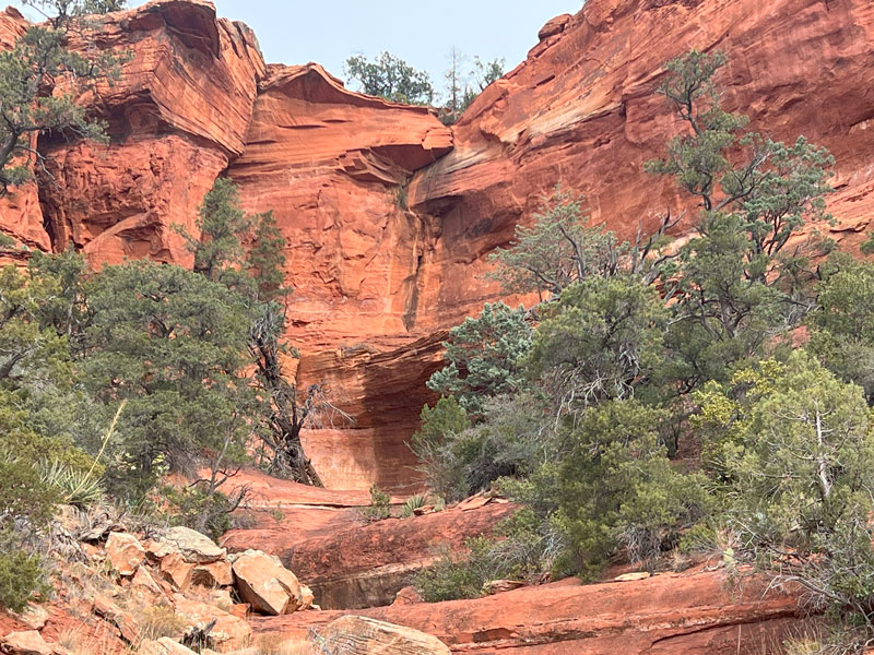
Rappel 1
Length 90 feet
Anchor Tree
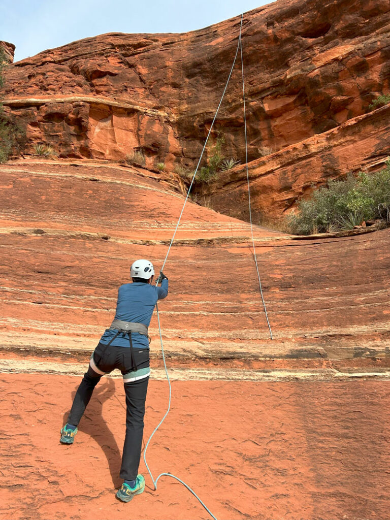
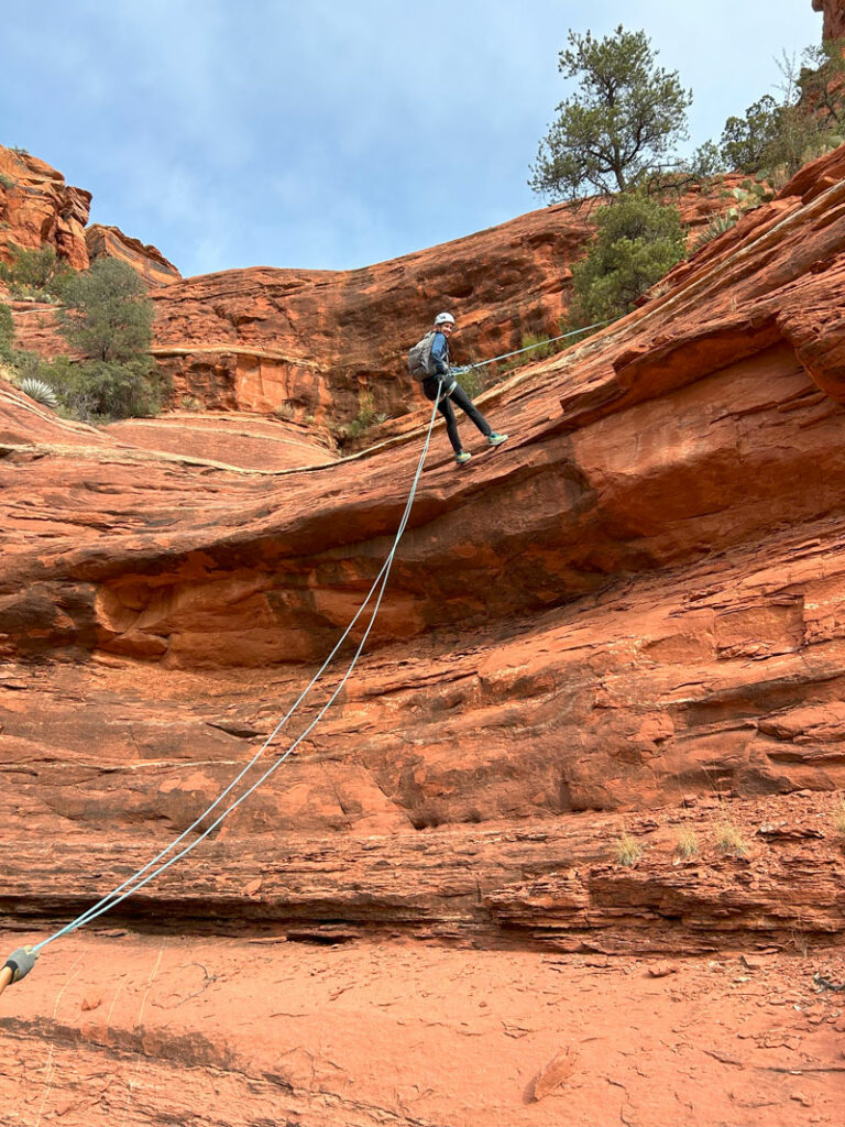
This rappel is two stages and has some free hanging sections. I only wish we had gotten some better photo angles.
Rappel 2
Length 80 feet
Anchor Bolts at the edge LDC, but there was also one on a tree LDC
The bolts are the obvious choice for this anchor, but they make for an awkward start because they are so close to the edge. We opted for the anchor someone had placed in a tree just to make the start easier. We saw that it could cause rope pull issues, but our test pull proved easy.
Rappel 3
Length 25 feet
Anchor Tree LDC
Rappel 4
Length 60 feet
Anchor Tree
The beta on Ropewiki shows an easy downclimb LDC, but we only saw a “bust your head open” downclimb.
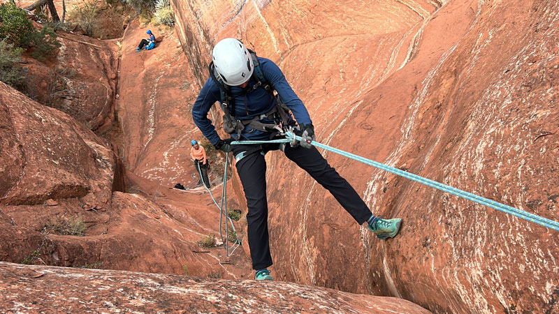
After finishing the last rappel, follow the drainage back to the Soldier Pass Trail, and turn left to follow it back to the parking area.
Or. . . link up with the Sedona Subway Canyon for the perfect day.
Map & Directions
Location Soldier Pass, Red Rock Secret Mountain Wilderness, Sedona, Arizona
From Highway 89A in Sedona, go north on Soldier Pass Road. Take a right on Shadow Rock Drive and then a left on Forest Service Road 9904.
Shuttle If the Sedona Shuttle is running, you can’t park at the trailhead, so you will need to make a left into the Carruth Dr from Soldier Pass Road and then right on Posse Ground Dr and park there. Hopefully the shuttle is there or will be soon. Our driver told us it runs every 50 minutes. If it’s not and you’re eager to get going, you can take the pedestrian path to the trailhead (marked in black on the map). You can also walk on the way back, if you prefer.
Fees/Passes A Red Rock Pass or America the Beautiful Pass is required if you park at the trailhead. If you take the free shuttle, no pass required.
Trailhead Facilities Portable toilets available

Leave a Reply