Tanque Verde Peak
TRAIL STATS
This hike follows a wide, undulating ridgeline as it steadily climbs to the heights of Tanque Verde Peak. On the way, you’ll pass through a pretty juniper forest and enjoy views of Mount Lemmon, Rincon Peak, and the city of Tucson. You can do this as a day hike or as a backpacking trip with an overnight permit from Saguaro National Park.
Trail Description
To start this hike, you will park at the Javelina Picnic area inside Saguaro National Park (east district). There is an entry booth before you get there, so be prepared to pay or show your America the Beautiful pass.
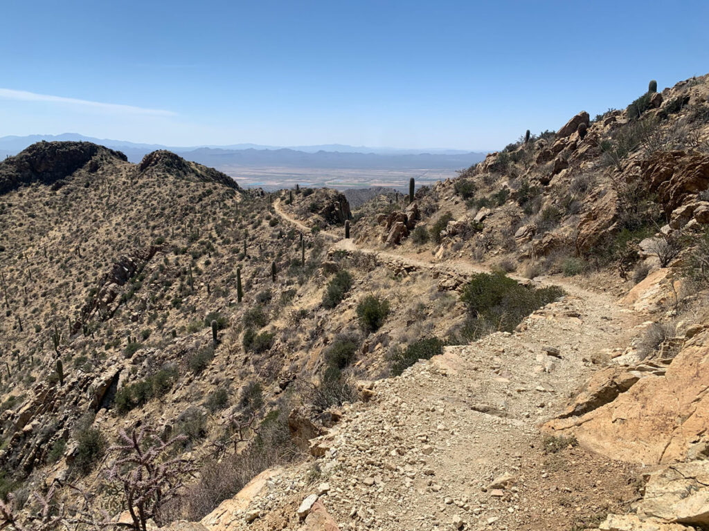
Tanque Verde Ridge Trail
As you start on the trail, you’ll pass over low, rolling hills for a few minutes before the trail begins ascending to the ridgeline. Right away, you’ll find rocky outcroppings that provide excellent views. Get excited, but not too excited. You’re not even a mile in.
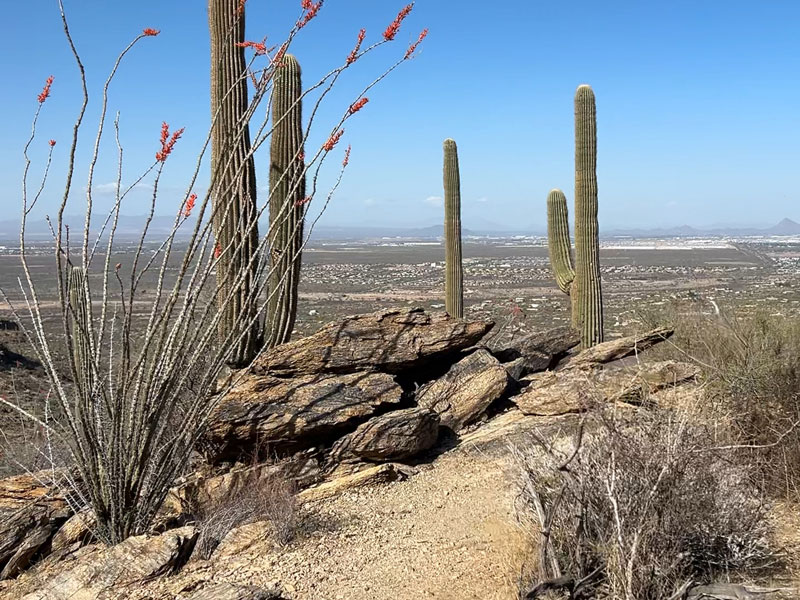
There are a lot of ocotillo plants along the lower elevations of this trail, so if you happen to go when they are blooming—score! If not, Hillary calls them the ugliest, thorniest plants in the desert. I mean, I can think of some that might be worse, but whatever.
Once on the ridgeline, you’ll be trending upward but still have quite a few downhill segments. One trail reviewer described it as undulating, and we came to resent that word on the way back when all the little downhills turned into uphills. The nice thing is that you’re in a national park, and the trail is well-defined and easy to follow.
Crested Saguaro
The rangers once told me there are no crested saguaros that you can see from the trails in Saguaro National Park. We found out that isn’t quite true (did you see the one by the road on the drive in to the Javelina Picnic area?). At 2.5 miles, you’ll come to a great spot to rest that has a crested saguaro. Cool!
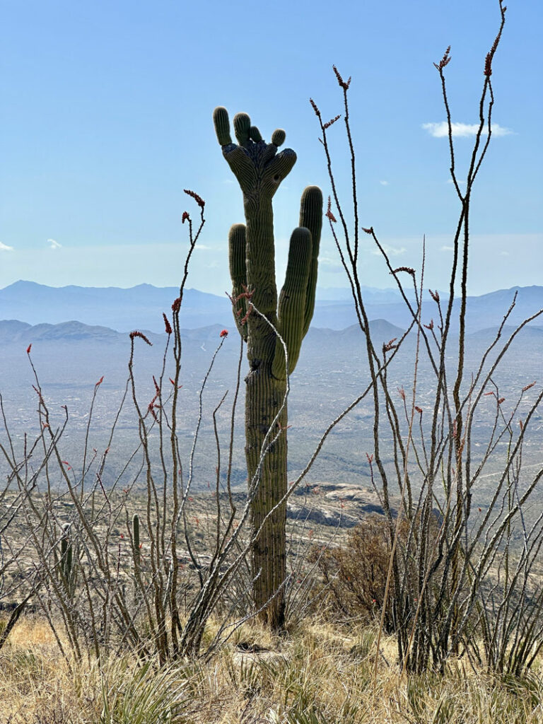
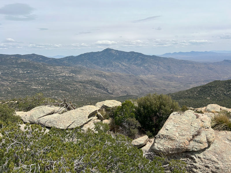
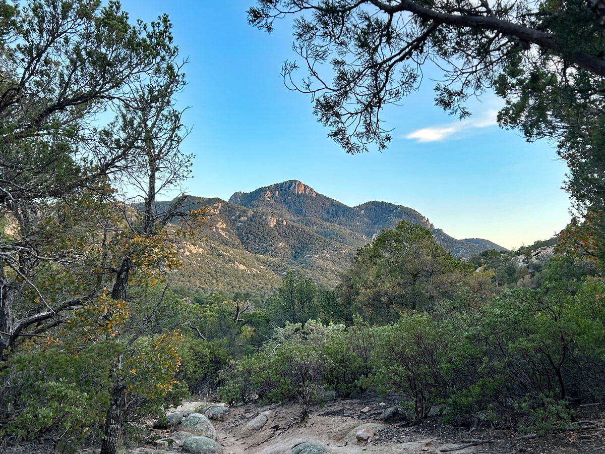
Although the trail is following a ridgeline, the ridge is very wide so it feels like rolling hills with great views in every direction. The peak itself is hidden from view for most of the hike, and sometimes you might be wondering how it’s possible that there’s a peak around there somewhere. Don’t worry, it’s not going to be lame. Promise!
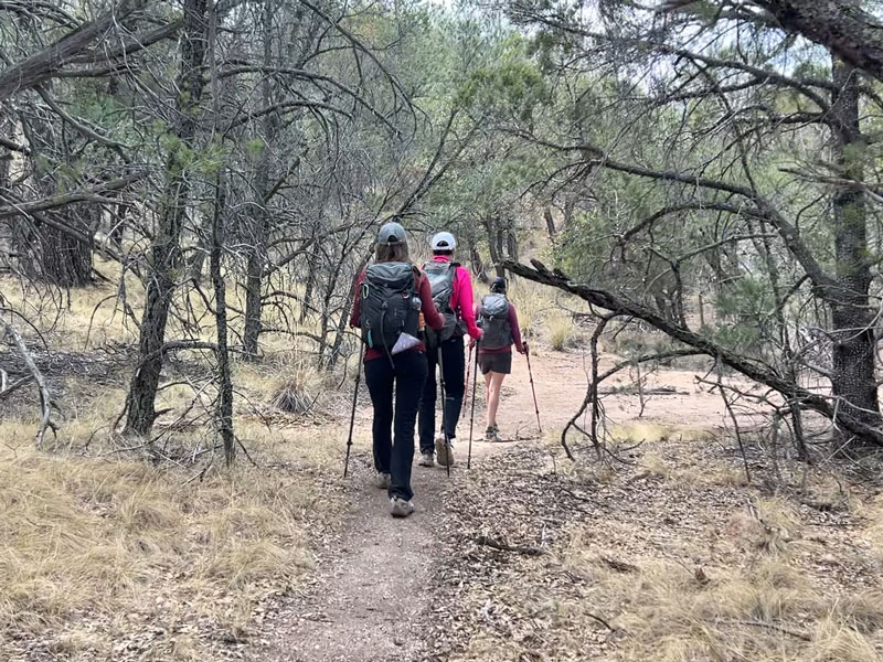
Juniper Basin
At almost six miles in, the trail will veer right and head down into Juniper Basin. The cactuses that once defined the trail now give way to trees and shade. You’ll pass right by the Juniper Basin Campground at 6.5 miles where those who would rather backpack this beast can stay the night. Toilets are available there, but we didn’t go check them out, so user beware.
Hope you enjoyed the shade and the mostly flat trail through Juniper Basin because the trail is about to get serious about going up. This last little push up to the peak feels a bit like a nasty little surprise, but you’ve come this far, so suck it up and get up there!
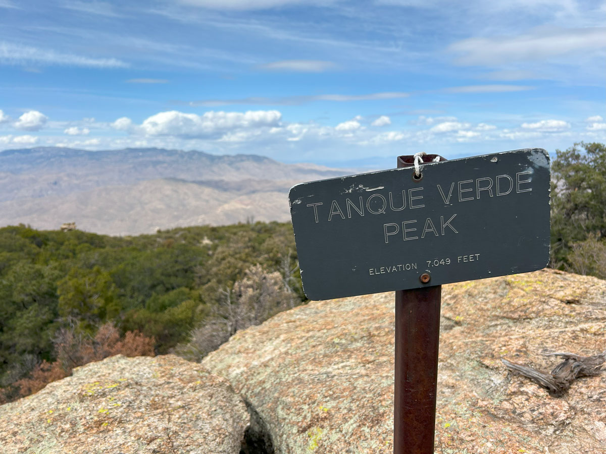
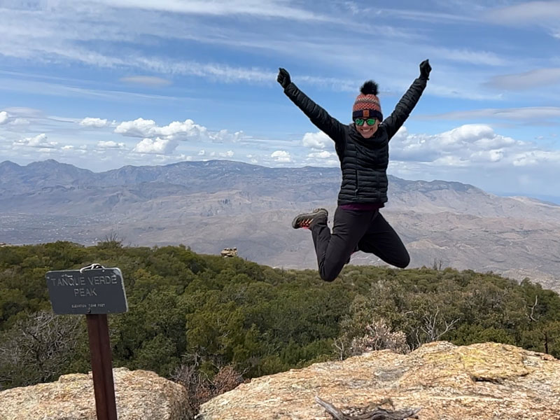
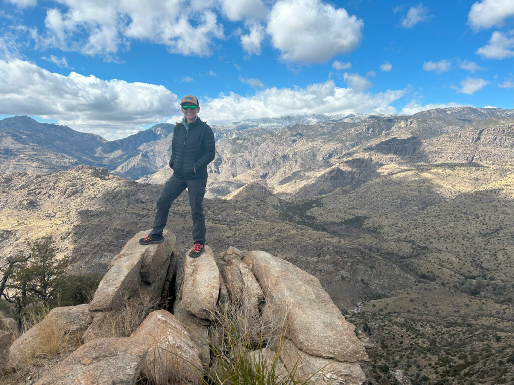
Tanque Verde Peak
Just before the summit, there’s a registration box where you can leave proof that you made it. Well, you haven’t quite made it yet. There’s still a little bit of a scramble to get up on top.
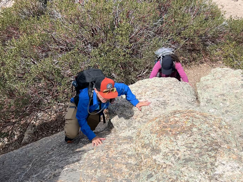
The scramble is short and not too difficult, and when you come over the top, you’re going to be blown away at the views that now spread out before you.
And maybe, just maybe, it’ll inspire you to jump for joy. I can’t believe I had energy for this.
Getting down from the peak is a tiny bit trickier than getting up, and Heather had an unfortunate encounter with a manzanita bush. Be careful!
Now for the long journey back. To get to the top, it took us six hours including summit time and plenty of stops for pictures, breaks, and lunch. We were a bit worried that it would take us six hours to get back, and that would mean we wouldn’t have time to eat at El Charro afterward. We couldn’t let that happen, so we all went potty and had a snack, hoping not to stop on the way down. Okay, we may have stopped once to take off our jackets, but we really cruised back down and were back at the trailhead within four hours. Yes, enchiladas are that important.
Map & Directions
Location Javelina Picnic Area, Saguaro National Park (east), Tucson, Arizona
Google Maps Tanque Verde Ridge Trail
Fees/Passes You must pay an entrance fee at the entrance of Saguaro National Park East or you can use your America the Beautiful pass. To backpack it, you’ll also need a Saguaro National Park wilderness permit from Recreation.gov.
Trailhead Facilities Vault toilets available. Water is available at the visitor center.
Preview this Hike
Recommendations for you
Rincon Peak | Saguaro National Park
Wasson Peak | Saguaro National Park
Gibbon Mountain | Tucson
Leave a Reply