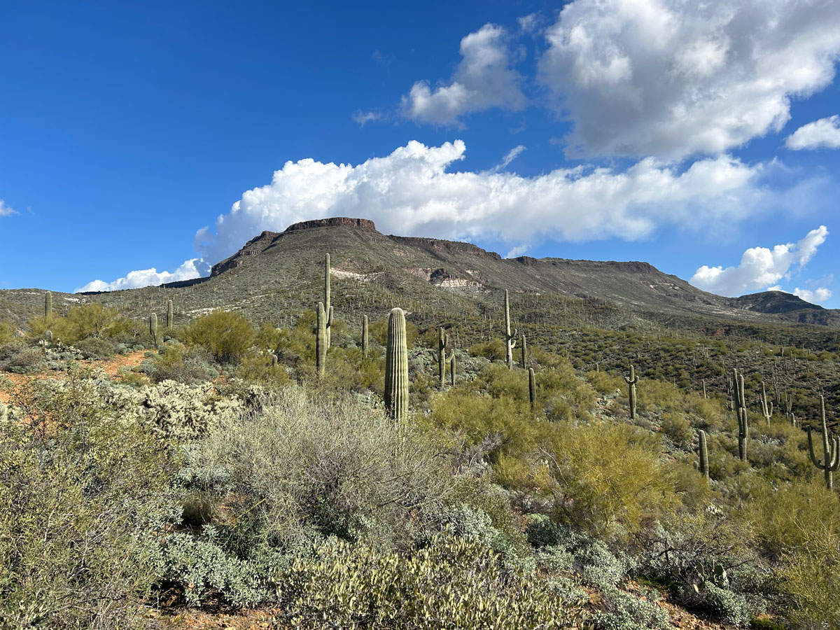
Skull Mesa
TRAIL STATS
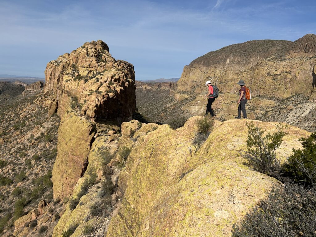
The trail to Skull Mesa passes through beautiful riparian habitat and then gently rolls through the desert before ascending steeply to the summit. From the precipice, you’ll have wide open mountain views that make you feel like you can see forever. Those with a keen eye can spot at least two crested saguaros!
Trail Description
If you’re a fan of hard hikes in the Phoenix area, you’ll love Skull Mesa. It’s beautiful, challenging, and doesn’t get as much traffic as other trails. Or maybe we just lucked out with a perfectly cloudy day that made everything feel a little bit magic.
Spur Cross Trail
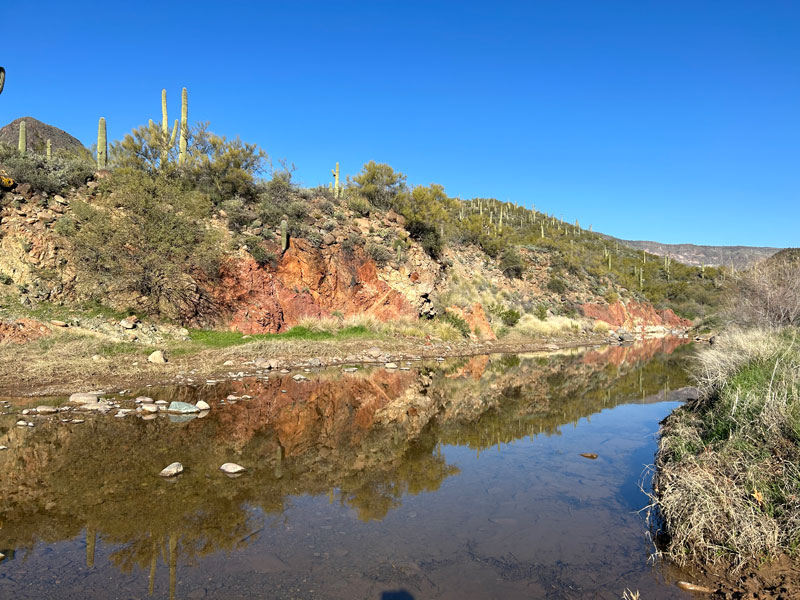
Beginning from the Spur Cross Ranch Conservation Area, hike up the Spur Cross Trail, which is more like a road at first. Beyond the park boundary, it begins to look more like a trail as it crisscrosses the creek several times. There was water flowing when we went, but we were able to use small rocks to keep our feet dry.
Eventually, you’ll get to a sign showing all the nearby trails in the Tonto National Forest. You want to take Cottonwood Trail.
Cottonwood Trail #247
For much of this hike, you’ll alternate between feeling like you’re walking in the wrong direction, wondering why you’re going downhill, and thinking Skull Mesa still looks really, really far away. It is, but you are going the right way, and you can do this!
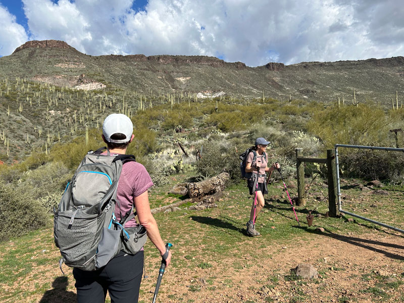
As soon as you pass through a gate, it’s time to look for the Skull Mesa Trail branching off to the left.
Skull Mesa Trail #248
It was all fun and games up until this point, but now it’s time to get serious. Skull Mesa Trail does not mess around, and you’ll immediately begin to go uphill in a trajectory that looks a lot like an exponential function (i.e., it gets steeper and steeper as you go). You didn’t think algebra class was going to help you in the real world, did you?
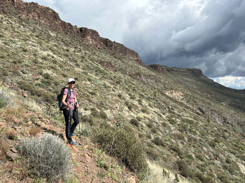
The trail is not too bad, though, and you won’t really need your hands to help you get up there (read: this is no Flatiron).
Skull Mesa Summit
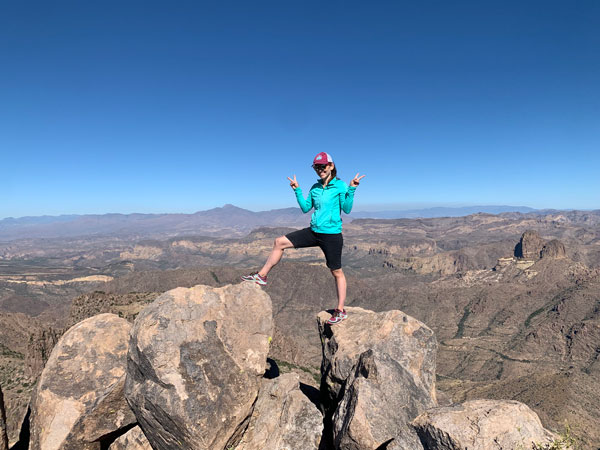
Once the trail begins to flatten out, it’s just a matter of walking up to the precipice. It’s a glorious view!
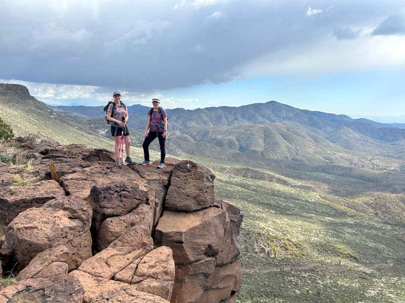
There’ll be some slipping and sliding on the way down on the loose rocks, so hiking poles can be helpful on this hike. Plus, they help guarantee you won’t fall in the creek. . . although Heather somehow managed to fall in anyway.
Crested Saguaros
We had heard there was a crested saguaro along Cottonwood Trail, and while we were scanning the horizon for it on the way down, Heather spotted it!
It wasn’t near the trail, but somehow I convinced those fools to bushwhack over to it. The bushwhacking wasn’t too bad, and the saguaro was a beauty, so they forgave me.
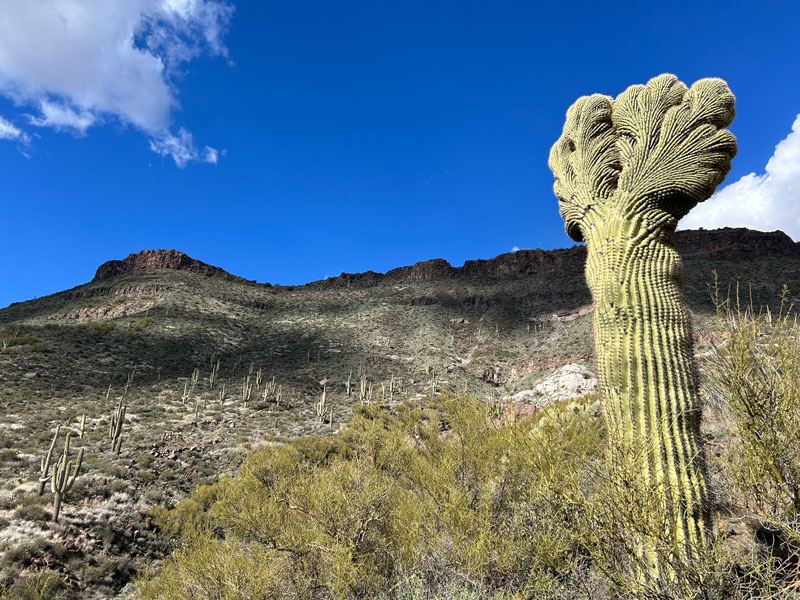
But wait! This wasn’t the same one!
So we kept looking for the other one, which was supposedly on the Cottonwood Trail. As we crossed through a wash, Heather spotted it up on the side of the wash close to the trail. She’s a crested saguaro wizard!
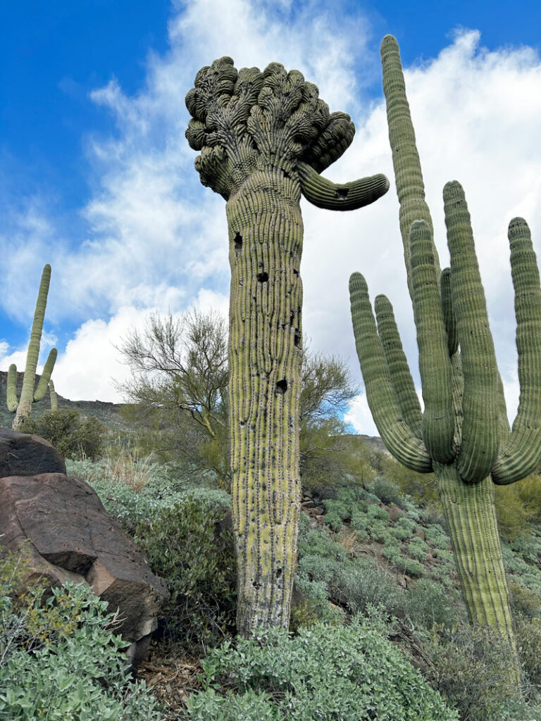
I marked both saguaros on the map, so be sure to keep an eye out.
Preview this Hike
Map & Directions
Location Spur Cross Ranch Conservation Area, Cave Creek, Arizona
From the 101, take Scottsdale Road north. Turn left on Cave Creek Road the then right on Spur Cross Road, which makes a little jog over to the right at Grapevine Road. Follow this to the parking area.
Fees/Passes There is a per person fee, or you can use your Maricopa County Parks Pass for a car load (4 people).
Trailhead Facilities Portable toilets available at Spur Cross Ranch Conservation Area

Leave a Reply