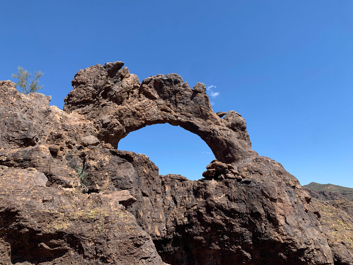
Triple Arches Loop
TRAIL STATS
Often overlooked due to their famous neighbor, the Superstitions, the Goldfield Mountains have some hidden surprises of their own. The Triple Arches Loop travels more than nine miles through a scenic OHV area to a set of three arches with the option to go back the way you came or make a loop out of it to explore nearby canyons. There are a lot of use trails out there, so definitely bring your GPS!
Trail Description
Okay, so it’s not Devil’s Bridge. But at least you’ll probably have it to yourself! The trail starts on an OHV road, but don’t write it off just yet! After about a quarter mile, it leaves the road and starts on a trail through some beautiful scenery. Classic Arizona desert, right there.
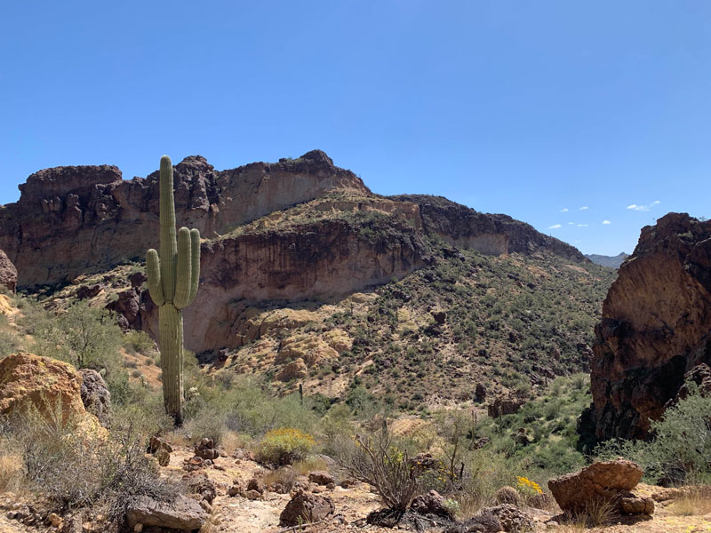
Once in a while, we find something we truly weren’t expecting on a hike. Now I don’t know if these people just made this up as we passed them or if it’s really a thing, but they told us to look up and to our right to see a rock that looks like a tin man. And sure enough, there was a rocky spire made out of gray rock that didn’t match the surrounding rock, and it kinda looked like a tin man sitting up there. Unfortunately, he wasn’t very photogenic, but I saved the photo with a little Photoshop magic. And now, it’s art.
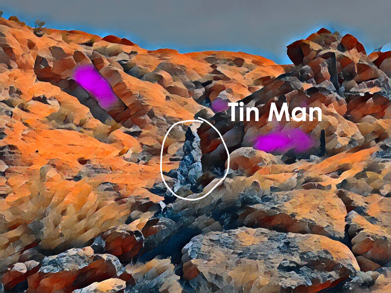
It’s nothing too special, but let’s face it. . . those arches are kinda far out there, and it’s nice to have something to look for on the way. But you know what’s even more important to look for on the way?
The route. Cairns, GPS. All the navigation you can possibly get your hands on! There are about a zillion use trails out there and some 4WD roads, too, so you have close to 100% chance of getting off of it at some point. So look at your GPS frequently, and when you get off trail, remember I told you so.
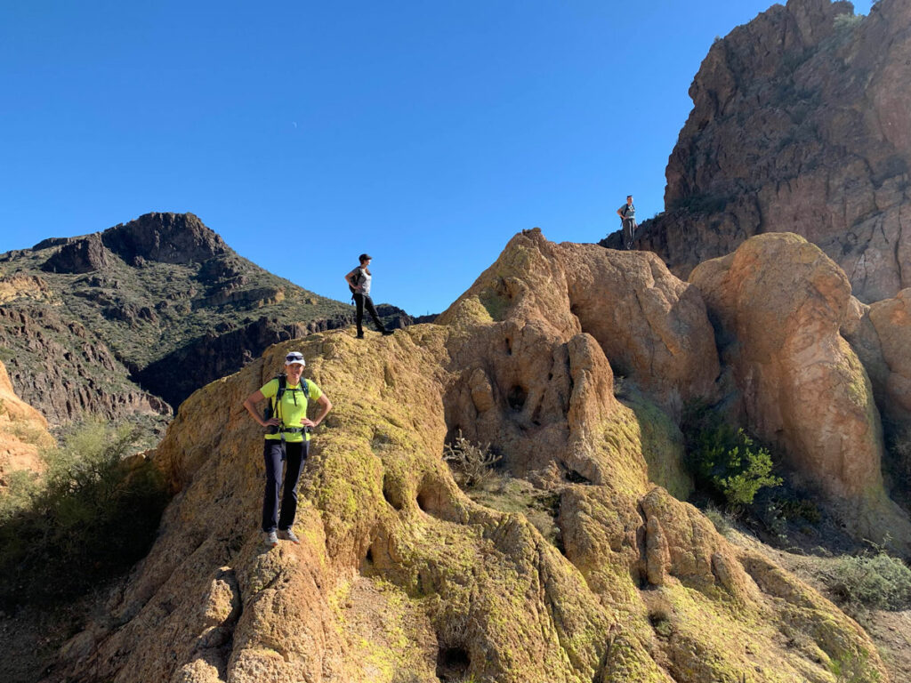
If you’re lucky enough to navigate the first section of the trail successfully, congratulations! Now comes the fun part. You’ll follow a wash for a while, then turn to go up and over a saddle. This part has a poorly defined trail, but it does have cairns, so keep a sharp eye for them lest you suffer the same fate as Heather and me. It involves bushes. And whacking.
The Arches
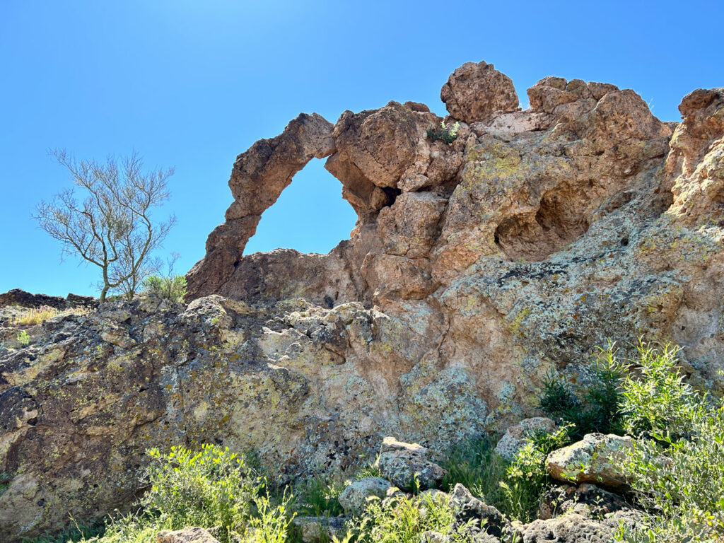
On the other side, you’ll reach another wash, and if you look up, you’ll see the big arch sitting perfectly atop a rocky outcropping. Woohoo! Almost there! Now I have no idea what Hillary and Heather were doing in the arch, but let’s just go with it.
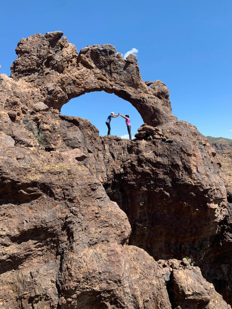
Next to it and down lower is another small arch, and a little farther back is the third arch. That was my first time finding that one!
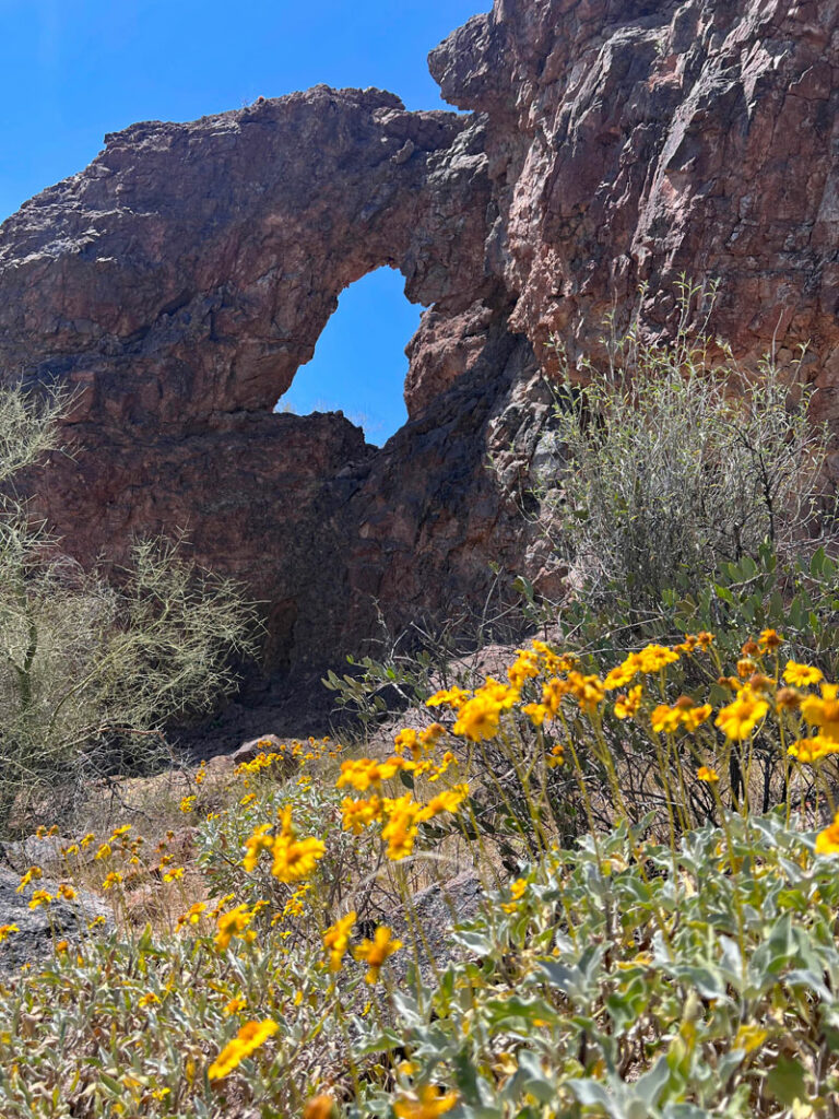
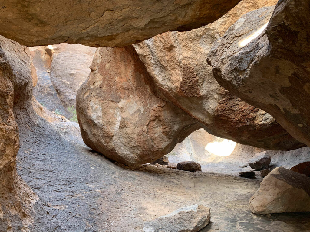
At this point, you can turn back and retrace your steps, or if you’re up for a little more adventure, you can explore the neighboring canyons by making a loop. I like the loop because the canyon has some interesting formations, including a tight squeeze to pass through. Just know this is the more adventurous choice and will require some scrambling, crab walking, and maybe stemming (okay, only if you’re me.) Oh yeah, did I mention watch for snakes? Cuz no wildflower picture is worth playing around with a snake, even if it’s not a rattler. Back away, Heather. Back away.
Map & Directions
Location Goldfield Mountains, Tonto National Forest, Apache Junction, Arizona
Take the US60 to Idaho Road and go north. From Idaho Road, turn right onto State Route 88 toward Canyon Lake. Just past the sign for Weaver’s Needle Vista, look for the large Willow Canyon Trailhead parking area on the left.
Trailhead Facilities None

Leave a Reply