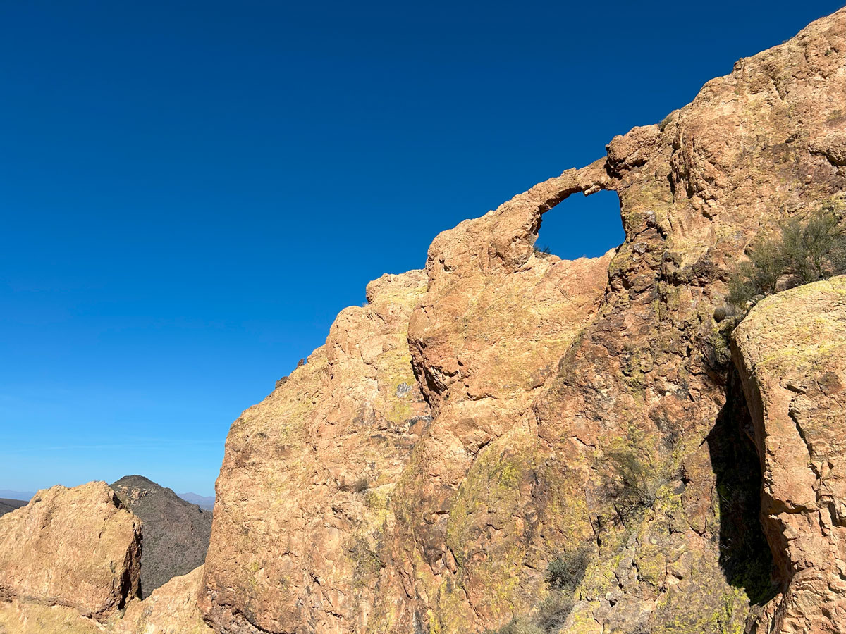
Palomino Mountain and Aylor’s Arch
TRAIL STATS
Get off the beaten path in the Superstition Wilderness on a hike to Palomino Mountain. Featuring an interesting summit with three narrow rock fins reminiscent of its more popular neighbor, Battleship Mountain, Palomino Mountain offers unique terrain with excellent views of Weavers Needle and Aylor’s Arch. The last part of the hike is off trail, and there is a section with loose, steep gravel on the way to the summit, but it’s otherwise not a terribly difficult hike. Only those who aren’t afraid of heights will want to attempt to walk the narrow fins.
Trail Description
This hike starts at First Water Trailhead, which is a popular starting point for several hikes in the Superstitions, including Hackberry Spring, Black Top Mesa, and Battleship Mountain. However, the Siphon Fire charred the landscape in September 2024, so you won’t find the pretty desert scenery that was there before. You’ll still find areas that didn’t burn and great views of the surrounding mountains, so we felt it was worth our time anyway.
Dutchman Trail #104
Heading out from the parking area, you’ll be on the well traveled Dutchman Trail. After about a quarter mile, you’ll see the Second Water Trail break off to the left. Lots of your fellow hikers will be heading that way for Hackberry Spring or Battleship at this point, but you’ll keep right to stay on Dutchman Trail.
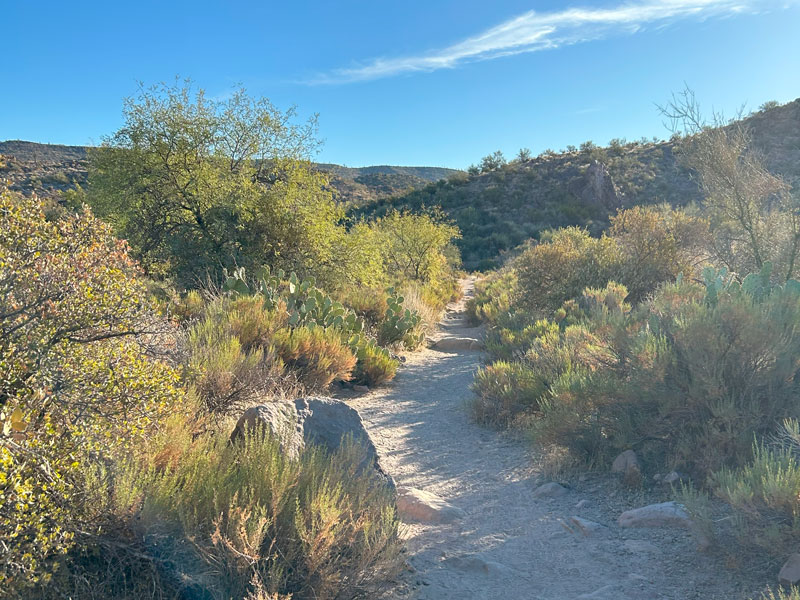
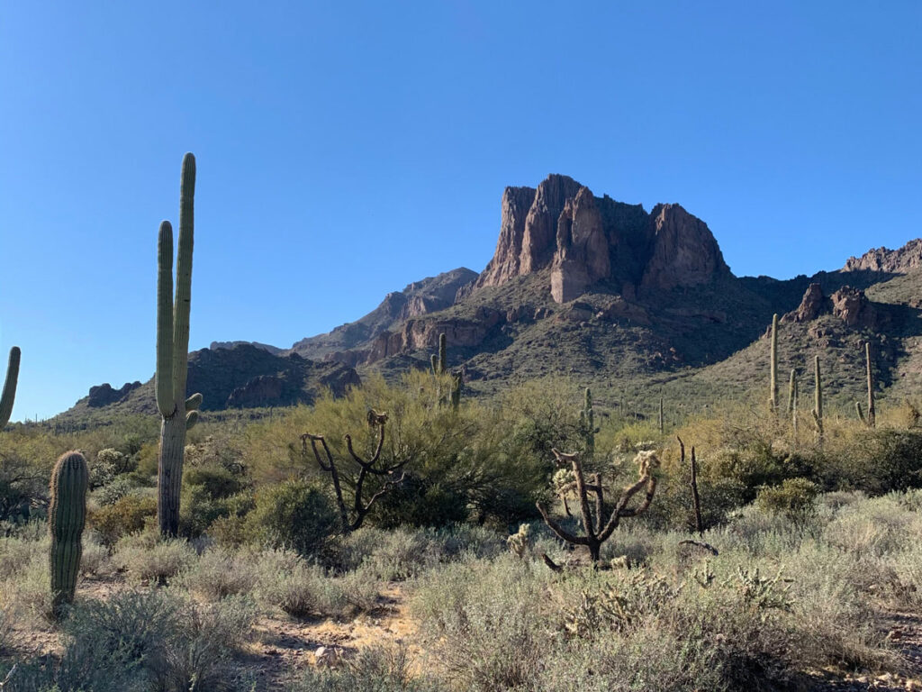
The Dutchman Trail has some ups and downs, but it doesn’t gain much elevation. As you progress, you’ll have some panoramic views of the mountains ahead and glimpses of Weavers Needle in the distance.
Beautiful Superstition Wilderness landscape
When you get close to the junction with the Black Mesa Trail, you’ll be able to see Palomino Mountain and Weavers Needle up ahead.
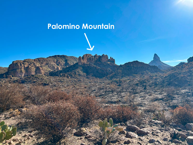
Off Trail Section
Just after the junction with the Black Mesa Trail, you’ll go off trail and head over a low saddle. There were footprints to indicate that people had gone this way recently, but it was still hard to follow their path reliably. The fire may have obscured any trail that used to be there.
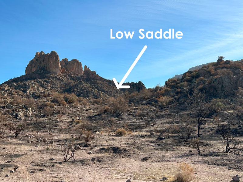
Once on the other side of the saddle, you’ll intersect with a wash. I’m assuming it has water in it during wet seasons, but it was dry as a bone. From here, we tried to follow a GPX route we got from HikeArizona. This route passed a couple old exploratory mines and a rock structure, but nothing that interesting. On the way back, we decided it would have been easier just to follow the dry wash to the right, so that’s the route shown on our map below.
If you don’t want that option, the strategy is to get on the other side of the wash and find the path of least resistance as you make your way to a narrow opening between two crags.
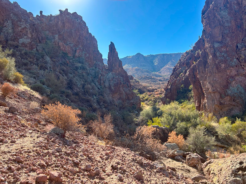
On the other side of this narrow opening, look up to your left to see your path to the summit. Surprisingly, there really isn’t much bushwhacking to speak of.
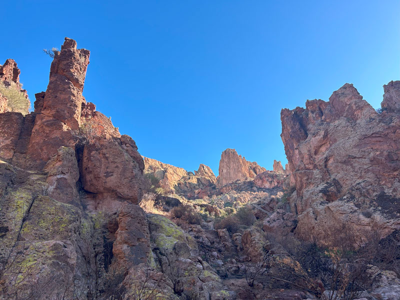
You’ll find occasional cairns and signs of a social trail as you make your way up a narrow chute. This part has some hella slippery gravel (spell check doesn’t like my adjective, but I trust that you get what I mean). We kind of wished we had poles at that point, and we knew going down was going to be tricky.
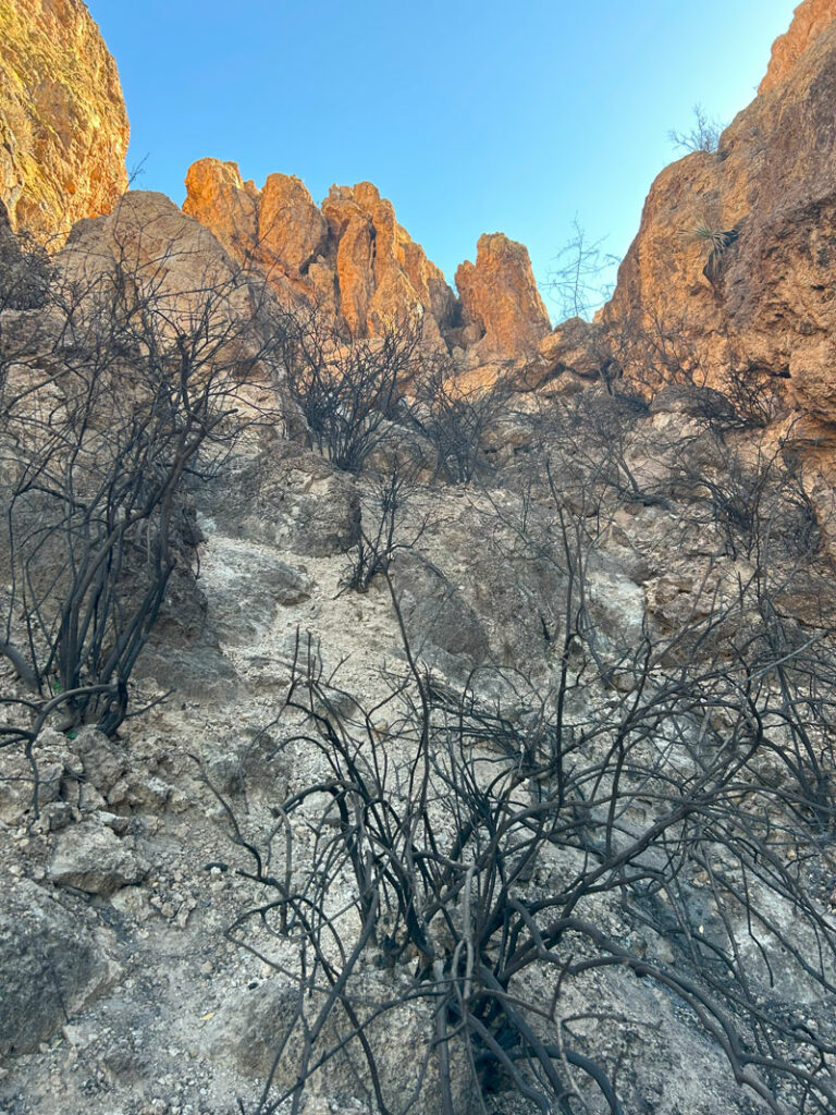
The fire may have saved us from bushwhacking, but the charred plants certainly left their mark on everything that touched them.
Weavers Needle Viewpoint
When you arrive at the saddle, go straight ahead for a magnificent view of Weavers Needle and some dizzying views at the end of the sheer cliff you now find yourself on.
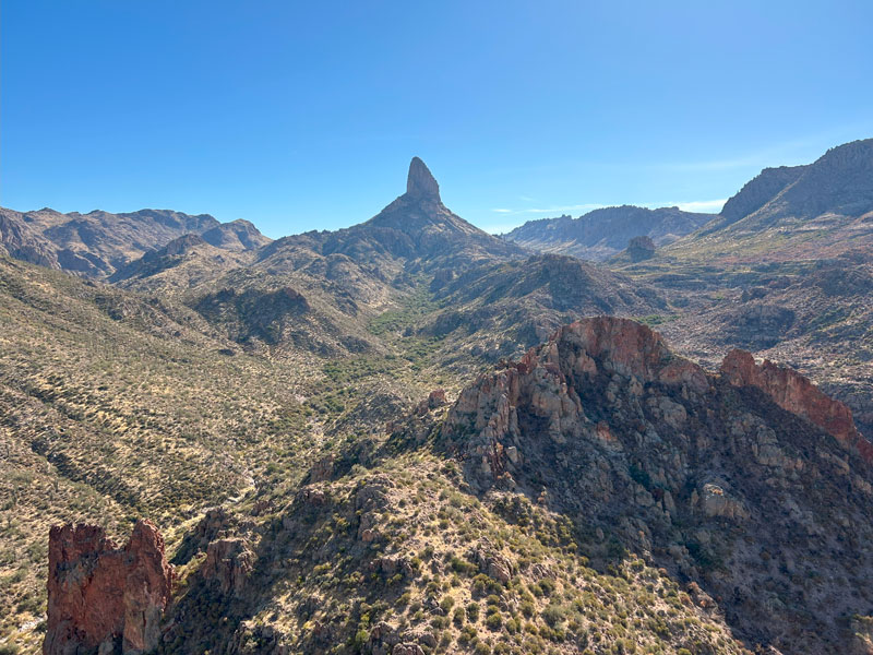
To your left as you approached the saddle is the middle fin, which we climbed up on and followed to the end for an epic lunch spot. Yes, it involved bear crawling because the exposure was a bit freaky, so this little side adventure is not for everyone.
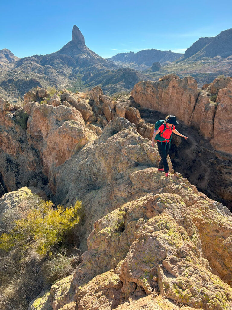
When you get to the end of this fin, you can see Aylor’s Arch off to your right, perched atop the next fin over. To get there, go back to the social trail and follow it left as it goes between the middle fin and the next fin over to the northeast. This route is shown in our map below.
Aylor’s Arch
The social trail will end at some rocky outcroppings that make a great spot to view the arch. At this point, you will be able to see that it’s probably impossible to get in the arch without climbing equipment. However, if you’re like me, you’ll wonder if you can at least get up on top of it, and happily, the answer is yes!
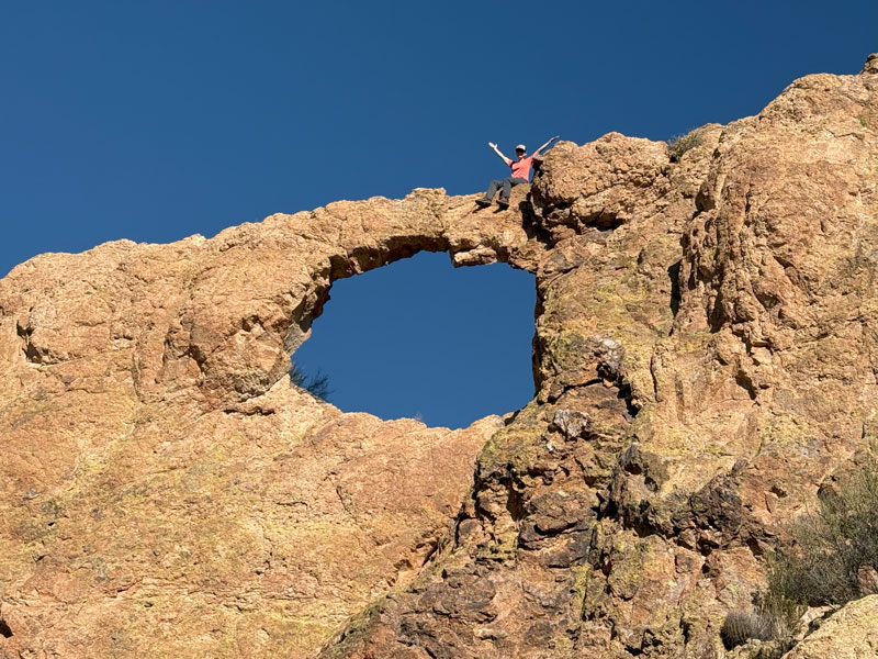
To do so, go back up the social trail until you find a good spot to climb up onto the fin that has Aylor’s Arch. I found this one to be easier to walk across than the middle fin, and no bear crawling was required. The arch itself is very narrow and looks like it might collapse at any moment if I walked on top of it. That probably was an overly dramatic thought, but the it was enough to keep me from attempting it.
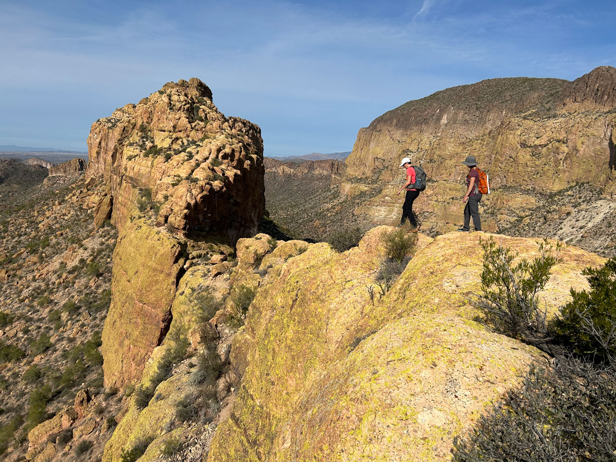
You can also get on top of the third fin by climbing up a crack. It’s not that difficult, but my friend opted to stay grounded and be my photographer. Whether you climb on any of the fins or just go for the views of Weavers Needle and Aylor’s Arch, it’s a great hike that’s off the beaten path.
Just bring poles because hella slippery gravel is waiting for you on the way back, and you’re probably going to fall on your butt at least once.
Map & Directions
Location Superstition Wilderness, Apache Junction, Arizona
From the US60 take the exit for Idaho Road. Go north on Idaho Road to state route 88 and turn right. Follow this road past the Lost Dutchman State Park to the turn for First Water Trailhead. Turn right and follow the dirt road to the end to the parking lot. There is an overflow lot about a quarter mile back if the main lot is full. The road is a bit rough, but usually passable in a passenger vehicle.
Fees/Passes None
Trailhead Facilities Pit toilets

Leave a Reply