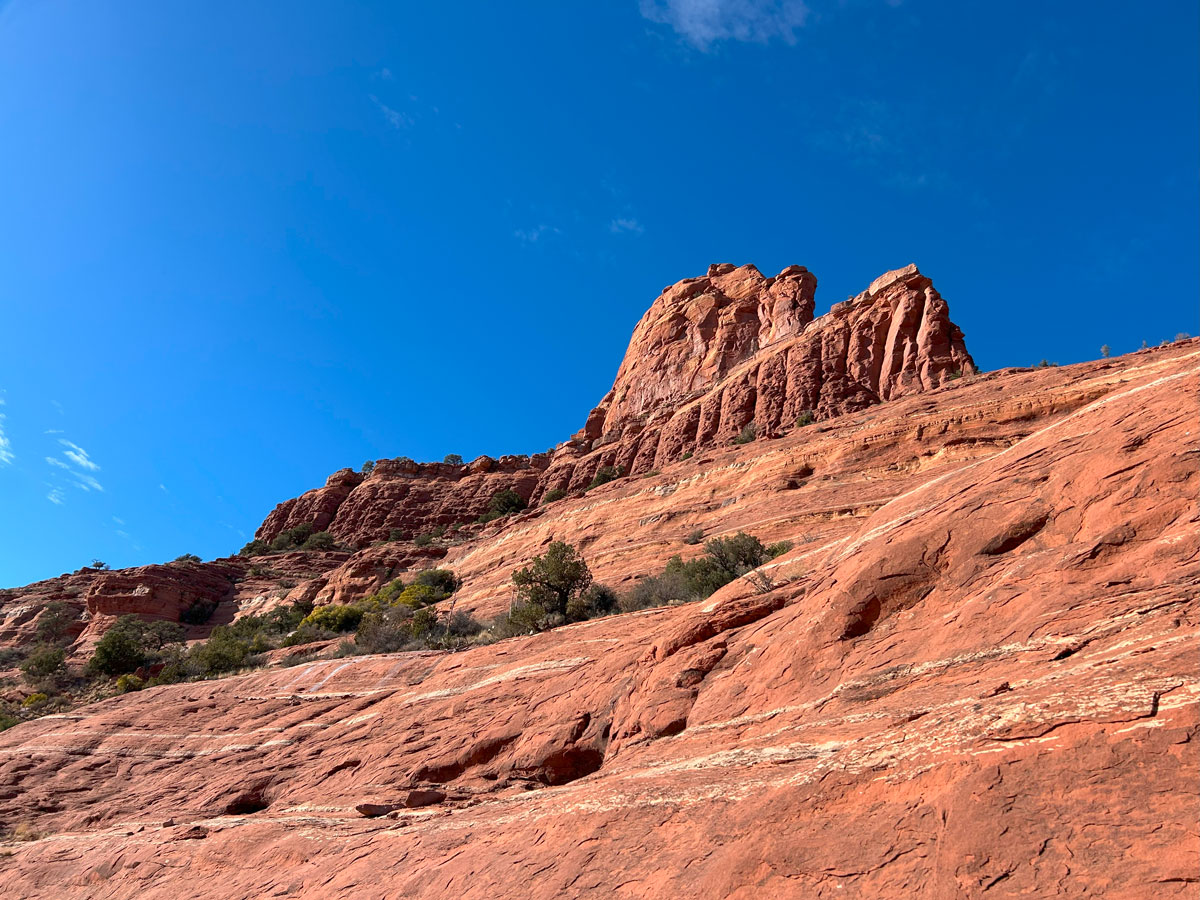
Steamboat Rock
TRAIL STATS
Steamboat Rock sits atop a mountain overlooking Sedona and provides a great alternative to the overly popular (and crowded) Cathedral Rock. You’ll use your hands to help you scramble up the rock to reach a large platform next to the steamboat that gives you expansive views of the area. Those with rock climbing equipment can even climb aboard.
Trail Description
All right, I’m going to make an admission right up front. We actually did a rock climbing route to get up to Steamboat Rock, so we only hiked down this route. Since the sun was going down by the time we were hiking down, the pictures are a bit dark, but I think you’ll get the idea. Sorry, not sorry. That climb was pretty awesome (it’s called Motorboating for those interested).
Midgely Bridge Parking
There are multiple places to start this hike, and the one on AllTrails starts at a different place (and is also longer with more elevation gain). Not saying we’re better than AllTrails (we use it, too), but we sometimes have better ideas. Just sayin’.
The parking at Midgely Bridge, also known as Wilson Mountain Trailhead, can fill up, so get there early and cross your fingers. We arrived at 10:30am on a Sunday of a holiday weekend in January and got the second to last space. So, it’s not the worst parking situation ever (looking at you, Subway Cave), but the lot is not very big. You will need a Red Rock Pass or America the Beautiful Pass to park there.
Wilson Canyon Trail
From the parking lot, head out on the Wilson Canyon Trail. This trail is wide and doesn’t have much elevation change. Fork left to stay on this trail at the junctions with Wilson Mountain Trail and the Wilson Mountain Spur Trail. Each of these junctions has an obvious sign.
Jim Thompson Trail
At the junction with the Jim Thompson Trail, turn left. Up until this point, you’ve had it easy, but now the trail starts to climb. Follow this trail for just under a quarter mile until you see an obvious trail breaking off to the right. It might have branches across it or some other blockade to keep people on the Jim Thompson Trail, but you’re a rebel. Go!
The rest of the trail up to Steamboat Rock is not an official trail, but you can tell it has been well-traveled, so it’s not too difficult to follow. The basic idea is to hike up the east (NE) end of the large rock formation that Steamboat Rock sits on. There are loose rocks that can be slippery as you start to climb higher, so poles might be useful.
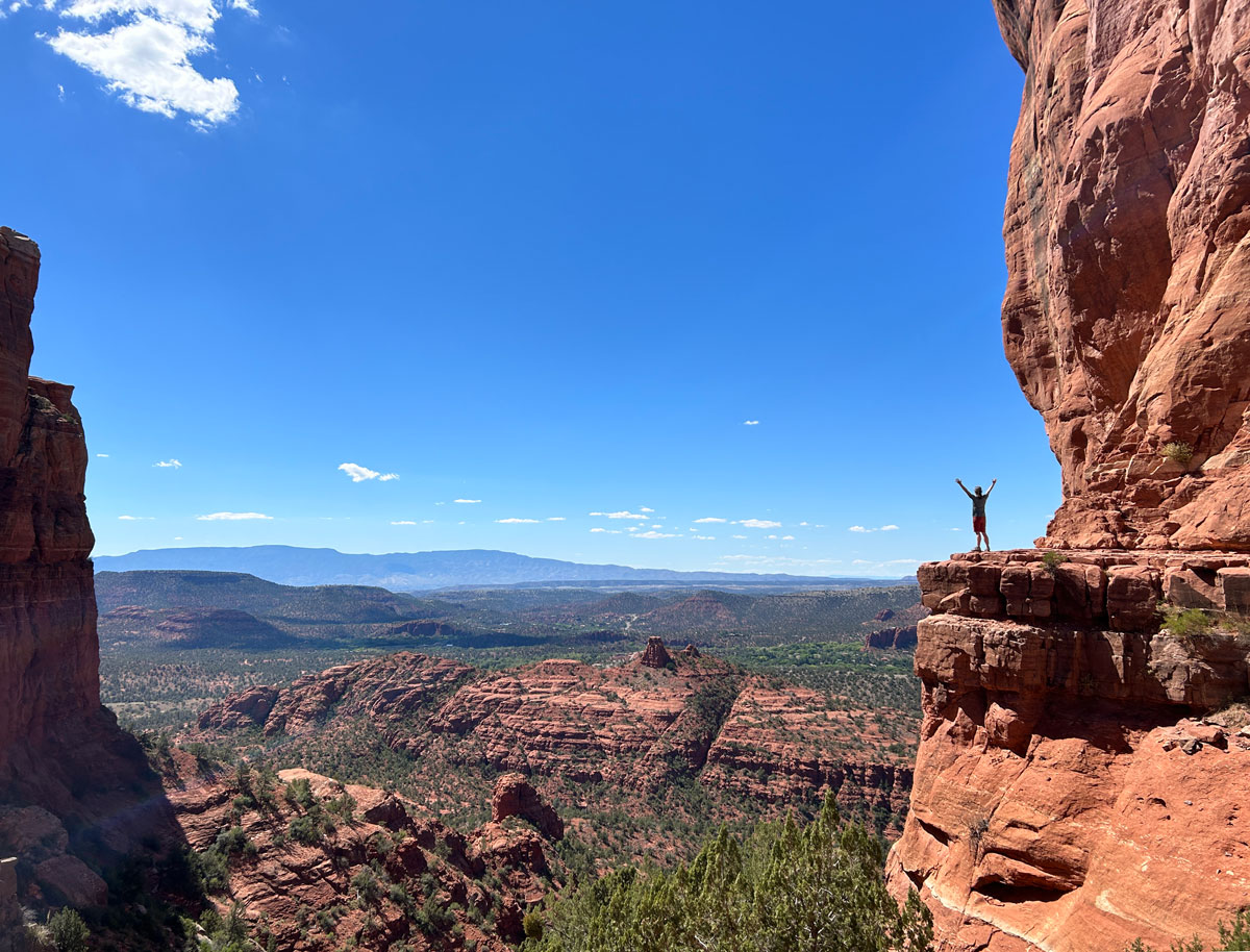
Eventually, the forested, rocky trail will give way to a solid rock. This is where the fun begins! Similar to climbing up to Cathedral Rock, you’ll need your hands free to help you scramble up this section, so stow those poles.
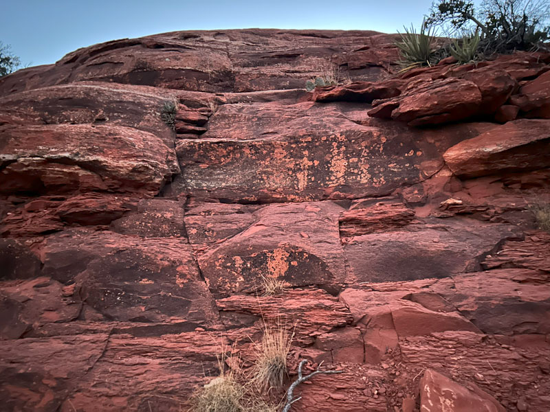
It’s not that difficult or sketchy, but you should have shoes with good tread. Because of the rough terrain, make sure you’re an experienced hiker and steady on your feet.
Here’s another example of the terrain. If you feel like this is within your comfort level, you should be able to complete this hike.
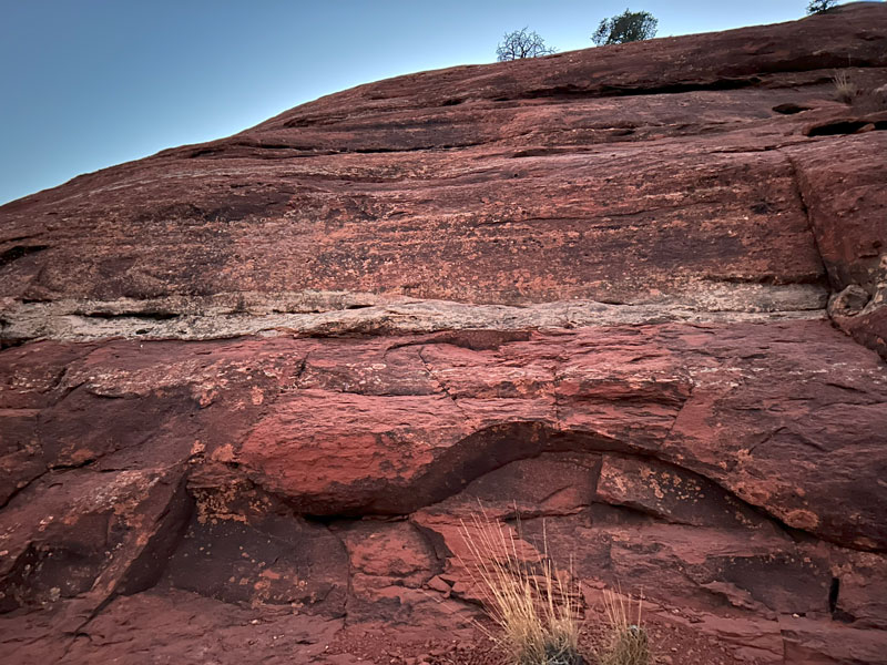
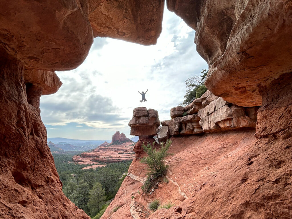
Keep an eye on your map because the route is not well marked, and you don’t want to end up on a really sketchy spot. Especially when coming back down, it can appear that the cliff just ends, so you have to trust the map to find the way down.
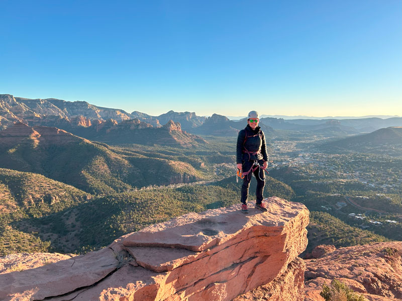
Steamboat Rock
Once you’ve successfully made it up to the next level, you will find yourself on a big, flat area with Steamboat Rock up ahead. It doesn’t look too much like a boat from this angle.
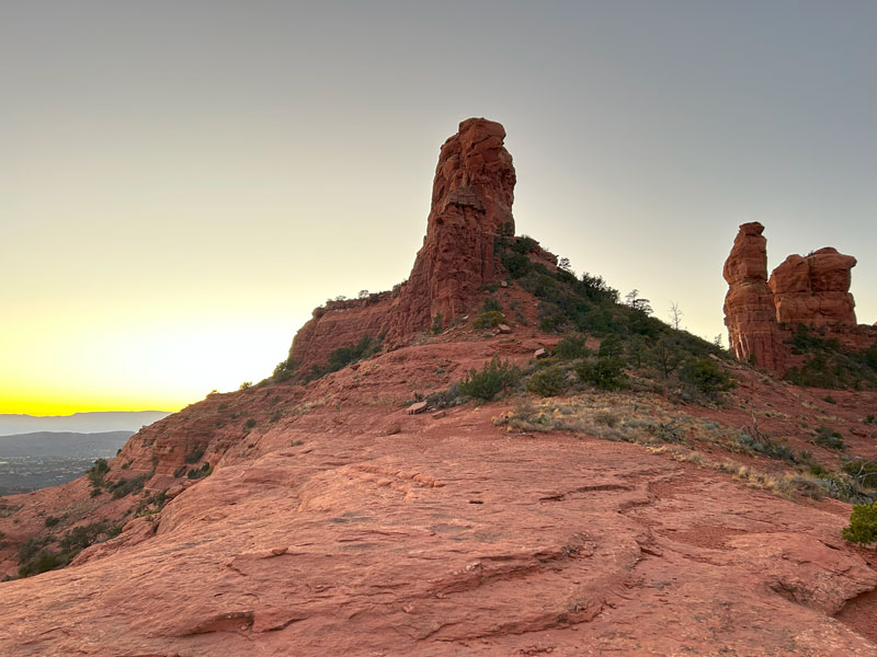
The views from this platform are pretty sweet, and it makes a good stopping point, but you can also continue up to the base of the steamboat. The trail up to the steamboat gets a bit slanted with loose rocks, and if I’m being honest, it’s probably not worth it.
I mean, unless you have climbing gear and are planning to climb it. Then it’s really sweet.
On the way down, keep your map handy to stay on the route. Hiking poles will help going down the loose, gravelly spots. And yes, you can thank me when you arrive at your car almost a half mile sooner than if you had followed your favorite hiking app.
You’re welcome.
Map & Directions
Location Red Rock-Secret Mountain Wilderness, Coconino National Forest, Sedona, Arizona
Take Highway 89A north out of Sedona to the Wilson Mountain Trailhead/Midgely Bridge Picnic area on your left. You can also come south on 89A from Flagstaff. There are not that many spots, so it fills up on busy days.
Fees/Passes Parking requires a Red Rock Pass or an America the Beautiful Pass.
Trailhead Facilities There are pit toilets. No water.
Recommendations for you
Cathedral Rock | Sedona
Merry Go Round Rock | Sedona
Wilson Mountain | Sedona
Leave a Reply