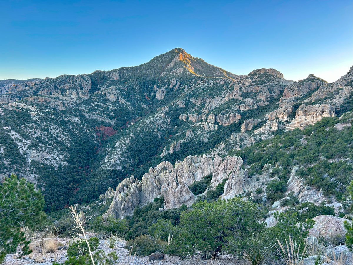
Bassett Peak (with Ash Creek)
TRAIL STATS
Bassett Peak is a nice enough destination all on its own, with large trees lining the bottom half, an interesting ridgeline, and 360° views at the summit. However, where this trail really shines is in the fall when the maples turn into fiery shades of red, yellow, and orange along Ash Creek. Those continuing on to the summit will face a few overgrown spots, tricky navigation to the peak, and some loose footing.
Trail Description
For the past few years, I had been dreaming of this trail every November. Rumored to be one of the best places for fall color in Arizona, this riparian wonderland has a short time window for spectacular leaf peeping, and it’s a bit of a drive from most of civilization. The difficulty of timing it perfectly always kept it on the backburner. Until now.
All I can say is, WOW. During full fall splendor, it’s almost a 5-star hike. Other times, it’s still at least three-and-a-half, and worthwhile if you’re in the area.
Ash Creek Road
Owing to its remote location, you’ll have to take a long dirt road to reach the trailhead. At first, this road is so good that you can drive 60mph on it. Wait, I mean 55 of course.
The last few miles of the road get a little rougher with tall grasses in the middle and lumpy sections. However, most any high clearance vehicle should be able to get back there in dry conditions. Without pinstriping. Bonus!
The road does not actually dead end at the parking area I marked on the map. From there, it continues across the creek, which was dry when we went, and had lots of large boulders. We noticed recent tire tread marks that indicated it’s still used, but it will only seem fun to seasoned 4×4 off-roaders who don’t care about their paint job. Plus, the fall colors start almost immediately, so you’ll likely best enjoy this part of the route on foot.
East Divide Trail #287
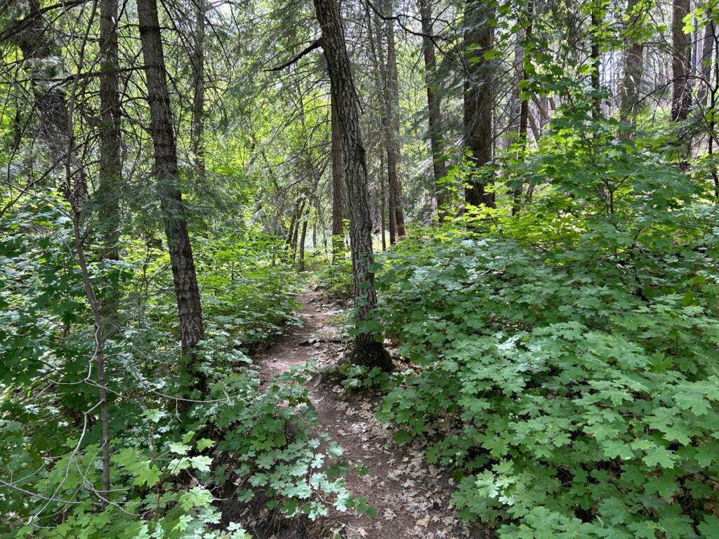
Right away, you’ll notice the maple trees. We went mid-November, and the trees at the beginning seemed to be past their prime color. That deflated our hopes a little bit. As we pressed on, the color became more frequent, more vibrant, and more impressive. Score!
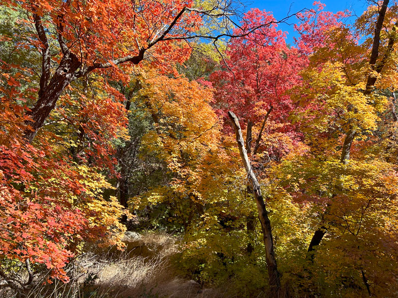
Be sure to allow plenty of time for frolicking, especially if you’re headed to the peak. Leaf angels, throwing leaves in the air, rolling in the leaves. Yep, you drove far for this. Soak it up!
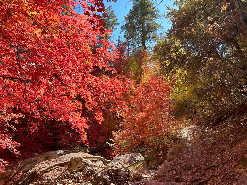
The trail actually feels like it’s still a road for a good two miles or so, which makes it pretty easy to follow. Eventually, it turns into a definite trail, and you’ll cross into the Galiuro Wilderness.
Now, I know you saw the total elevation gain for this trail, and up until this point it hasn’t felt like you’ve been gaining much. By the time you reach the wilderness boundary, you’ve only gained a little over 500 feet. Well, the easy part is over, people. It’s time to climb.
Ash Spring
The trail begins to ascend in earnest as you approach Ash Spring at the 3 mile mark. The spring still had a trickle when we went after weeks without rain, but I wouldn’t bet my life on it. At that point, the trail leaves the creek bed, and it’s time to get serious about the elevation.
The benefit, of course, is that you’ll soon be able to look back down on the autumn splendor from above.

You might also be able to spot a couple of small arches in the rock formations along the trail.
Bassett Peak Ridgeline
Upon gaining the ridge, whatever hopes you had of being “almost there” are dashed as the path to the summit becomes apparent. There are still a lot of ups and downs ahead as you follow the rugged ridgeline to the peak.
The happy news is that you now have a view to both sides, along with some interesting formations that you can climb during your lunch break.
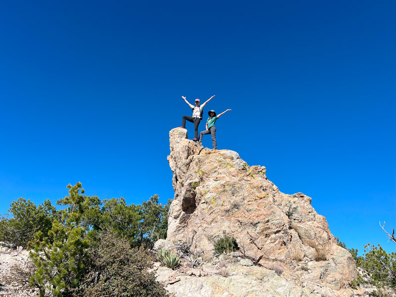
The trail from this point becomes a bit less distinct. Most of the time, there were strategically placed cairns to help guide us along the way, but you’ll probably get off track a time or two. GPS is your friend on this one.
Bassett Peak Trail #287C
At the top of the next saddle, you’ll see a weathered sign marking a trail junction. Go left to continue on Bassett Peak Trail to the peak, which is now dead ahead.

Some of the best views on this hike come on this stretch leading up to the summit. Be sure to stop and snap a photo because it’s more challenging to get a great angle at the top.
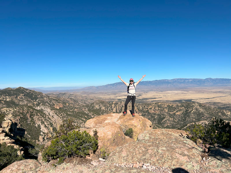
As you start climbing up the peak, the trail gets more faint, more overgrown, and—at times—downright treacherous. We had one panic moment. Loose trail slanted toward a long slide and certain doom. Who wouldn’t find that fun? You might want a pole for stability.

There are also some really steep, really loose spots where you’ll be grabbing onto twigs for stability and wondering if you’re on the trail. Yeah, you are. Probably. Check your GPS, and it’ll give you the disappointing truth.
At the end of one particular switchback, you’ll find a cross and a memorial plaque for someone named Jill, who apparently died of an illness. If you don’t find this cross (marked on the map), it’s probably because you are a better navigator than us and didn’t miss the turn. Pay your respects, then turn yourself around and cut uphill again.
Bassett Peak Summit
When you get close to the peak, you’re in for a surprise. The Bassett Peak Trail doesn’t actually go to the peak. It goes tantalizingly close, but then drops down toward the other side of the mountain.
What. The. Heck?
My best advice here is not to try to follow the GPS track exactly. You want to gain the ridge at the resting spot with the tree, and then turn left toward the peak, finding the path of least resistance. If you’re bushwhacking, you are not on the path of least resistance. Just sayin’.
And then, if you’ve survived the 7 trials of Bassett, you’ll reach the summit!

You’d have the perfect view, if not for the tree that had the audacity to grow right there at the top. If you’re looking for the brass geological marker, it’s under the tree in the spot that looks like a good place to take a leak. Probably just don’t touch it.
Aspen Stand
On your way up, you might’ve missed the adorable stand of aspen in the upper reaches of the canyon near Ash Spring. Once you see how pretty it is, you will have to work to find the best vantage point to take a photo.
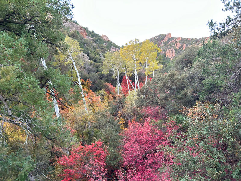
This probably includes climbing up a steep slope, getting on top of a huge boulder, and then sliding into a rock when you lose your footing on the way down. May cause nausea, vomiting, dizziness, or fainting. Plus, a serious contusion.
But, alas, if you have friends as good as mine, they’ll feed you popcorn, give you drinks, reduce swelling with their cold hands, and get you back on the trail in no time.
Not in time for Mexican food in Benson, but still.
Map & Directions
Location Galiuro Wilderness, Willcox, Arizona
Google Maps Bassett Peak Parking
From Willcox, take Fort Grant Road west and then north to Ash Creek Road. Follow that road until you get to the parking area.
Fees/Passes None
Trailhead Facilities None

Leave a Reply