Devil’s Chasm
TRAIL STATS
Devil’s Chasm in the Sierra Ancha Wilderness is home to an impressive, well-preserved cliff dwelling built by the Salado people between 1280 and 1350. The hike up there is fairly short, but you’ll have to climb up a couple obstacles along the way, and the last quarter mile is very steep with loose dirt. Handlines may be in place to help you, but it is possible to overcome the obstacles without a rope. The road beyond the turn for Cherry Creek Campground is very rough, so you’ll want a 4×4 high clearance vehicle.
Structures built by those who came before us are part of our American heritage and are fragile and irreplaceable. Please do your part to protect them by not disturbing them in any way. Do not walk or climb on any part of the structure, and leave it as you found it. Enjoy!
Trail Description
Cherry Creek Road (Forest Road 203)
Before you get your heart set on visiting this place, you’re probably wondering just how bad that road is. Well, I forgot to take any pictures in the daylight heading in, but I got one shot going out. Somehow, it doesn’t seem to do it justice.
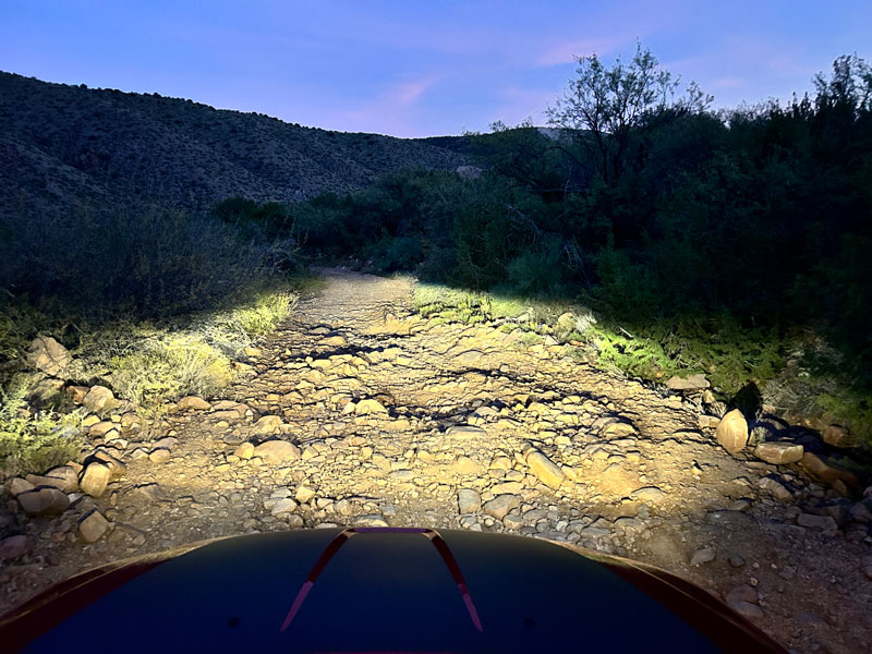
Basically, after the sign that says there is flood damage ahead, you’ll be driving up a hill over some pretty big rocks. Evidence suggests that people who came before us bottomed out on some of the bigger ones, but our 10+ inches of clearance got us through without a scrape.
Devil’s Chasm Trail
Park near the sign at the trailhead, and then start making your way up a wide path through a lovely forested area. It looks like it would be gorgeous in the fall because it was covered in fallen leaves in mid-December.
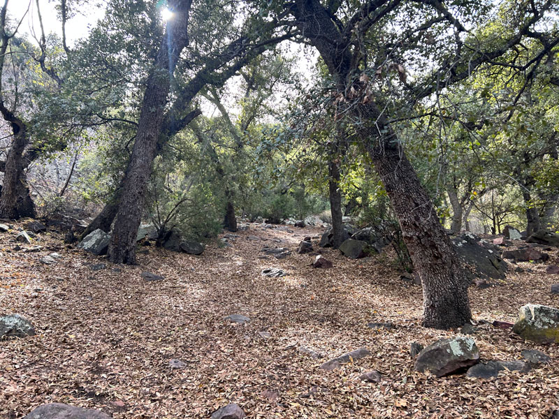
The trail is mostly easy to follow, but there are a few spots where it splits in two. Usually, one path will go up to the left to get past a rocky area or fallen tree. We took a few different options on our way down, so it’s just up to you what you’re most comfortable with. They all follow the left side of the creek and seem to meet up eventually.
Box Narrows
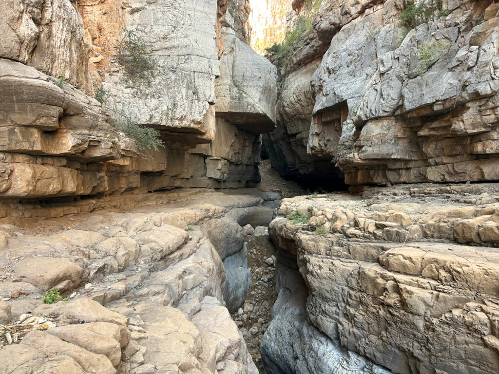
As you make your way up the canyon, you’ll begin to see the towering walls close in, and you’ll find yourself in a smooth basin. Not long after, you’ll need to climb up this short crack and go through a rabbit hole to get up to the next level. There was a handline in good condition when we went, but if there is not, anyone with a little climbing experience can get up there. You may want to bring a short length of rope if you’re unsure.
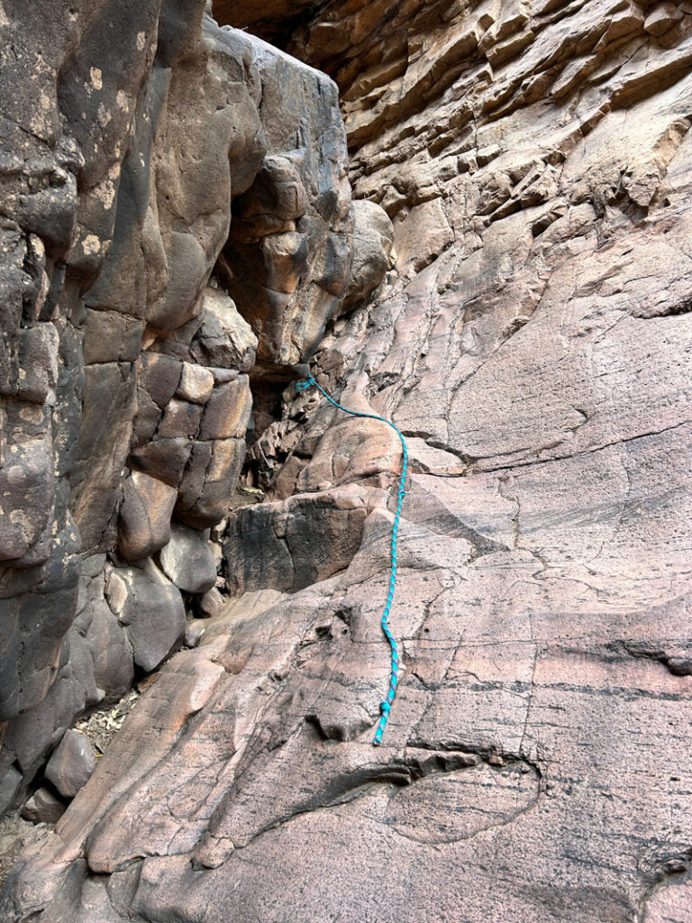
Above that obstacle, there is more smooth basin. At one point, we saw another handline, but we didn’t use it to get up. It is more useful to help you get down, if you choose.
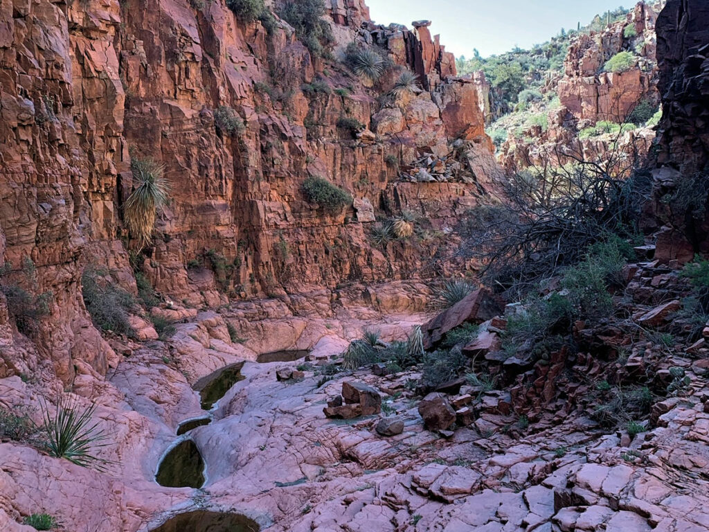
When we went, this basin was dry except for a few green pools, but we could see how it might be more of a challenge if running water was present.
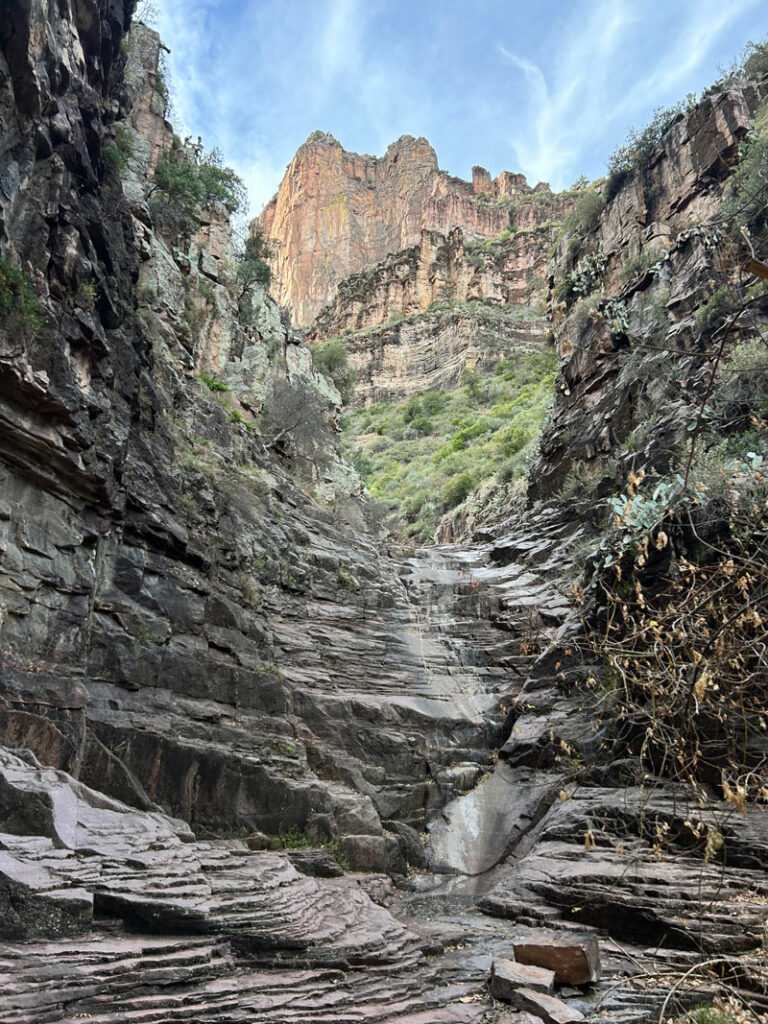
Beyond this, it’s mostly a rocky drainage where you pick whichever path works best for you.
Shortly after the point where you’re walking along a grassy shelf, the trail will turn to the right and head straight up the side of the canyon toward the cliff dwelling. This part is VERY steep with loose dirt and not much to use for footholds. You’ll be using branches and roots to help you get up there. But when you spot the cliff dwelling from below, it’ll give you motivation to keep going.
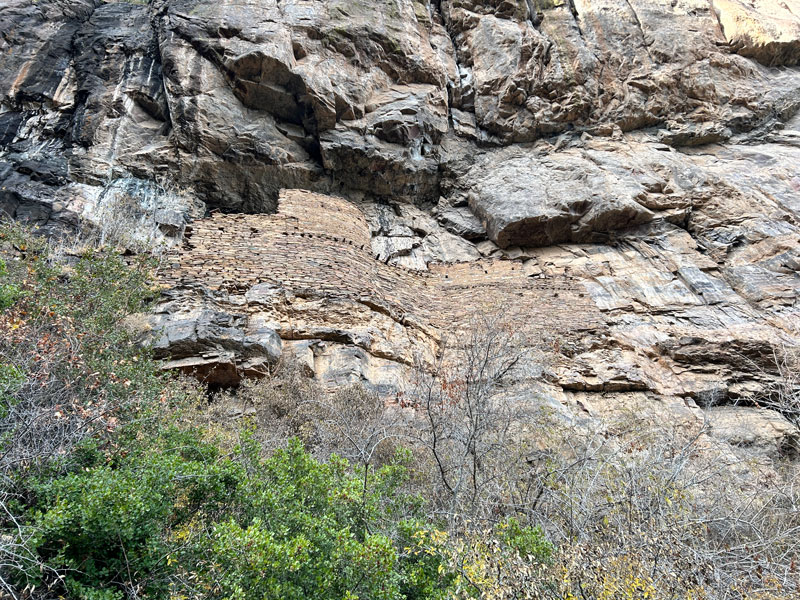
When you get to a rock wall, you’ll make your way left to a place where you can climb up and then go back to the right to the ruin.
Devil’s Chasm Cliff Dwelling
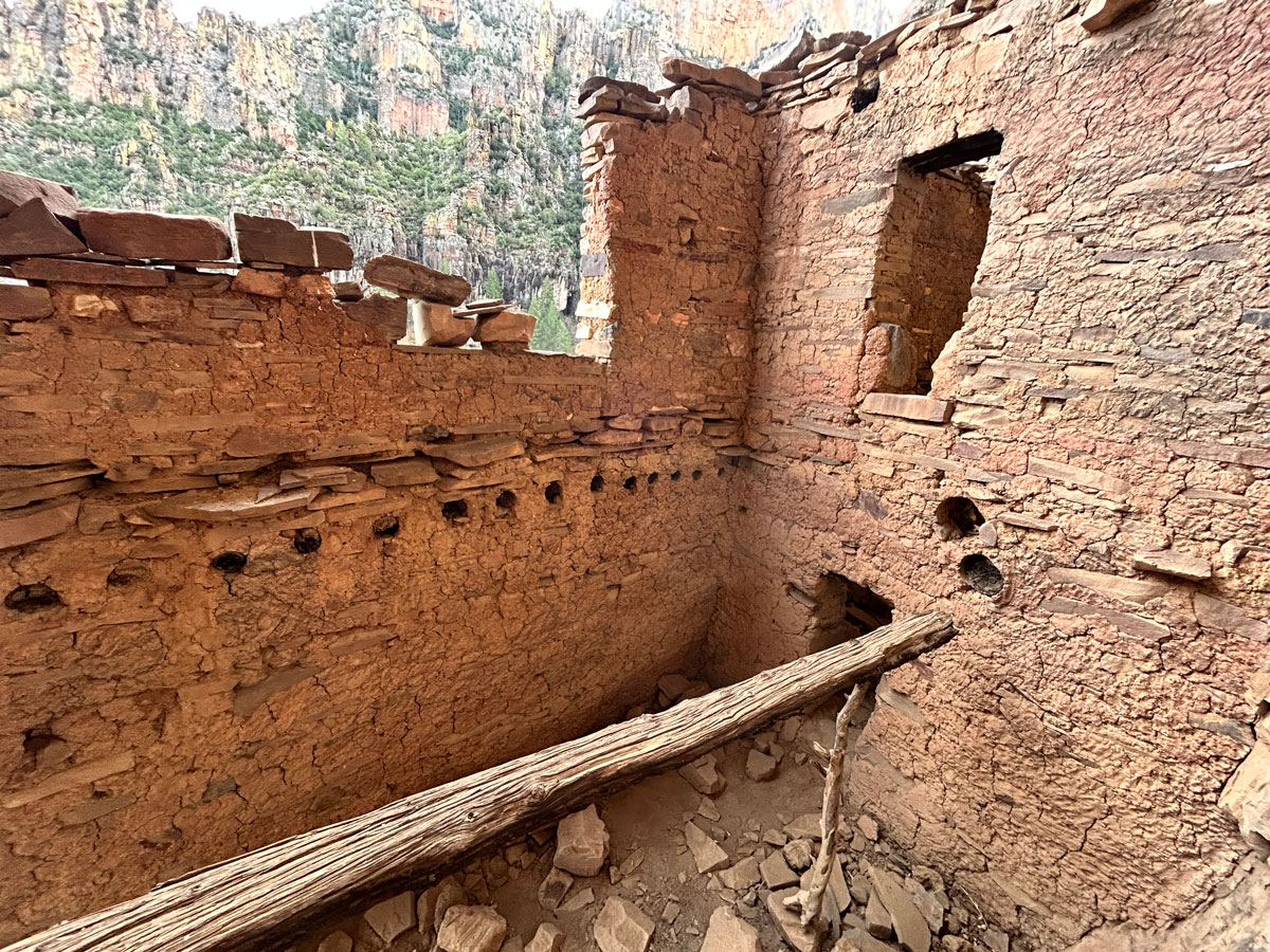
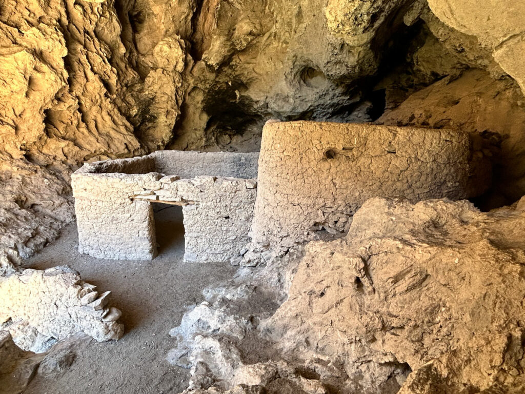
The main structure has five rooms that obviously once had multiple floors, and some of the timbers remain. A very small doorway connects each room to the next.
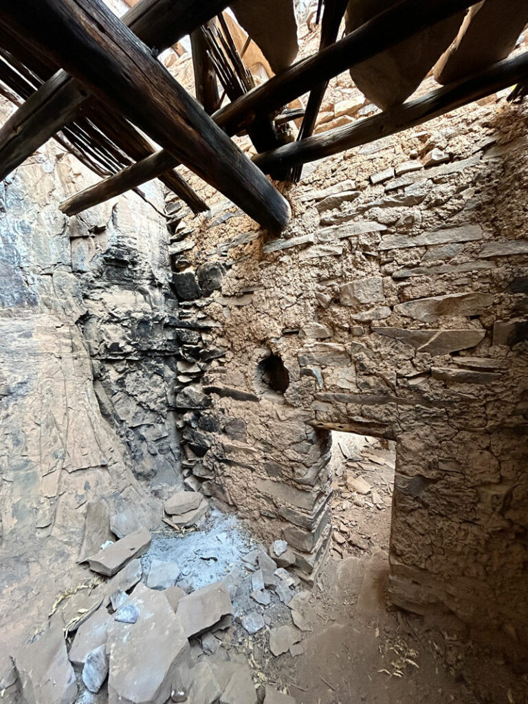
The opening in the last room leads out to a ledge. Most people will prefer to play it safe and not walk the ledge, but it is possible.
Near the entrance, you can climb up the rock wall to get a view of the ruin from a higher ledge. Remember, do not use any part of the ruin to help you get up there. If you can’t get up without climbing on the structure itself, please don’t climb at all.
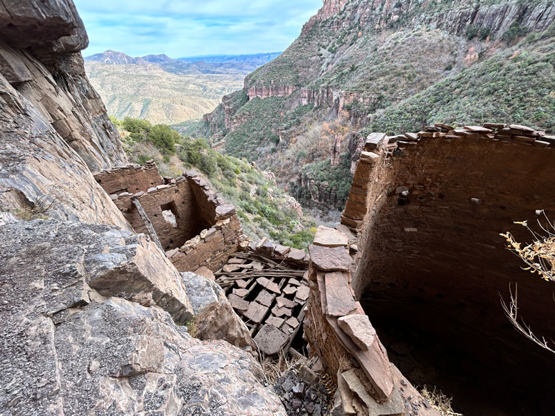
What a view, right?
If you go back down the rock ledge that the main ruin is perched on, but you stay above the trees and shrubs, you can take a path heading toward the horizon to a lesser ruin that only has a few low walls remaining.
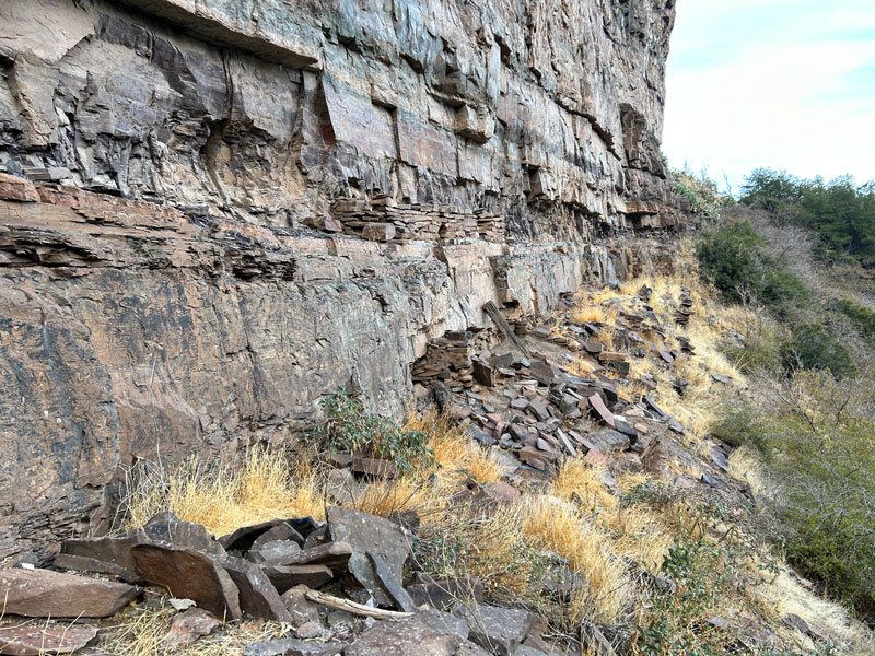
When you’re ready to go, you’re in for some fun as you do some sliding back down that steep section. My best advice is to grab whatever live plants you can find and go backwards on the steepest parts.
And if you see some rad black sunglasses, let me know.
Map & Directions
Location Sierra Ancha Wilderness, Globe, Arizona
From Globe, take SR 188 north toward Roosevelt Lake. Turn right onto SR 288. Turn right onto Cherry Creek Road (Forest Road 203) and proceed 22 miles to the parking area. Note that the road becomes very rough after the turn for Cherry Creek Campground, and you will need a 4×4 high clearance vehicle.
Fees/Passes None
Trailhead Facilities None

Leave a Reply