Rogers Canyon Ruins
TRAIL STATS
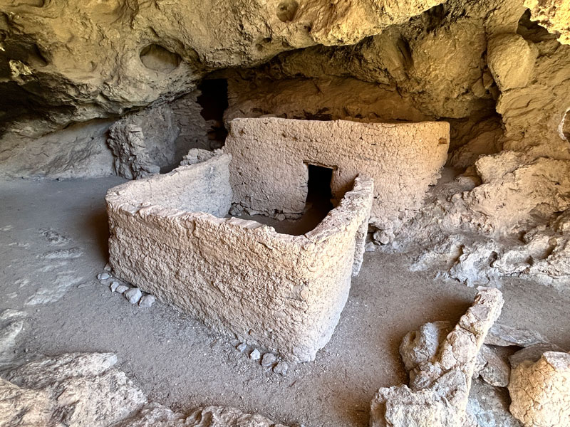
Visit some of the most well-preserved ruins in Arizona on a hike through Rogers Canyon in the eastern Superstition Wilderness. Built by the Salado people around 600 years ago, the Rogers Canyon Ruins feature mud mortar and intact timber supports, owing to their protected location inside a large cave along the canyon wall. Rogers Canyon Trail can be hard to follow because it’s lightly traveled and crisscrosses in and out of a normally dry creek bed. The road to Roger’s Trough Trailhead is only suitable for 4×4 high clearance vehicles.
Native American ruins, petroglyphs, and artifacts are an important part of our human history and are of significant importance to their modern day descendants. Please respect these sites by looking but not touching or desecrating them in any way. Any vandalism could subject you to criminal penalties.
Trail Description
First things first: that road. If you’re going to start this hike from the Rogers Trough Trailhead, you’ll need high clearance and 4wd to get there. It’s rough, rutted, sandy in places, and somewhat steep. But don’t worry, we cleared the sharp, tire-piercing rock for you, so hopefully you can make it without getting a flat. Wouldn’t that be nice?
Reavis Ranch Trail
After that rough drive in, you’re probably looking forward to a nice smooth trail, and to tell the truth, the first part of this hike is pretty decent. This section of the Reavis Ranch Trail is part of the Arizona Trail, so it gets used a fair amount. Follow it past the junction with the West Pinto Trail and on about another mile and a half to the junction with Rogers Canyon Trail.
Rogers Canyon Trail
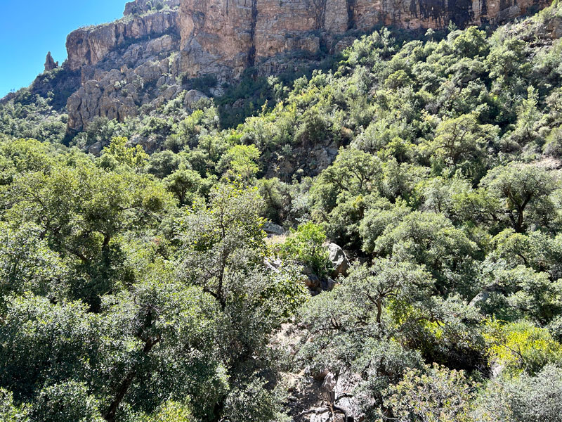
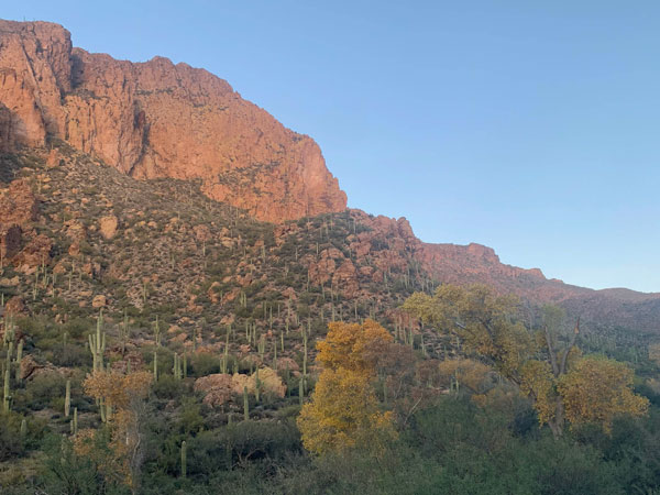
This is where you and the decent trail part ways. Rogers Canyon Trail follows a creek bed that may or may not have water, depending on recent rainfall. The trail is constantly crossing in and out of it. Because this area is prone to flash flooding, it can be hard to stay on the trail if it’s been damaged or obscured by flood debris. It’s also quite rocky, so the going is generally slow. But don’t let this stop you from going—the ruins are worth it!
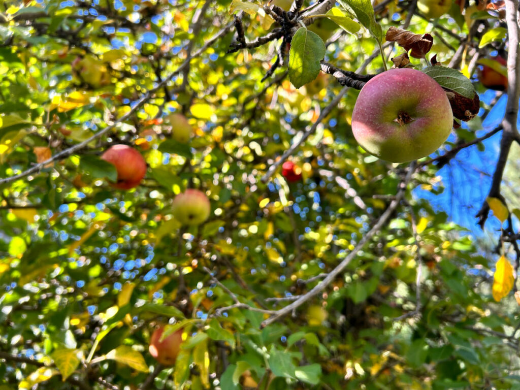
The benefit of following a creek bed is there are a lot of trees, including large sycamores and willows, that seem slightly out of place in this desert environment.
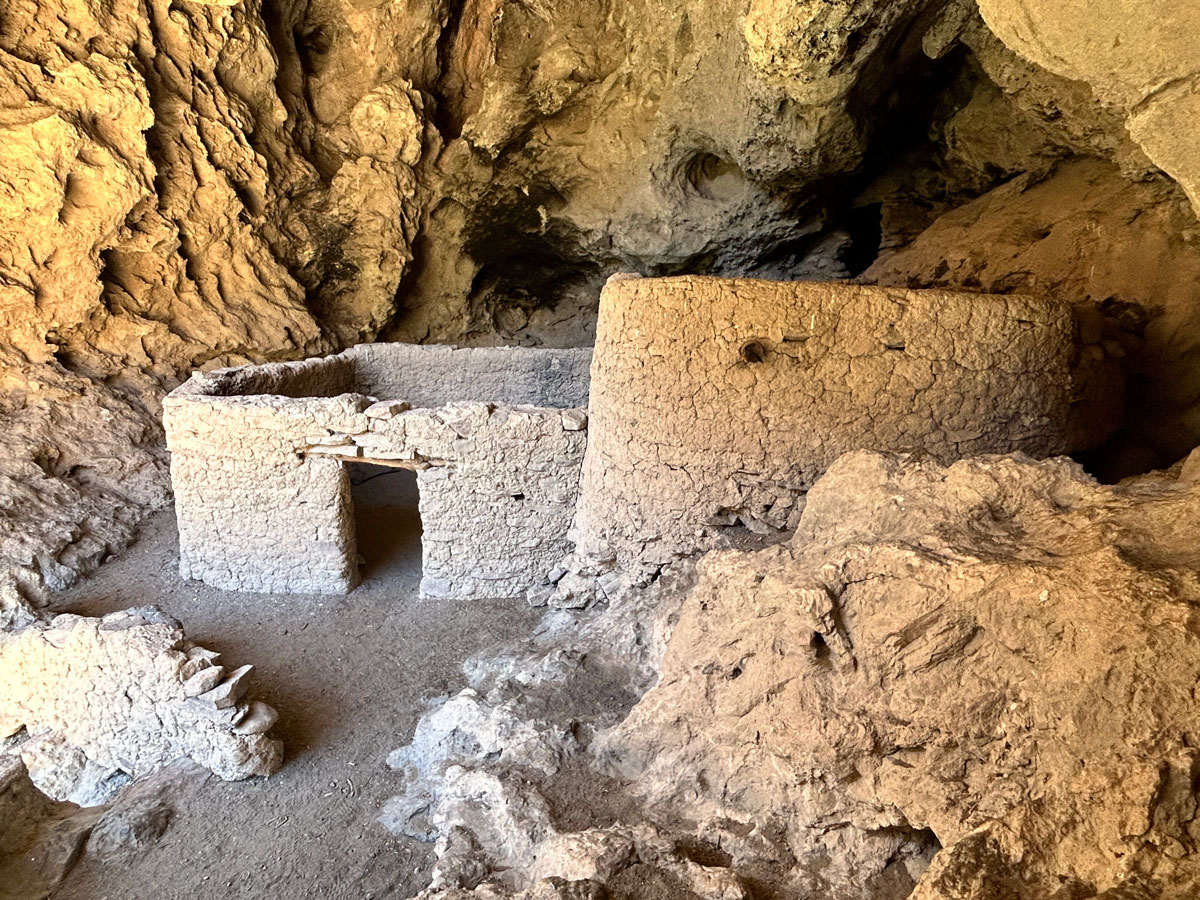
When the canyon makes a distinct turn to the left, you’ll know to look up on the canyon wall for the large cave that houses the ruins. You can spot it directly from the trail.
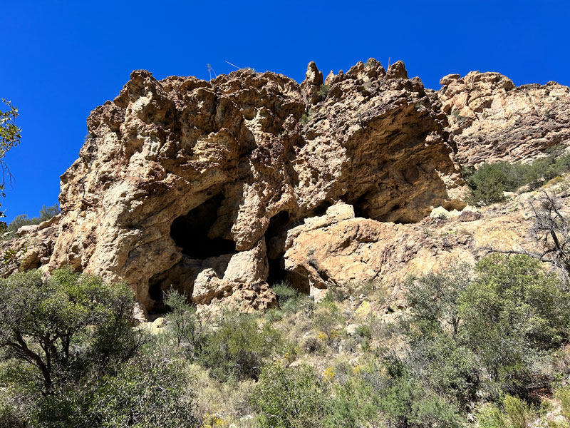
Look for a use trail off to the right that will take you up there. It’s a bit steep and loose. You’ll first arrive at the lower ruins, but they’re not the main attraction here. Between the caves is a place where you can climb up to the next level.
Rogers Canyon Ruins
The Rogers Canyon Ruins are truly spectacular, and you won’t help but exclaim, “WOW,” when you first lay eyes on them.
From here, simply retrace your steps.
Rogers Canyon and Reavis Ranch Loop
You weren’t planning on making a loop over to Reavis Ranch on the Frog Tanks Trail were you? Turn back now! You hear me? Cancel those plans immediately, go back to reconnect with the Reavis Ranch Trail, and take that to the ranch. It’s longer, but faster and far more pleasant. Don’t say I didn’t warn you.
I mean, unless you love legendary thickets of catclaw, evil agave plants, faint trails that you lose every few seconds, reallly slow and painful going, and not making it to your destination when you planned. If you love that, and you have plenty of food and water, and you’re prepared to dry camp on some random hill when the sun goes down before you get there, go for it.
Map & Directions
Location Superstition Wilderness, Apache Junction, Arizona
From Apache Junction, head east on US60 to Queen Valley Road and turn left. Then turn right on Forest Road 357. This road is dirt, but not too bad. After 3 miles, you’ll turn left onto Forest Road 172, where a sign marks the junction for Rogers Trough Trailhead. After 9.2 more miles, bear right onto Forest Road 172A, which becomes significantly more steep, sandy, and rutted. You will need a 4×4 high clearance vehicle to pass. Follow this road past the junction with Forest Road 650 to the trailhead.
Fees/Passes None
Trailhead Facilities None
Preview this Hike
Recommendations for you
Reavis Ranch | Superstition Wilderness
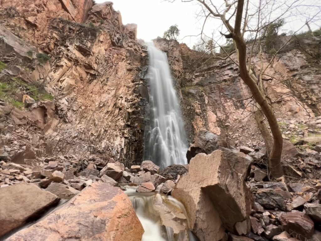
Reavis Falls | Superstition Wilderness
Charlebois Spring Loop | Superstition Wilderness
Leave a Reply