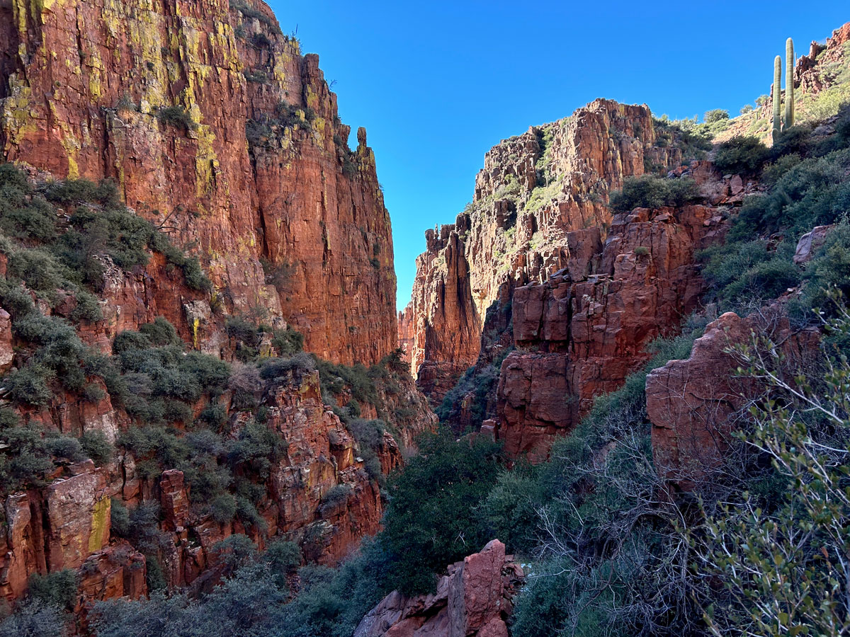
Hog Canyon
TRAIL STATS
Hog Canyon is a relatively easy and gorgeous descent into the red canyon walls of the Sierra Ancha Mountains that is especially nice when the waterfalls are running. A perfect choice for beginners who want a taste of canyoneering—if accompanied by an experienced canyoneer.
🪢 This is a technical canyon with 3-5 rappels up to 100 feet. You will need one 200 foot rope, plus all the required safety equipment for rappelling and knowledge how to use it. This guide is not intended to provide instruction on how to descend a technical canyon safely.
Trail Description
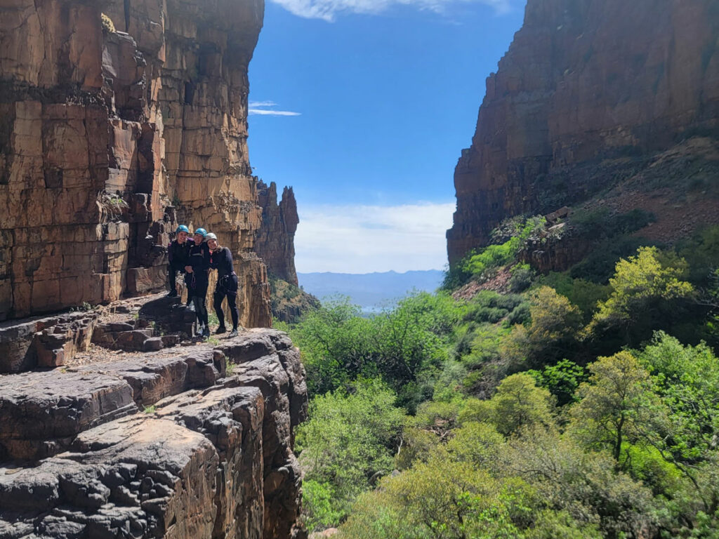
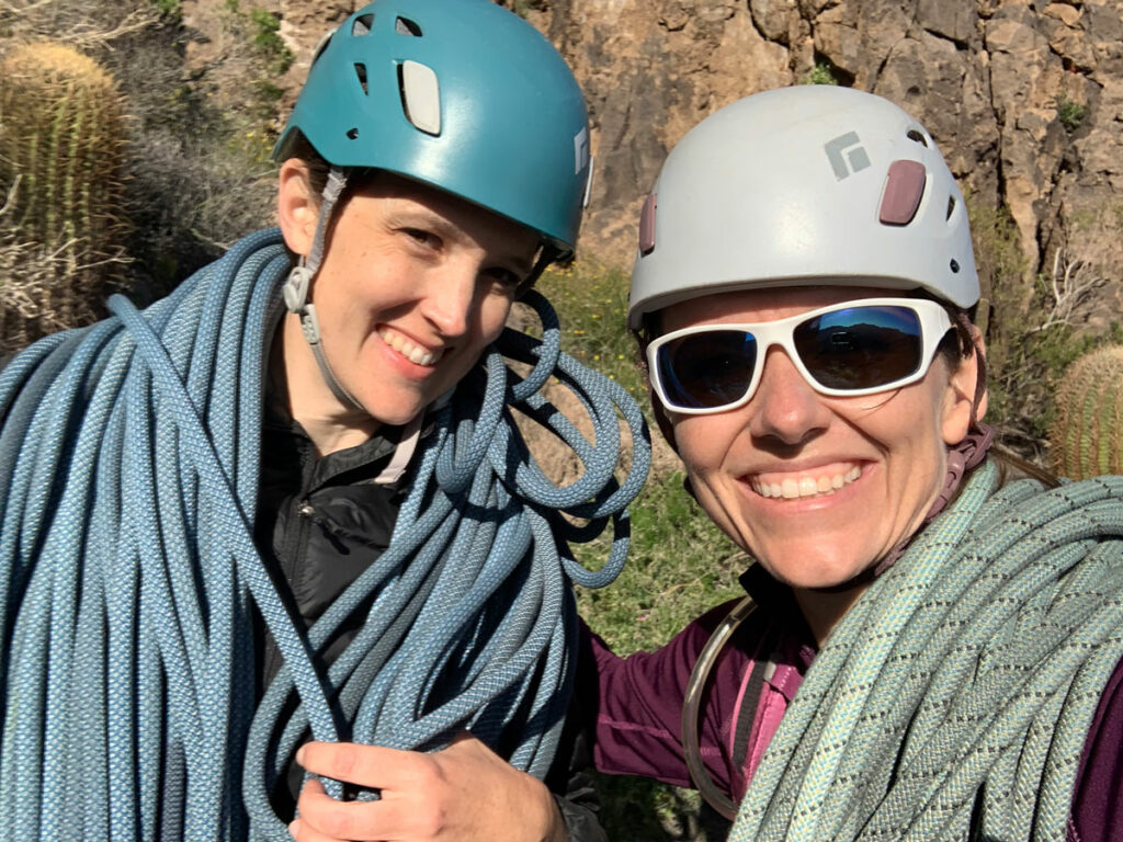
A trip to Hog Canyon is always a pretty chill experience, and it was one of the first technical canyons we ran. We have done it several times, and most recently took a group of ladies back there who hadn’t been before. We were a group of 5, ranging from experienced to one brand newbie. It’s a perfect place to take beginners and is very frequently guided by a few local guiding companies.
The entrance can be a little tricky to find, but if you pay close attention to your topo maps, you can see a direct path where the canyon drops in. We love the low entrance fee of this canyon—very little hiking or bushwhacking required to get in. The rappels and the fun begin almost immediately.
The Technical Section
Rappel 1
Rappel 1 is a short 30 feet off of a tree down canyon left. Very straightforward.
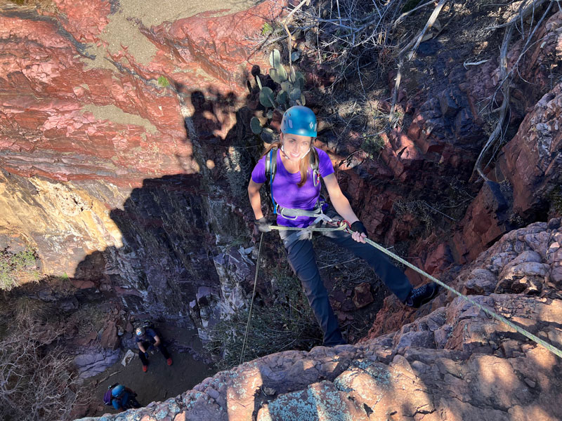
Rappel 2
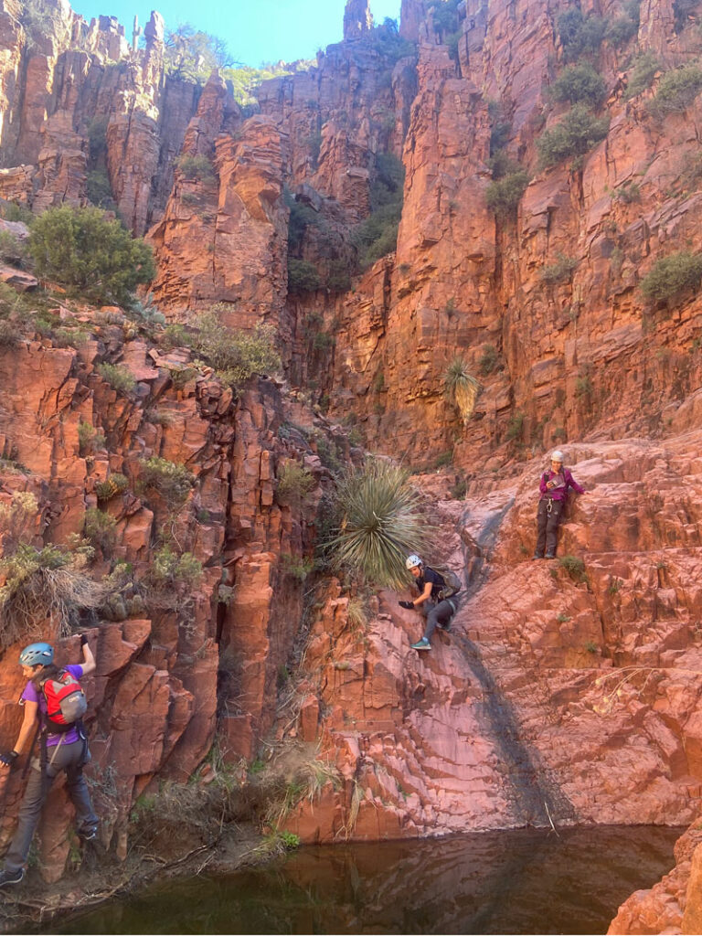
Rappel 2 is immediately following, anchored also on a tree down canyon left, and it is the big boy. It’s the longest rappel of the canyon, but a very easy start if you start down in the (usually dry) water course.
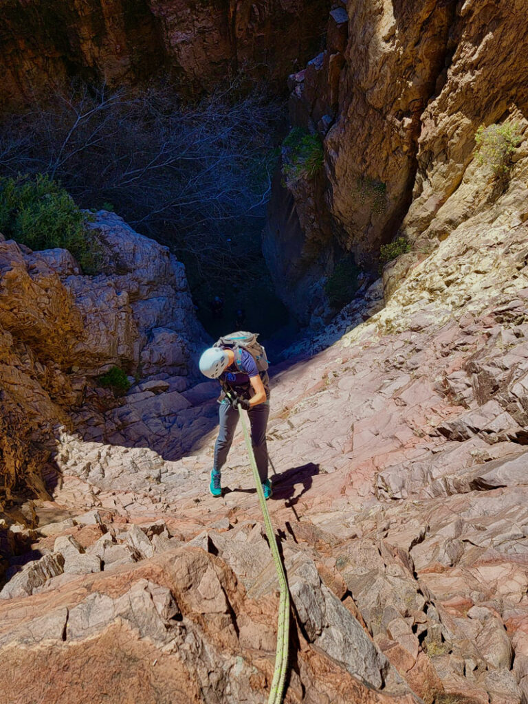
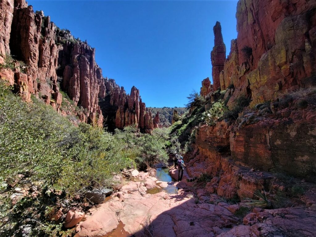
After the second rappel, we made our way down canyon with a minimal amount of downclimbing and scrambling. Nothing too challenging, but so beautiful!! Take a moment to look around at the red canyon walls, the pools of water, and maybe a blossoming cactus or succulent.
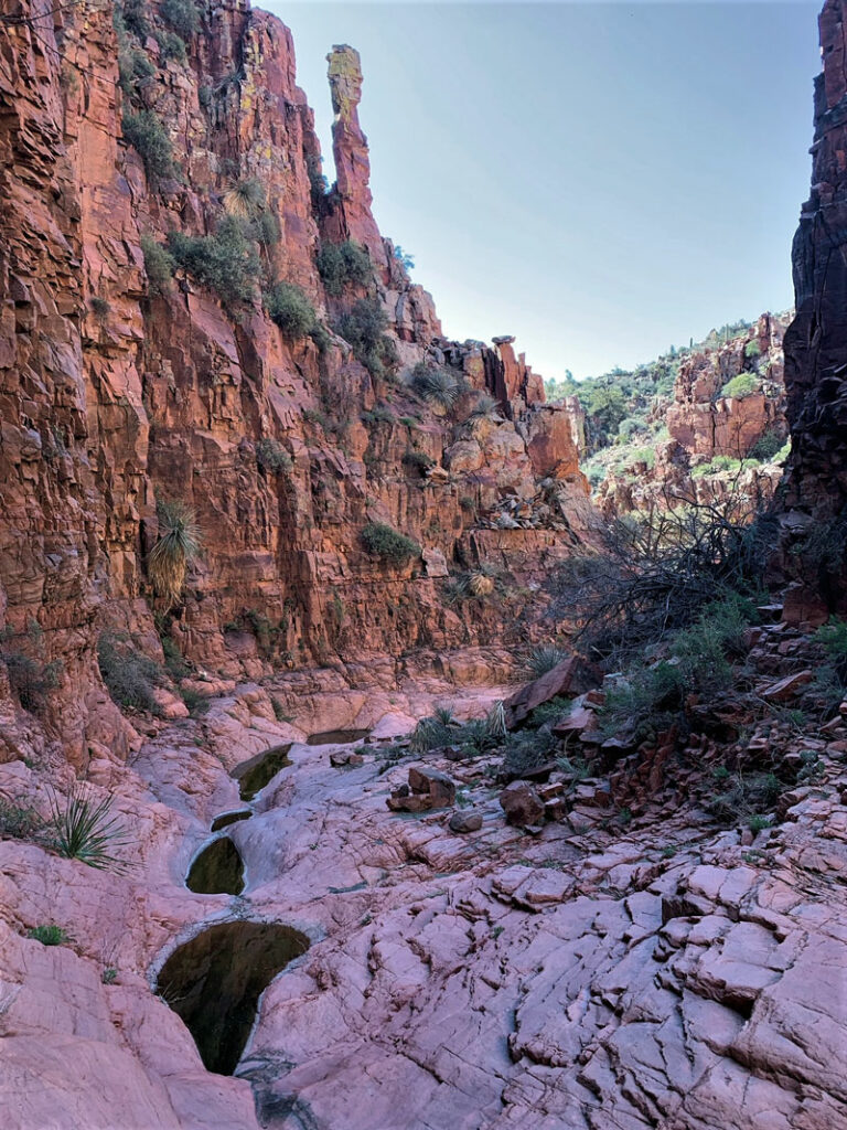
There are a few places where the canyon might be holding water where it might prove to be a little puzzle trying to keep your feet dry, but on almost every trip we’ve done, the water has been completely avoidable with a little effort.
Rappel 3
A possible rappel 3 will soon come into view, but there’s some usually pretty sketchy water at the bottom, so we climb up and around this down canyon right to stay above the fray. It’s an easy workaround.
Rappel 4
A possible rappel 4 shows up soon after that, and it’s anchored in a few weird places. There’s a bolt right in the water course, and there is also webbing wrapped around a tree left down canyon, making for a 25 or so foot rappel. If you want to add another rappel for fun or practice, go ahead and clip on in, but it is also super easy to just walk around it down canyon left. We’ve done it both ways. I let my 11-year-old lead this rappel (with a hollow block) just to give her some experience and practice. It’s perfect for that.
Rappel 5
Rappel 5 is just after that. It is bolted right at the top. It can be a tiny tricky on the start, but nothing too crazy. It’s about 40 feet.
The Exit
Immediately after this rappel, you’ll find your exit out of the canyon via the drainage on the left. It is short, minimal bushes, and some really fun and interesting climbs! There is one spot worth mentioning that I refer to as “The Wall.” It’s probably about 15 feet of class 4-5 scrambling up, and the one non-beginner maneuver of the canyon.
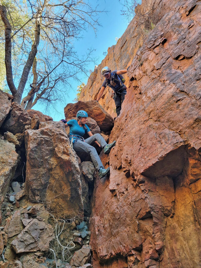
On one side of the wall you will see a giant chokestone at the top with a severe undercut underneath. On the other side, you will see a wall with lots and lots of seemingly amazing hand and foot holds. Trust me when I say, you want to maneuver the chokestone side. The other side is the most crumbly rock you will ever encounter. Even the slightest tug or weight on some of them makes those rocks completely crumble away. So my advice? Walk under the chokestone, turn around, and start making your way backwards up and over the chokestone in a chimney fashion. There are lots of great places for hands and feet that keep it from feeling TOO sketchy. This seems to be the preferred method. We have done this all the ways. Climbing both sides, up the middle, sending one person up to meat anchor the rest, and spotting the climb from the bottom. It can definitely feel a little tricky for newbies.
After making your way up a few more climbs, you will come to yet another wall. This one is your sign to take a sharp right, make your way out of the canyon on a lightly travelled trail, and make your way back to the road/parking.
Map & Directions
Location Sierra Ancha Mountains, Tonto National Forest, Globe, Arizona
Take US60 to Globe. Turn left on Hwy 188 toward Roosevelt Lake, then right on Hwy 288 toward Young. After about 16 miles, there’s a dirt road on the left that will be close to your exit. You can park here, or there are a few more pullouts to park in between this road and the entrance to the canyon. It’s not of great importance, it just depends on whether you’d rather walk the road on the way in or the way out.
Trailhead Facilities None

Leave a Reply