Ma Ha Tuak and Gila Ridgelines Loop
TRAIL STATS
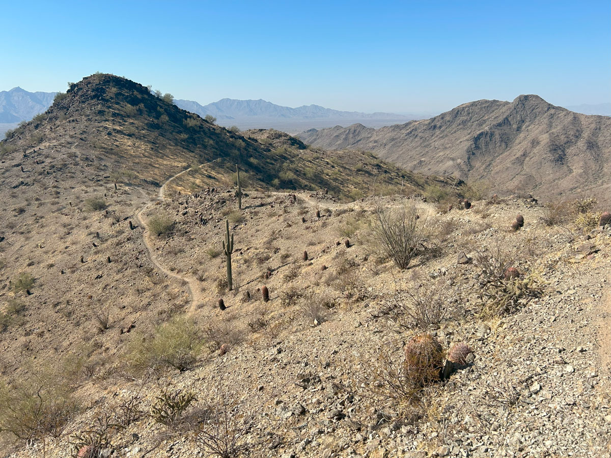
South Mountain is made up of three mountain ranges, and this hike takes you on a loop across the Ma Ha Tuak and Gila ranges. The scenery is mostly your standard desert fare, but if you love great views all day and feeling like you’re on top of the world, this hike is for you. Along the way, you’ll visit the San Juan Lookout and see evidence of several mines from ages past.
Trail Description
South Mountain is not the most interesting place to hike in the Phoenix metro area, but there’s no denying it’s very convenient. Located just south of the city, it has miles of sprawling desert terrain with three mountain ranges and over 50 miles of trails. Each of the mountain ranges has a trail along the ridgeline, which gives you plenty of options if you’re a fan of 360-degree views. This hike will take you across the ridgelines of the Ma Ha Tuak and Gila ranges on the western end of the park. You can do this loop in either direction, but we went clockwise, so the rest of this guide will describe the hike in that direction.
Curtis Saddle Trailhead
Although this is marked as a trailhead, it is nothing more than a dirt road with pullouts for vehicles. Alternatively, you could enter South Mountain Park from Central Avenue and take San Juan Road to the San Juan Lookout and park there. This will save you a little bit of hiking, but that trailhead is only open the first Saturday and Sunday of the month. By going to the Curtis Saddle Trailhead, we could take Loop 202 most of the way, and if you’ve ever driven down Baseline in traffic, you know this is the superior option. Both options are shown on our map at the end of the post.
From the parking area, you’ll start out on an obvious trail that heads toward the mountain.
San Juan Lookout
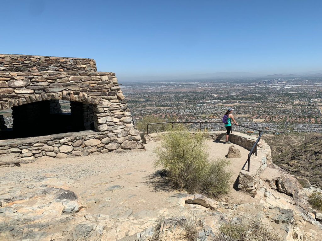
Just before you reach half a mile, you’ll arrive at the San Juan Lookout where you can take a “before” shot while you’re still energized and happy.
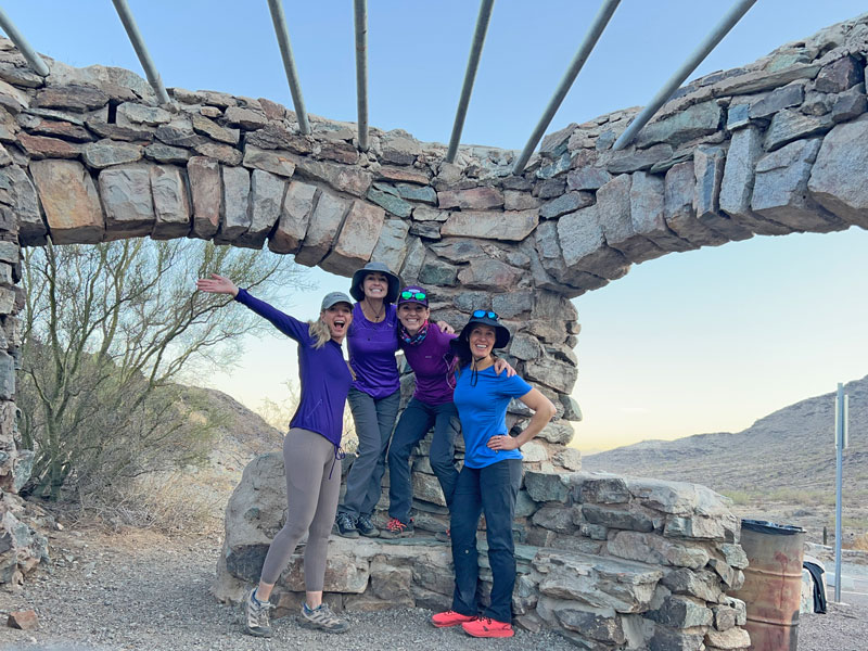
At this point, your friends who didn’t plan the trip will be asking, “Why didn’t we just park here?” Yeah, yeah, yeah. Hush. Unless it’s the first Saturday or Sunday of the month, you’re out of luck.
Alta Trail
From there, you’ll head up the north side of the mountain to the Ma Ha Tuak ridgeline on the Alta Trail. The scenery isn’t much to look at, but very soon you’ll start to have views.
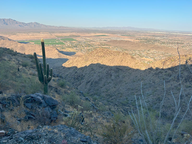
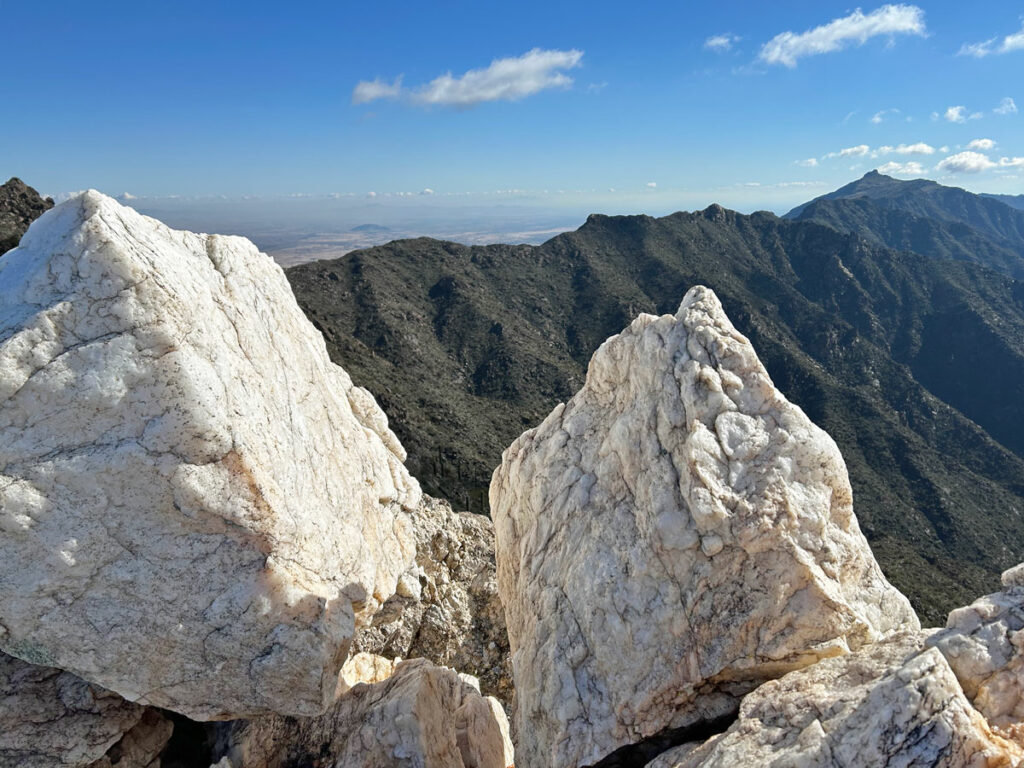
Once on the ridgeline, you’ll get nice views on both sides of the mountain with the Sierra Estrella Mountains in the distance.
At this point, you’d think all you need to do now is follow the ridgeline, but the trail actually drops down on the north side for a little while, and you’ll be wondering why in the world you’re going down. Don’t you worry, you’ll be climbing back up soon enough and have another 300 feet of elevation gain under your belt when you do.
Plus, views of the ridgeline ahead and the familiar cluster of antennas watching over the city of Phoenix in the distance.
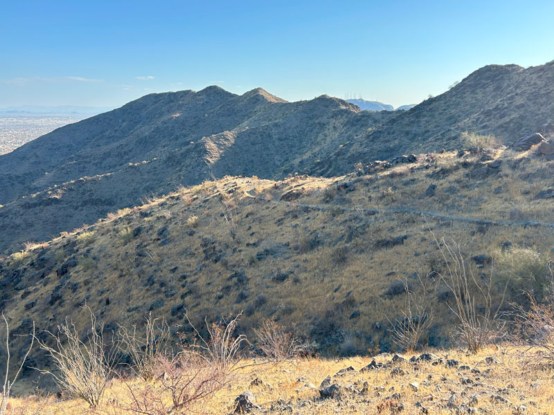
About 2/3 of the way across the Ma Ha Tuak Range, the Alta Trail turns right and starts going down. This is a good option if you want to shorten the hike and loop back to your car on the Bajada Trail. But you’re no quitter, right? That’s what I thought.
Hua’Pal Trail
Keep left to continue on the ridgeline on the Hua’Pal Trail. The remainder of the ridgeline spreads out beautifully before you.
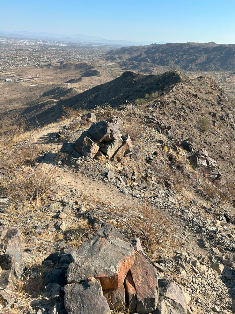
Okay, fair warning, the trail names and junctions are about to come rapid fire. You don’t have to memorize this if you have GPS with you.
Ma Ha Tuak Trail
Soon, you’ll drop down into the valley and the trail will end at the junction with the Ma Ha Tuak Trail. Turn right and follow this half a mile until you cross a road. Again, you’ll have the option of going straight back to your car from here on the Bajada Trail.
Derby Loop Trail
Once you cross the road, you’ll be on the Derby Loop Trail for another half mile.
Ranger Trail
At the next junction, turn right onto the Ranger Trail, which will take you all the way up to the ridgeline of the Gila Range. This is a great spot for lunch as long as you try not to sit by the dog vomit. Yeah, that happened. Glad I was finished with my sandwich when I noticed.
National Trail
At this point, you’ll be at the junction with the National Trail, which you will follow to the right. If you love ridgelines like we do, be sure to do the South Mountain Ridgeline hike, which follows the National Trail along the entire ridgeline of the Gila and Guadalupe ranges.
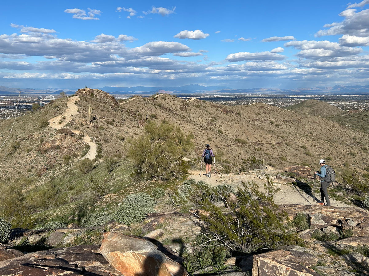
This trail has lots of little ups and downs as you follow the ridgeline. Sometimes the trail will skirt the peaks, sometimes it will require you to use your hands to get over a rocky peak, and sometimes you’ll have a couple options.
Across the way, you can see the Ma Ha Tuak range that you traversed earlier.
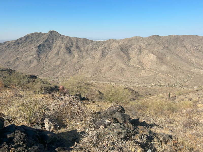
There are also several mines along this trail, one of which is large enough to go inside a short distance. Mind thy noggin.
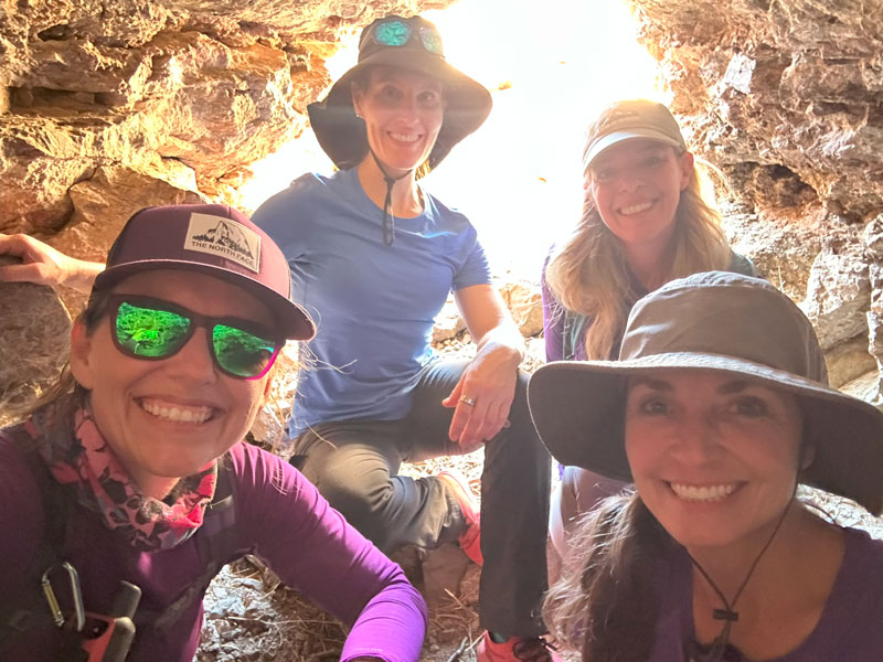
I mean, it’s a desert, and you’re on a ridgeline. The shade might be a nice little escape.
Keep following the National Trail until it drops you back down into the valley where it will bend to the right to head back toward the San Juan Lookout. Right about now, your legs are tired, the trail is boring, and you’re ready for this to end. Your GPS will only confirm what you feared was true but were hoping wasn’t—you still have 2.5 miles left.
The good news is it’s pretty flat and the going is fast.
Map & Directions
Location South Mountain Park, Phoenix, Arizona
Google Maps Curtis Saddle Trailhead
Fees/Passes None
Trailhead Facilities None

Leave a Reply