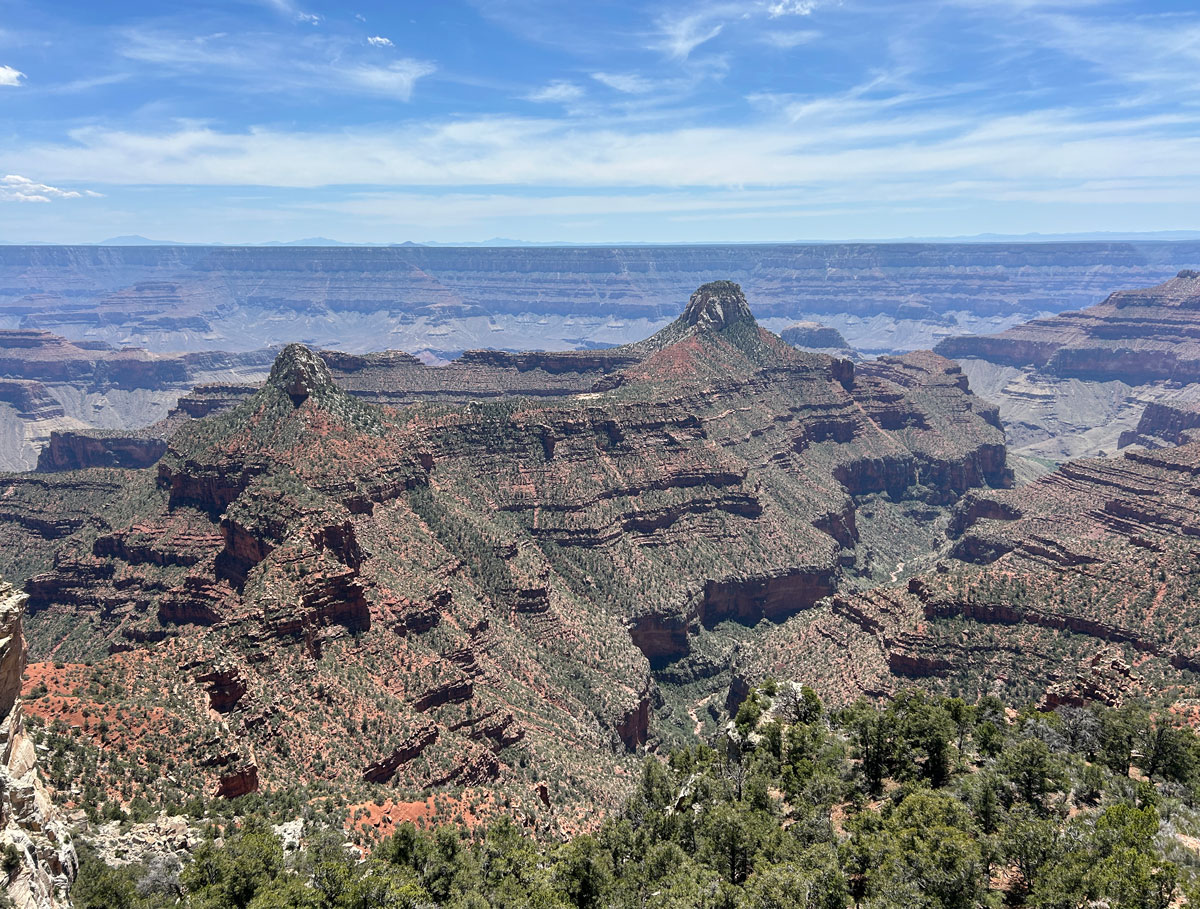
Widforss Point
TRAIL STATS
See the Grand Canyon from a new perspective on this moderate trail to Widforss Point. The first part of the trail traces the edge of the North Rim, giving you excellent views along the way even if you don’t make it to the end. Keep going through a beautiful ponderosa forest, the canyon will come back into view in all its glory. Adventurous types can explore a little farther.
Trail Description
Okay, first off, just because this trail doesn’t drop into the canyon doesn’t mean it’s flat. My sales pitch to my hiking companion was straight up false advertising. “I think you’re lying.” Well, that’s a strong word. I made an assumption, okay?
But you won’t because you learn from my mistakes. The hike is worth it anyway, but just be mentally prepared for a little elevation. Not a lot, but not flat.
Widforss Point Trail
The trail starts out in a ponderosa forest and steadily climbs up from the parking area onto the rim. At first, it’s hard to believe there’s a giant hole around here somewhere, but pretty soon you’ll start getting glimpses.
Be still, my heart!
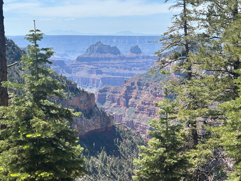
There are several points where you can leave the trail to get a better look along little spur trails that others have used before. At one point, you’ll see an obvious fork away from the main trail, and you won’t be able to resist following it for fear of missing out. This spur trail was so well-worn that we said to ourselves, “Billions of tourists can’t be wrong.”
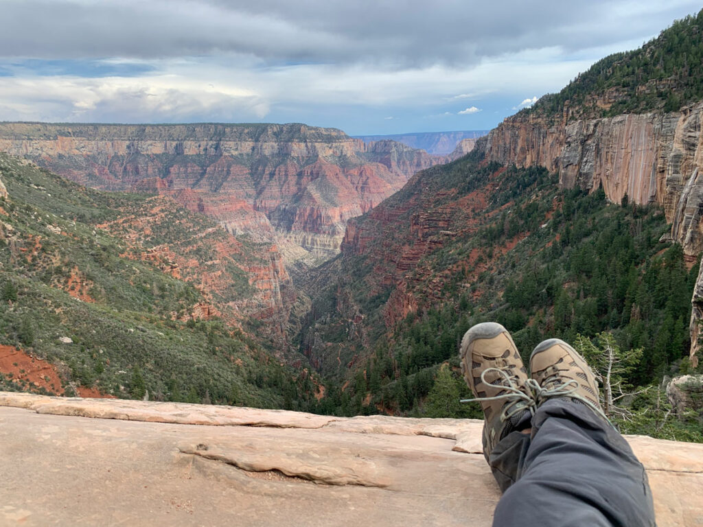
Well, they’re sort of wrong. You can’t see much from there, so it was a bit of a disappointment, but we followed a faint trail even farther out to a cool platform that jutted out from the edge. It’s too much effort for the average person, but if you’re feeling a bit adventurous, check it out! I marked it as platform 1 on the map.
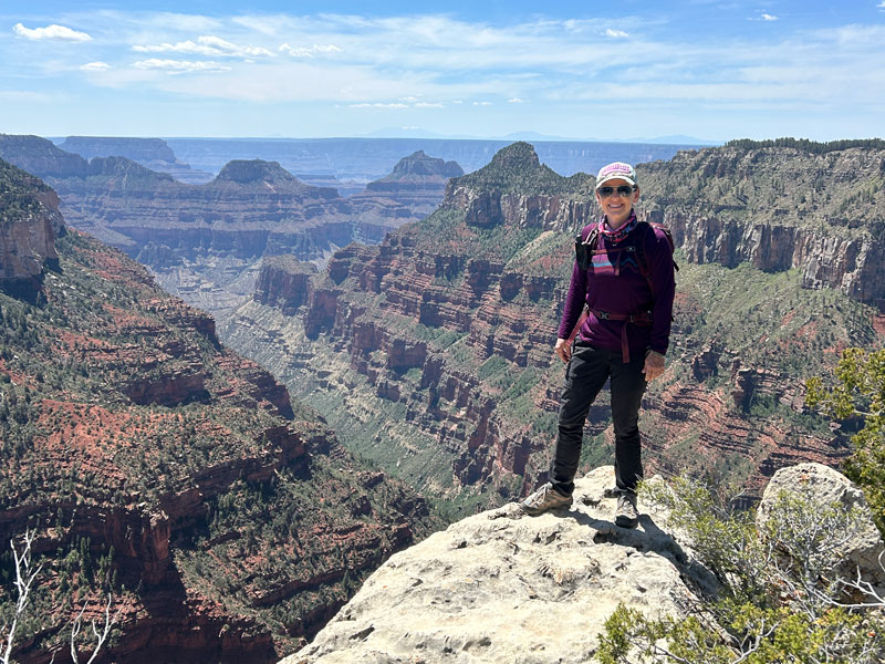
Back on the main trail, the views keep coming. You’ll drop down into a few drainages along the way, only to come back up for more views. Does it ever get old?
Um, no.
You’ll see more of those limestone platforms jutting into the canyon, but your hiking buddies probably won’t appreciate you trying to check out all of them. There was a really cool, skinny one that was tempting, but way too sketchy. I never want anyone to say of me, “She died doing what she loved.”
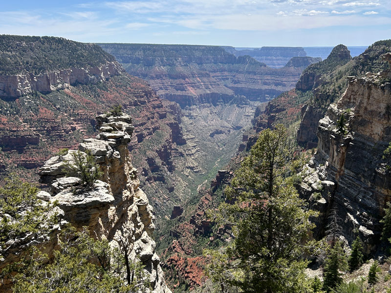
Eventually the comes down off the rim and enters an idyllic forest, complete with shimmering aspens, delightful bird songs, and scattered pinecones. Heavenly.
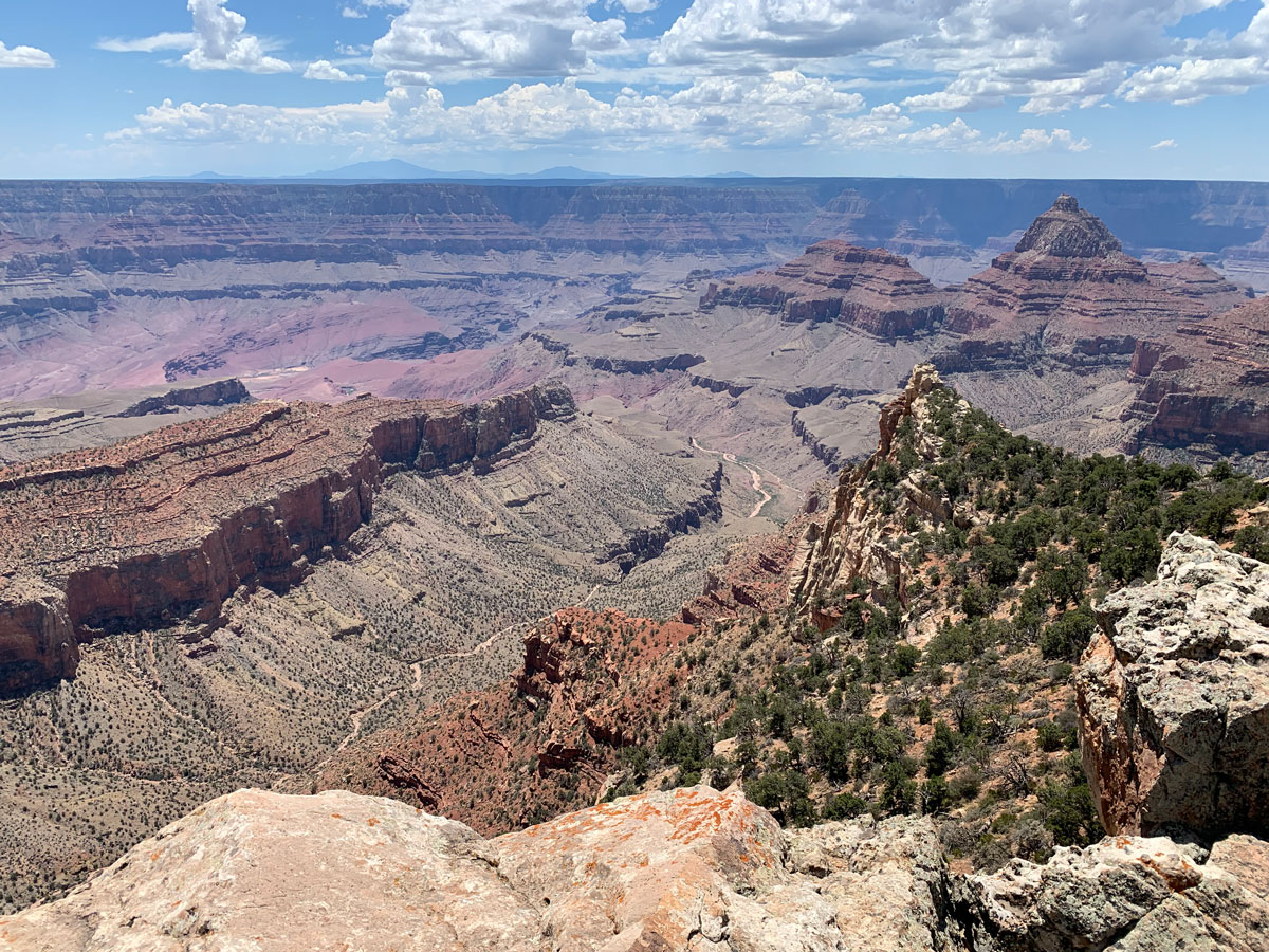
The elevation profile shows the trail going up and then down to Widforss Point, but it’s so gradual that I hardly noticed. At the very end of the trail, the Grand Canyon once again bursts into view.
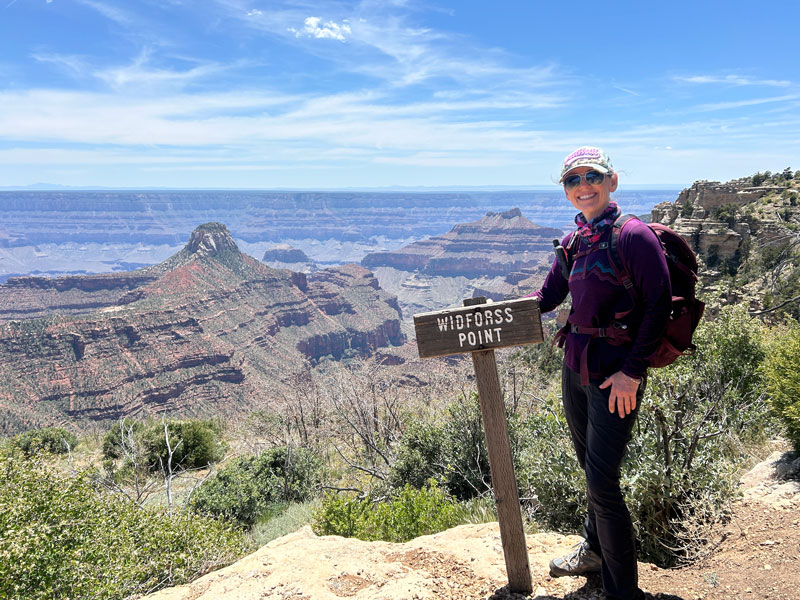
There are a few trees that make a nice shady spot for lunch.
The only problem with this viewpoint is that there’s another tier just below you that you can’t help but think is blocking your view a bit. Fortunately, there’s a small trail you can use to get out to a rocky terrace with a slightly better view. I marked this spot as Platform 2 on the map.
If you choose that option, it’s probable that your hiking buddies gave up on you a long time ago, and you’re on your own for this. So, instead of an epic picture, you’ll have to recruit a dead tree branch to be your tripod for a selfie.
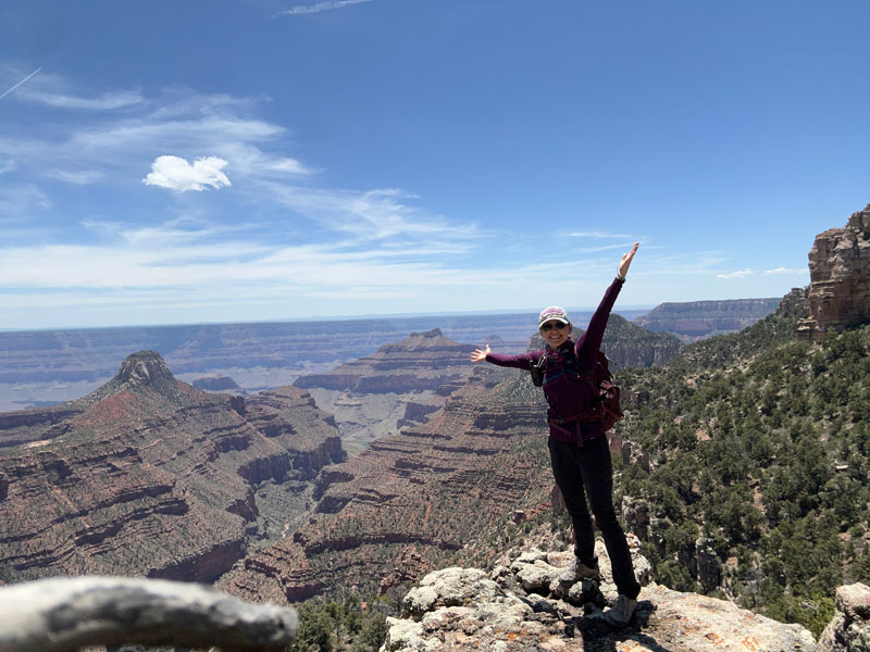
But hey, you’re at the Grand Canyon enjoying a little viewpoint all by yourself, and that’s pretty cool.
Map & Directions
Location North Rim, Grand Canyon National Park, Arizona
Google Maps Widforss Trailhead Parking Lot
Fees/Passes Grand Canyon charges a fee to enter, or you can use your America the Beautiful pass
Trailhead Facilities Pit toilets

Leave a Reply