
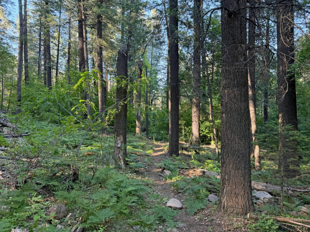
West Webber Trail
TRAIL STATS
Yes, Arizona does have fairytale forests, and a hike along West Webber Trail is proof. Lose yourself among the towering ponderosa pines, a trickling stream, butterflies, maples, columbine wildflowers, and blackberry bushes. You can hike this trail in either direction, starting from Geronimo Trailhead below the rim or the West Webber Trailhead on the rim. Either way, it’s worthwhile to make a stop at a viewpoint on the edge of the rim for grand views into the valley below.
Trail Description
Yeah, you heard me right! This trail has everything a magical forest should have, but getting to the good part takes some effort. You have two options:
Starting at the top The shortest way would be to start at the West Webber Trailhead on the rim and work your way down, but this requires a longer drive and includes dirt roads. We did not go this route, so we aren’t sure the road condition, but the part we did see at the trailhead looked like it was suitable for any high clearance vehicle when roads are dry.
Starting at the bottom The longer way starts below the rim at Geronimo Trailhead and also requires driving a few miles on a dirt road, but we drove this road in our tiny Chevy Bolt, and we had no problem. The bummer here is you have to hike several miles in a more desert-like forest before you really get to the best part.
Since we started at the bottom, this guide will describe the hike in that direction.
Geronimo Trailhead
When you get to the Geronimo Trailhead, you’ll see a big sign with a register. It seems like the obvious start, but surprise, you’re not going that way! Instead, cross the road and find where the Highline Trail #31/Arizona Trail continues on that side.
Highline Trail #31
This part of the Highline Trail also happens to be part of the Arizona Trail, so you will see signs for that. Immediately, you’ll make your first creek crossing, hopping on rocks across West Webber Creek.
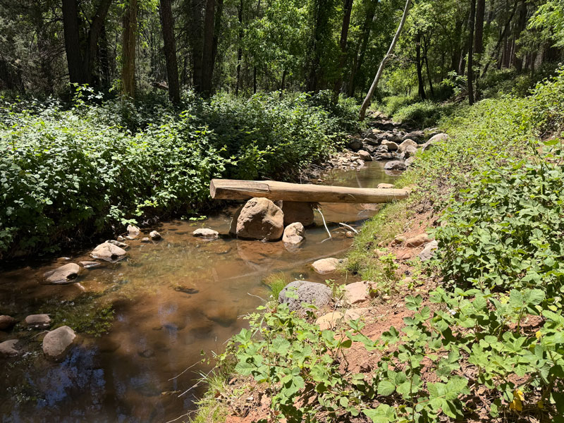
I know you just started, but stop and enjoy it at least a little because you won’t see a creek again for a while. After 4/10ths of a mile, turn right onto Geronimo Trail.
Geronimo Trail
The whole reason for hiking Geronimo Trail is to skirt around Camp Geronimo, which is private property, and that means this trail is just a means to an end. Although it does have some pretty scenery, Geronimo Trail looks suspiciously like an old dirt road, making it less than the ideal hiking trail.
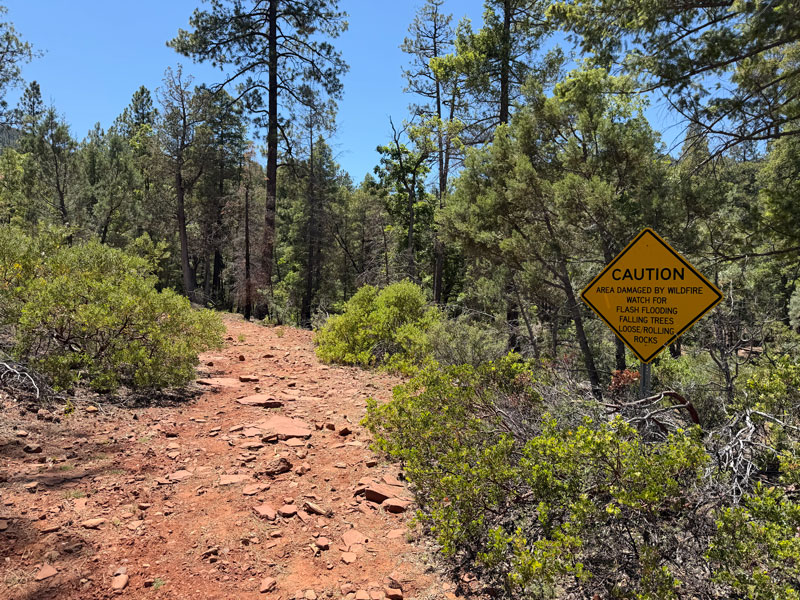
Shortly after you pass by a gate that leads into Camp Geronimo, you’ll come to a junction. The signs were confusing to me because one pointed toward West Webber Trail with a distance of 1.3 miles, and the other pointed toward Turkey Spring. I knew I was hiking West Webber Trail, and I also knew I wasn’t going to Turkey Spring, so without checking the map, I took the left fork toward Webber Trail.
Wrong.
This seemed like a fine trail for a while, but soon it got hard to follow, and that’s when I finally checked the map. Whatever “trail” I was on was not on my topographical map, so we ended up going cross-country to reconnect with Geronimo Trail. So, unless you want to step in a cow pie, cross piles of driftwood, and head up a stupid steep hill, just stay on Geronimo Trail.
Note that farther up, we did see what was probably the other end of that trail, labeled Milk Ranch Point West, so it could work for people who know what they’re doing. We didn’t.
West Webber Trail
If you stay on Geronimo Trail toward Turkey Spring, you’ll soon come to another junction. This time, you want to stay left onto West Webber Trail.
Now beyond the private camp, the beautiful scenery begins to intensify. Less than a quarter mile past the junction, the sheer numbers of fallen maple leaves from a past season caused me to stop and mark the start of the “magical forest.” I want to come back in fall when I know this trail will be popping with color!
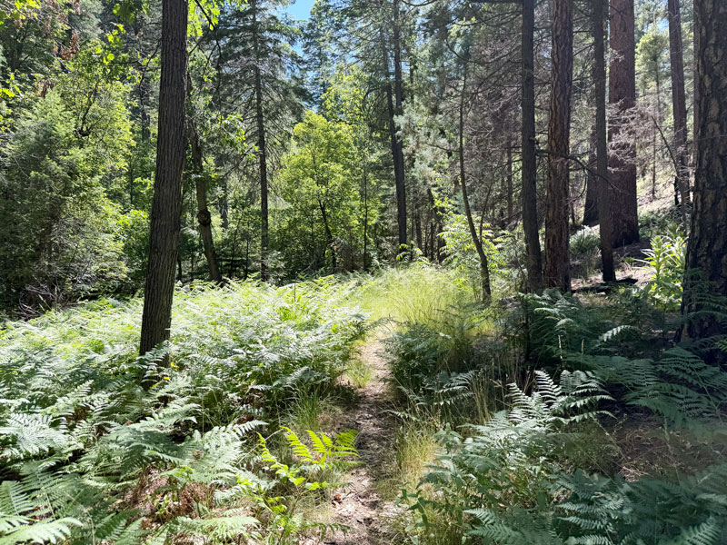
The next mile or so is a continuous bath in forest bliss. You have ferns at your feet, towering trees overhead, songbirds and a trickling creek to delight your ears, pops of color with the wildflowers, and just an overwhelming sense of well-being. Welcome to heaven.
But, you know, those switchbacks are coming. While the trail up to this point has been gradually trending uphill, the next section is gonna blow “gradually” to smithereens. You’ll soon be switching back like nobody’s business.
Mogollon Rim
The good part about all those switchbacks is you’ll begin to notice lofty views as you gaze out toward the valley. Near the top, it begins to flatten out more as you approach the road. If your car is at Geronimo Trailhead, don’t bother going all the way to the road unless you have another destination in mind. Instead, you can follow my track over to a nice viewpoint on the rim since there aren’t any great viewpoints along the trail.
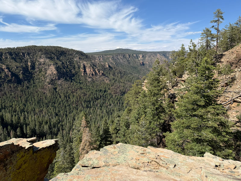
Now, take a load off and enjoy the view. It’s so nice up there that you won’t want to leave, and you’ll probably dream of hitching a ride back down instead of hiking just so you can stay a little longer. But, alas, at least you’ll get to bathe in that glorious forest bliss one more time on the way back.
Map & Directions
Location Tonto National Forest, Payson, Arizona
From Payson, take 87 North to Fire Control Road/Forest Service Road 64 and turn right. After 5.5 miles, turn left onto Forest Road 440 and drive 1.6 miles until you see the sign for Geronimo Trailhead. There is room for several cars. This road is bumpy, but shouldn’t pose any problem for passenger cars. You can also try searching for Camp Geronimo on Google Maps, which will take you in the right direction. The camp is just a little farther down the same road. Do NOT search for Geronimo Trailhead because there is another trailhead by the same name at South Mountain, but it’s definitely not as magical.
Fees/Passes None
Trailhead Facilities None
Recommendations for you
Drew Trail | Payson
See Canyon | Payson
Horton Creek | Payson
Leave a Reply