Horton Creek and Springs
TRAIL STATS
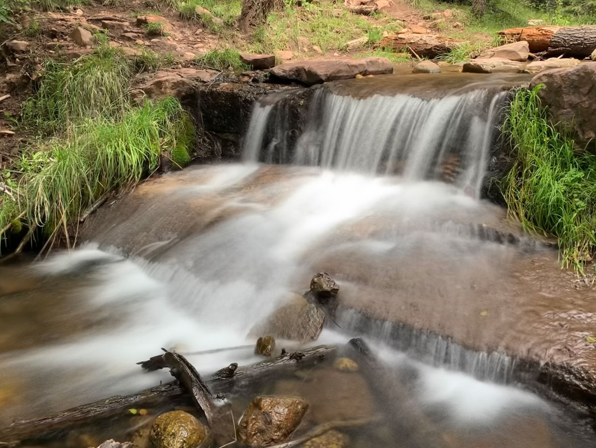
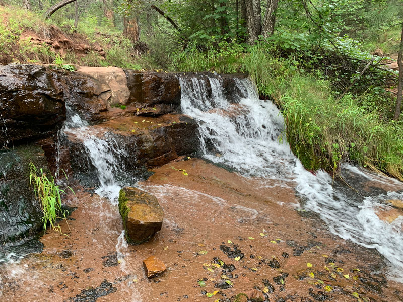
Horton Creek is pretty perennial creek that makes its way from Horton Springs at the base of the Mogollon Rim down a lush forested canyon. The water here never gets deep enough for a swim, but there are many places along the trail to soak your feet and enjoy the cascades. Camping is usually allowed along its banks, and the grade of the trail up until the springs is fairly gentle, making it a great family-friendly backpacking trip as well. If you are up for more of a challenge, you can also hike to the top of the rim to enjoy stunning vistas.
Trail Description
When you approach the trailhead, you should see a big sign right before a bridge over the creek that says “Parking for Horton.” Cross the bridge and find the main parking lot on the left.
In that parking lot by the bathrooms is a sign for Horton Creek Trailhead, and there’s a mostly useless map showing where you are. I went down that trail a bit, but it wasn’t marked on my topographical map, and it seemed to be leading the wrong direction, so I turned around and headed back. On the other side of the parking lot across the road is another sign pointing to the trailhead, and that was going in the direction I expected. I must admit, I’m still confused, but my advice is to get on the road and cross back over the bridge. Then turn left and follow the road toward the campground, where you’ll find another sign marking the trailhead. Say what?
Horton Creek Trail no. 285
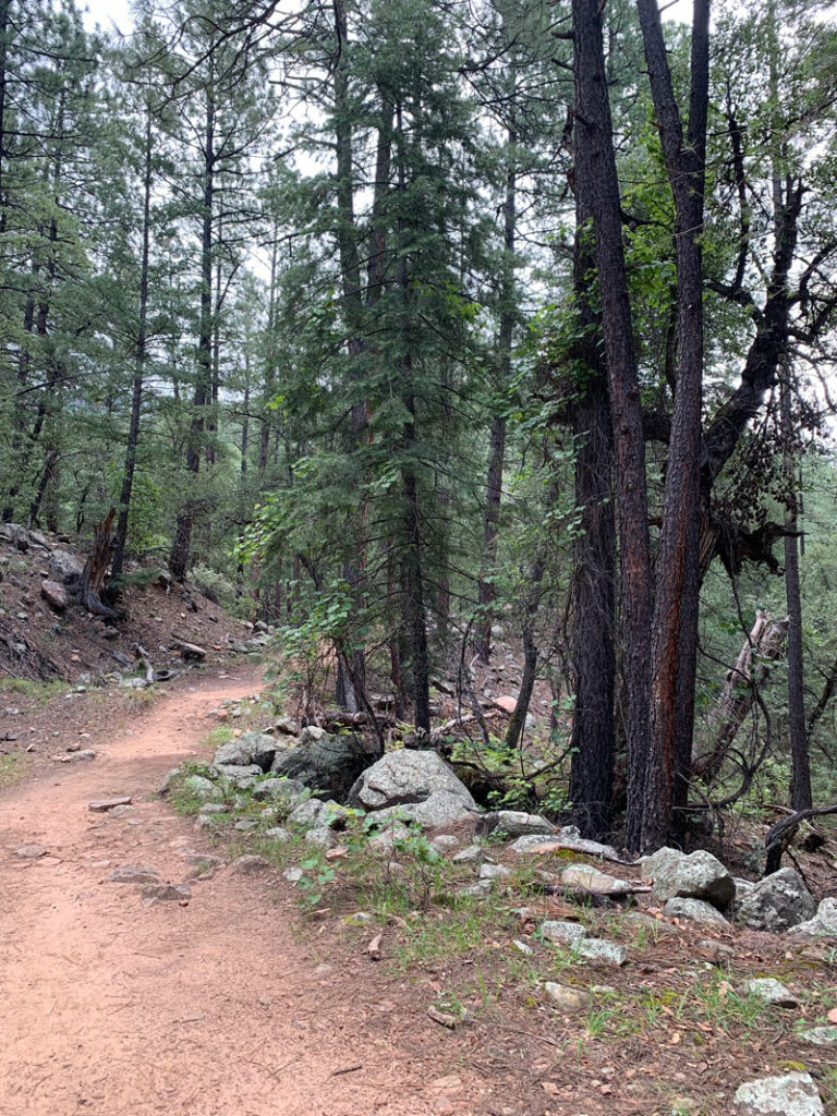
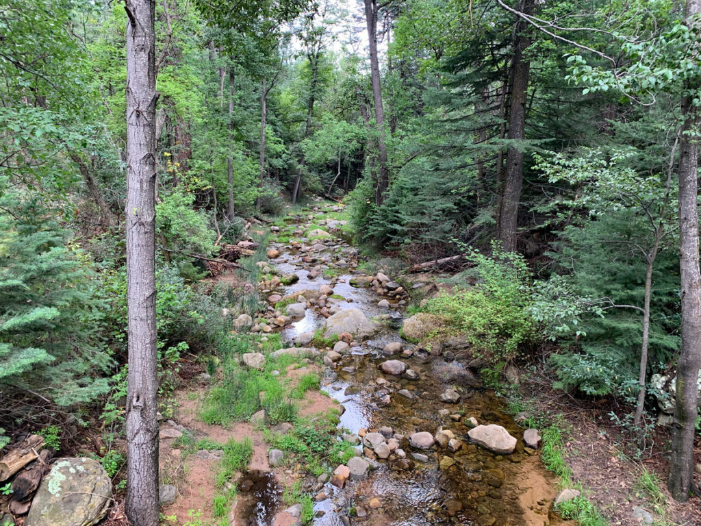
The trail starts as what appears to be an old road, as it makes its way along the creek. Sometimes the trail narrows and looks more like a foot path, but much of the time, it’s fairly wide and very easy to follow.
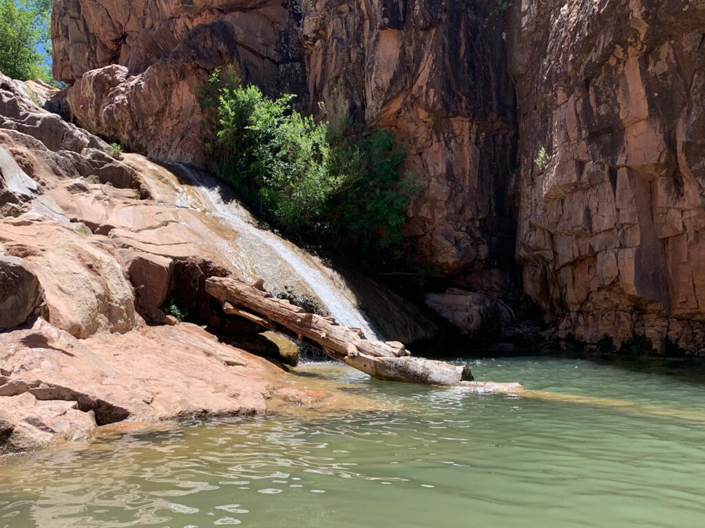
Despite recent rain, the water didn’t seem to be flowing at the beginning, but as you make your way farther down the trail, you’ll begin to hear the refreshing sounds of running water. Just find a spur trail that looks interesting, and let your curious self explore. You never know what you’ll find.
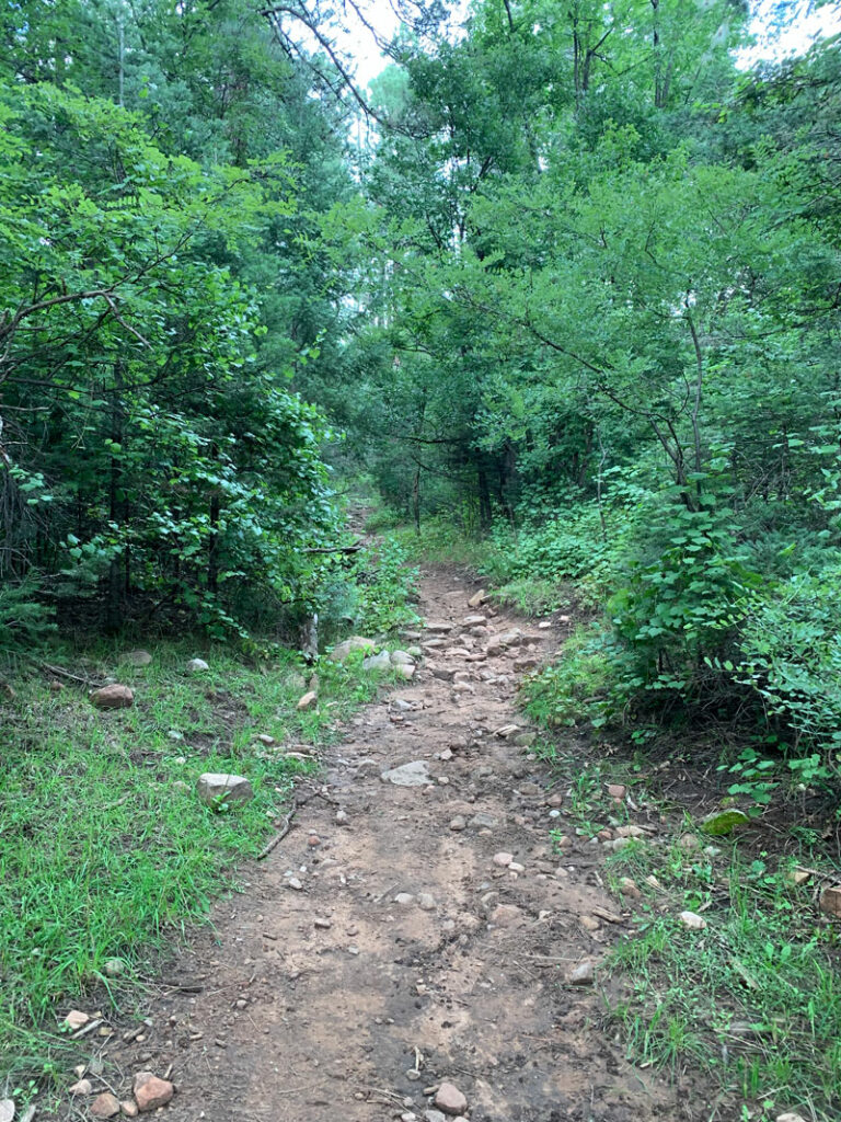
As you get closer to Horton Springs, the foliage starts getting more thick and intense.
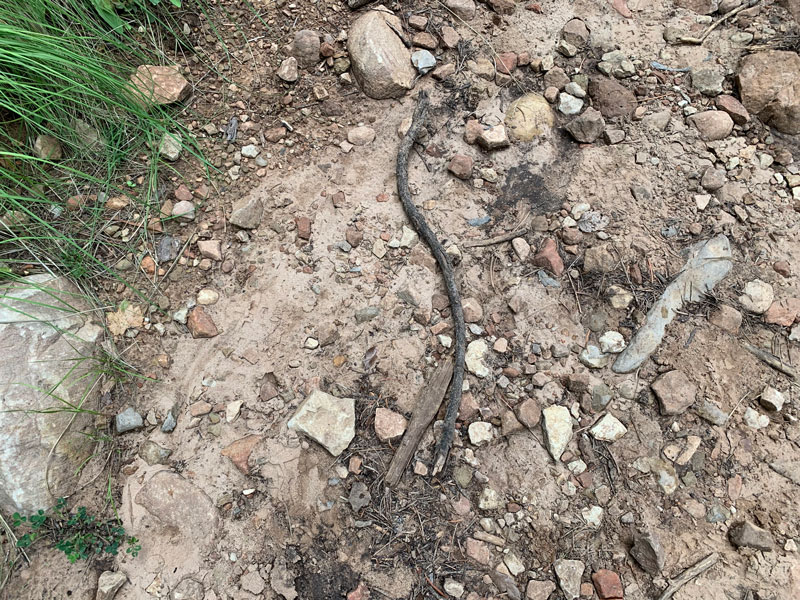
I didn’t want to have to say the “s” word, but while I was lost in my thoughts, I suddenly came upon a little snake. It was not a rattler, but it startled me just the same. And then once I was on edge, this stick startled me, too.
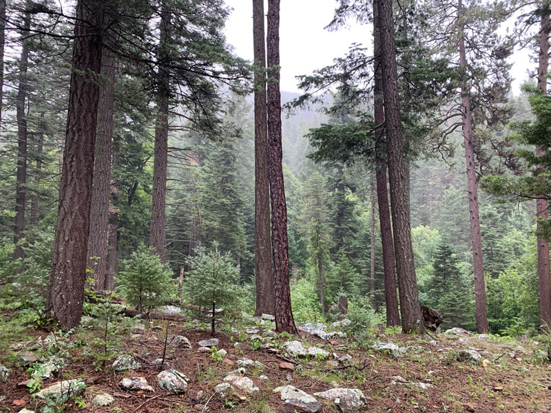
A storm rolled in as I was approaching Horton Springs and rained and hailed on me, but it was okay because look at this beautiful picture of the forest with mist!
Horton Springs
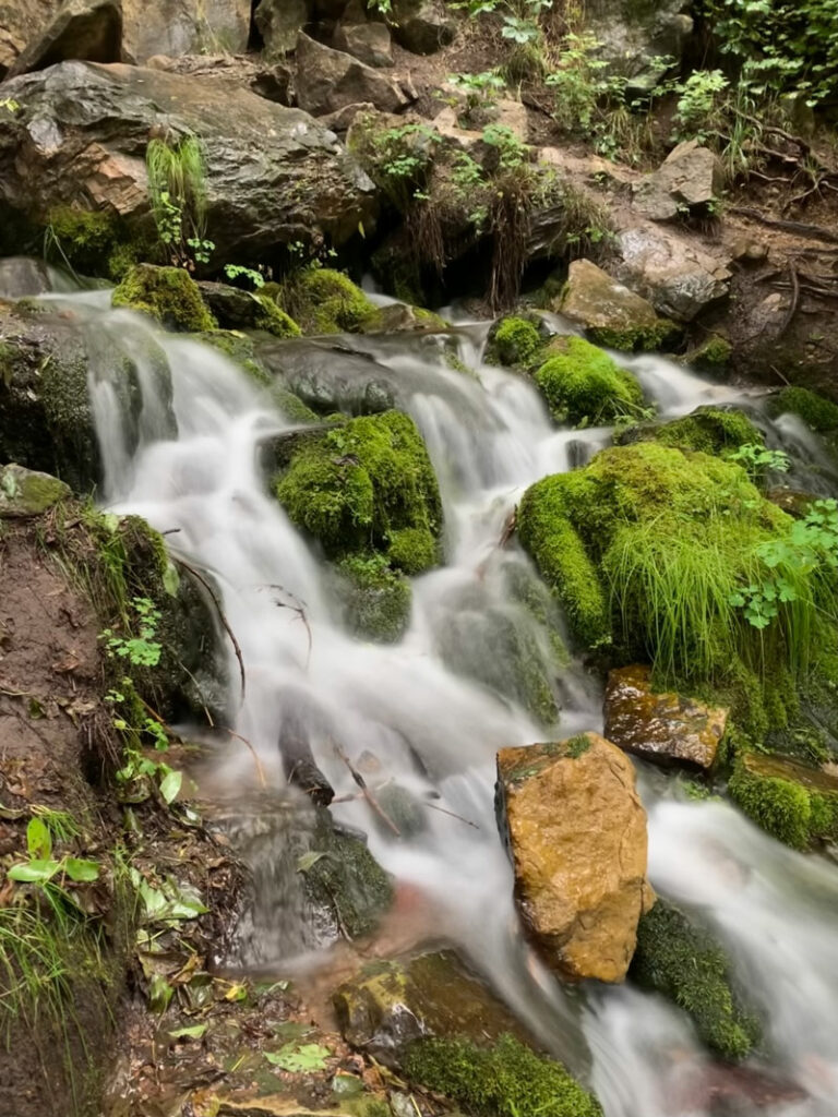
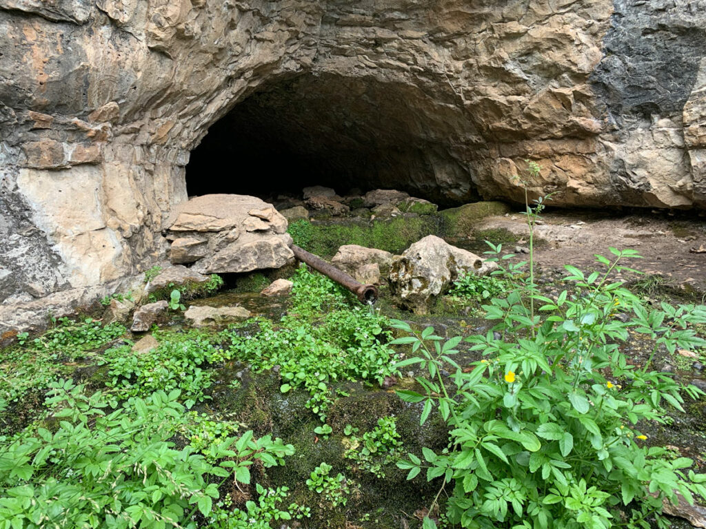
When the trail starts getting steeper, you can comfort yourself by knowing you are almost to Horton Springs. You should come across a sign pointing the way, and as you follow it, you will come to a point where you can cross the creek on a wooden foot bridge. Following the creek upstream on either side should bring you to Horton Springs, gushing out of the side of the mountain. It’s one of those miracles of nature that always fills you with wonder.
Optional Trip to the Rim
Added distance: 1.0 mile
Added elevation: 668 feet
If you’re in for a heart-pounding workout at this point, the last half a mile or so up to the top of the rim is a steep but rewarding climb.
The Horton Creek Trail continues on the west side of Horton Springs and winds steeply up the mountain. The trail here is far less used, so it’s a little harder to follow because it’s skinnier and possibly overgrown. We have had an epic monsoon season this year, so the grass was really long and extra fun since I would step on the end of the blades with one foot and then trip on them with my other foot.
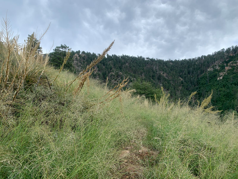
So, it’s not the easiest, but if you take a moment to look back, you’ll see why I think it’s worth the effort. Isn’t it dreamy?
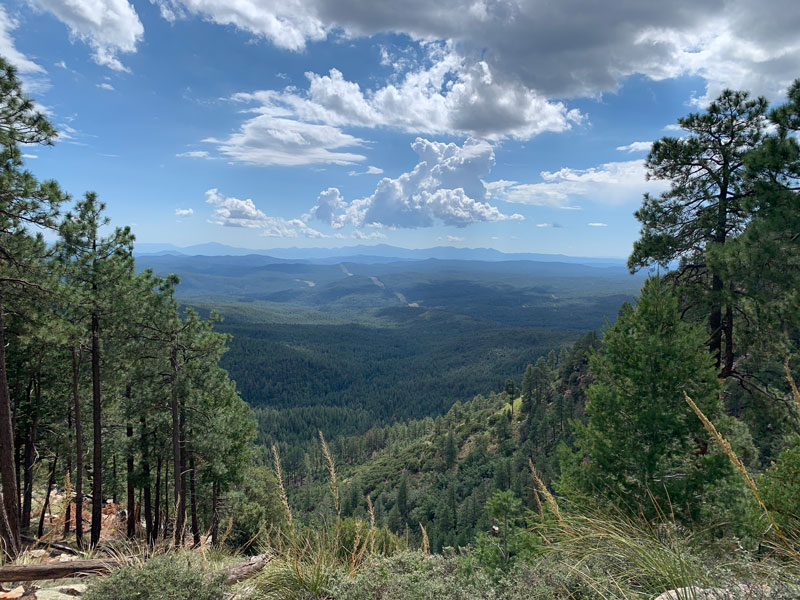
The actual top of the rim is kind of a let down compared to the views just before it. I originally planned to hike all the way to Forest Road 300, but after I went up until there was no more to go up and crossed into Coconino National Forest, it started being less satisfying because there were no good views. So when you reach a satisfying vista, sit down, take it in, and then head back.
And watch for cow pies if it’s been raining. Not all “mud” is created equal.
Backpacking Horton Creek
Backpacking is generally allowed along the Horton Creek Trail, and there are numerous campsites to be found along the way. I marked a few of them on the map to help you out and featured some of them in the image below, but there are definitely others. The numbers in the picture correspond with the campsites I marked on the map below.
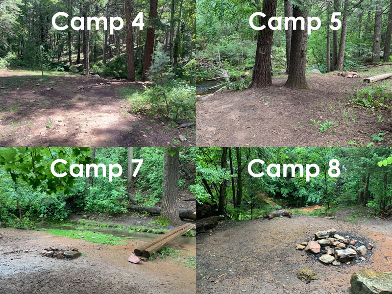
Be aware that the area near Horton Springs is sometimes closed to camping due to the nesting season for the Mexican spotted owl. Check with the forest service before planning a trip to see what closures may be in place. There should also be signs at the trailhead showing any closed areas.
Map & Directions
Location Horton Creek, Tonto National Forest, Payson, Arizona
From Payson, take Highway 260 east about 16 miles until the turn for Tonto Creek. Turn left and follow the road to the Horton Creek Trailhead. The parking is past the trailhead, over the bridge, on the left.
Fees/Passes None
Trailhead Facilities Pit toilets available at the parking lot
Recommendations for you
Water Wheel Falls | Payson
Pivot Rock Spring | Mogollon Rim
Pine Canyon | Mogollon Rim
Leave a Reply