
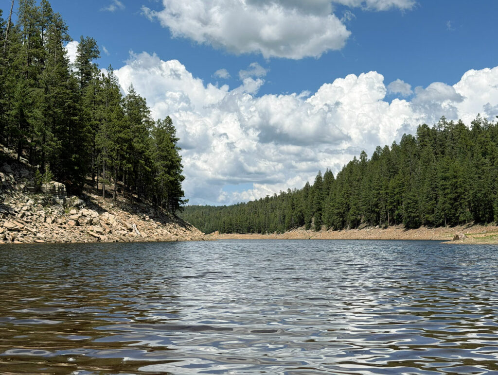
Knoll Lake via Babe Haught
TRAIL STATS
Nothing better than a refreshing swim at the end of a challenging summer hike, and that’s exactly what you’ll get on your adventure to Knoll Lake. The Babe Haught Trail climbs steeply up the Mogollon Rim, offering sweeping views of the valley below, before meandering through a shady forest to the lake. As a bonus, you can stop by the fish hatchery before or after your hike to see the rainbow trout and pick wild blackberries from the plentiful bushes there (in season).
Trail Description
When the summer heat bears down, we have one requirement for our hikes: water! That led us to discovering this hike to Knoll Lake, which would let us get some elevation gain before the worst heat of the day, and then reward us with the cool, calm water of the lake at the top.
Tonto Creek Hatchery
This hike starts near the end of Forest Road 289, just before the entrance to the Tonto Creek Hatchery. If you want to visit the hatchery before or after your hike, you can drive up to the visitor center parking where you’ll find portable toilets.
Years ago when I came here, we were able to go up toward where the young fish were kept, and we bought food from the little vending machines to feed them. This time it was gated, and we could only see the big rainbow trout in the lower pond.
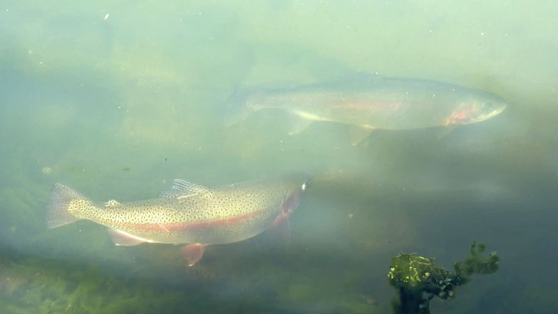
The Tonto Creek Hatchery website states:
“In response to the discovery of New Zealand Mudsnails downstream of the hatchery in June 2023, outdoor rearing units have been enclosed to enhance biosecurity. Public access to fish rearing areas is now prohibited. Visitors may continue to access areas adjacent to the Show Pond and the indoor visitor center.
Visitors are still welcome to enjoy feeding fish in the show pond and exploring the visitor center.”
It was still a lovely visit, and we enjoyed handfuls of blackberries from the bushes lining the walkway.
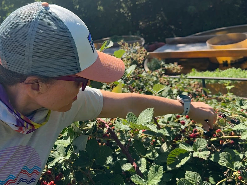
We skipped the visitor center because it was a hot day, and we needed to get our hike going. If you go, let us know how it was in the comments below.
Fish Hatchery Trailhead
Just before the entrance to the Tonto Creek Hatchery, you’ll find a large parking area at the Fish Hatchery Trailhead. There’s a trailhead register next to the access point for the Highline Trail, so it’s easy to accidentally start off on that trail (oooooooops!). To get to the Babe Haught Trailhead, walk up the road, just past the sign for the hatchery, and look for a trail marker sign on the left side.
Babe Haught Trail #143
The Babe Haught Trail wastes no time starting the incline up to the rim. In the next mile-and-a-half, you will ascend over 1200 feet, and if you were expecting a cool, shady forest, forget it. While there are a few nice trees at the beginning, most of the trees on this trail will have you huddling to try to get a little reprieve from the sun. Farther up, the shade is even more scarce, and you might find yourself settling for a bush shading your legs. Don’t despair, it will be shadier in the afternoon on your way down.
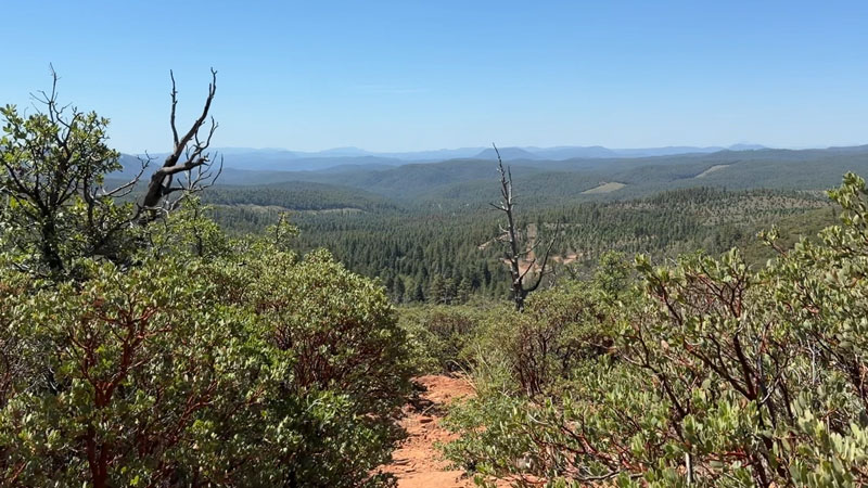
It’s been an active monsoon season so far this year (2026), so there was some humidity hanging around in the air during our hike up, too. With temperatures pushing the upper 80s by mid-morning, no shade, humidity, and a steep climb, it was exhausting. We downed plenty of fluids, electrolytes, and salty snacks, and we stopped often to cool down. The thought of that refreshing lake was the ONLY thing keeping us going at that point.
To be fair, it said “Haught” right in the name of the trail, and they weren’t kidding. Start early, stay hydrated.
Babe Haught Viewpoint
Just when you start seriously considering turning back to gorge on blackberries and play in the creek that runs next to the trailhead, some hope appears. The trail leads you on top of a ridge where you can go out to an awesome viewpoint and celebrate your progress.
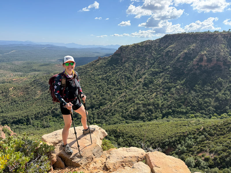
Yeah, I thought that rock looked a little sketchy, too, but I had my friend, April, test it out thoroughly before I stood on it.
Mogollon Rim
After the first mile-and-a-half, the trail finally begins to flatten out a bit when you crest the Mogollon Rim. This part of the trail provides sweet relief as you find yourself strolling along under the tall, shady ponderosa pines. There’s still a little elevation to gain up ahead, but it’s nowhere near as steep and merciless as what you just did.
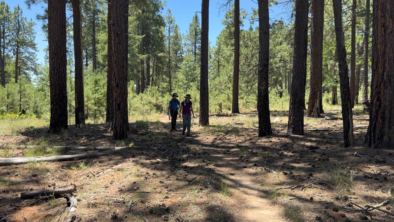
As soon as you crested the rim, you crossed from the Tonto National Forest to the Coconino National Forest. While the trail name remains the same, the trail number changes from #143 to #43, which can be a little confusing.
After another mile on this trail, if you’re the trip planner you’re about to get in trouble.
Rim Road 300
“You mean we could have driven here?” Your hiking compadres may be questioning why you put them through that grueling climb if you could have started the hike up here. All I can say is, we would have missed the blackberries if we didn’t start at the hatchery. Whether that’s enough to preserve your friendship, I don’t know.
Cross the road to continue on Babe Haught Trail for another mile-and-a-half to reach the lake.
Knoll Lake
When we first approached, we didn’t see any water, and I had a tiny panic attack that I really had put my friends through that hike for nothing. Not to worry, even if the map shows the lake being bigger than what you see in real life, it’s still a pretty big lake. Continue along the shoreline until you get to that cool, refreshing water.
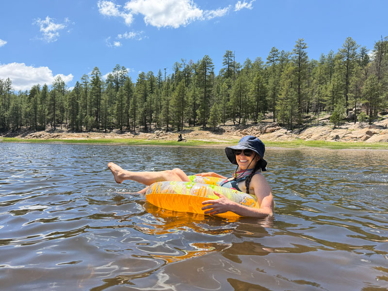
Cannonball! Okay, maybe not. The lake was shallow for a good distance before finally dropping off. We had a lot of rain recently, so the water level may vary when you visit. Because we were tired and had arrived by foot, we spent all our time there relaxing instead of exploring more of the lake.
You can actually drive all the way to this lake if you wanted to bring your kayaks some time. The road was on the far, upper side from where we were, so we never saw any sign of it. The lake was pretty enough to make me want to come back and explore it more someday.
Camping
There are several great campsites along the shore of the lake, so you could make this into a backpacking trip if you wanted. I marked one campsite to give you an idea, but looking around for a little bit should yield several options.
Map & Directions
Location Tonto National Forest and Coconino National Forest, Payson, Arizona
From Payson, take the 260 East to Forest Road 289. Turn left and follow this road until the entrance to the Tonto Creek Hatchery. The parking area for Fish Hatchery Trailhead is just before the hatchery entrance.
Google Maps Tonto Creek Fish Hatchery
Fees/Passes None
Trailhead Facilities None, although there was a portable toilet at the fish hatchery.
Preview this Hike
Recommendations for you
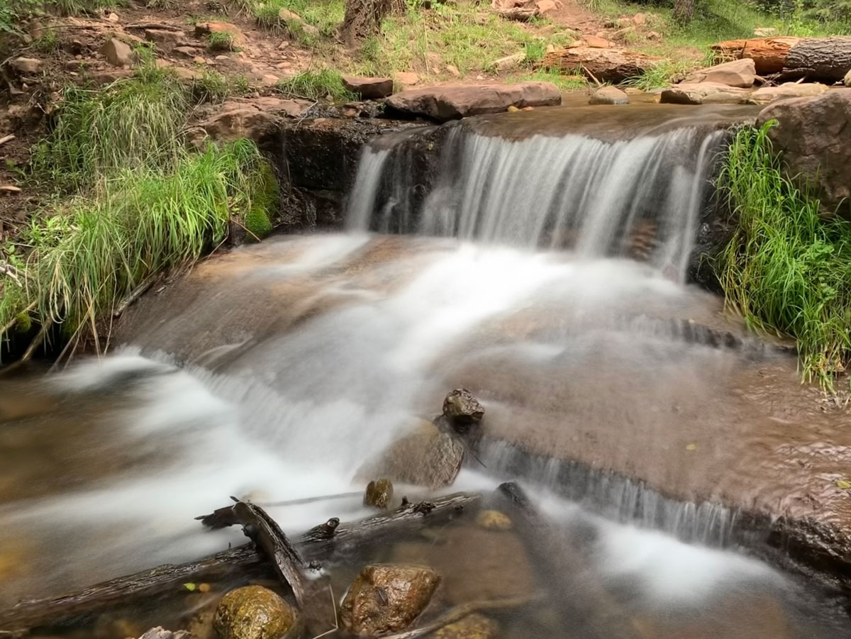
Horton Creek | Payson
Pine Canyon | Payson
See Canyon | Payson
Leave a Reply