Pine Canyon
TRAIL STATS
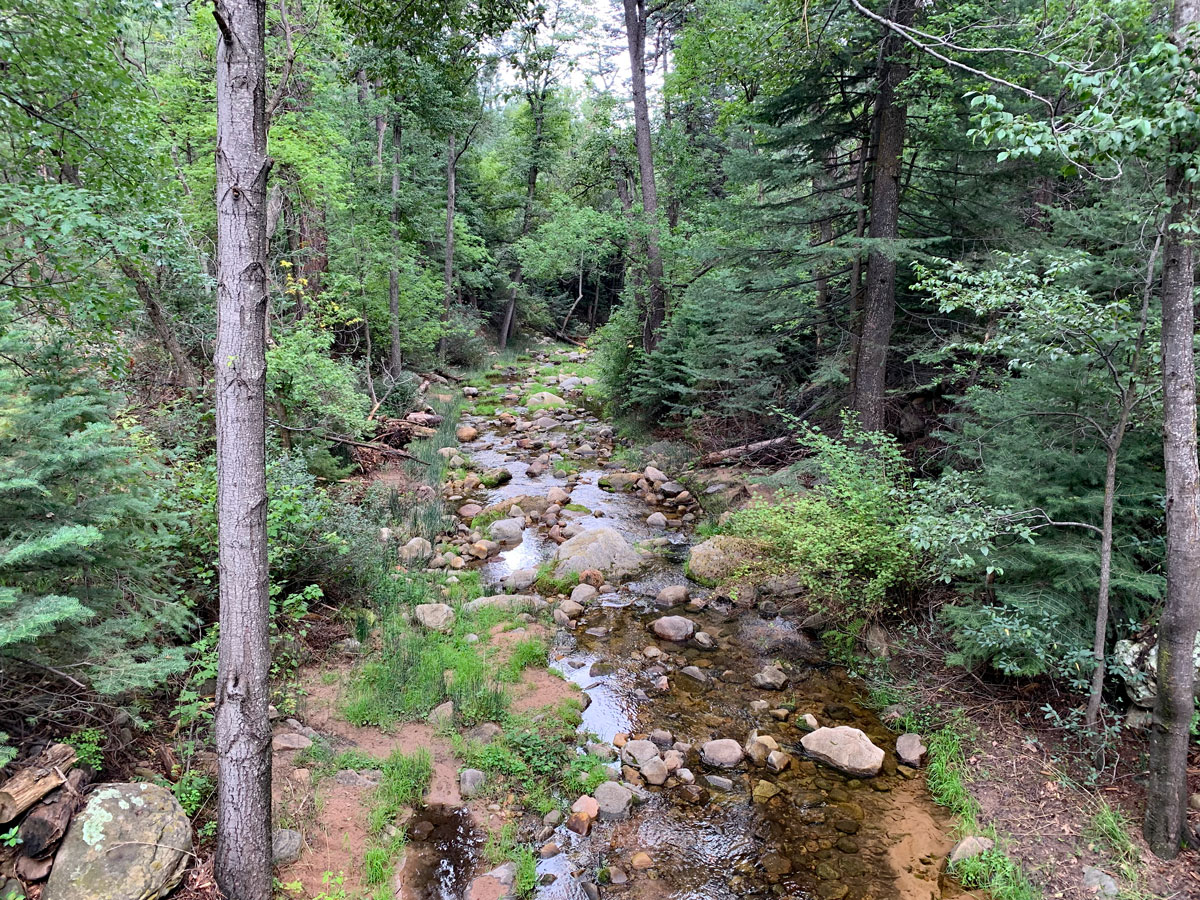
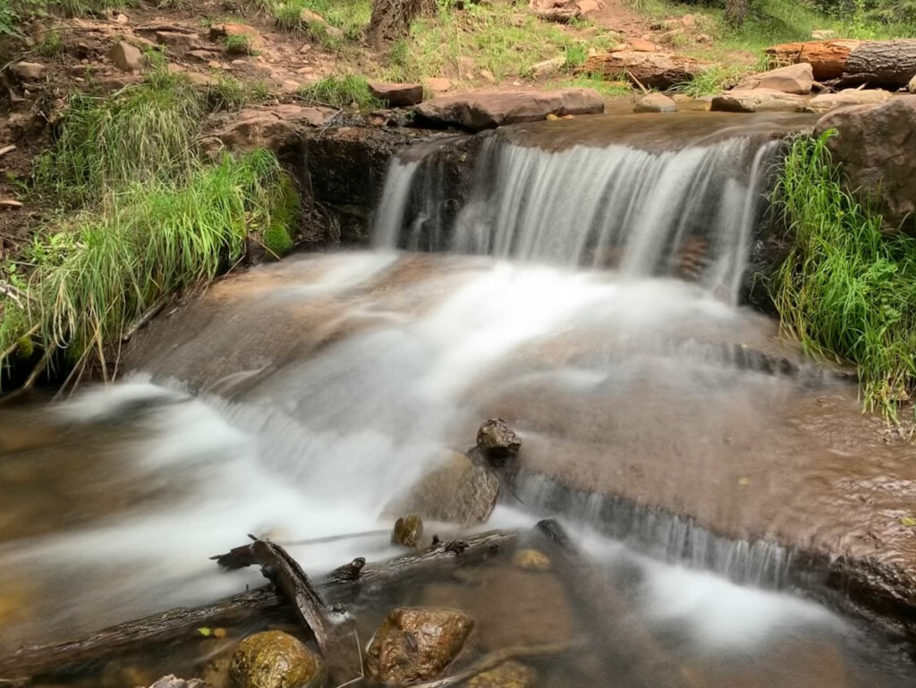
Pine Canyon is a densely forested canyon with a creek that extends from the top of the Mogollon Rim on the north to the small town of Pine, Arizona. It’s 10 miles long, but starting at the rim and hiking down the first half will let you see the best of the canyon, get great views of rim country, and finish with a nice workout as you climb back to the top.
Trail Description
We had a dinky car, so we parked right off of Highway 87 and walked through the vehicle gate to get to the start of the trail, but the forest service map does make it look like you can drive a short distance along Forest Road 06038 if you’d like to get closer. There’s a sweet spot to camp along this road, too, if you’re so inclined.
Follow the road past the sign pointing to the “switchbacks.” Okay, who was in charge of the signs here?
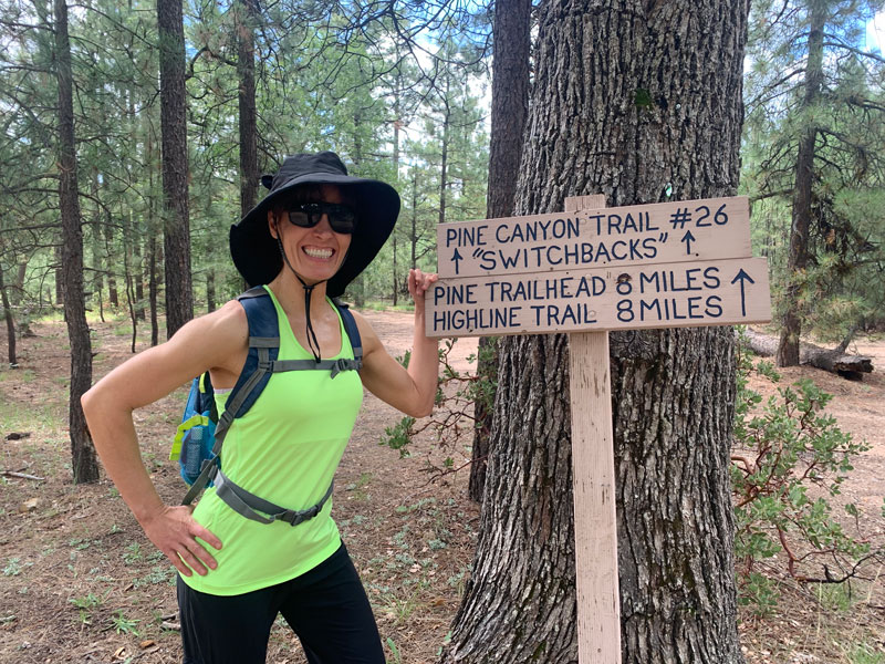
Pine Canyon Trail no. 26
Eventually the road gives way to more of a trail, and you’ll pass through a gate to get to those “switchbacks.” Once you begin your descent, don’t forget to look at the view any time you get a break in the bushes and trees.
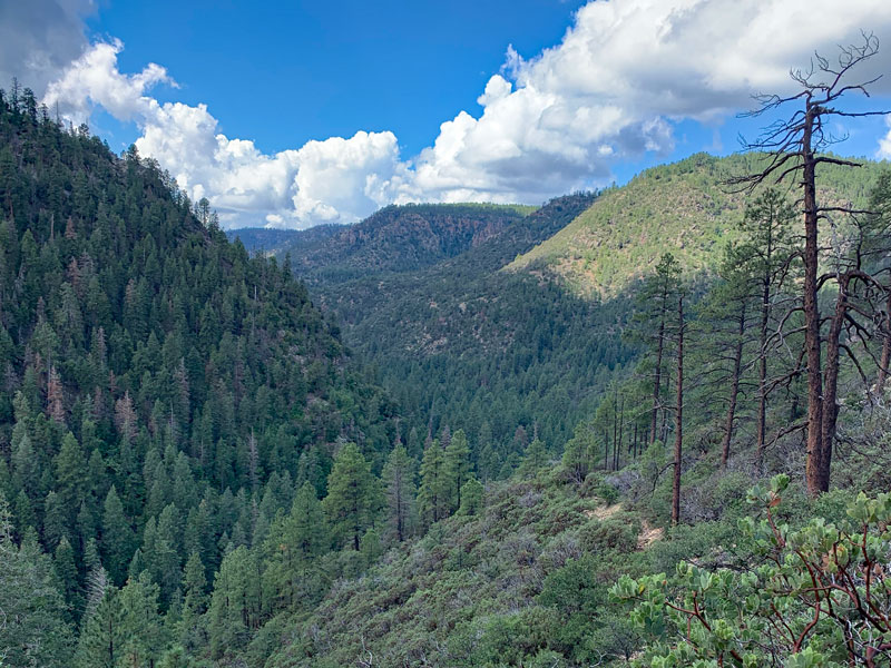
As the switchbacks keep coming, you might start to panic. “Hey! Wait a minute! I’m going to have to climb up these at the end.” Yes, yes you are. Don’t think about that now.
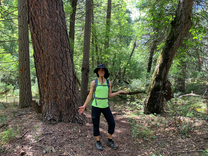
Look, the forest is beginning to surround you. Just enjoy it!
And watch for spiders because those sneaky things like to dangle from the trees right in the middle of the trail. Send your least favorite friend first.
If you see a sign for Darling Rocks, just go ahead and put that curiosity away. The extra mile is not worth the effort to see very ordinary rocks with a sign dedicated to a church leader. Don’t say I didn’t warn you!
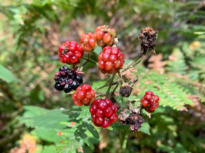
Wild Blackberries
There are wild blackberry bushes everywhere down here, but we only found a few berries left on them in late August. So what if ants had just been walking on my tasty berry?
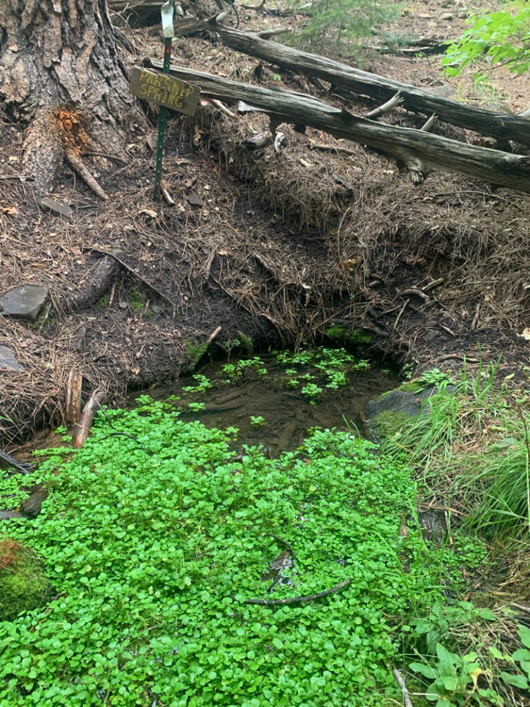
Parsnip Spring
You’ll also see a sign for Parsnip Spring, which is very close to the trail and a pretty little spot.
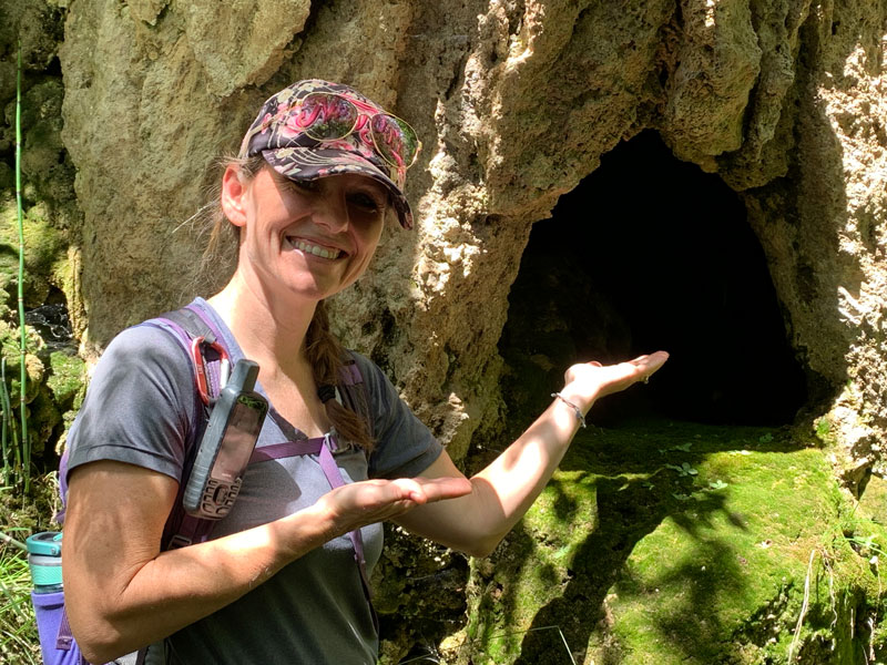
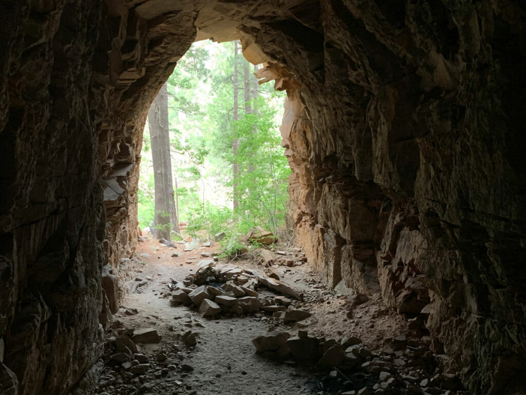
Tiny Cave
Eventually, you’ll come to a sign for the tiny cave. You know you want to see that. It’s like something you can pay $5 to see at the state fair, but it’s free. Go on, look inside! It has little formations in it.
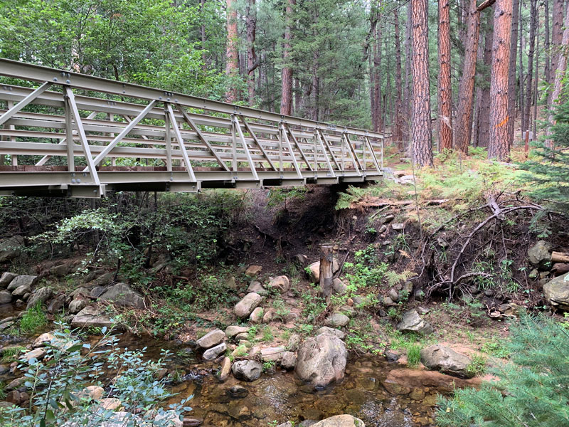
The Bearfoot Bridge
I’m a sucker for bridges! This one marks the junction of the Bearfoot Trail, which is not on the forest service map, but evidently leads back to Strawberry. We just used the bridge for a photo op and cartwheels (by my buff ballerina/gymnast friend, not me).
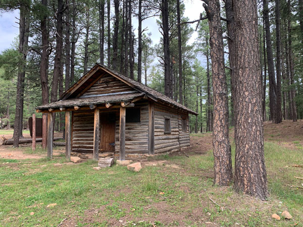
From here, the trail becomes less interesting as it makes its way toward a private camp. You’ll come to a signed junction where you can continue toward Pine by following the sign for east rim, or do like we did and head back. Just remember, it’s all uphill from here!
Map & Directions
Location Coconino National Forest, Tonto National Forest, Mogollon Rim, Arizona
From Payson, take Highway 87 north past the towns of Pine and Strawberry. A short distance beyond the junction with Highway 260, park on the right side of the highway at the entrance to a dirt road.
Fees/Passes None
Trailhead Facilities None
Recommendations for you
Horton Creek | Payson
Cabin Loop | Mogollon Rim
Coconino Tunnel | Mogollon Rim
Leave a Reply