Reavis Ranch
TRAIL STATS
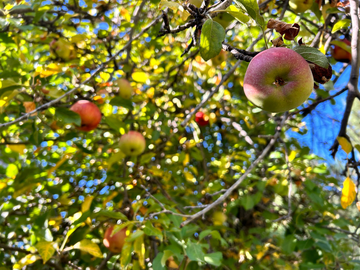
It’s hard to believe Reavis Ranch exists in the Superstition Wilderness. Unlike most places in the wilderness, this beautiful valley is filled with pine trees and alligator junipers and has a sparkling creek that runs most of the time. In the 1870’s, this was the homestead of Elisha Reavis, who grew fruits and vegetables here to sell in the surrounding communities. Though not much remains of the ranch, there are still several apple trees in the orchard that are adorned with blossoms in the spring and produce large, flavorful apples in the fall. Plenty of campsites make it a fantastic backpacking destination.
Trail Description
There are multiple ways to get to Reavis Ranch, but the shortest (and closest to the Phoenix area) is from Rogers Trough Trailhead. Before we get to the trail description, let’s talk about that road! I had purchased a 4×4 vehicle just 5 days before this trip, and two miles before the trailhead, we realized the air pressure in one tire was dropping. We found the flattest spot we could find on what is generally a steep and bumpy road and got out to find a sharp rock had punctured the tire. Off to a great start! (I won’t bore you with the story about how we got pulled over in Gold Canyon on the way in before this happened).
Moral of the story (1) 4×4 with high clearance is required, (2) make sure you have a good spare tire, and (3) for the love, watch for the speed limit change to 55 in Gold Canyon. It’s always swarming with cops (he let me off, so there’s that).
Reavis Ranch Trail #109
From the trailhead, you’ll start off on Reavis Ranch Trail. There are a couple trail junctions in the first mile, but they have signs and should be easy to navigate. This particular trail is part of the Arizona Trail, so it’s likely to be decently well-traveled, and you just might run into folks who started their hike in Utah.
The trail passes through typical desert landscape and parallels a creek bed, which will probably only have water during a wet spring season or maybe after some good monsoon storms. After a couple miles, the trail leaves the creek and starts up some switchbacks toward Reavis Saddle.
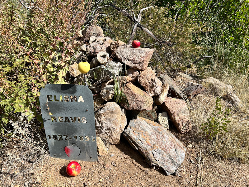
Elisha Reavis Grave
A quick side trip near where the trail starts going up takes you to the gravesite of Elisha Reavis. According to the book, “Hiker’s Guide to the Superstition Wilderness” by Jack Carlson and Elizabeth Stewart, his body was found and buried here in 1894.
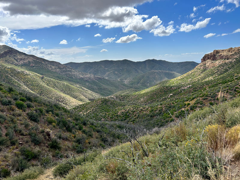
The switchbacks will take you up to Reavis Saddle. Don’t forget to look back and take in the view!
Once over the saddle, you’ll enter an area that burned in the Woodbury Fire of 2019, so you’ll have some fallen trees to climb over.
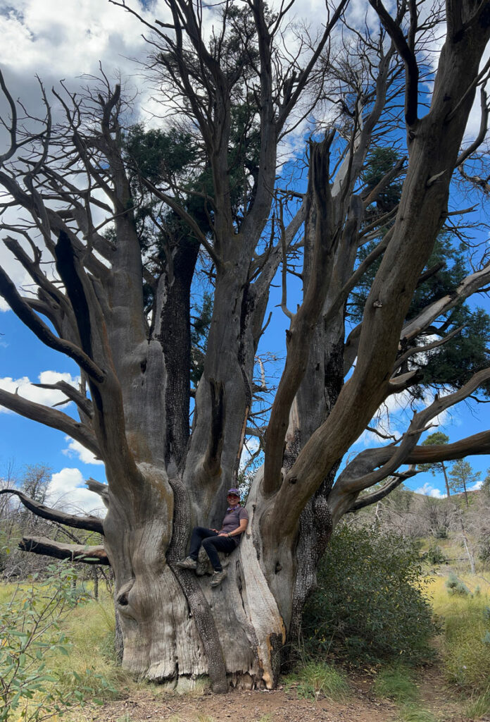
Giant Alligator Juniper
During the fire, firefighters made a heroic effort to save the beloved giant alligator juniper that stands next to the trail.
The grade in this section is mild, and you’ll find yourself strolling through expansive meadows filled with tall grasses.
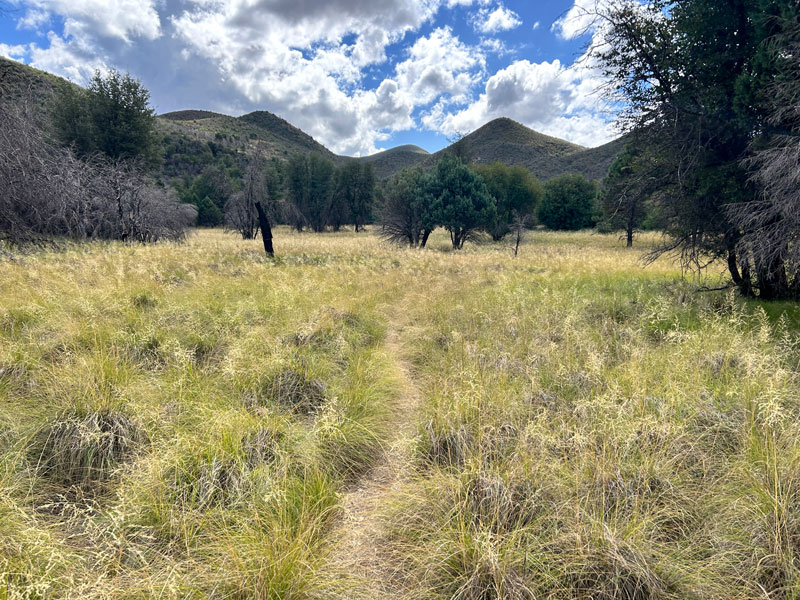
As you get close to Reavis Ranch, you’ll come across Reavis Creek, which should have water in it in all but the very driest of times. This was the only place that had water when we went in October. The creek is lined with tall, thick plants that can get a bit overgrown at times.
Reavis Ranch
Shortly after crossing the creek, you’ll arrive at a wide open area. Welcome to Reavis Ranch! As you keep walking along the trail, you’ll come upon the foundation of one of the buildings that used to be there, as well as an old well and an axle.
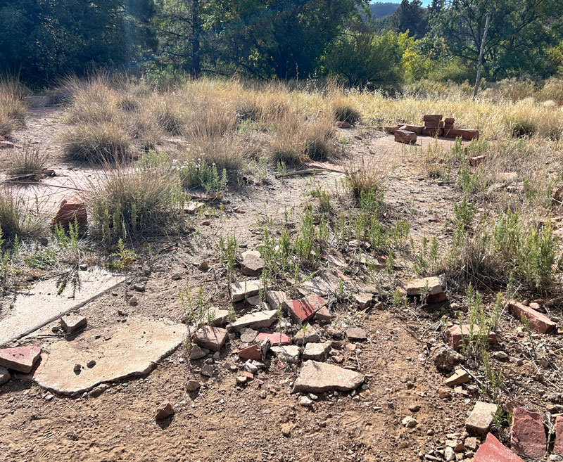
Farther off the trail, you can see some old farming equipment, which is marked on the map.
North of the main ranch, you’ll find the apple orchard. If you happen to be there in October, you might find ripe apples ready for picking! In spring, you’ll find blossoms instead.
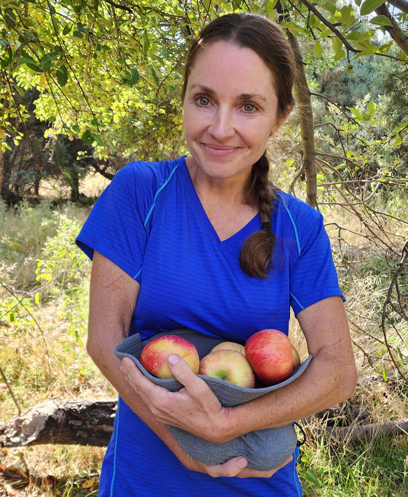
If you were expecting small, sour apples like April was, you’re in for a pleasant surprise. These are legit full size apples that are sweet, crisp, and delicious! We didn’t think to bring supplies for making apple crisp, but you’ll be prepared, won’t you?
Camping
There are plenty of campsites spread out all over the ranch area, so there should be somewhere to camp for everyone who wishes to. During weekends when the weather is nice, you’ll definitely be sharing with others, but there is a lot of room to spread out.
Map & Directions
Location Superstition Wilderness, Apache Junction, Arizona
From Apache Junction, head east on US60 to Queen Valley Road and turn left. Then turn right on Forest Road 357. This road is dirt, but not too bad. After 3 miles, you’ll turn left onto Forest Road 172, where a sign marks the junction for Rogers Trough Trailhead. After 9.2 more miles, bear right onto Forest Road 172A, which becomes significantly more steep, sandy, and rutted. You will need a 4×4 high clearance vehicle to pass. Follow this road past the junction with Forest Road 650 to the trailhead.
Trailhead Facilities None

Leave a Reply