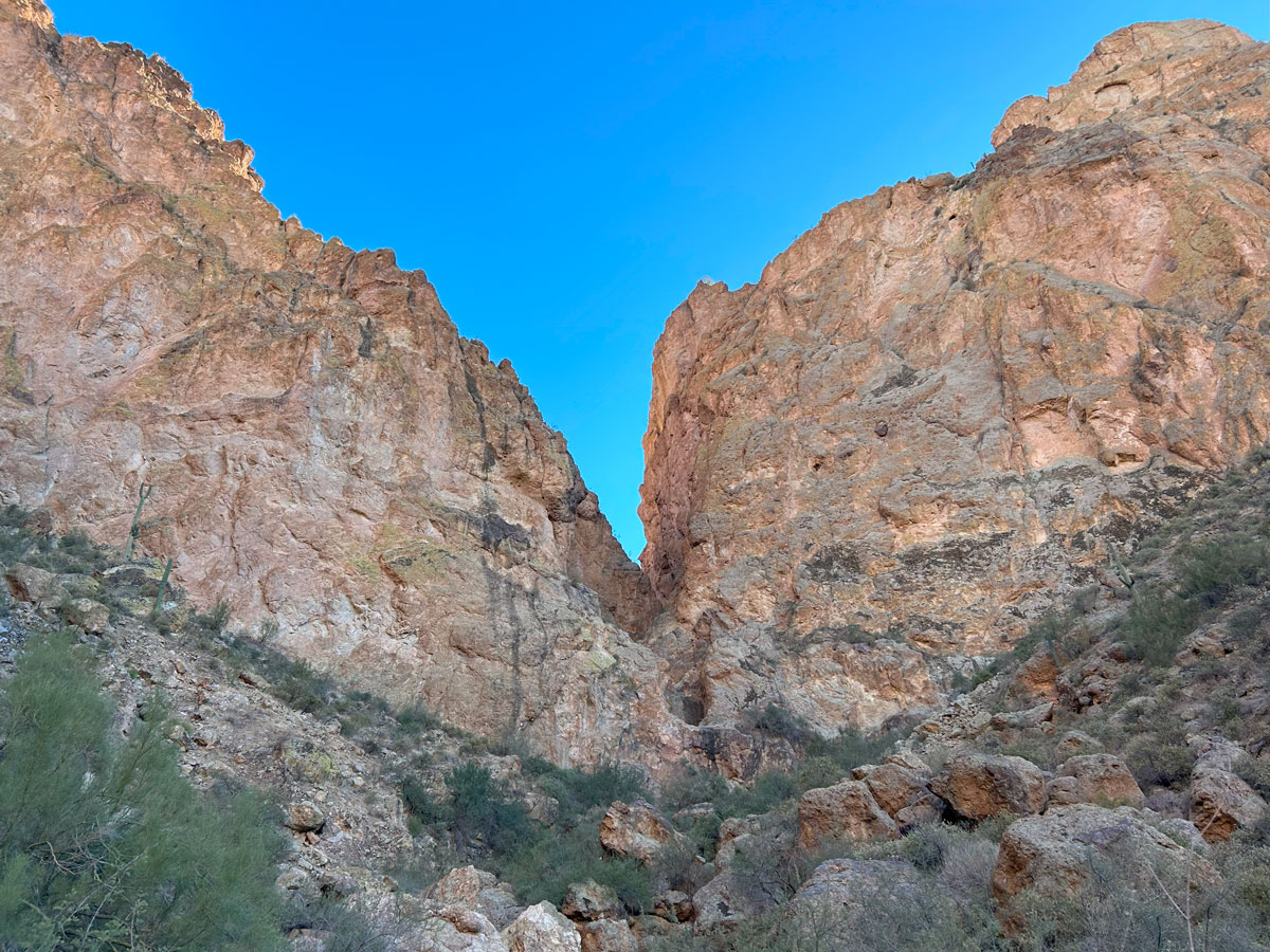
Backyard Canyon
TRAIL STATS
As far as adventure goes, Backyard Canyon is full of it, even if it’s not always the pleasant kind. Scramble up a rugged gulley to panoramic views of the Goldfields, then descend three to four nice rappels featuring narrows and a deep pothole. Numerous downclimbs and gobs of catclaw round out this adventure in the Goldfield Mountains.
🪢 This is a technical canyon with three to four rappels up to 140 feet, including a mandatory waist-deep pothole. You will need one 200-foot rope, one 200-foot pull cord, plus all the required safety equipment for rappelling and knowledge how to use it. This guide is not intended to provide instruction on how to descend a technical canyon safely.
Trail Description
The Goldfield Mountains are a favorite for OHV enthusiasts, but less popular with hikers, who are more often heading to the neighboring Superstition Mountains. However, those who get out of the vehicle and explore the Goldfields on foot will soon realize they have a lot to offer. This canyon takes you to some of the stunning scenery of the Goldfields, including towering volcanic cliffs, deep narrows, and a mandatory waist-deep pothole that has water year round. The downside is a lack of trail and tons of catclaw. Don’t wear your favorite clothing.
Bulldog OHV Area
The parking for this adventure is located inside the Bulldog OHV area, so you will need a permit from Recreation.gov to access it. From the Blue Point access gate, you’ll travel just shy of two miles to the parking area on a dirt road that has ruts and berms, but should be passable by any high clearance vehicle in dry conditions. The parking area, on your left, has a fire pit and is close to a powerline.
The Approach
From the parking area, begin following a rough road southeast toward the cliffs in the distance.
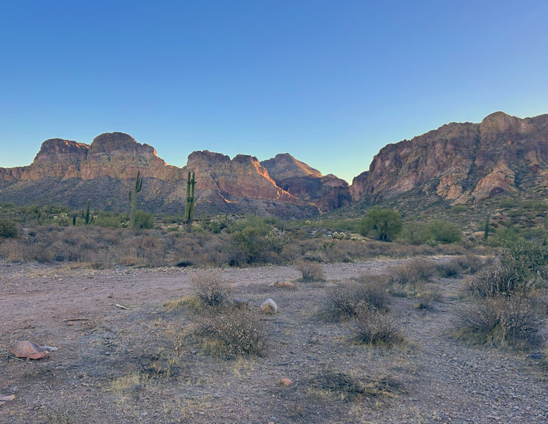
That large break in the cliff will be your exit, but for now you’ll head right of that. The road eventually turns into a drainage, where you’ll find class 3 scrambling (and did I mention catclaw?).
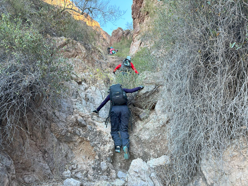
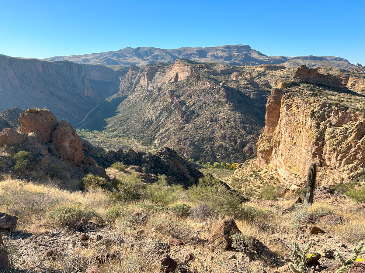
Once atop the ridge, take a good look around because these are your grandest panoramic views of the day. Now that you’ve done all that work to hike up there, it’s time to go down the other side. No, we’re not kidding.
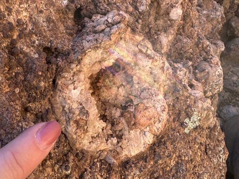
Find the path of least resistance down the other side, and if you get cliffed out, make your way to the right a bit to find a steep gulley. That’s your one way ticket. Look for geodes embedded in the rock along the way.
Once you’re way down at the bottom of the drainage, head left toward the first rappel.
The Descent
At the top of the first rappel. you’ll find you’re at the head of a magnificent narrows section, and you’ll be able to see down to the dreaded swimmer pothole. Okay, we dreaded it only because it was January, and the wind was whipping us.
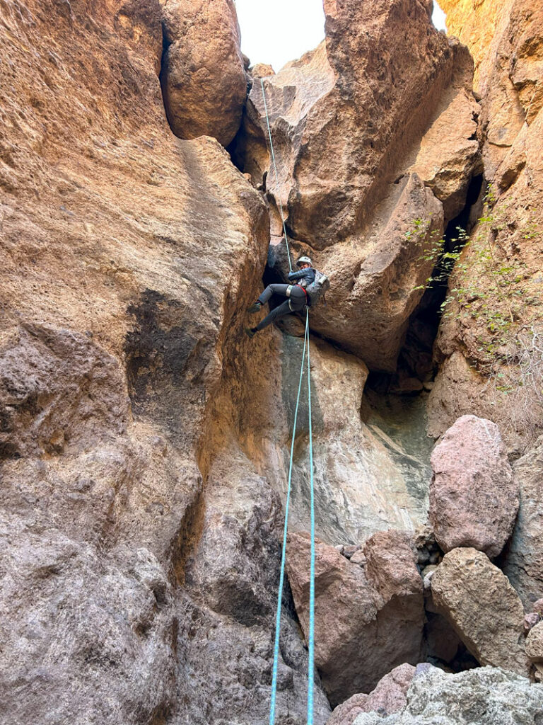
Rappel 1
Anchor Rock pinch
Length 75 feet
To get to the anchor, you’ll have to climb down what looks like a little slide toward the edge. It’s unnerving for some. Bring a personal anchor.
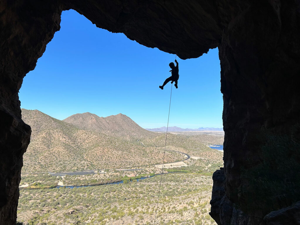
The rappel itself is pretty straightforward, going over a few boulders along the way.
Rappel 2
Anchor Rock cairn “dead man”
Length 40 feet
The anchor may sound sketchy, but these rocks are plenty big, and the geometry is such that the anchor is down behind another huge boulder.
The rappel is easy, but you’re going into a deep pothole. Ropewiki says it’s mostly wading, but we floated on a packraft. It was January, people!
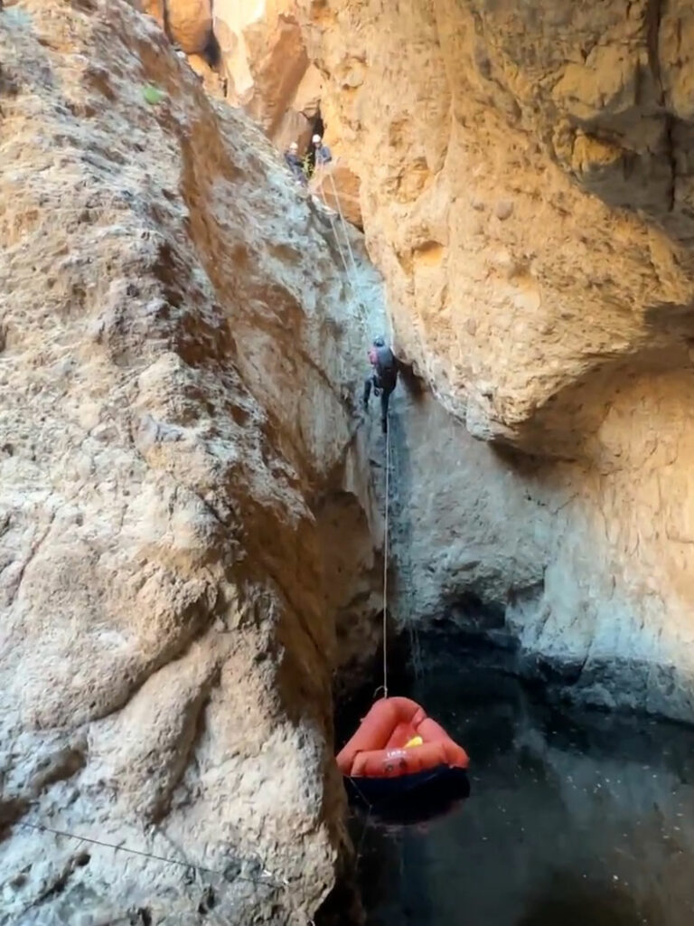
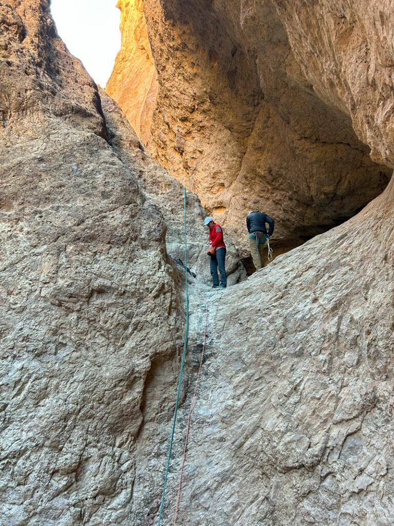
Rappel 3
Anchor same as rappel 2, meat anchor, or boulder in the water
Length 20 feet
Since it was January, there wasn’t any way we were meat anchoring from the water. So, we sent the first person down to do a test pull, and it was very easy, so we recommend just making this a 2-stage rappel. Just keep the rope high on the left wall.
There is some downclimbing between here and the next rappel.
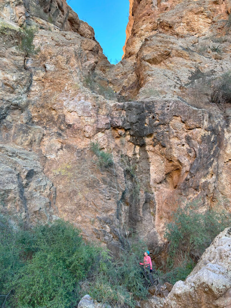
Rappel 4
Anchor rock pinch set back RDC, or mysterious ghost cairn that wasn’t there when we went
Length 140 feet
Basic rappel down two stages. Considering how far back this anchor is from the edge, the rope pull is going to be hard. There are two stages and a few plants that may complicate it. Make sure the line is as clean as possible.
The Exit
With a rough road, some class 3 scrambling, catclaw, steep drainages, and cold water, you’ve already put in a lot of effort for this canyon. But it ain’t over.
The first part of this exit has a lot of huge boulders that you will have to find your way through. Sometimes, it’ll be a downclimb where a partner assist is helpful. Other times, it’ll be a choose your own adventure puzzle where every person has to pick the obstacles they like best.
When the boulders let up, the catclaw is still in full force. Expect to donate some blood on the way out.
Just when you think you can’t take anymore of the drainage, hike up the left bank and go cross country instead. That won’t be much easier, owing to the ups and downs as you work your way across numerous washes, but you’ll probably be happy to be out of the catclaw.
After what seems like longer than necessary, you’ll finally be able to spot your vehicle in the distance. Hope and joy will overcome you until you get closer and realize there’s one final trial: a huge ravine separating you from your ticket out of here. Find the gentlest slope to slip slide your way down to the bottom, and then look for the easiest way back up. It’s not that hard, just annoying. Soon enough, you’ll have those tacos in hand while comparing battle wounds and laughing about a memorable adventure.
Map & Directions
Location Bulldog OHV area, Goldfield Mountains, Mesa, Arizona
Take Bush Highway to the Blue Point entrance of the Bulldog OHV area. Go through the gate and travel on Phon D Sutton road almost two miles to the parking area on the left.
Fees/Passes You will need a permit from the Bulldog OHV area from Recreation.gov.
Trailhead Facilities None

Leave a Reply