Airport Loop
TRAIL STATS
The Airport Loop offers big views of Sedona with minimal effort, although the whole loop may not be worth it. Take a short side trip up to the summit where it’s rumored there is a vortex, or hike up the Sedona View trail to a viewpoint with telescopes. This is a very popular trail, especially around sunset, so arrive early and be prepared to wait.
Trail Description
The first trick here is parking. It takes a little luck or a little patience to get a spot at the main parking area. If parking is full and you don’t want to wait, you can drive up Airport Road and pay a fee to park across from the upper viewpoint. Then hike down the Sedona View Trail to connect with the trail.
Whew, that was the hard part. Now the fun part.
Summit Trail Vortex (optional)
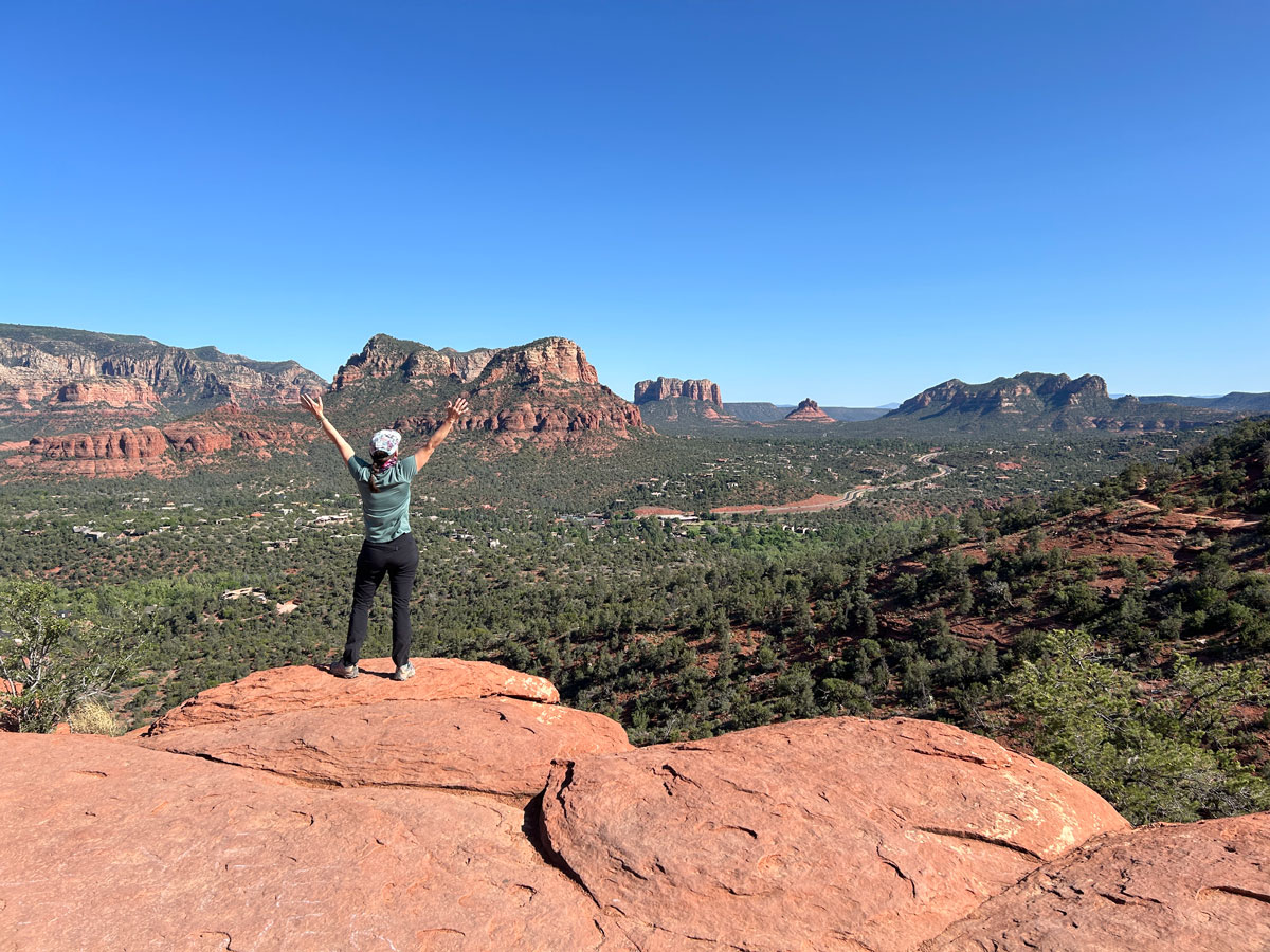
It’s no secret that most people who visit this trail are there to experience the vortex that is rumored to be at the top of the Summit Trail. I have to admit I’m a skeptic when it comes to that kind of stuff, but I decided to check it out anyway.
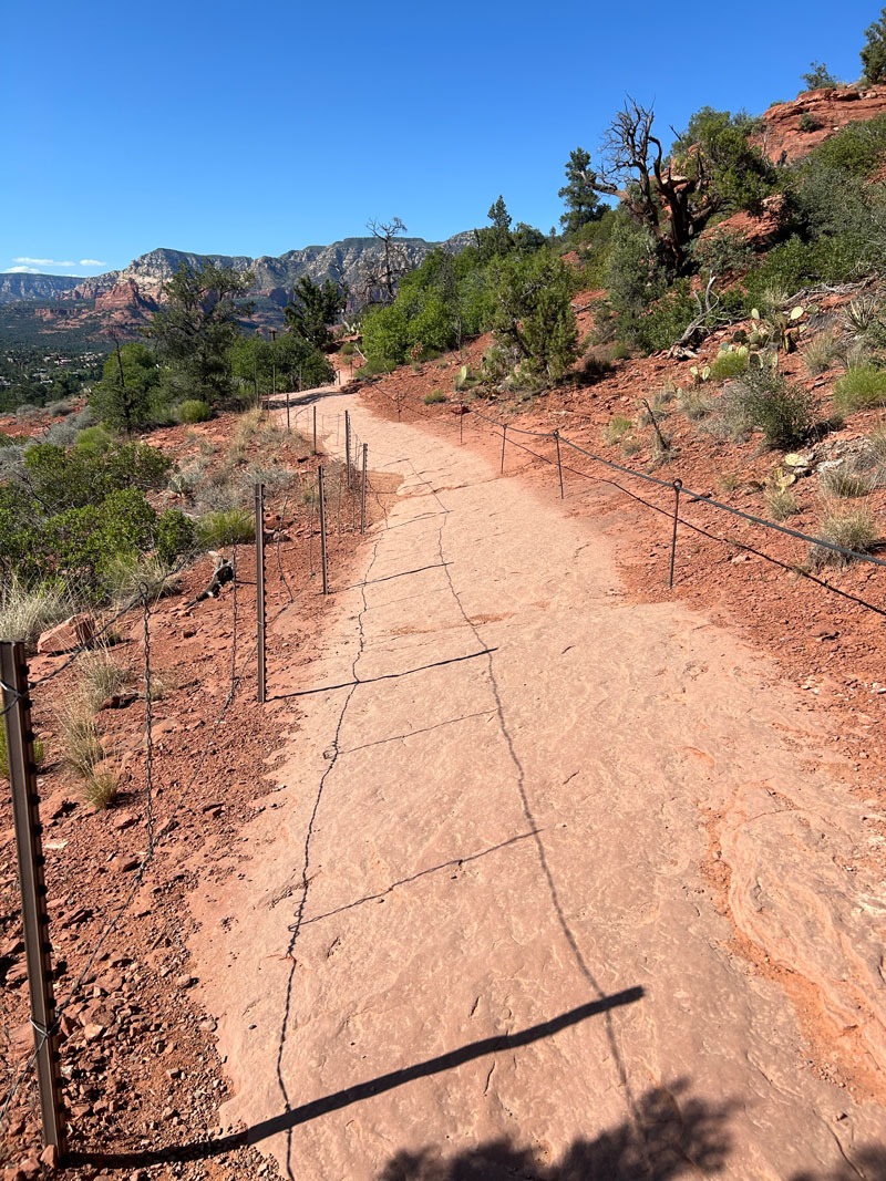
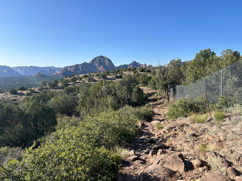
It’s just a short side trip to the summit, and I think it’s a worthwhile stop if you already put in the effort to get a parking spot. At the trailhead, look for a sign that points to the Summit Trail, and head up a wide trail with a fence along the side.
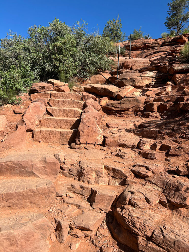
There are some rocky steps, but the trail is well-maintained. I mean, look at those! You just can’t get steps that are better than that!
When I got to the top, I tried to be respectful of those looking for inner peace up there, and I thought I might as well try to feel the energy while I’m there. But secretly inside, I was thinking this was crazy. Now, I will admit that being outdoors in Sedona is special, and it does your soul good to feel the sunshine and the breeze on your body, but what was special about this place that you can’t get anywhere else?
Well, as soon as I stepped to the edge and raised my arms up for my photo op, the wind suddenly decided to go crazy hurricane style, and I almost lost my hat. I had to laugh at the wind’s timing. Is the vortex real? You decide. Either way, it’s a nice place to sit and replenish your soul while overlooking Sedona.
On the way back down, look for a junction that breaks off to the left and takes you to another lookout.
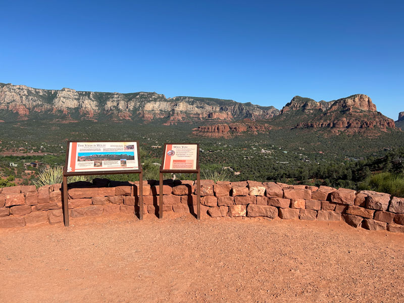
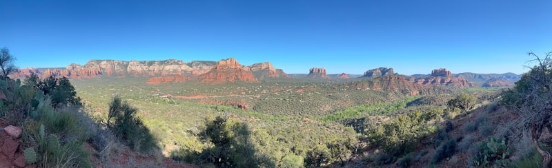
The sign here helps you identify some of the prominent landmarks in the scene before you.
From here, you’ll see a sign marking the Airport Loop. The Sedona View Trail breaks off from there, too, and you can take that up to the upper viewpoint that has telescopes. We skipped that and went straight for the loop.
Airport Loop
Heading south from the lookout, you’ll start on the loop in a clockwise direction. In the afternoon, this direction offers the benefit of starting in full shade. The views along this side of the mesa are rewarding and constant.
A lot of people just hike along this part of the trail until they are satisfied and then turn back. Those people are really smart.
If you keep going, eventually you’ll approach the end of the mesa, and the trail will start to veer right and climb up toward the top. This is the part separates the casual tourists from the serious hikers, but the hard fact is that the serious hikers don’t always get rewarded for their efforts. There is no “summit” here, and the faint use trail that goes out toward the end of the mesa doesn’t take you anywhere special. It’s more trees than views.
You know that song that goes, “The bear went over the mountain to see what he could see”? (If you don’t, look it up.) Welp, we went over the mountain, and that song pretty much sums up what you’ll see the rest of this hike, but here’s a visual.
Where are my awesome views? Other than the amazing bird that seemed to be able to float in one spot for 15 minutes straight, this side wasn’t that interesting. When you get near the very end, the views improve, but I’m going to go ahead and say the full loop isn’t really worth it when there are so many other hikes in Sedona.
Plus, cruelly, the trail then goes down to an elevation below the parking lot, so you’ll end your hike with a little climb back to the car. And an empty heart. Goodbye forever, Airport Mesa.
(Okay, I still gave it 2.5 stars because the summit at the beginning and the first part of the trail were nice and worth a stop if you’re in the area anyway.)
Map & Directions
Location Airport Loop Trails, Sedona, Arizona
Google Maps Airport Mesa
Fees/Passes None, unless you have to park higher up Airport Road at the viewpoint with the telescopes. Then there’s a fee.
Trailhead Facilities None
Recommendations for you

Hangover Trail | Sedona
Devil’s Bridge | Sedona

Mushroom Rock | Sedona
Leave a Reply