Cathedral Wash
TRAIL STATS
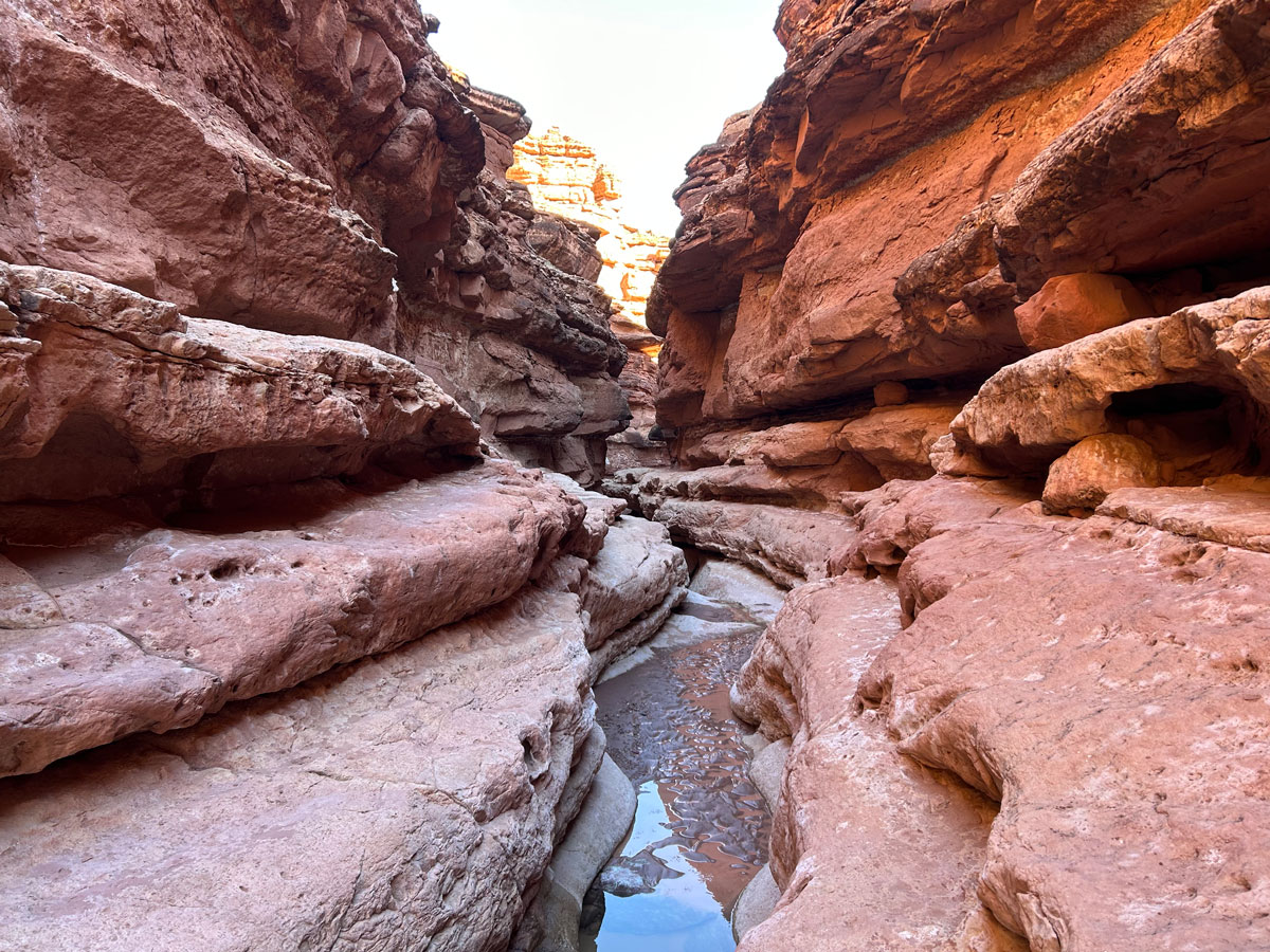
An unassuming wash directly off the road to Lee’s Ferry, Cathedral Wash conceals a beautiful section of narrows with multiple layers of sculpted rock. At the end of the hike, you’ll find yourself at the most perfect location on the Colorado River. The water is cold, but you’ll feel like it’s summer any time of year with the sandy beach and the water rushing over a small area of rapids. The hike includes some downclimbs, cliffs, and narrow ledges, so it’s not suitable for everyone.
Trail Description
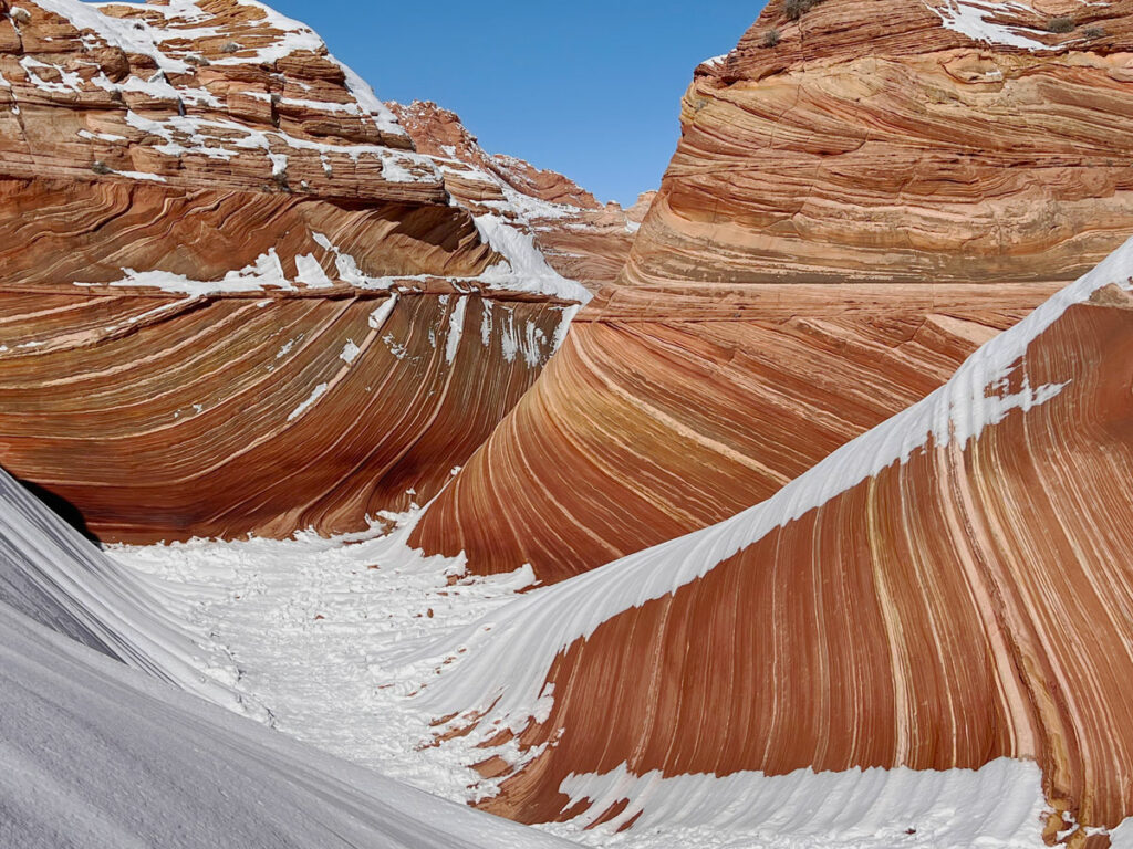
What to do when the place you wanted to hike is covered in snow and the road is a major mud bog? (Looking at you, Coyote Buttes.) Do the next best thing and hike Cathedral Wash.
Cathedral Wash Trail
Okay, it’s not really a trail. It’s a wash, and it’s very easy to follow because of that, so you won’t need to worry about getting lost. It starts out unremarkable, and you’ll probably be thinking, “Meh.” Hang in there, it gets better.
And probably muddier.
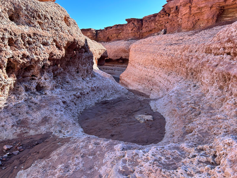
Having seen some pictures of this wash, we were not sure if we would be able to complete this hike without getting wet, and we were in no mood to get cold, muddy, or wet that day. We had enough of that at The Wave the day before (I mean, it was worth it).
Turns out, there’s pretty much always a bypass route around all the pools of water and mud along the trail because of the shelf-like layers of the wash.
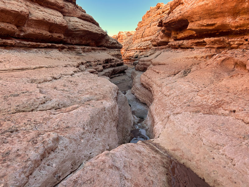
You’ll have to walk along some narrow-ish ledges, but there was nothing too sketchy for Heather, and she’s the one to back out first. Watch for cairns to help you find the places where you’ll need to climb up or down to proceed (hopefully they’re still there).
The Big Dryfall
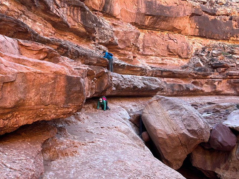
Eventually, you’ll come to a tall dryfall, and it won’t be clear how to move on. The key is to go to the right where you’ll see a small gully where you can climb down one level. If you miss the spot for the downclimb, you can still get down later, but it’s much sketchier, and only our crazy ninja trapeze artist was willing to risk it. Once on the lower level, go under the overhang and continue along the shelf, moving down a level when you can. Or not. Feel it out.
You won’t be able to get to the bottom of the drainage for a while without a very committing jump down that you may not be able to get back up. Since I was first and didn’t know what the rest of canyon held, I stayed high and continued all the way until the shelf pretty much ended. There I found an easy way down (and back up). Once we realized we could definitely get back, Hillary decided to just jump down.
Depending on which option you choose, you’ll be bypassing this large boulder either on top of the ledge or under it. Heather tried both and preferred going under.
Colorado River
The canyon will start to widen as you get close to the river. What’s that sound? Oh yeah, it’s rushing water!
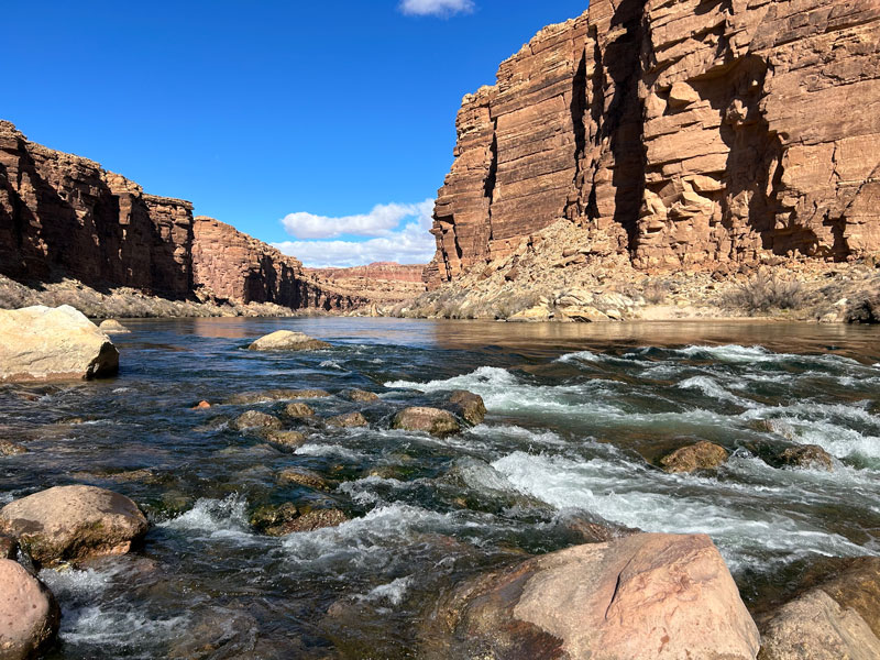
What? Crazy to find ourselves in this beautiful lunch location at lunch time. It has a beach and everything! Eat your heart out, Hawaii! (Okay, it’s an inside joke. We love Hawaii, too.)
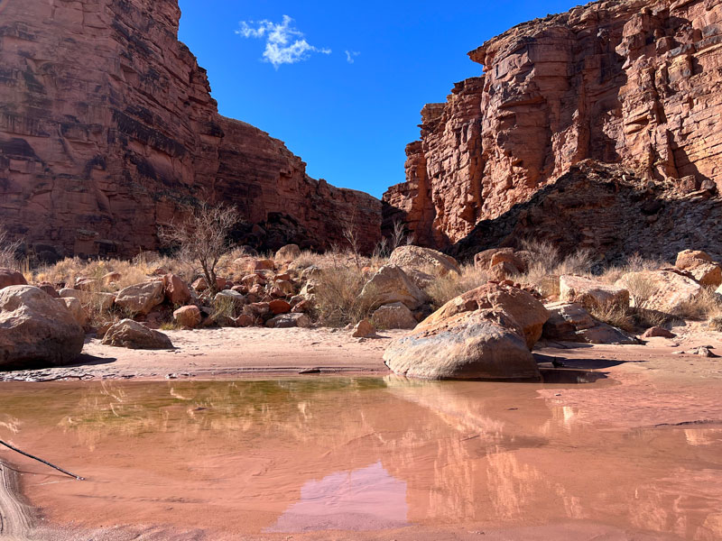
You kind of want to strip down and go swimming, right? I know, but it is freeeeeezing. Better to lay out instead. Enjoy your time in this special spot.
Map & Directions
Location Glen Canyon Recreation Area, Marble Canyon, Arizona
From Highway 89, take Highway 89A toward Marble Canyon. Turn right on Lees Ferry Road/Honeymoon Trail. The parking for the trailhead will be on the right and left sides of the road. An interpretive sign is present at the parking area on the left.
Fees/Passes You must self pay for a weekly pass for Glen Canyon Recreation Area or use your America the Beautiful Pass.
Trailhead Facilities None
Just follow the wash!

Leave a Reply