East Clear Creek
TRAIL STATS
East Clear Creek provides an escape from the summer heat with plentiful swimming holes, large shade trees, and a scenic canyon. While not as beautiful as its sister, West Clear Creek, the ease of access and ample opportunities for recreation make it a great choice. Just watch out for crawdads.
Trail Description
East Clear Creek has multiple access points, and we decided to do the segment from Forest Road 95 to Kinder Crossing. Ideally, you’d have a shuttle vehicle to save you from having to walk the forest roads for approximately three miles back to your vehicle.
Forest Road 95
Forest Road 95 is a well-graded graveled road that is suitable for any vehicle, and it takes you right down to East Clear Creek. There’s a paved parking area just past the bridge on the left side. From there, it’s just a short walk to get down into the creek.
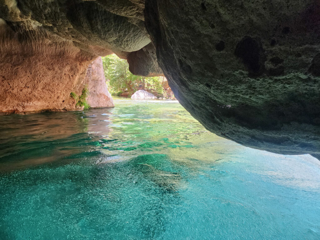
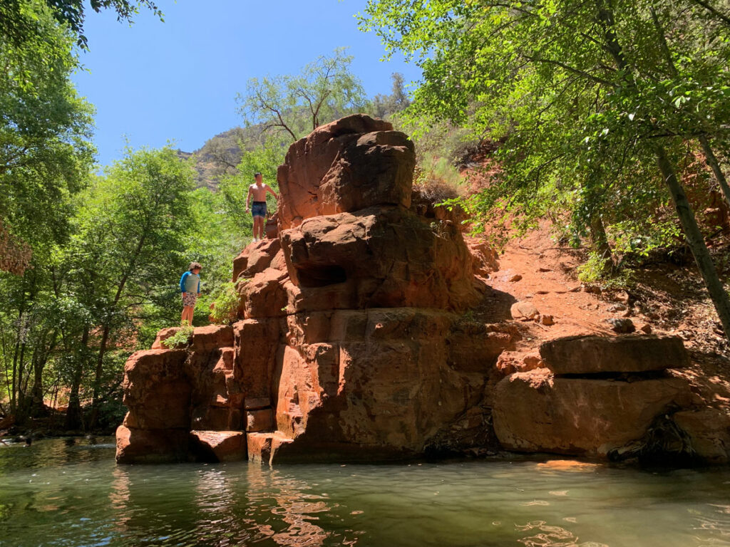
East Clear Creek
Navigation is easy since you’re just following the creek downstream, but finding the best path through is another story. There’s no official trail along the creek, but there are plenty of use trails and game trails, especially within the first half mile of the parking area. Even so, you’ll find yourself pushing your way through some bushes, boulder hopping, and crossing the creek multiple times.
Don’t bother trying to keep your feet dry because you’re going to get in eventually, and by eventually, I mean sooner than later. At just over a mile in, you’ll be up to your chest without any good alternatives.
We were able to reach bottom all the way across, so you’ll probably be able to keep your gear dry, but a dry bag is a good idea just in case.
This place would be an absolute paradise if not for the water being infested with crawdads. These creepy critters are absolutely everywhere, and while they mostly tried to avoid us, we did hear rumors of unusually aggressive ones. My friends made fun of me when they found out I wore leggings under my pants to keep the crawdads from touching my skin.
No shame, people!
The pants did not protect me from Heather, who caught a big crawdad, tried to rip it in half, and then threw it at me. Something is wrong with that woman!
I feel like I need a Heather protection suit, but I don’t know where to get one.
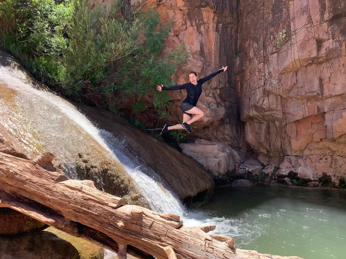
Despite not being quite as stunning as West Clear Creek, East Clear Creek is still beautiful in its own right.
Depending on the path you take, you may be walking close to the water, far away on dry land and rocks, or even in the water sometimes. When hiking in the water, you’ll need to try to stay on the gravelly parts because those rocks are slick like ice, and you’re likely to end up on your butt at least once. Not that I’d know anything about that.
Campsites
We noticed some “okay” campsites on higher ground, usually at a bend in the creek. I marked a couple on the map, but the ground was pretty rocky, and a hammock may be the accommodation of choice. I have heard there are campsites with soft sand or gravel, but I didn’t notice any, so you may have to look around a while for a comfy spot.
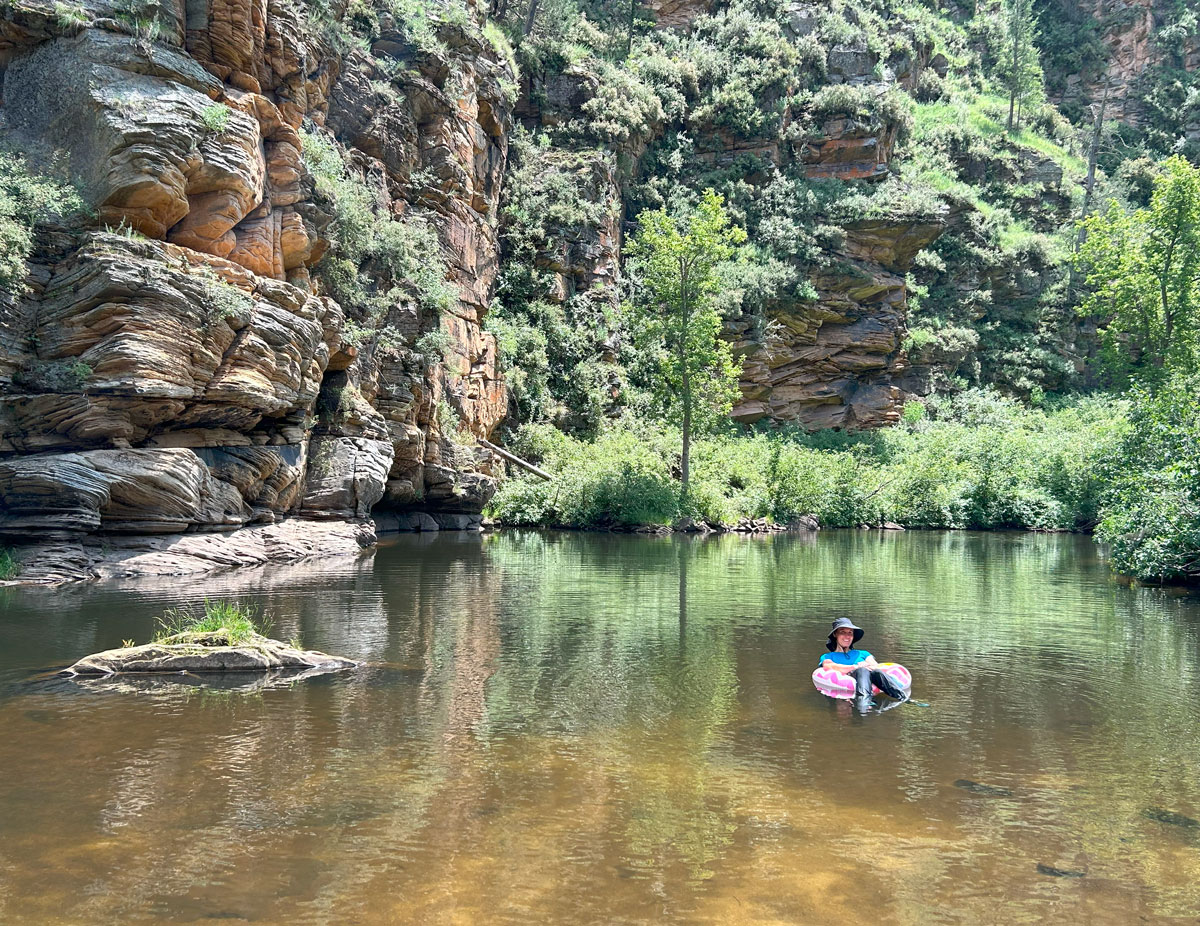
Swimming Hole
When you get near the end, look for a nice, big swimming hole situated between a sandy beach and a tall cliff. Stop here and enjoy a nice dip or float. We carried inflatable tubes the whole way, and there was no way I was going home without using mine!
The track we were following ended another quarter mile down the creek, but while we were enjoying the water, another hiker came down right behind us. He said the trail back to the road was right there, and so we trusted his experience and found the trail heading uphill.
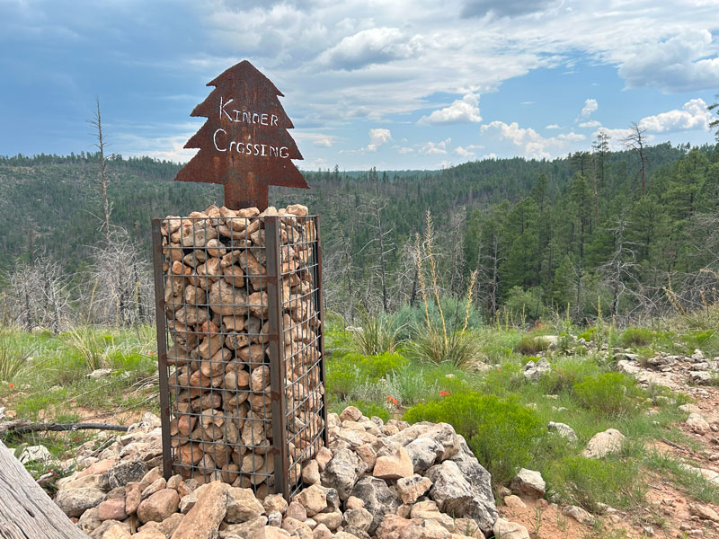
Kinder Crossing Trail
The trail can be faint at times, but it’s generally easy to follow. Sadly, this area must’ve been affected by a fire in the recent past because there was evidence of burn damage.
About three quarters of a mile later, there it was: Forest Road 95T and the Kinder Crossing Trailhead. The fellow hiker had been right, and I’m sure glad we ran into him so we wouldn’t waste time going farther downstream.
From here, follow Forest Road 95T for just over half a mile. This road can be driven with a high clearance vehicle and possibly 4×4, depending on conditions. We saw a decent amount of mud. If you are staging a shuttle vehicle, you can park at the trailhead, or there are other places to pull out along this road before then if you chicken out.
At the end of this road, you’ll intersect with Forest Road 95, which will take you back to your car. Best of luck hitching a ride.
Map & Directions
Location Coconino National Forest, Mogollon Rim, Arizona
Take highway 87 north through Payson, past Pine, to Forest Road 95. Turn right, and follow the road about six miles until you cross a bridge. The parking is just past the bridge on the right.
Fees/Passes None
Trailhead Facilities None, but I have to say the parking lot is nice
Preview this Hike
Recommendations for you
Water Wheel Falls | Payson
Fossil Springs (Bob Bear) | Payson
Bull Pen Swimming Hole | Camp Verde
Leave a Reply