Monument Canyon
TRAIL STATS
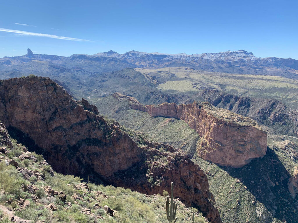
Nestled between its more famous neighbors, Flatiron and Broadway Cave, Monument Canyon provides an interesting look into history. You’ll visit the remains of a homestead belonging to a German miner from the early 1900s. If you’re the more adventurous type, you can find his mine and some of the wreckage of an aircraft that crashed there in 1948.
Trail Description
You’ll begin at the Broadway trailhead here there are about 10 parking spots for cars. The trail starts off with a gentle incline as you make your way through an impressive field of saguaro cactuses on Jacob’s Crosscut Trail. Don’t get too distracted by their endless variety of shapes because the trail is rocky and just waiting for the chance to make you eat dirt.
The magnificent saguaro cactuses along the Jacob’s Crosscut Trail
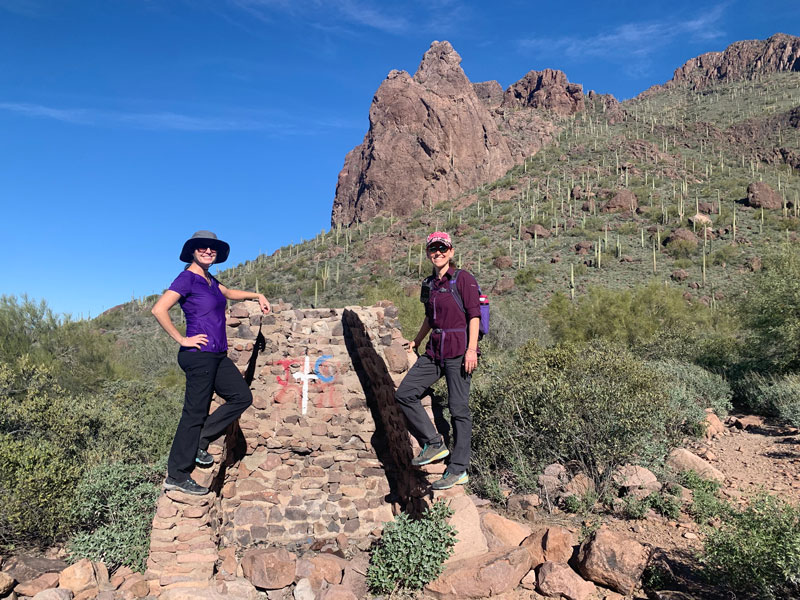
You’ll have plenty of company on the trail, and that old man ahead is probably going to ask you if there’s a party going on. Yeah, there is. It’s at Broadway Cave, and the trail there is currently marked by the biggest, most garish cairn you’ve ever seen, with a giant stick coming out of the top as if to scream, “The party’s over here everybody!” You can just smile to yourself knowing that you’ll get some peace and quiet as soon as the crowds fork right.
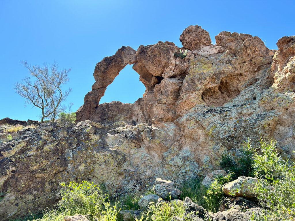
Homestead Ruins
At the next fork, follow Monument Canyon Trail to the right, and it will take you directly to the remains of the German miner’s homestead. All that is left is a chimney (currently vandalized by someone whose love for Jesus Christ apparently leads them to spray paint historic structures–??) and some metal objects.
If you’re the type of hiker who likes a trail, this is the end of the adventure for you. Get your photo shoot and head back the way you came. In all honesty, Broadway Cave is pretty cool, even with all the people, so you could stop by on the way back. But, if you’re up for a bigger adventure, check to make sure everyone is wearing pants. If not, this is still the end of the adventure for you. For real.
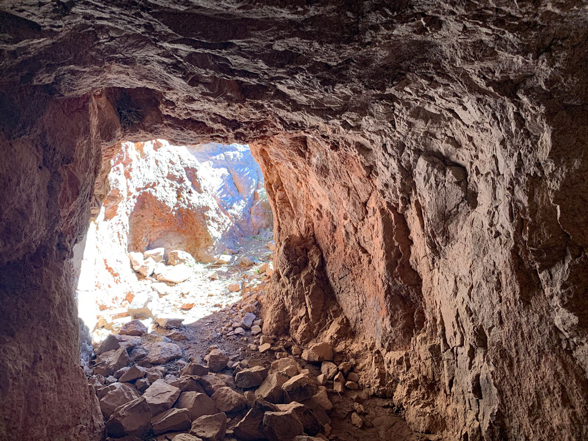
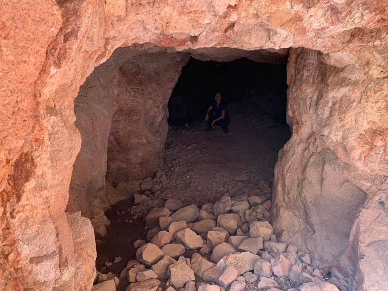
Mine Shaft
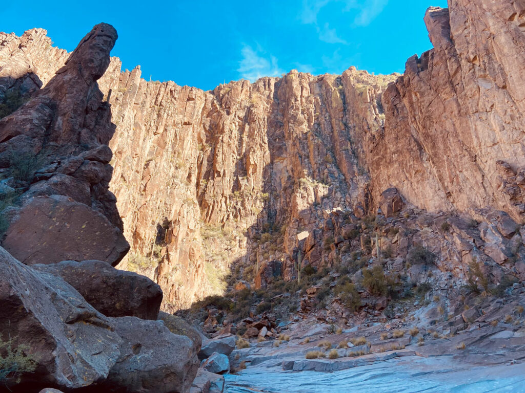
If everyone has pants, and if you have the GPS map downloaded so that you can actually find the mine, head northwest from the chimney over to the wash and make your way along whatever animal trails you can find that go in the right general direction. Do not try to follow my track exactly or you’ll eventually be asking, “Are you serious right now?!” And I already get enough of that kind of heat from my friends. The good news is that the mine isn’t too far off, and it’s pretty cool.
If that bushwhacking was enough for you, turn around now. It doesn’t get better. But if you’re brave enough to move on, keep heading up Monument Canyon, following the wash, animal trails, and rocky areas whenever possible. Watch for webs, and I’m saying that because there were some bees and catclaw along the route, but nothing strikes fear in me like a giant, harmless web.
Plane Wreckage
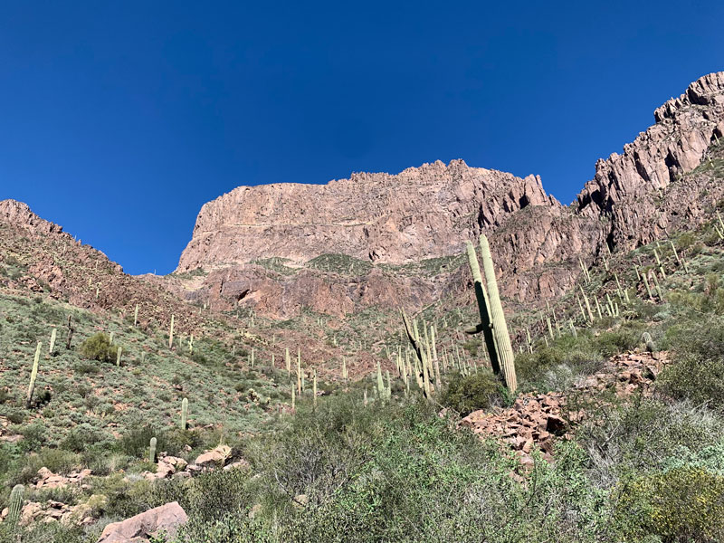
Farther up the canyon, the wreckage from a 1948 plane crash can be found strewn about. We followed the west (left) fork of upper Monument Canyon, and we were only able to see one large piece of wreckage glistening in the sun high above the canyon in a ravine. It was a bit disappointing, but I marked the spot where we stood to view that one piece. Nevertheless, you’ll enjoy a unique perspective of my first Superstition love, Flatiron, towering above you.
When I got home, I did a little more research and found out that most of the wreckage is in the eastern fork and on top of the ridge that separates the two forks, and I knew I needed to go back another day. Ah, the adventure never ends.
P.S., if you decide to try the eastern fork, send us a trip report!
Map & Directions
Location Superstition Wilderness, Tonto National Forest, Apache Junction, Arizona
Take the US60 to Mountain View Rd. Go north to Broadway Ave. and turn right. Follow the road to the Broadway trailhead parking area.
Trailhead Facilities None
Preview this hike
Recommendations for you
Geronimo Head | Superstitions
Hackberry Spring Loop | Superstitions
La Barge Box Canyon | Superstitions
Leave a Reply