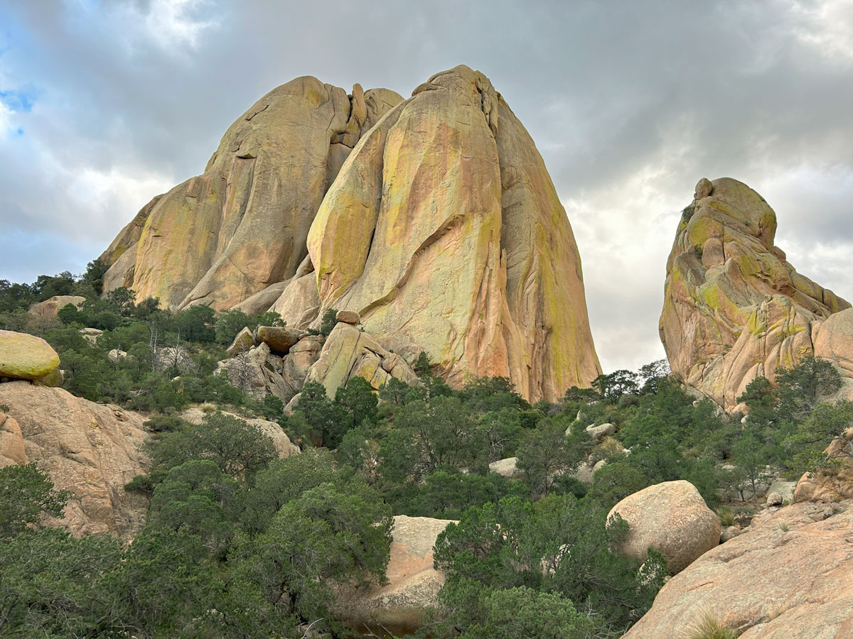
Rockfellow Dome
TRAIL STATS
Some call Rockfellow Dome the finest slab of rock in Arizona, and indeed it’s an impressive monolith that’s popular with rock climbers. Even if you’re not a climber, you can take a short hike to the base. Along the way, you’ll see interesting rock formations and enjoy views of the valleys on both sides of the mountain. Even though a rope is not required, you will likely need to use your hands in some spots, and the trail crosses slanted terrain with drop-offs that some people find unnerving. Only experienced hikers should attempt it.
Trail Description
Between Benson and Willcox on the south side of Interstate 10 lies the Dragoon Mountains, a small, unassuming range with a lot of history. It’s here that the Chiricahua Apache leader, Cochise, used the canyons that bisect the range as a refuge for his people in the 1860s.
This hike is near the area known as Cochise Stronghold, and the parking is on the left side of Ironwood Road as you’re driving in. From the trailhead parking area, cross the road to find the start of the trail. Although it’s not marked, it should be obvious.
Rockfellow Dome Trail
The trail starts through a rocky landscape dotted with yucca and scrub oak. Although the trail is rugged, it should be obvious enough to follow. At least on this part. The incline starts out gradual, increasing steadily as you go.
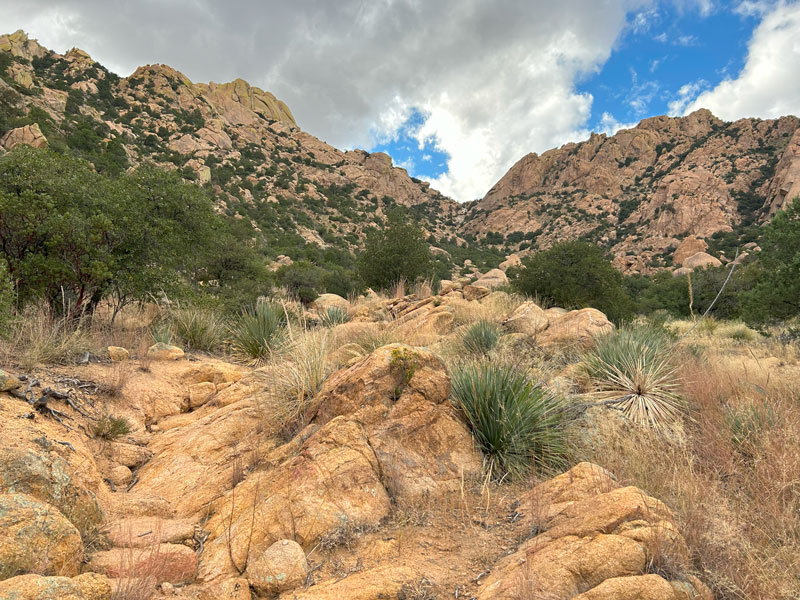
As you look ahead, you can see an obvious saddle—that’s where you’re headed.
The rock cairns are few, and you might lose the trail a time or two. Just when it seemed the trail abruptly ended in the drainage, there was a nice fellow sitting there to point to the trail going up the left side. Generally, you’ll follow the drainage, sometimes following along the left side, and sometimes being right in it.
As the drainage begins to narrow toward the upper reaches of the canyon, the terrain becomes a little more challenging.
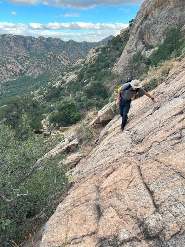
The path crosses a slanted slab of rock, and you have to find a crack to follow for the best footing. Luckily, the rock is rough and gives your feet good grip. After reading the reviews for this trail, I thought it would be much worse, but we are experienced hikers and rock climbers. So, you just have to assess for yourself how comfortable you will feel on terrain like this.
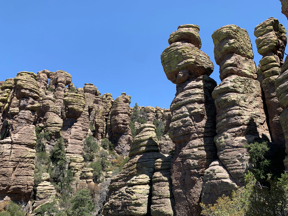
Once you reach the saddle, the trail flattens out a bit, and you’ll be following a wash. Up here, you can see a lot of really cool rock formations ahead and to your side.
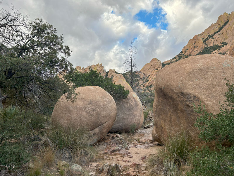
Yes, that huge one on the left is your target: Rockfellow Dome!
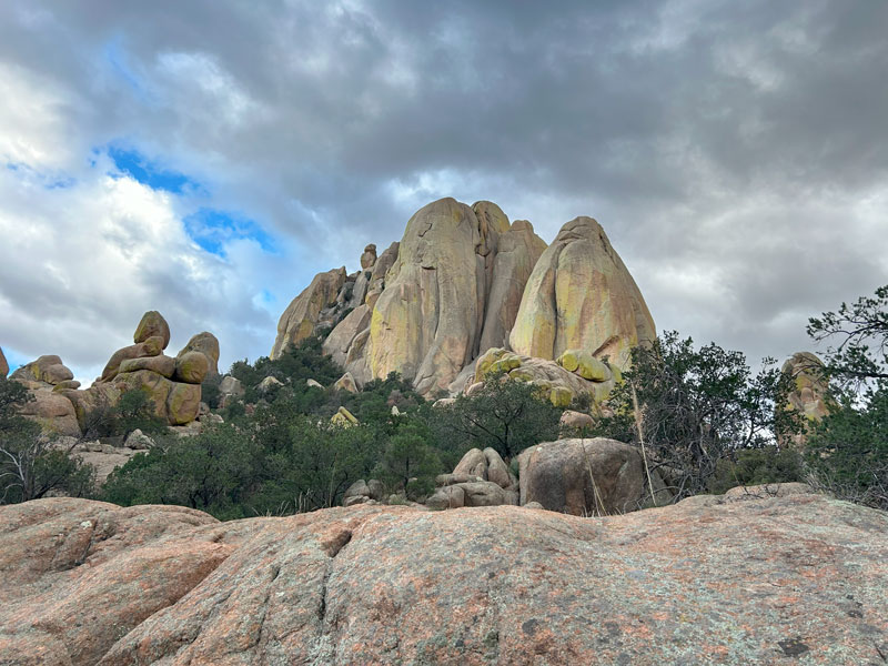
It’s going to feel like you’re passing Rockfellow Dome as you continue along the trail. Have patience. Soon the trail will make an almost 90-degree bend left and head for the base.
Along the final stretch, it can be hard to stay on the route. We had to go back and reassess a couple times, and the one cairn we found seemed to lead us astray. If you’re on the right path, though, it shouldn’t be too difficult to get there.
Rockfellow Dome
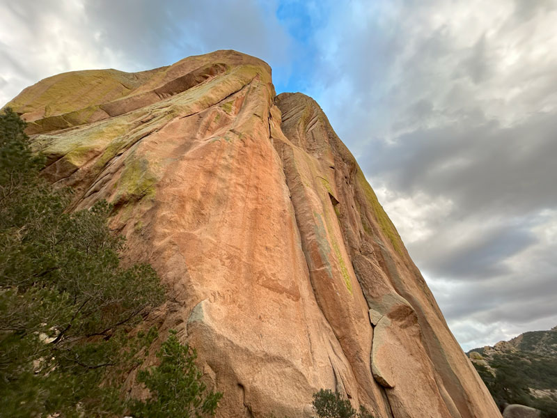
It needs no introduction, and you really can’t miss it. Tiny mortal, welcome to Rockfellow Dome.
From there, you’ll get an awesome view of the other side of the mountain. If the bear saw this when he went over the mountain, I think it was probably worth it.
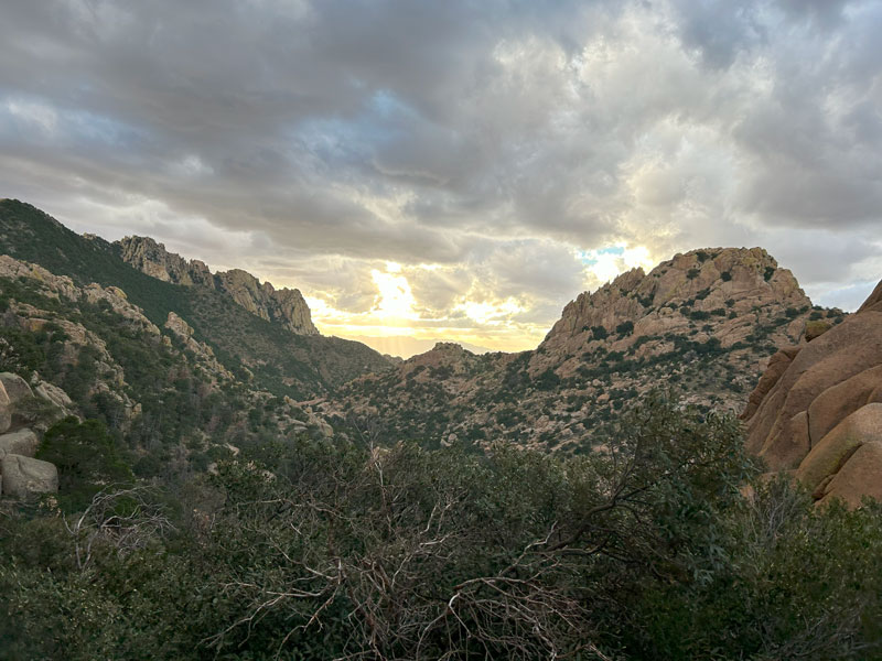
You’ll also probably enjoy a nice breeze up there, or a slight hurricane, depending on conditions that day. The wind funneled right up that canyon, and tried to blow me off the boulder I was standing on. Not today, wind!
Exploring Farther
Of course, we couldn’t help but want to explore a bit more. We circled Rockfellow Dome in a clockwise direction until we found an opening where we could get up higher (not shown on the map). This part was extra sketchy, and only those with mad adventure skills and maybe a dose of insanity will be interested. You know who you are.
We did some crawling under boulders and light stemming before deciding it was too late and too stormy to try to get any farther up. Also, we thought it was probably stupid anyway.
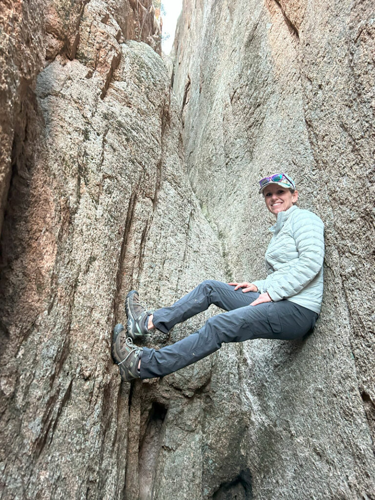
But since we are kind of stupid, we decided to try to get onto a rock “balcony” that we saw, and then make our way down uncharted territory back to the trail. So yeah, we slid, we held onto branches for dear life, and we probably swore. Not recommended unless you’re really trying to get an adventure story for the kids back home.
And this, my friends, is why we find ourselves out after dark on a hike that should’ve been done an hour ago. It was definitely harder to stay on trail in the dark, and we found ourselves cliffed out a time or two.
But, check out this awesome photo of the full moon rising up behind Sunsites, Arizona.
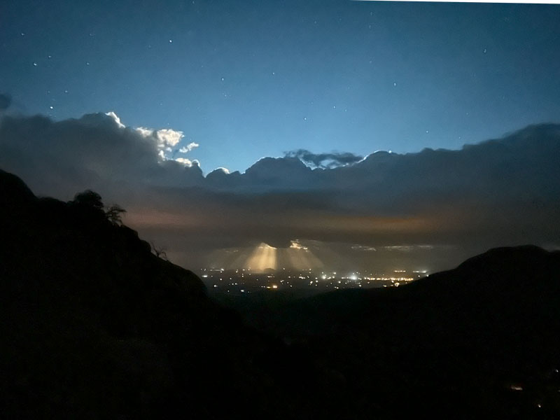
Sometimes we are rewarded for being a little crazy.
Camping
Cochise Stronghold Campground
The area where this hike begins is near the Cochise Stronghold Campground, which is maintained by the Forest Service and is located at the end of Ironwood Road. Picnic tables, fire rings, pit toilets, and trash bins available. No water. First come, first served.
Free camping
If you don’t need any campground facilities, there is also a free camping area. From the trailhead, go north on Ironwood Road and turn left on Hunt Road. This dirt road features several campsites. This area is marked on the map below.
Rock Climbing
There are several rock climbing routes on Rockfellow Dome, ranging from 5.6 to 5.11. There are also loads of phenomenal routes in the area. See Mountain Project for more details.
Map & Directions
Location Dragoon Mountains, Coronado National Forest, Arizona
From Benson, Arizona, travel east on I-10 and take exit 318. Keep following it through the little town of Dragoon and then turn right onto Cochise Stronghold Road. Turn right onto Ironwood Road, and follow that to the parking area. The road is dirt, but it should be passable in any vehicle.
Fees/Passes None
Trailhead Facilities None

Leave a Reply