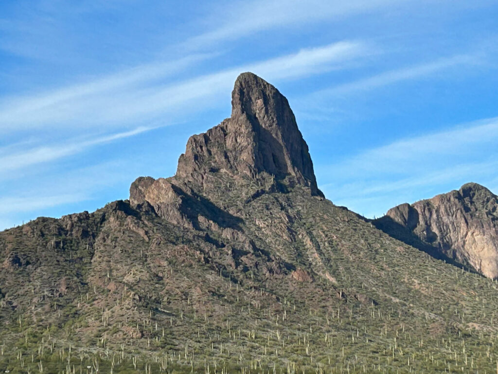
Sombrero (Safford) Peak
TRAIL STATS
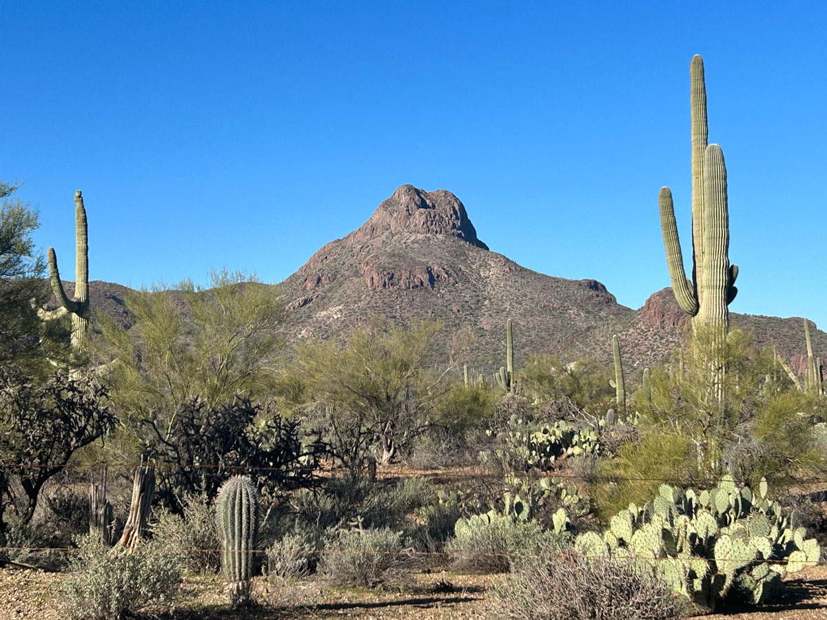
Sombrero Peak, also known as Safford Peak, is an easily recognizable peak within the western region of Saguaro National Park that looks true to its name. Though the trail is not an official trail of the national park, it is obviously well-traveled and easy to follow. The first part of the hike is fairly easy, but soon you’ll be heading steeply up its flanks and then scrambling up to the rocky peak. It can be slippery at times because of loose rock, but anyone who enjoys a challenging hike will find it doable.
Trail Description
Scenic Trail
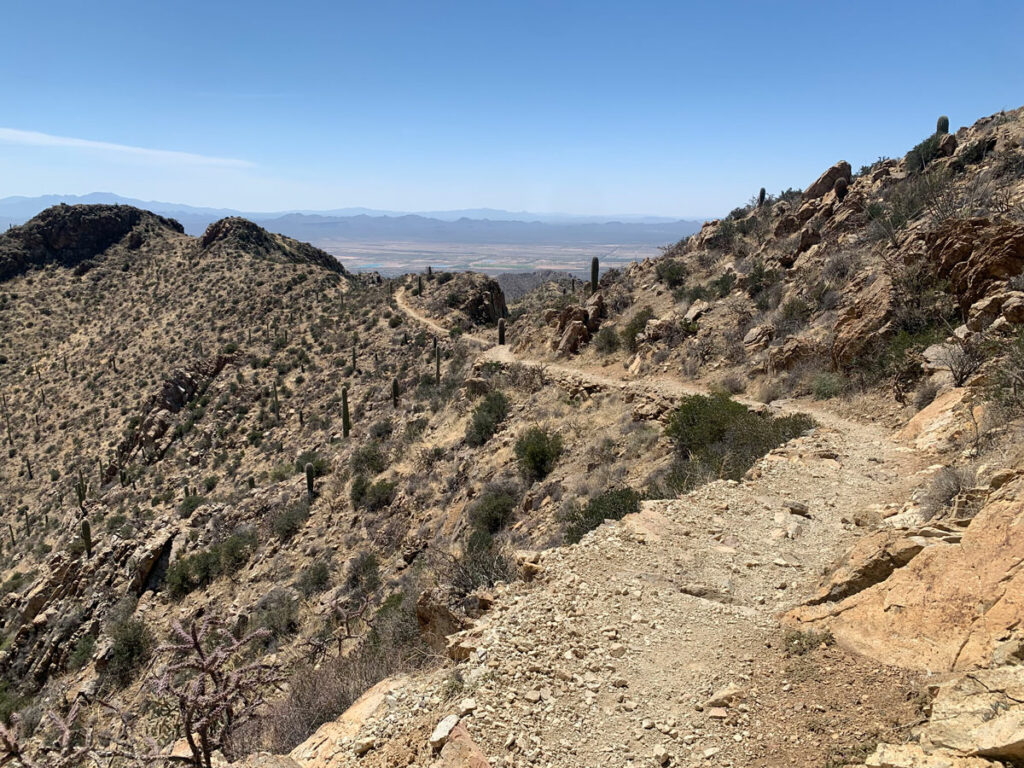
From the trailhead, take the Scenic Trail uphill toward a small rocky formation then keep right at the junction with Packrat Trail to stay on Scenic Trail. This trail seems to head away from Sombrero Peak, but you’re going the right way, and soon it’ll turn back toward the peak.
Sombrero Trail
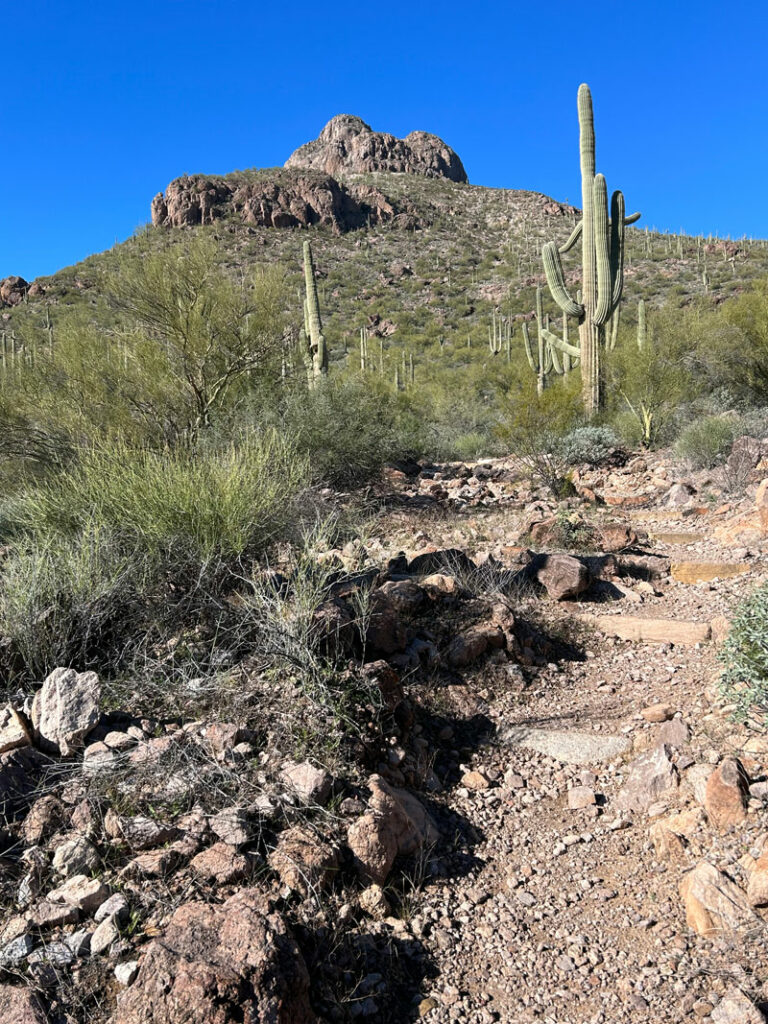
Continuing along this trail, watch for an obvious trail that branches off to the right. This trail is not an official trail and isn’t marked, but there is a sign there trying to keep you on the Scenic Trail. Once you make the turn, Sombrero Peak is dead ahead.
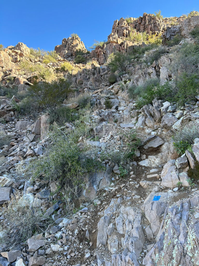
I expected the trail to be rough since it’s not an official trail, but look at those nice steps someone made for you! Nice! Don’t get too used to them, though. As you get closer to the peak, you’ll really be wishing they were there.
The trail begins getting a bit steeper as you pass a series of saddles that will offer good resting spots where you can enjoy the nice views.
Soon you’ll get close to the peak and wonder how the heck you’re getting up there.
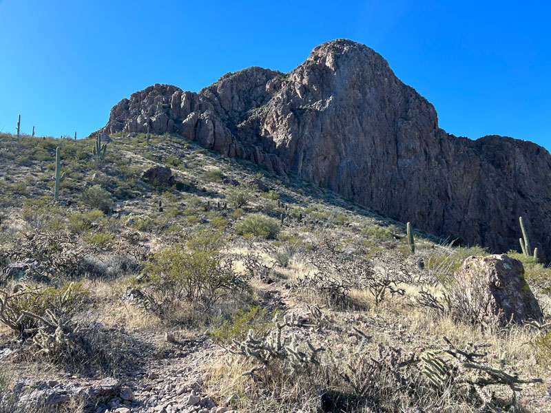
The trail goes around the left side of the peak along really cool section with steep drop-offs to your left and the peak jutting up to your right.
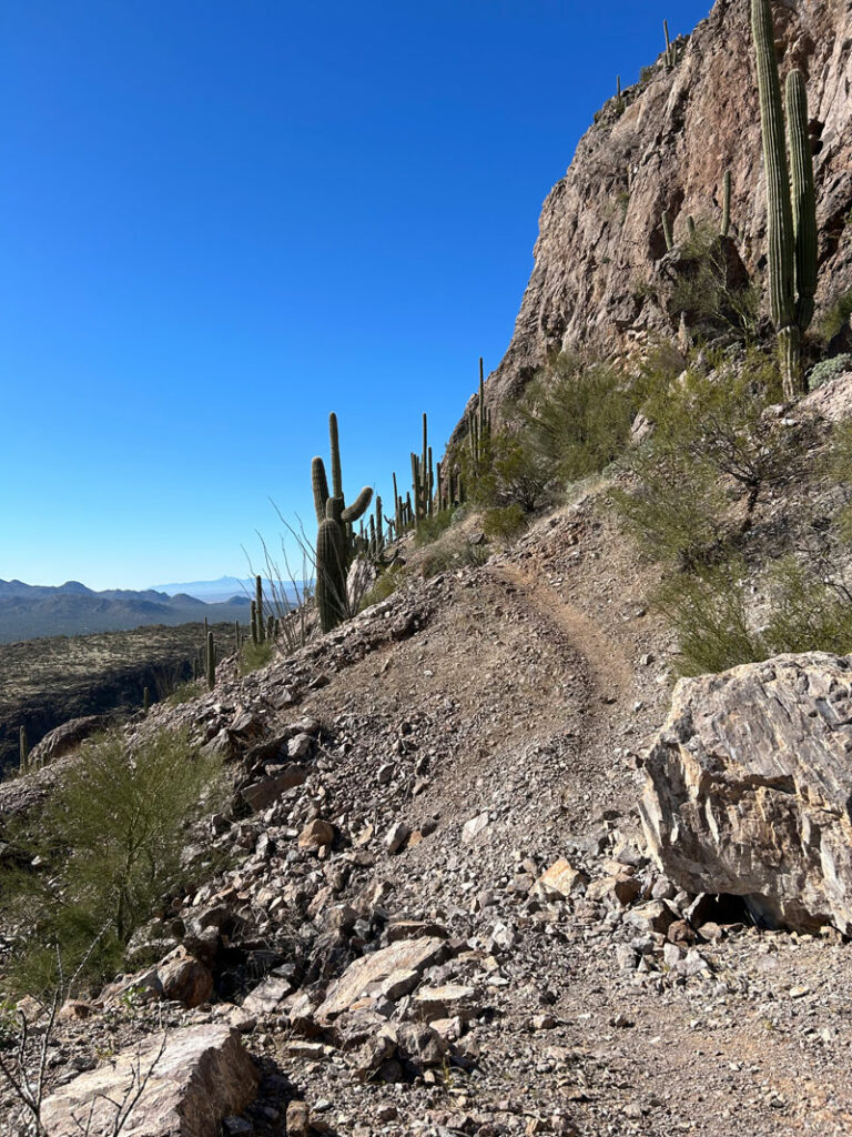
The trail kind of goes in a spiral around the peak until you finally get to the final push up to the top. It’s rocky, loose, and you’ll likely need your hands to help you up. If you’re like me, you’ll be thinking the hike back down is going to be a little sketchy. Yep.
Sombrero Peak Summit
Once you get on top, it’s just a short walk along the ridge to the summit. Although the city takes away from the view a little, the surrounding mountains make for a nice summit view.
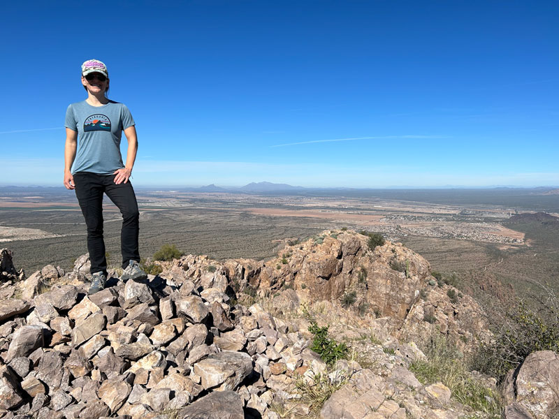
We only saw two other people up there on a Sunday morning, which surprised me because it was a perfect, challenging hike with an interesting trail to the rocky summit.
Map & Directions
Location Saguaro National Park, Tucson, Arizona
From I-10 take the Twin Peaks exit and head west. Turn left onto Scenic Drive, and follow it to the trailhead at the end.
Fees/Passes You must purchase an entry pass for Saguaro National Park or use your America the Beautiful Pass.
Trailhead Facilities None
Recommendations for you
Blackett’s Ridge | Santa Catalina Mountains
Wasson Peak | Saguaro National Park
Picacho Peak | Tucson
Leave a Reply