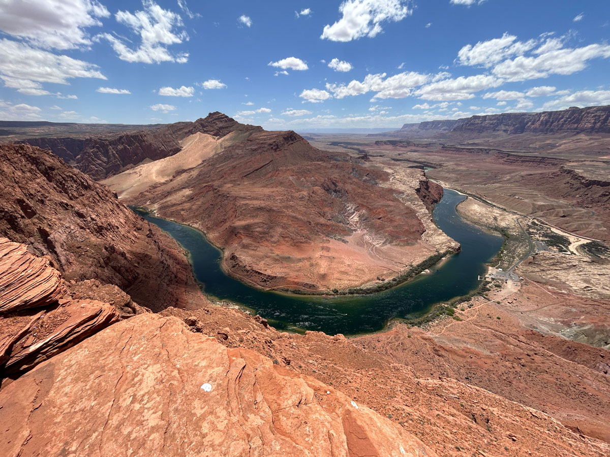
Spencer Trail
TRAIL STATS
Horseshoe Bend without the crowds? Well, maybe not exactly, but Spencer Trail Lookout is pretty close! This steep hike near Lees Ferry takes you up to a high bluff where you’ll have unbelievable views up and down the Colorado River. The trail is well-defined and easy to follow, but those with fear of heights might have second thoughts.
Trail Description
Lees Ferry Fort
To get to the trailhead, follow the Lees Ferry Road as far as you can to the parking lot near the Lees Ferry Fort. An interpretive trail gives interesting historical information about the buildings and mining equipment that remains.
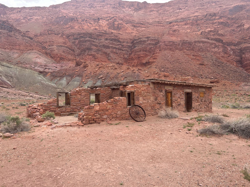
Both the River Trail, which is an easy 2-mile trail that follows the edge of the river, and the Spencer Trail, which travels to the top of the bluff, share this first part of the trail. Follow it until the well-signed fork for Spencer Trail.
Spencer Trail
Standing at the bottom of this trail, you’ll be looking up and wondering how the heck anyone got the idea to climb up there. According to the signage, Charles H. Spencer had this trail built in 1910 so that his mules could bring fuel from a coal mine at Warm Creek Canyon to run his machinery at Lees Ferry.
It also warns you that the trail climbs 1500 feet in one mile, so if the view of the cliff above you doesn’t scare you off, this might. I think that’s an exaggeration, honestly, but it is a difficult hike, so be prepared.
The trail is well groomed with nicely cut stairs just where you need them most. As you head up the first set of switchbacks, already you’ll be treated to magnificent views of the river.
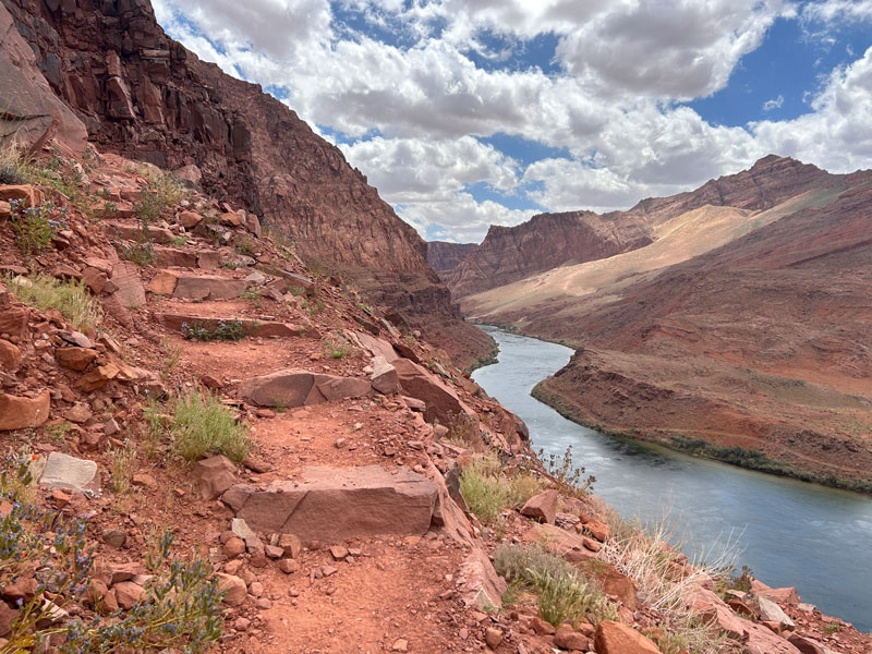
After the first set of switchbacks, there’s a long, relatively flat section that heads back toward the next set of switchbacks. This provides a nice reprieve from the climb.
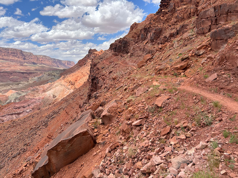
Those with fear of heights might hesitate here because you do have a cliff to the side, but the trail is very good, and I never felt unsafe. Use your best judgement.
Next you’ll encounter another set of switchbacks, followed by another relatively flat section that leads back toward the river, and probably some other hikers reassuring you that the hike is worth the struggle. They’re not wrong.
By the time you reach the third set of switchbacks, you might be thinking, “That wall doesn’t seem to be getting any smaller. Does this hike ever end?” But as you start up that last set of switchbacks, you start to see hope. Get excited, people, because that magnificent view is within your grasp!
Spencer Trail Lookout
Once you top out on the bluff, you might find a useless piece of wood sticking out of a huge pile of rocks with no explanation. Annnnnd the trail kind of peters out. The couple in front of us disappeared there, and we never saw them again. So mysterious.
Luckily, I had my GPS unit, which marked the lookout to my right. You might find a faint use trail leading up there, but basically the idea is to follow it out to the edge.
OH YEAH, BABY!
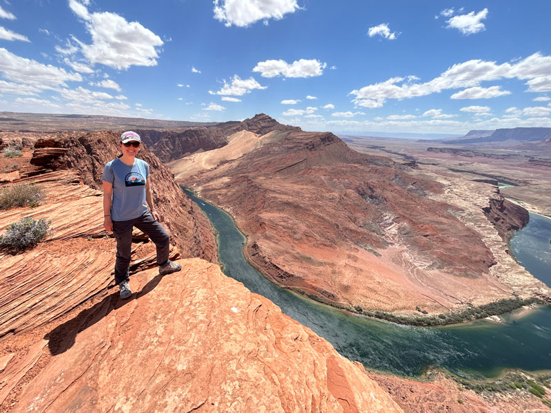
Wanna go to Horseshoe Bend now? Didn’t think so.
Map & Directions
Location Lees Ferry, Glen Canyon National Recreation Area, Page, Arizona
From Highway 89, take Highway 89A toward the north rim of the Grand Canyon. At Marble Canyon, turn right onto Lees Ferry Road and follow it to the very end.
Fees/Passes You can pay a fee at the fee station on the way in or use your America the Beautiful Pass
Trailhead Facilities Restrooms available, potable water available
Download KML or GPX

Leave a Reply