Sunrise Peak
TRAIL STATS
Sunrise Peak is a quick workout hike at the southern end of the McDowell Sonoran Preserve with standard desert scenery and nice views of the rest of the peaks in the McDowell range. You can take any number of connecting trails to create a longer hike.
Trail Description
We arrived on a warm weekday at the end of May to find the parking lot completely full, but fortunately there is an overflow just down the road that had plenty of spaces.
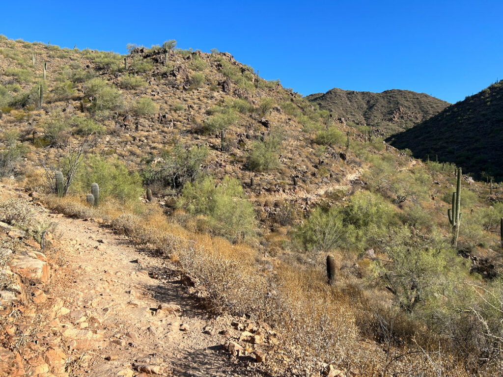
Heading up the trail, you’ll slowly begin to gain elevation as you make your way back between the mountains ahead. It’s super standard desert scenery (blah), but it’s better than the gym, right? Right?
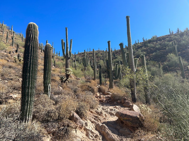
Higher up on the trail, you’ll pass through a magnificent saguaro garden, which kind of makes up for the earlier lack of beauty.
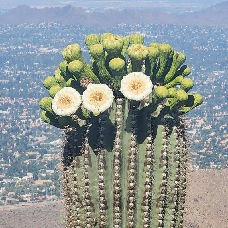
Especially if the saguaros are in full bloom!
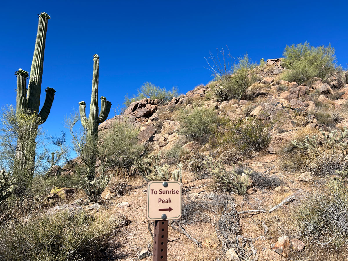
Sunrise Peak is not right on the trail, so you’ll need to keep an eye out for a well-signed spur trail near the top.
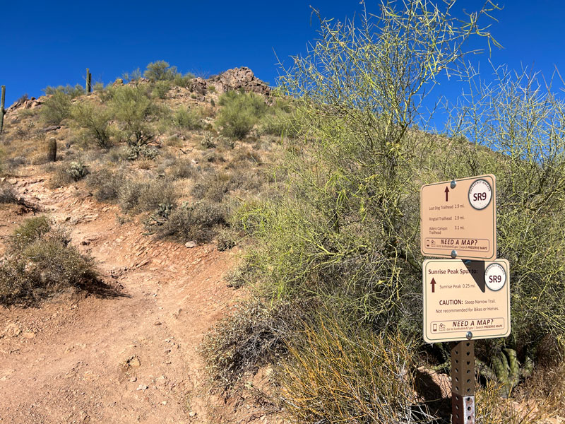
From there, it’s just a few minutes to the top. Enjoy the views!
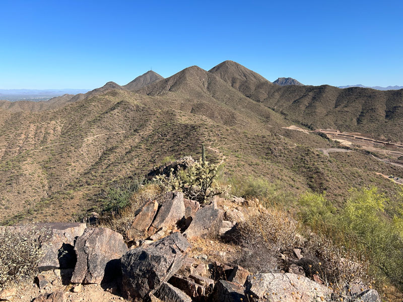
Okay, I admit I only showed you the best view with the rest of the McDowell range in the distance. You’ll have lots of city views from up there, and there might still be construction in Adero Canyon, but hey, at least you’re not at the gym!
(PS – there are better hikes in the McDowells. . . see the recommendations below!)
Map & Directions
Location McDowell Sonoran Preserve, Scottsdale, Arizona
Take Loop 101 to Shea Blvd and head east. Turn left on 136th street and then right on Via Linda. The trailhead will be just before a gated community on your left. Overflow parking is available just south of there on Via Linda.
Fees/Passes None
Trailhead Facilities Water

Leave a Reply