Vulture Peak
TRAIL STATS
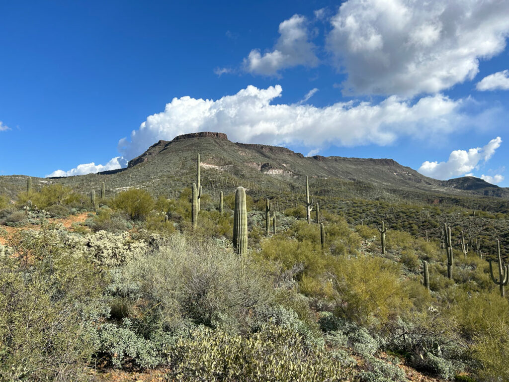
Just when you thought Wickenburg had nothing to offer, Vulture Peak comes up on your radar. Though the hike up to this craggy peak gets really steep at the end and requires the use of both hands and feet, you’ll be rewarded with views for miles.
Trail Description
Parking
The first order of business when planning this hike is figuring out where in the heck to park. AllTrails marks one possibility, but the map shows another spot farther down the road that’s labeled “Vulture Peak Trailhead.” Seems obvious, right? WRONG! As of April 2024, there is construction going on in the area, and a sign said some of the Vulture Mountains Recreation Area will be closed for improvements until April 2025. So for now, your best bet is to park alongside the road before the guardrail. See this site for information on the project.
Here’s where it gets a little more interesting. We noticed a road departing the parking area and heading in the direction we wanted to go. From the satellite image, it looked like it would get us closer to where we wanted to be, so we decided to drive it. We got about 3/4 of a mile down the road before it got a little too spicy for our comfort, so we parked and walked from there.
And then, when we were just one mile from the peak, we found a dirt parking area with parking spots and signs. We marked this on the map, so those with the appropriate vehicles might be able to work out how to get there using the OHV roads. No guarantees.
Vulture Peak Trail
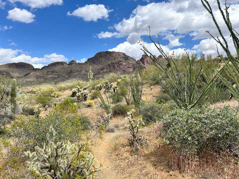
Because this is an OHV area, there is a mixture of roads and trails as you make your way toward the peak. The route we initially got from AllTrails called it a “loop” because the person who created it took one route on the way in and another on the way out, but the trick is that those routes aren’t even the only two available. We started to follow the road after we parked, but then we found a trail that seemed headed in the right direction, so we took that instead to cut off some distance. This is to say that there’s no “right” way to get there, as long as you’re roughly heading toward that imposing peak in the distance.
No matter which way you choose, you’ll want to make it to the spot marked “Signs” on the map I provided below. From there, it’s a legit trail to the peak.
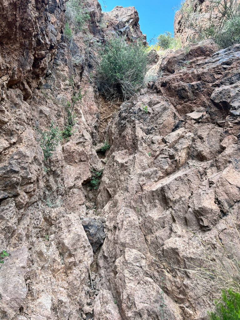
Follow the trail as it heads toward the impressive peak ahead of you. When you get close, the trail will start up a series of switchbacks and get significantly steeper as it makes its way up to the saddle.
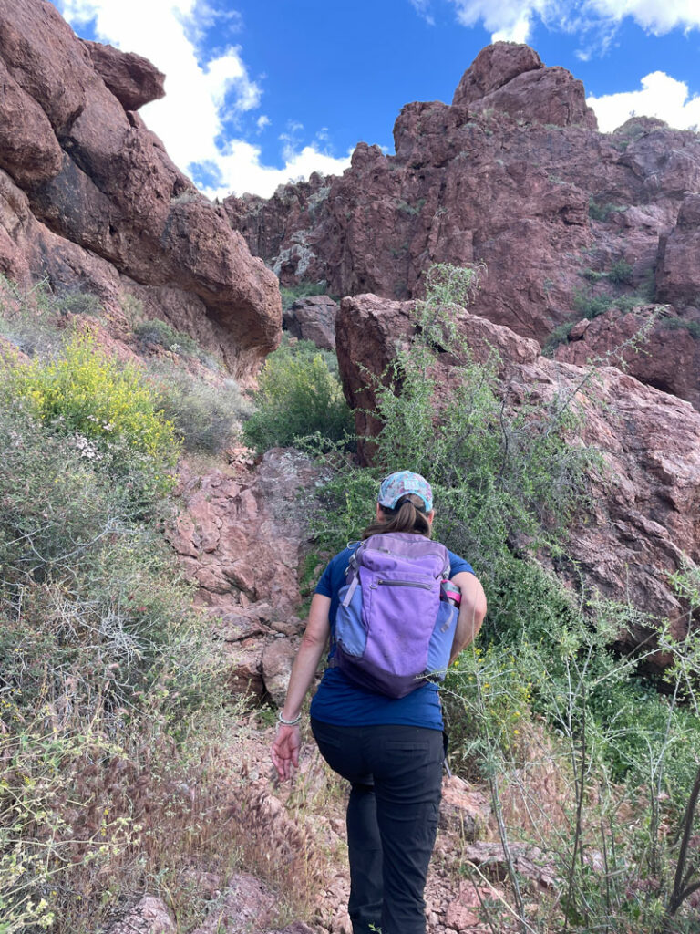
This part is steep, for sure, but you won’t really need to use your hands much until you get past the saddle.
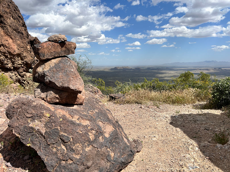
The Saddle
There’s an absurdly large cairn marking the saddle, and those who are uncomfortable scrambling up to the peak can end their hike here.
For some unknown reason, the AllTrails track ends just a short distance beyond this point, well below the peak. Yes, you will have to use your hands to get up there, but it’s not terribly difficult or exposed.
You’ll know you’re just about there when you see “Laurie was here” emblazoned on the side of the peak. What the heck, Laurie? Put down the spray paint, you vandal.
Vulture Peak
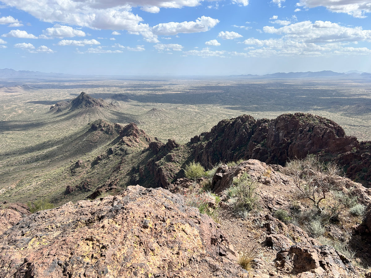
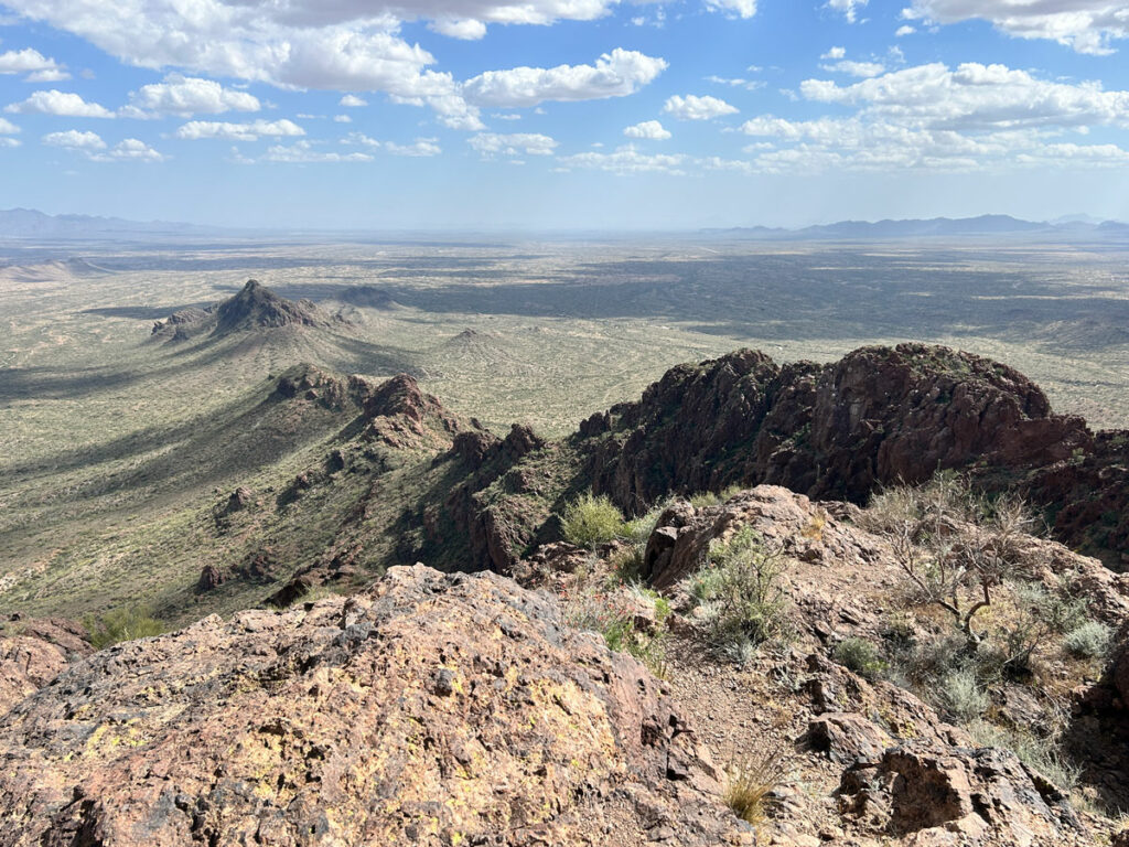
At the top, you’ll find three geological markers and a nice spot to sit and relax. Off to the south, the rest of the ridgeline descends into the valley below.
All those white spots on it? Bird doodoo. And then it hits you why the name of this peak is so appropriate.
We didn’t see the ammo box with the summit register until we were just about to leave, and that led us to a slightly different way down. It was much easier at first than how we came up, but it still had one slightly sketchy spot.
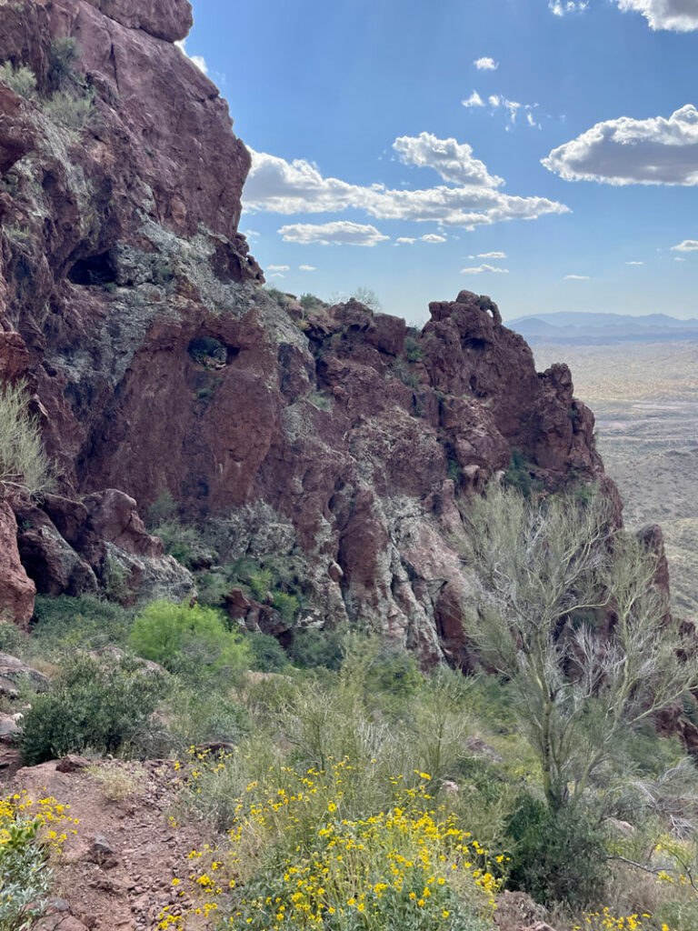
On our way down, just as we were getting below the saddle, we noticed two arches off to the left. Can you spot them?
The cragginess of this peak, with all its cool rock formations, made it an unexpectedly awesome hike near Wickenburg. Who knew?
Map & Directions
Location Vulture Mountains Recreation Area, Wickenburg, Arizona
Trailhead located on Vulture Mine Road
Fees/Passes None
Trailhead Facilities None
Recommendations for you
Governors Peak | Wickenburg-ish
Granite Mountain Hotshots | Wickenburg
Skull Mesa | Cave Creek
Leave a Reply