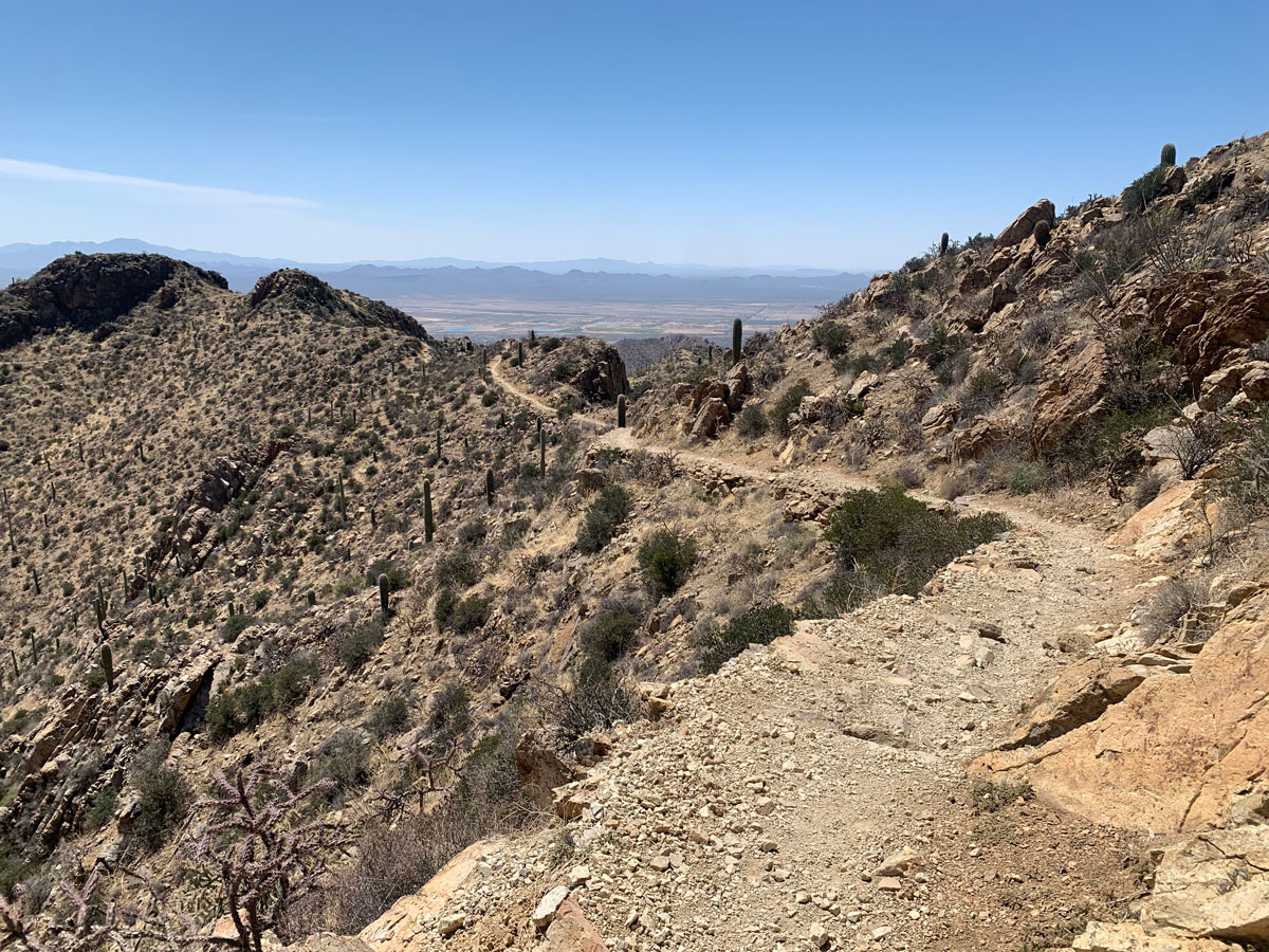
Wasson Peak
TRAIL STATS
The highest peak in the Tucson Mountains, Wasson Peak provides an expansive view of Saguaro National Park and the city of Tucson. Along the way, you will visit the remains of Gould Mine and enjoy spectacular desert scenery dotted with saguaro cactuses of all shapes and sizes.
Trail Description
When the month of April gives you a perfect day in the mid-70s, you absolutely must go hiking! Apparently the great weather was no secret because every space in the parking lot was full when we arrived, so we had to wait for someone to leave.
About three different trails begin in the area, and we descended into the wash and followed the signs for Gould Mine Trail. Being that April is a Gould, we had great expectations and hatched plans to find out if there’s some family inheritance her husband is hiding from her.
Gould Mine
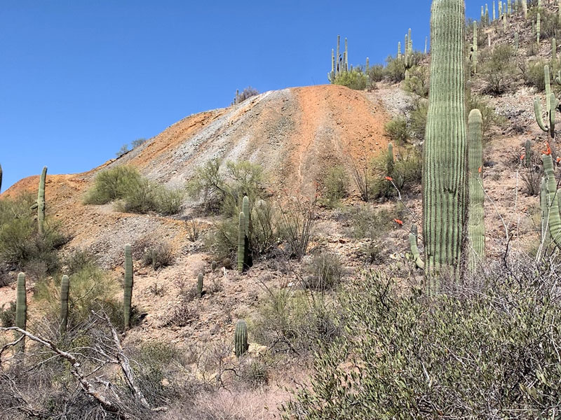
Before long, you will see the remains of the mine up ahead. Take a left at the junction with Hugh Norris trail to go right up to the mine where you can check out the remains of a stone building and look into the mine shaft. It was here that some other women passed us on their way down and assured us the journey to the peak was well worth the trouble. Sweet!
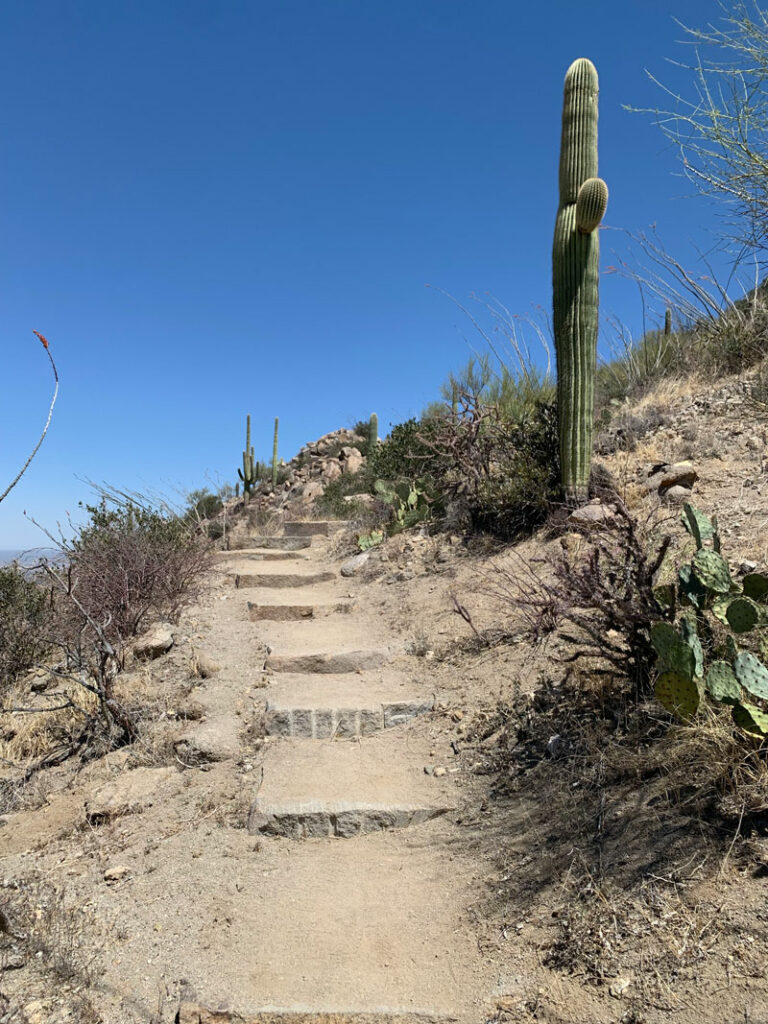
The trail for this entire hike is easy to follow and really well maintained. Where else are you going to get loads of rock stairs made of perfectly cut stones?
Since you’re in Saguaro National Park, you won’t be surprised to find a lot of saguaro cactuses, right? True to its name, there are a LOT of saguaros here, and even we were surprised by the variety and interesting formations. We saw the whale, the snow hat, the peace sign, the balloon animal, and. . . the snowman?
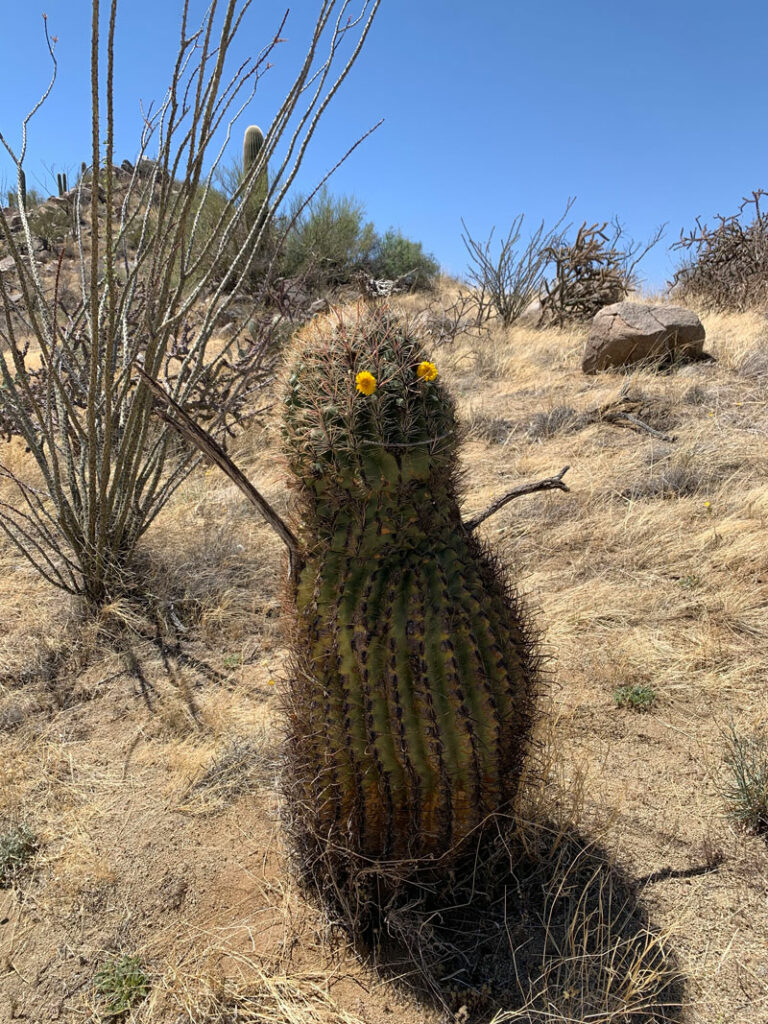
Don’t worry, April didn’t harm the cactus, and I told her to disassemble her creation after she oohed and aahed at it. He seemed so loveable, but we didn’t dare go in for a hug. I love his chubby tummy.
The Summit
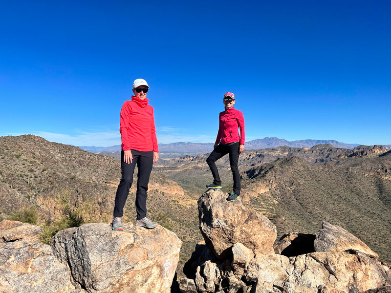
Near Wasson Peak, the Hugh Norris trail intersects with the Kings Canyon trail, and you hang a left to go to the peak. This part is really cool as it crosses a relatively narrow ridge to the peak. You’re almost there! At the top, you’ll enjoy a 360-degree view of Saguaro National Park and the surrounding mountains and cities. It might make you wanna. . .
JUMP!
As you head down, you can choose to return along the Hugh Norris trail, but we wanted to make a loop of it and followed the King Canyon trail (plus, it’s shorter). The desert beauty continued nonstop.
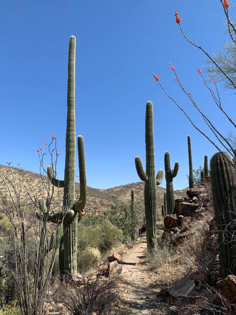
Those cactuses are like seriously perfect. I can’t stop looking. Plus, the ocotillos were in full bloom. Amazing!
On the trail out, you’ll have the option of following our route and exiting by way of a dirt road to the left or simply following the wash. It looked like a lot of people followed the wash, and if you happen to do it that way, drop us a line and let us know how you liked it!
Map & Directions
Location Saguaro National Park, Tucson, Arizona
This hike is located west of Tucson at the King Canyon Trailhead on Kinney Road, almost directly across from the Arizona Sonora Desert Museum. We took the back roads through Marana to get there, but there are several choices.
Fees/Passes Most of this hike is within Saguaro National Park, which requires a fee or an America the Beautiful Pass to enter by foot, but the trailhead is outside the park and does not have a pay station.
Trailhead Facilities No restrooms or water.

Leave a Reply