Foxtrot Canyon
TRAIL STATS
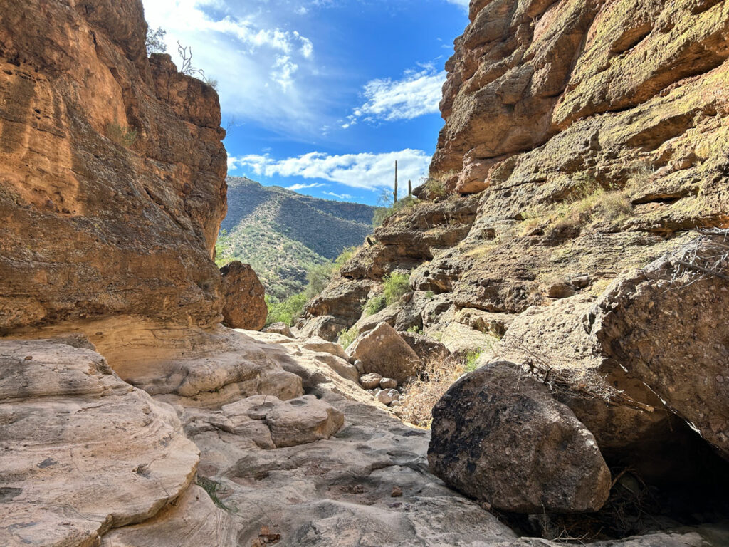
Located in the beautiful Fish Creek area of the Superstition Mountains, Foxtrot Canyon is a short and easy canyon that’s close to the valley. With sheer canyon walls, healthy saguaros, and big views into Fish Creek Canyon, the scenery is top notch. However, the lack of any established trails, the mediocre rappels, and the gobs of overgrown thorny plants make it a subpar canyoneering route.
🪢 This is a technical canyon with five rappels up to 30 feet. A couple of these can be downclimbed if you’re so inclined. You will need one 100-foot rope, plus all the required safety equipment for rappelling and knowledge how to use it. This guide is not intended to provide instruction on how to descend a technical canyon safely.
Trail Description
From the parking area, head down the creek, which may be a wash in dry conditions. The creek is lined with trees that show off their yellow leaves in late November into December.
Watch your GPS unit for the point where you will head uphill toward the saddle. There will be a tall cliff to your left side and beautiful saguaros everywhere.
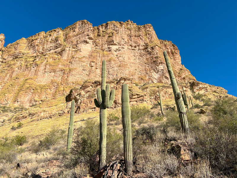
If you’re lucky, you’ll be able to follow a faint game trail every now and then, but mostly you’ll be picking the best way between cactuses, agave, catclaw, and the occasional palo verde. Super fun!
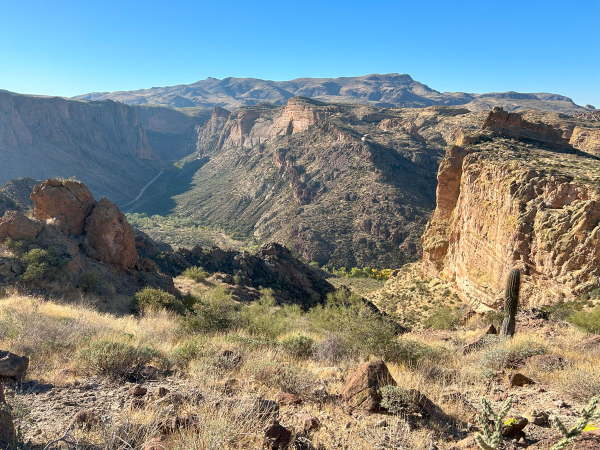
Once you get to the saddle, you’ll have nice views on both sides (hint: check the cover photo on this post), and it will almost feel like it was worth it.
It’s easy to get disoriented here because everything looks the same. What you’ll want to do is get up onto the saddle and then make a hairpin turn to get up on the rocky outcropping to your left. Go in the direction of the edge of the cliff, making your way down the rocky part onto the sloping terrain into a wide, flatter area. Trend toward the right as you continue to follow the contour of the cliff’s edge and approach the edge of the plateau. If you get lost despite my description and your GPS track, welcome to the club.
Wander around a bit more, and hopefully you’ll find your way to this pretty spot where rappel one is.
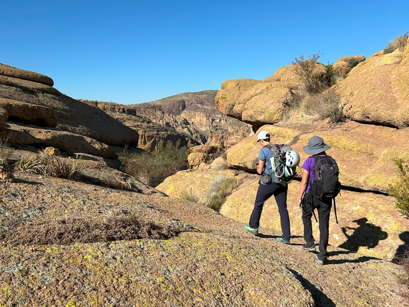
We ran this canyon soon after Apache Trail had reopened after a long closure, and it certainly looked like it hadn’t been run much recently. The webbing was severely sun faded and in need of replacement. As Hillary went to replace the webbing, she asked if I had a cutting tool. “Wait, I thought you brought it!” Turns out, we all had webbing, but no one had anything to cut it with. So we had to make do whenever possible with what was there.
Eek, don’t make our mistakes.
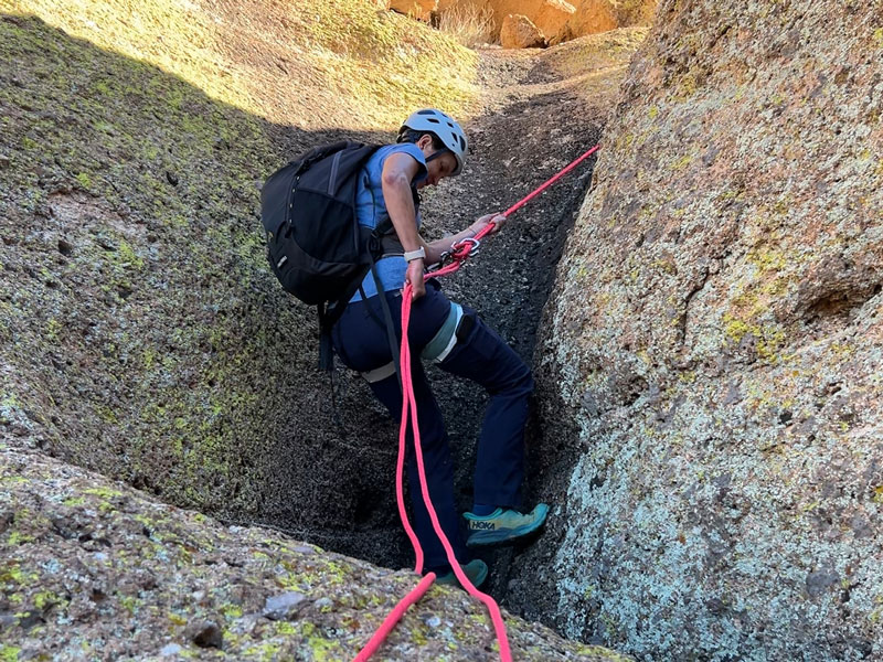
Rappel 1
Length 10 feet
Anchor Boulder
Luckily, rappel 1 was short and almost a downclimb down a little chute.
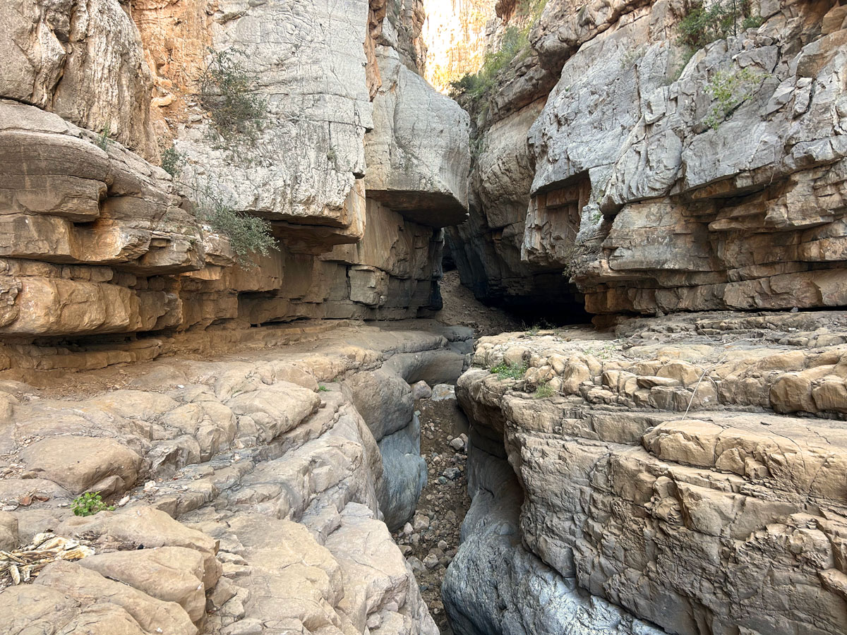
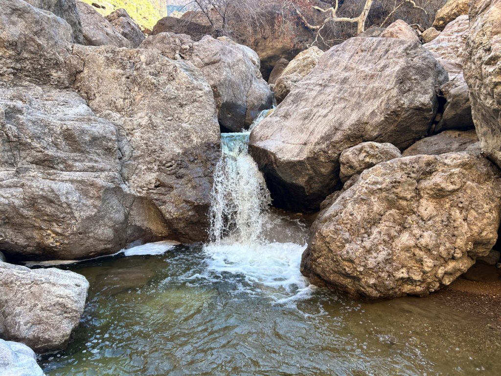
Beyond the rappel, the chute continues down some mini corkscrew narrows. There will likely be at least a little bit of water in some of these, but it’s shallow and probably avoidable.
Rappel 2
Length 20 feet
Anchor Boulder set back from the edge
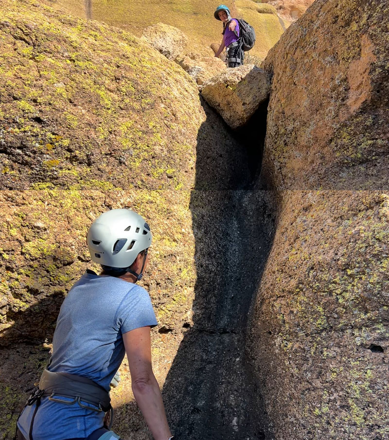
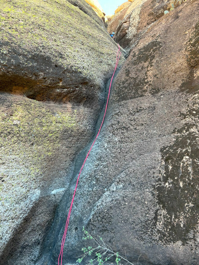
This rappel has a crack over to the right LDC that you can chimney down if you need to. Of course, since we did that to save webbing, I totally forgot to snap a picture of this rappel. Because I love my readers so much, though, I slapped together some stills from the video to create this junky image of it.
Rappel 3
Length 30 feet
Anchor Boulder set back in the watercourse
This rappel was also almost a downclimb, but the drop was at least 20 feet, so we couldn’t risk it.
This is so embarrassing to admit, but since we needed to conserve webbing, we decided we would temporarily anchor this on our webbing. Then our last person down would go on the faded webbing, and the rest of us would. . . catch her? Thankfully, it didn’t come to that, but the next person down this canyon should be prepared with lots o’ webbing (and scissors).
Of course, a canyoneer should always be ready with enough webbing for all the rappels and a cutting implement. But I digress.
Rappel 4
Length 20 feet
Anchor Tree
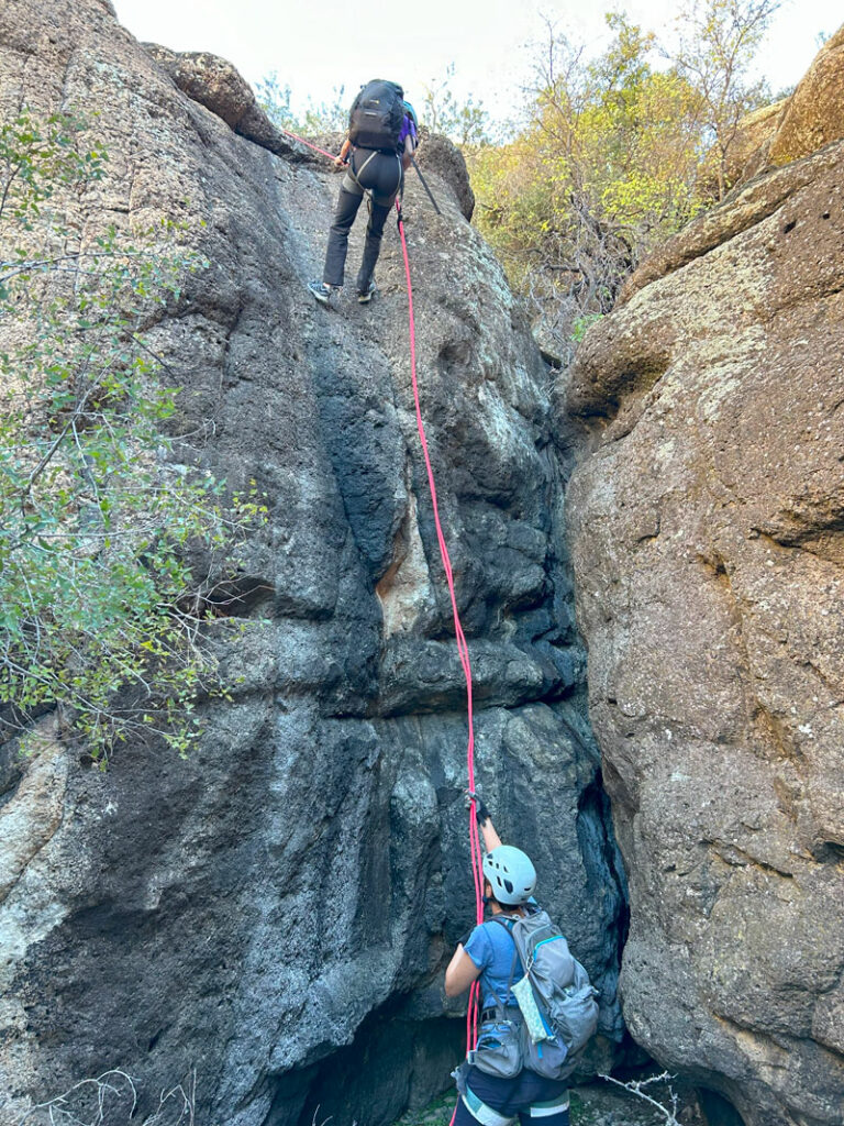
Straightforward rappel that lands right next to a cool little cave. The anchor on this one was in pretty good shape, so we were golden.
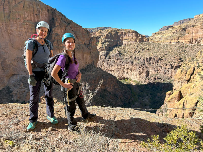
At the point of rappel 5, be sure to walk out to the edge LDC to enjoy the phenomenal view.
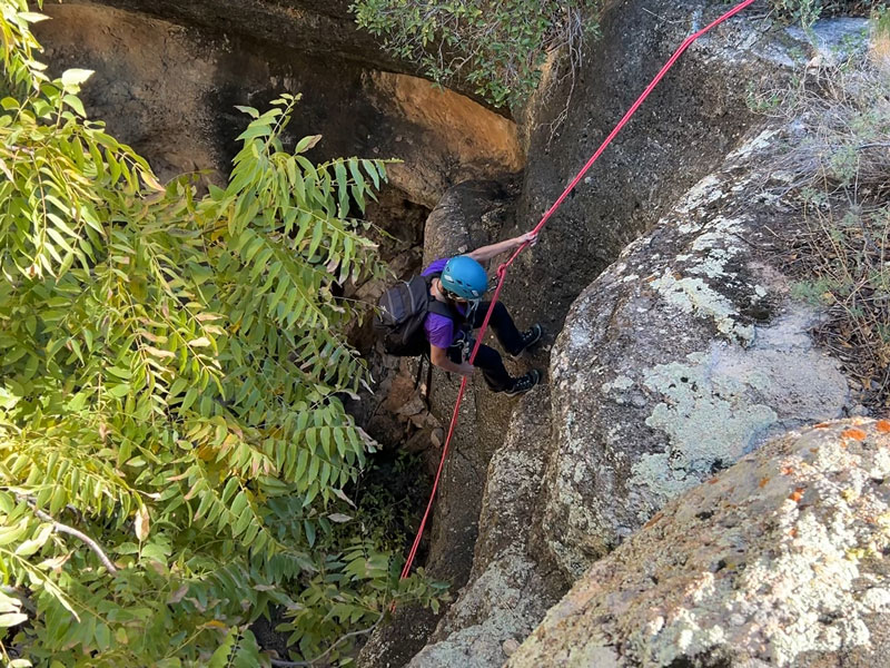
Rappel 5
Length 25 feet
Anchor Tree
At this point, we had no choice but to create a new anchor with our 20-foot uncut purple webbing. Yeah, just bad in all the ways. But if you’re next through the canyon, consider it a gift.
After you finish the last rappel, your trials are not over. Now you have to climb over branches, whack bushes, downclimb boulders, and even swing your legs down over an edge while holding onto a log. Trust nothing that you step on or grab, lest you go down without warning.
Okay, there are some easy parts, too, and some really cool geodes in the boulders. So, it’s not all bad.
It feels pretty good when you finally get to the wash and out of the catclaw forest of doom that is the final gatekeeper of the canyon’s exit. Turn left and follow the wash, at least when trees aren’t choking you out.
The wash becomes wide toward the end, with a couple smaller washes branching off, and several braided streambeds that make navigation tricky. Keep an eye on the GPS or you might end up accidentally passing the parking area.
Map & Directions
Location Superstition Mountains, Apache Junction, Arizona
From US60 take Idaho Road North. Turn right onto Highway 88 and follow past Tortilla Flat. A few miles later, the road turns into dirt, and you’ll go down Fish Creek Hill, over the bridge, and to the parking area.
Fees/Passes None
Trailhead Facilities None

Leave a Reply