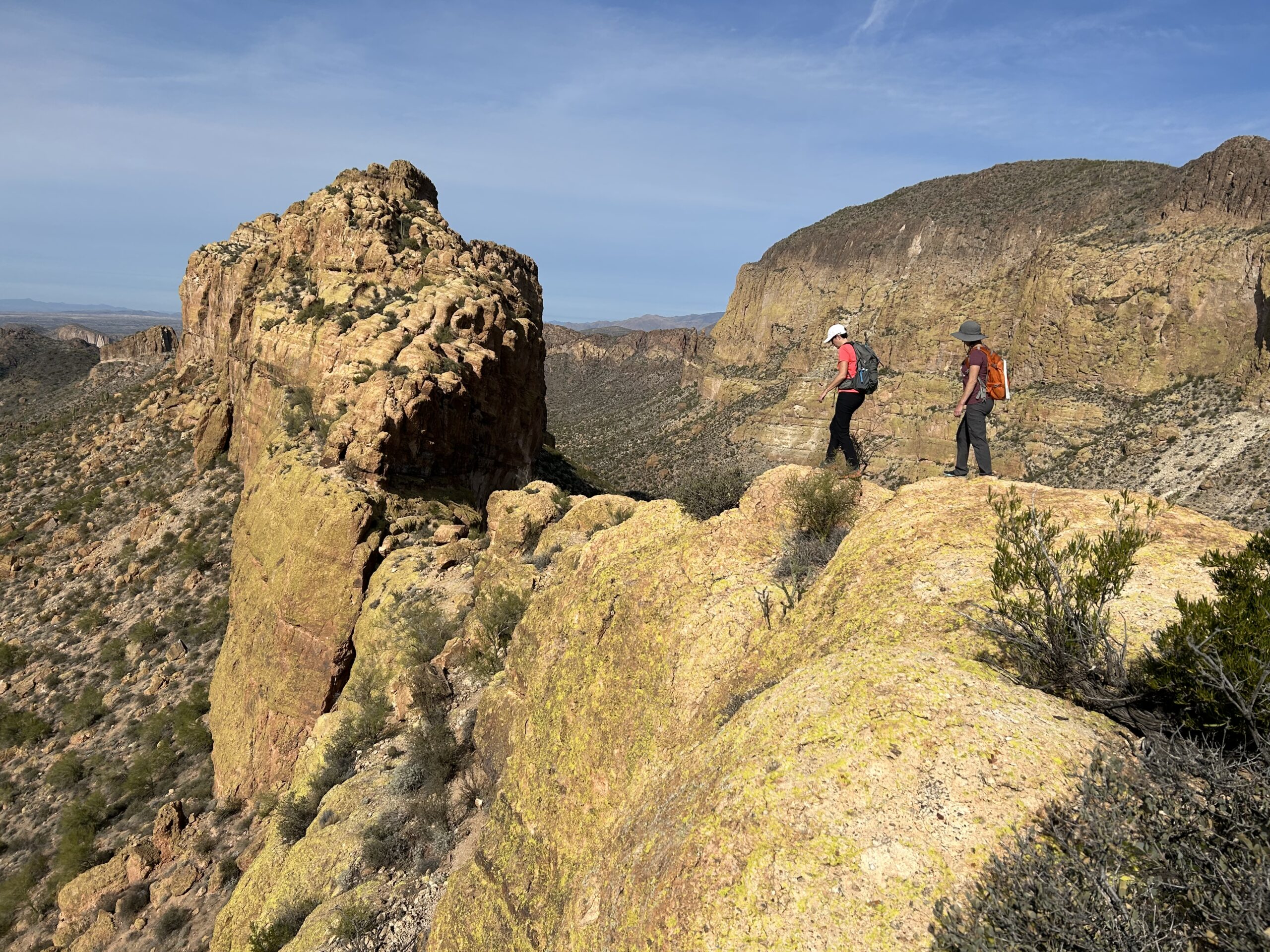
Battleship Mountain
TRAIL STATS
Shaped like a battleship cutting through the Superstition Mountains, Battleship Mountain provides the absolute best views of the wilderness and an exhilarating scramble along remarkable topography. The sheer drop-offs and skinny ridges mean those who are afraid of heights should carefully consider whether to attempt this hike.
Trail Description
There are two ways to approach Battleship Mountain: Boulder Trail to the west or First Water Trail to the south. I’ve done it both ways, and I can say that the Boulder Trail is definitely more beautiful, but the First Water Trail is closer to home and a slightly shorter approach. Whatever you choose, you can’t go wrong. Battleship is the true star here. This guide describes the approach from First Water Trail.
I’m not going to spend too much time on the approach hike anyway. From the First Water Trailhead, you’ll take Second Water Trail down to where it intersects with the Boulder Canyon Trail and take a right.
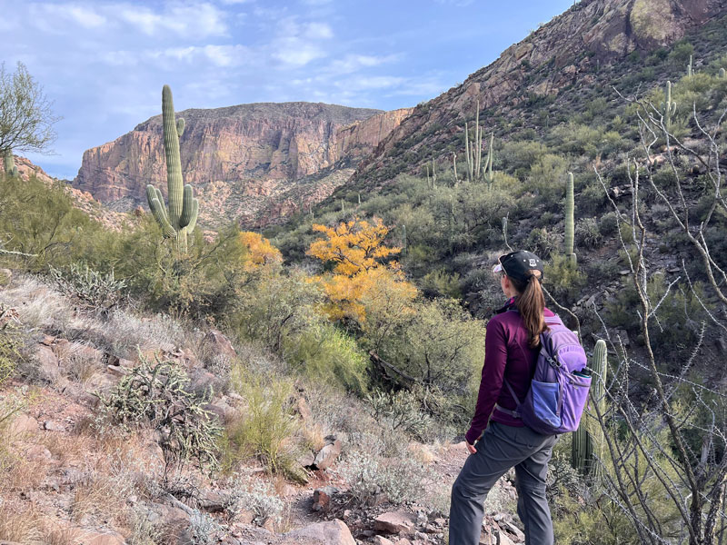
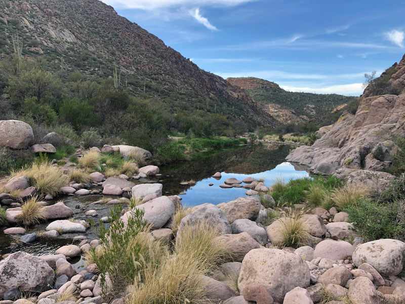
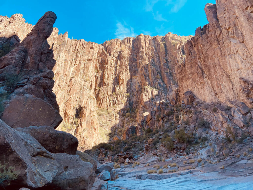
Boulder Trail basically crisscrosses its way along the wash. Or if you’re lucky, there’s water and you’re boulder hopping back and forth. This route is pretty well marked with cairns, so if you feel like you’ve lost the trail, take a second to look around for one. It’s likely on the other side of the creek.
Campsites There are several great spots to camp along the Boulder Canyon Trail, but one of our favorites is near a large pool.
The Battleship
As you approach the aft of the battleship, look for cairns marking a trail on the left that leads to the base. Once you reach the solid rock, you’ll immediately be faced with your first challenge, and this is where those who are unsure of their comfort level on this hike will be able to put it to the test. It honestly doesn’t really get worse than this, but you will definitely be faced with a lot more heights as you progress, so keep that in mind.
When you see a giant boulder, you’ll know it’s time to start scrambling onto the ship.
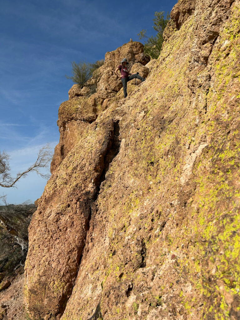
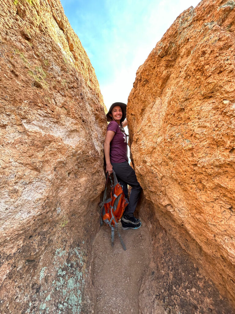
Once on top, it’s still a mile to the bow of the ship, and you’ll be scrambling up rocky faces, sliding down chutes, walking along skinny ridges, squeezing through narrow passageways, and probably getting stuck and having to backtrack a little. The truth is, there’s no right answer, and we choose different routes every time. As long as you’re headed toward the front of the ship, you’re good.
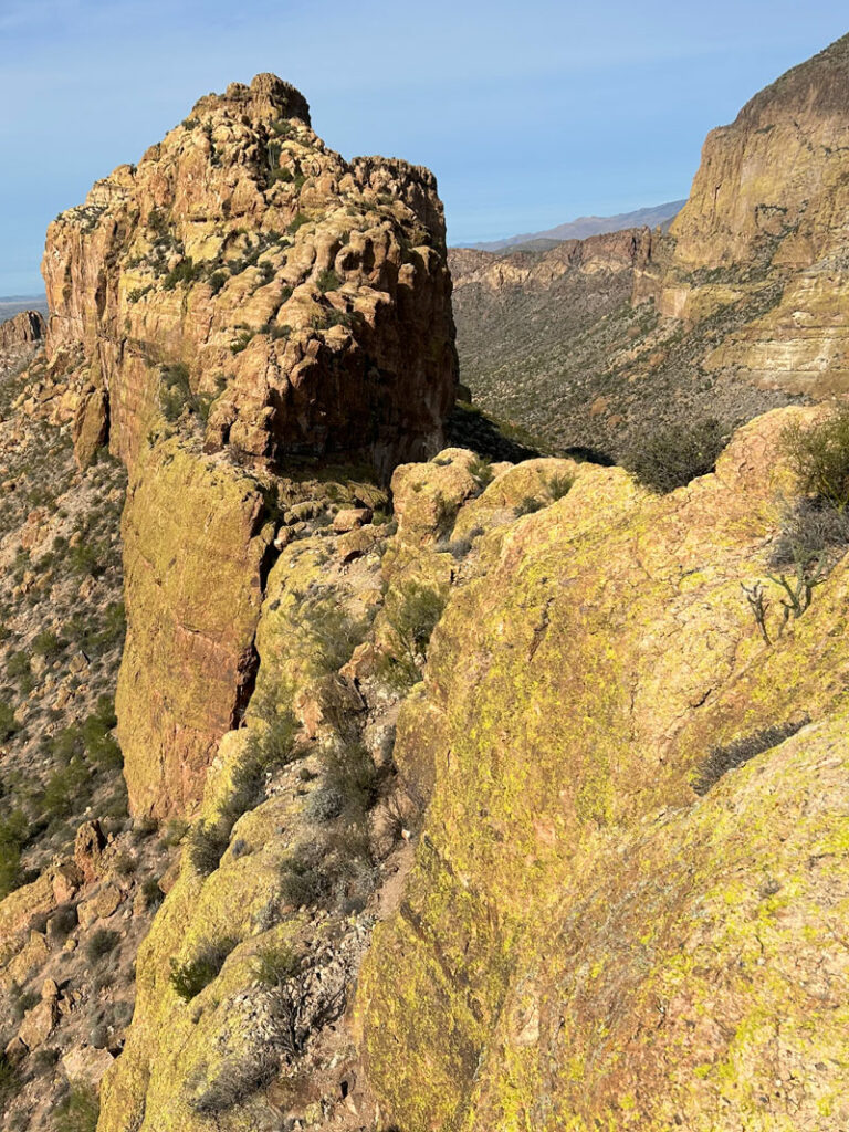
Pro Tip If your friend is stuck in the narrow part, go over or around. There’s almost always a bypass route.
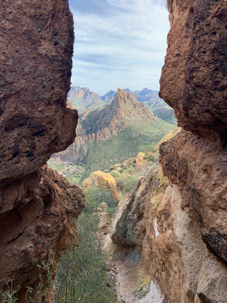
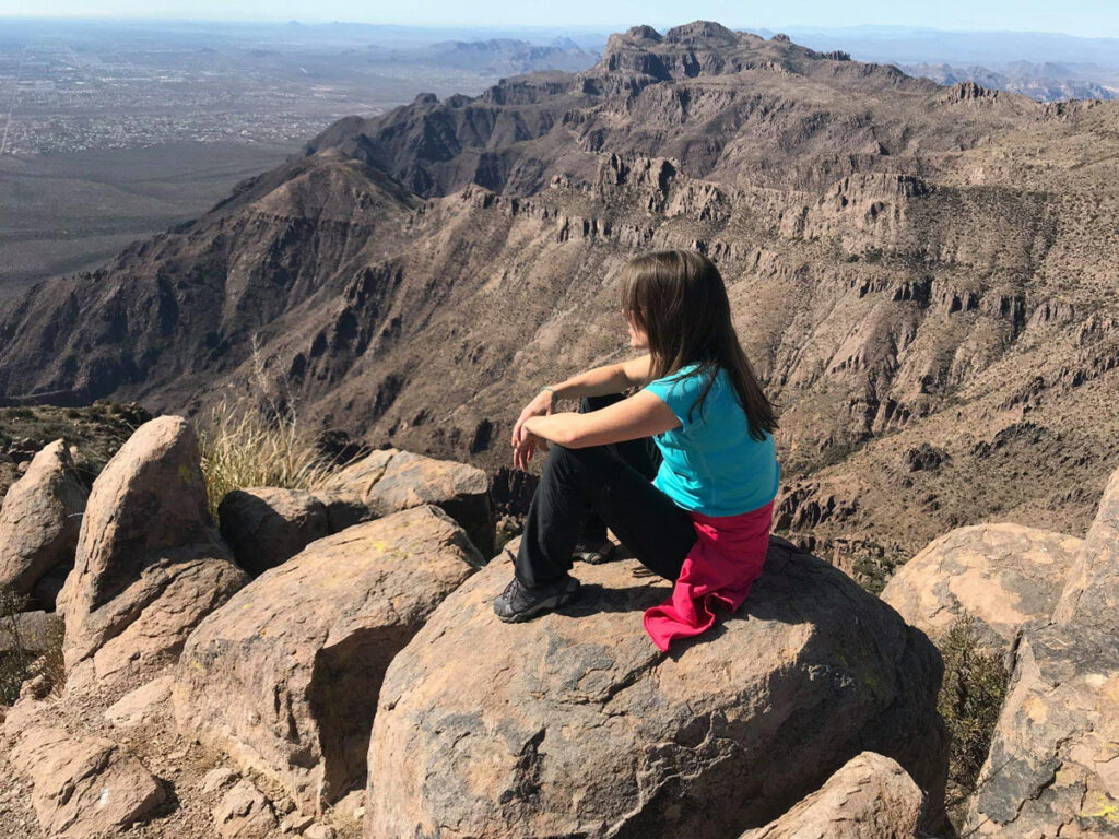
The good news is that for your effort, you will be rewarded with incredible views the entire way. Don’t forget to stop and look back, too.
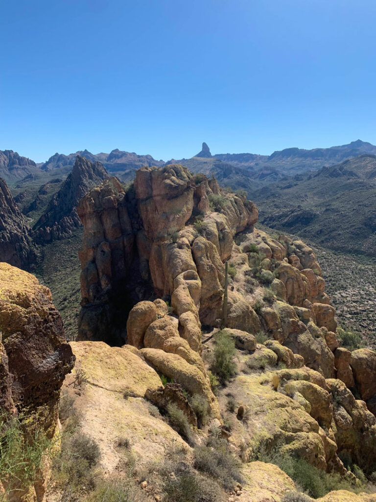
See that skinny ridge in the picture below? Yep, that’s the trail. You can’t take the lower ground because there’s a deep chasm right where that saguaro cactus is. So right now, you’re either thinking this is way cool or way scary. Or both?
The Summit
To get on the summit, you’ll have to circle around the front of it first and then make your way up. From there, you’ll enjoy expansive views of Malapais Mountain, Canyon Lake, and Weaver’s Needle.
Honestly, the worst part about the return hike is not traversing the sketchy sections on the battleship. Nope. When you’re exhausted from a physically challenging day, the hard part is hauling your butt up Second Water Canyon. I know, but it was worth it, right?
Map & Directions
Location Superstition Wilderness, Tonto National Forest, Apache Junction, Arizona
First Water Trailhead
From the US60 take the exit for Idaho Road. Go north on Idaho Road to state route 88 and turn right. Follow this road past the Lost Dutchman State Park to the turn for First Water Trailhead. Turn right and follow the dirt road to the end to the parking lot. There is an overflow lot about a quarter mile back if the main lot is full. The road is usually passable in a passenger vehicle.
Trailhead Facilities Pit toilets available. No water at the trailhead.

Leave a Reply