Dixie Peak
TRAIL STATS
You’ve heard of Piestewa Peak, but have you heard of her little sister, Dixie Peak? She’s less popular, but she’s also prettier and quite pleasant. Maybe it was just the perfect clouds and greenery from recent rain that enchanted us, but we thought it was a really nice hike. It’s a bit less strenuous than Piestewa, but you’ll have a nice little push to the summit at the end.
Trail Description
There are no trailhead facilities, and there’s only a small pullout that can fit about three vehicles just before the end of the road for parking, so it’s probably a good thing Dixie isn’t very popular. If parking is full, you can use an alternative trailhead listed below.
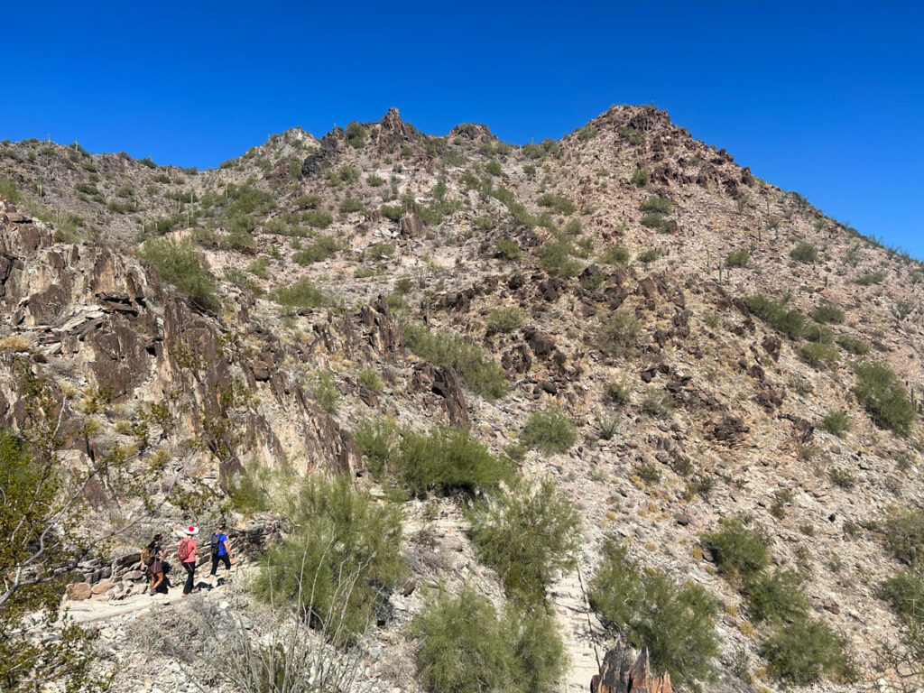
None of the trails to the peak appear to be official trails because they don’t appear on the preserve map. They are obviously well-traveled, and we even saw a bench along the trail we took to Dixie Peak.

Having just finished hiking the paved roads and antenna-topped peaks at North Mountain Preserve, the green, wild, and unspoiled peaks were a welcome change.
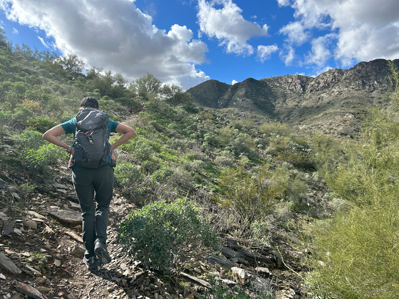
The first part of the trail is moderate, and the only steep part comes near the end as you make your final push to the summit.
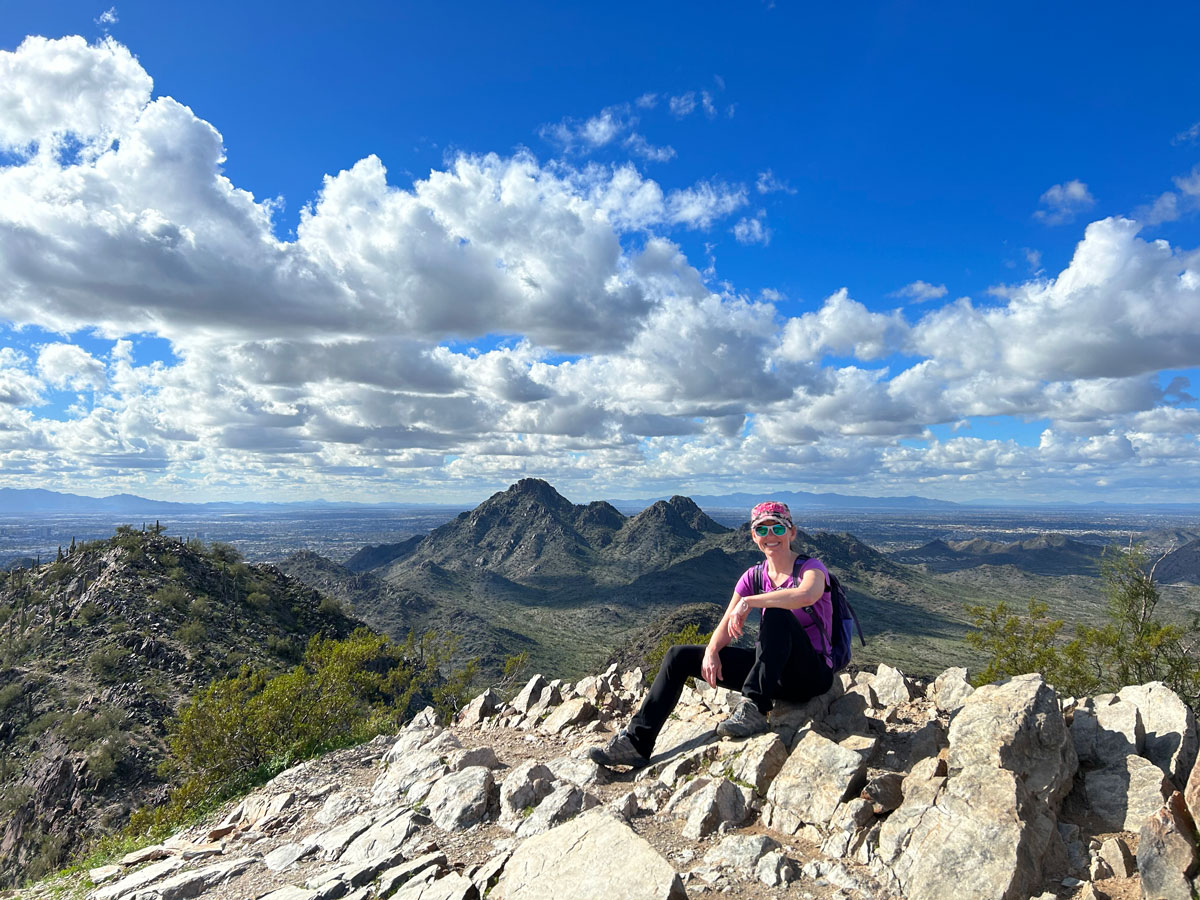
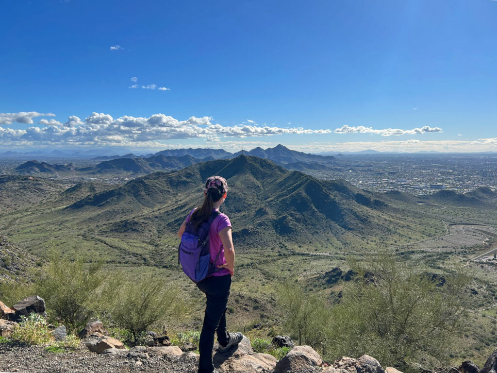
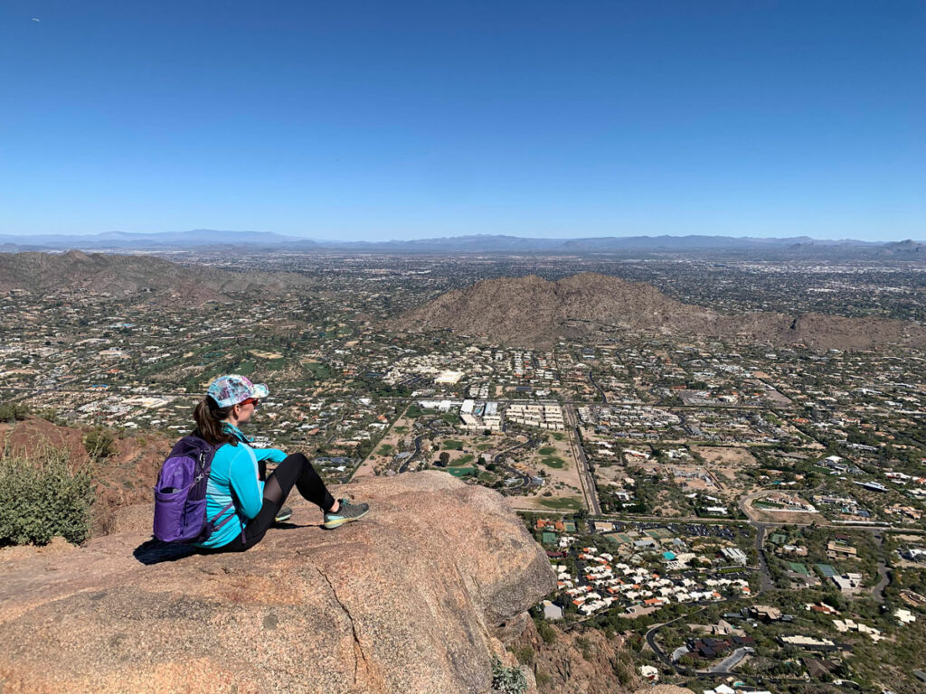
From the top, you’ll see Piestewa Peak, Camelback Mountain, and a whole lot of really swanky houses in the valley below.
The views on the way down are nice, especially if it’s a perfectly cloudy day.
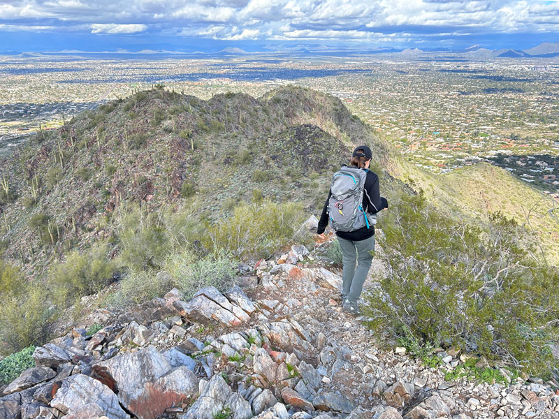
Just make sure to take the right trail, or you’ll be hiking it back up. I won’t say how we know.
Alternative Routes
40th Street Trailhead From this trailhead, follow the trail that’s actually an old dirt road that goes straight, almost as if it was a continuation of 40th street. Near the end, find the spur trail that breaks off to the left toward Dixie Peak. Adds 1.5 miles round trip.
Tatum Boulevard Trailhead Hike along Trail 100 to where it intersects with the straight dirt road (first major junction) and turn left. Near the end, find the spur trail that breaks off to the left toward Dixie Peak. Adds 2 miles round trip.
Map & Directions
Location Phoenix Mountains Preserve, Phoenix, Arizona
Located at the end of E White Dr. From Route 51, take the Shea Boulevard exit east and then turn right on Tatum Boulevard. Turn right on El Caida del Sol and make an immediate left onto Mockingbird Ln. Left on Lillian Ln, right on Charles Dr, left on Waterman Ln, right on White Dr.
40th Street Trailhead Take Shea Boulevard east from Route 51 to 40th street and turn right. The trailhead is at the end of the road.
Tatum Boulevard Trailhead From Route 51, take Shea Boulevard east to Tatum Boulevard and turn right. The trailhead will be off to the right across from Tomahawk Trail.
Fees/Passes None
Trailhead Facilities None
Recommendations for you
Shaw Butte and North Mountain Loop | Phoenix
Piestewa Peak | Phoenix
Camelback Mountain | Phoenix
Leave a Reply