Glassford Summit
TRAIL STATS
If you’re a Prescott local who needs a quick morning workout and would rather do it outdoors than in the gym, a hike up Glassford Hill Summit might be for you. The hike follows an old dirt road to the top of an ancient cinder cone with city views the whole way. There is an artwork installation, some interpretive signs, and picnic tables along the way to make the journey a little more pleasant, but it’s overall unremarkable.
Trail Description
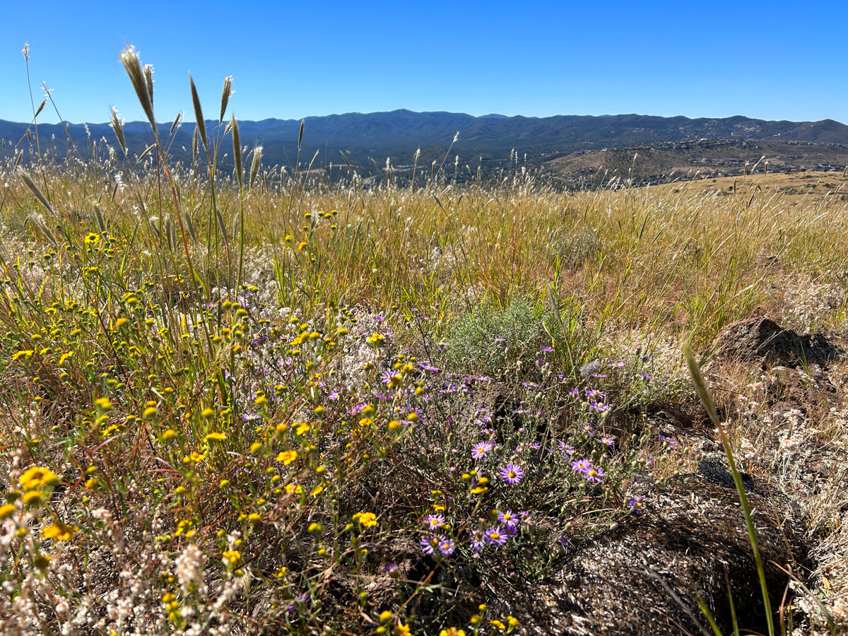
I’m just putting this out there up front. I’m pleasantly surprised with how the cover photo above came out because there was not much interesting or pretty about this hike. It’s a quick morning workout hike for locals, but nothing more.
When we pulled into the parking area, April couldn’t believe we were actually using some of our limited time in Prescott on this. She had a point.

I had my doubts, too, but a local cyclist we met along the way assured us it was worth it, so we pressed on. April did not stop bagging on that hike the whole way. “Should we just turn around and go to the lake instead?” I mean, maybe.
Glassford Summit Trail
From the parking area, you’ll get on a dirt road and turn right. When you see a bridge spanning the wash to your left, cross it to get on the Glassford Summit Trail.
Soon into the hike, you’ll see a pretty sculpture of metal horses called “Grazing.” It’s one of the nicest sights on the trail, especially if wildflowers are blooming. So why didn’t I snap a pic?
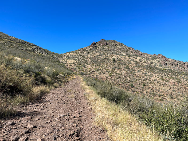
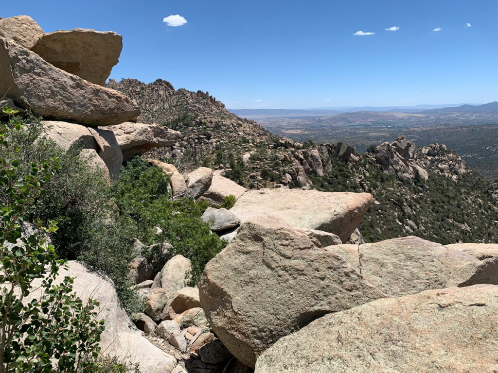
The entire trail is an old dirt road, and I have to admit I’m not a fan of that type of hiking, but it does keep the grade moderate throughout. The views do not really improve much as you ascend (is anyone still reading?).
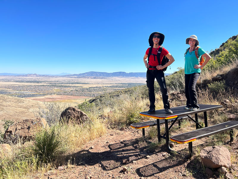
As the trail starts to steepen, you’ll see a series of picnic benches at every single switchback. If you’re planning to stop, I’d recommend the fourth or sixth ones where you can get a decent view.
At the top of the switchbacks, go left toward the summit. You can also see another summit ahead with antennas on top, but we didn’t check it out.
Glassford Hill Summit
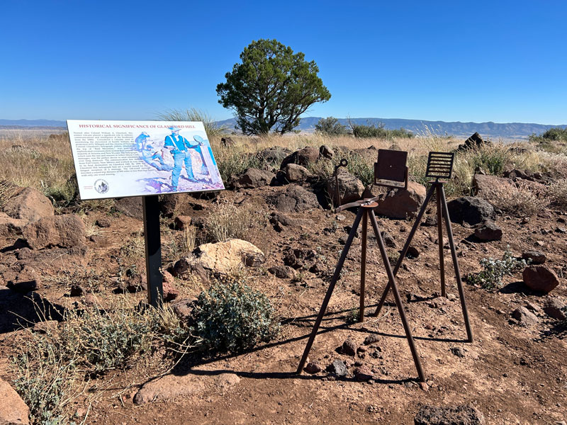
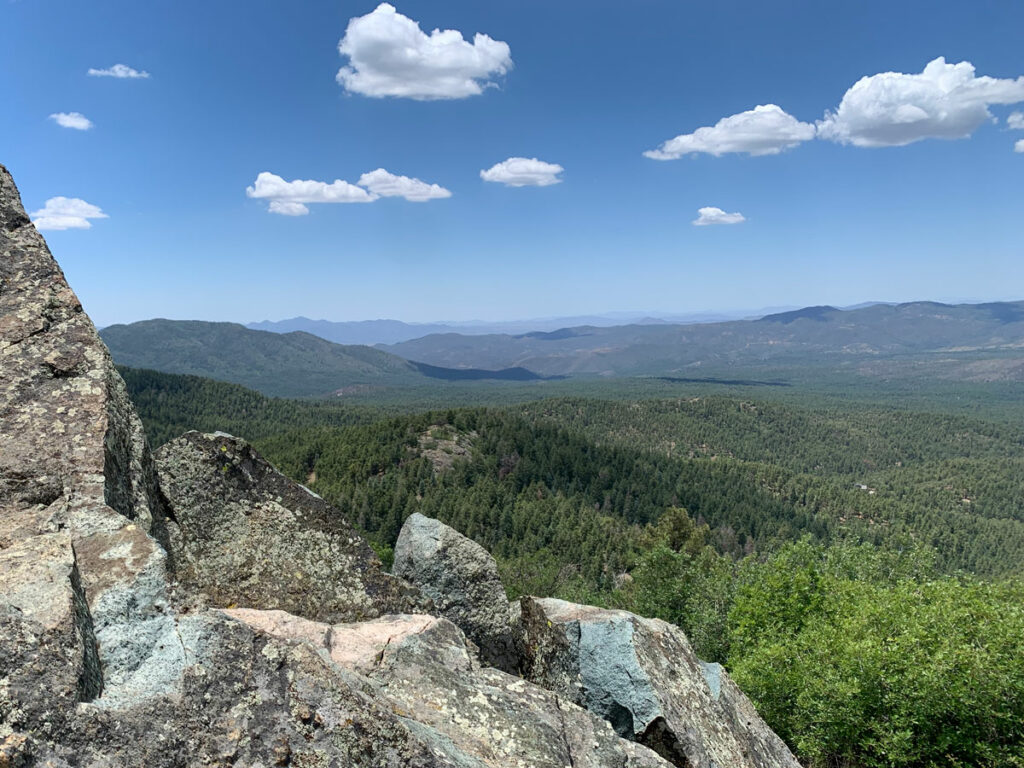
The summit is not a peak or a precipice, but a rounded hilltop with decent views in most directions. It also has an interpretive sign about the historical significance of the hill, which is actually an ancient cinder cone.
But if you were looking for an epic hike or something to post on Instagram, I’m afraid I can’t recommend it.
Wait! Wait! I just noticed on my GPS map that you can keep following the trail out to one last picnic bench. Maybe that’s where the real views are? Or maybe you’ll be done with this hike and turn around so you can still have time for the lake.
If you do go to the end, let us know in the comments how it was!
Map & Directions
Location Prescott Valley, Arizona
From Highway 69 east of Prescott, go north on Prescott East Highway. Turn left on Castle Lane, then right on Sunset Drive. Trailhead parking is on the left. Google maps has it marked as Glassford Summit Trailhead.
Fees/Passes None
Trailhead Facilities Portable toilets at the trailhead
Recommendations for you
Granite Mountain | Prescott

Watson Lake Loop | Prescott
Spruce Mountain | Prescott
Leave a Reply