Heliograph Peak
TRAIL STATS
Visit the tallest fire lookout in the Coronado National Forest and enjoy nice views of the valley below on a hike to Heliograph Peak on Mount Graham. The peak was so named because the US Army used it as a heliograph station in the 1860s, using a reflecting device to communicate with Morse Code. You can make this hike into a loop using the road to the lookout, but we recommend going out and back.
Trail Description
This hike can be completed two ways:
- Out and back (recommended) You can hike out and back from Shannon Campground, which has less burn damage, and you avoid walking along a road. You’ll have nice views once you get over the ridge.
- Loop You can use the fire lookout road to make this hike into a loop. The benefit is that you’ll enjoy views down the other side of the mountain, but you’ll be walking along a road in a mostly burned area. If you choose the loop, we recommend going up the trail and down the road.
Right at the turn off for Shannon Campground is a parking area. The end of the road to the lookout was right there, so we decided to start on the road to do the loop. Bad idea. There’s nothing less fun than trudging uphill on a forest road through an area with a lot of burn damage. So even though we started on the road, we will pretend we hiked it starting on the Arcadia Trail like the smart people do.
Arcadia Trail #328
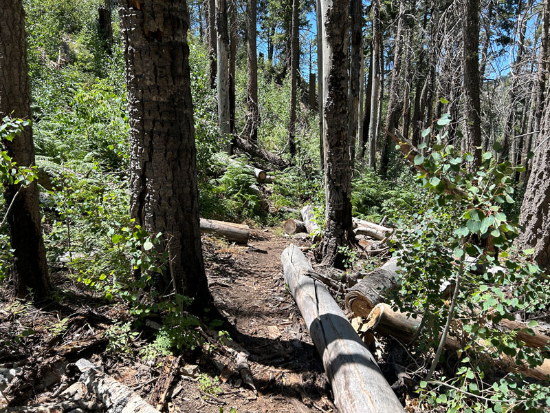
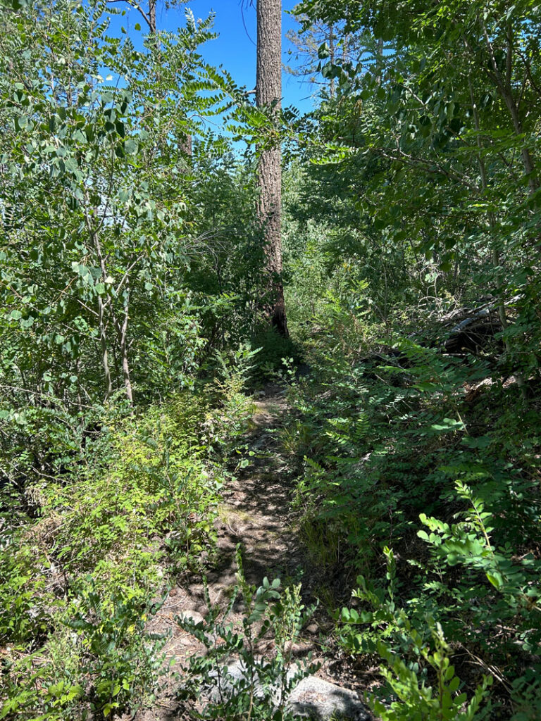
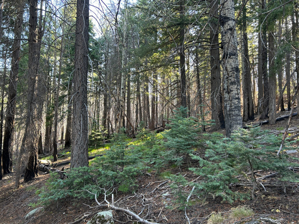
Beginning in Shannon Campground, you’ll pass through lovely, green forest.
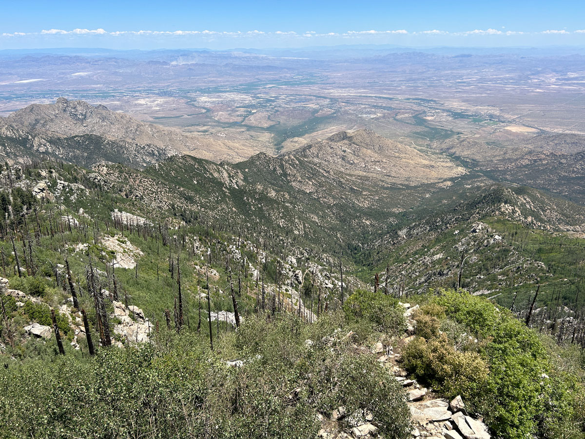
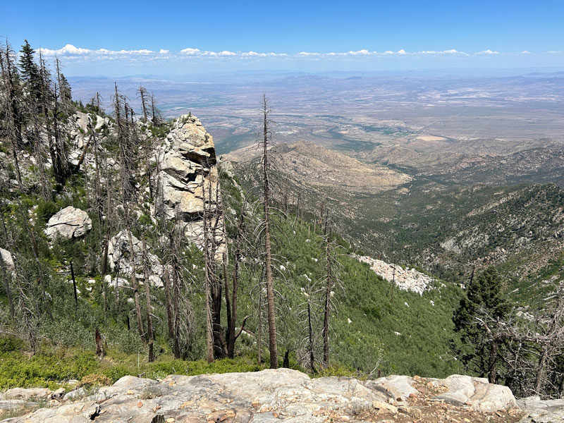
Eventually, the trail makes a right turn and starts heading up some switchbacks toward a ridge. The good news is that once you get atop the ridge, you have a magnificent view with Eagle Rock in the foreground (that’s what my Garmin map called it?).
From here, you’ll want to keep an eye out for a trail junction on the right with Heliograph Peak Trail so that you don’t accidentally continue happily toward Arcadia Campground.
Heliograph Trail #328A
Once on the Heliograph Trail, you start to enter a burned area, but the aspens have grown back nicely and provide greenery and shade all the way to the peak.
The trees are captivating, but every now and then, stop and turn around to take in the view behind you.
Heliograph Lookout
The trail pops you out on a road that leads up to the lookout tower. You can’t miss it because it has eight flights of stairs! That makes it the tallest lookout tower in Coronado National Forest.
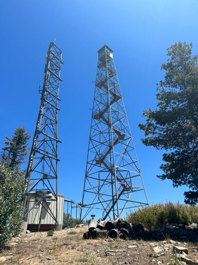
A sign warns you not to climb the tower or disturb the lookout in any way, but it was mighty tempting since there was no chain or gate across the steps when we went. Looked so inviting, if a little unnerving.
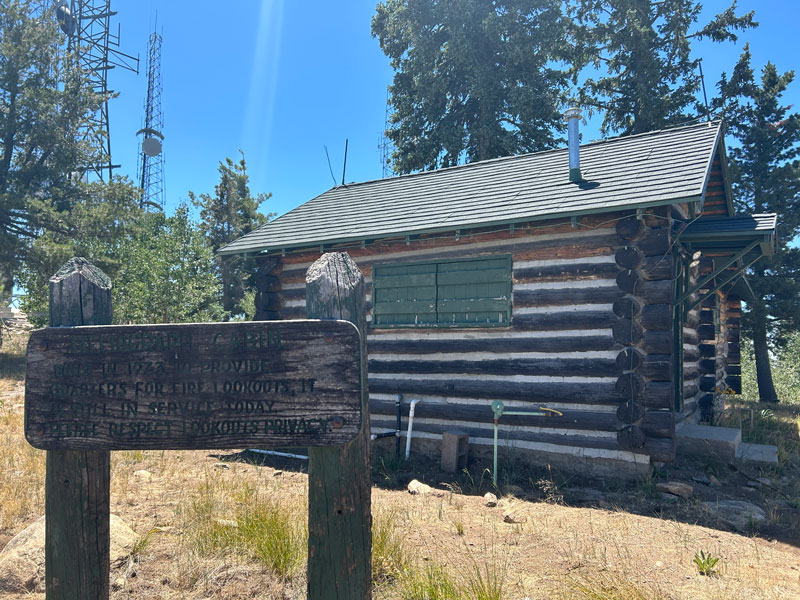
There’s also an old cabin built in 1933 that is still in service today.
There was a lot of noise being generated up there, so it’s hard to find a quiet place to enjoy the view, but we settled on one that had a tiny bit of shade.
On the way down, you can take the road directly back to your car or enjoy the trail once again. I’m just gonna say I did take pictures of my hike up the road, but they suck just as much as hiking up it did. I already had the caption planned out, “This road sucks.” Choose the trail unless you really need the convenience of the road.
Map & Directions
Location Mount Graham, Pinaleño Mountains, Safford, Arizona
From Safford, take Highway 191 south. Turn right on the Swift Trail, which takes you up Mount Graham. Turn right into the Shannon Campground.
Fees/Passes None
Trailhead Facilities None, but you could borrow the pit toilets in Shannon Campground
Recommendations for you
Webb Peak Ash Creek Loop | Mount Graham
Heart of Rocks | Chiricahua National Monument
Coronado Cave | Sierra Vista
Leave a Reply