Kaiser Canyon
TRAIL STATS
Located along US Route 93 between Wikieup and Wickenburg, Kaiser Canyon gives you the opportunity to explore some pretty narrows, soak in Kaiser Hot Spring, and visit Burro Mine all in one adventure. If you’re feeling extra energetic, you can take the old road up to the top of a peak for a great view up and down the canyon. As a three-star hike, it’s worth a visit if you’re in the area, but don’t make a special trip.
Trail Description
Kaiser Hot Spring Parking
Just a short distance after you turn off the highway, you’ll come to an obvious parking area for 2WD vehicles. If you do have 4WD, you can drive a little farther under the bridge to park down there.
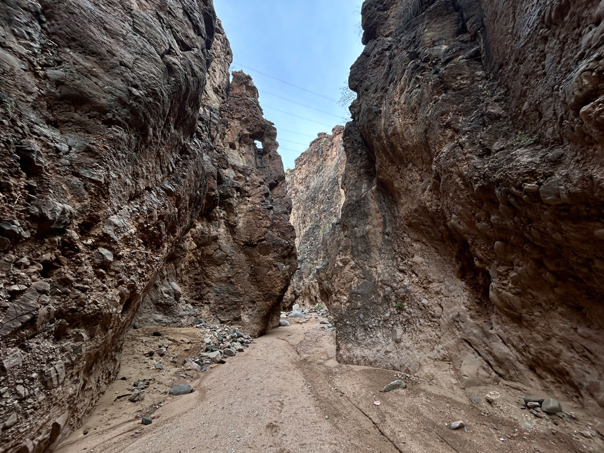
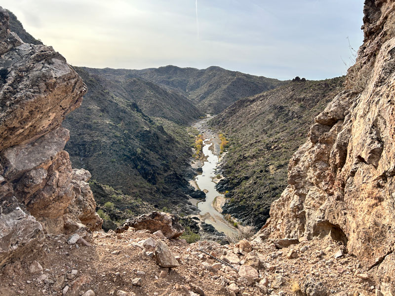
Kaiser Canyon Narrows
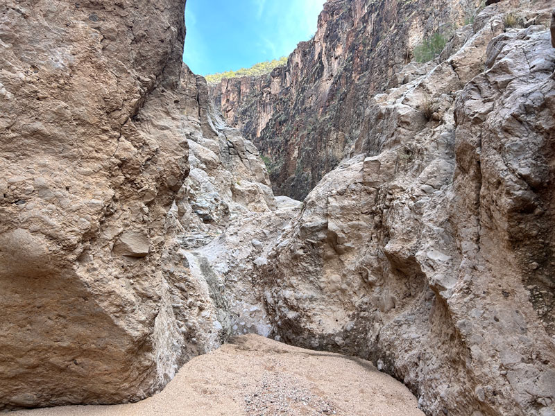
Make your way down into the main wash, and then follow it upstream to head toward the narrows. The walls close in almost right away, and if you look carefully, you can see a tiny arch up on the left side. (Note: be sure not to confuse the main wash with the small wash that runs next to the parking area.)
Most of the way, it’s easy walking through sand, but occasionally, you’ll come across an obstacle that should be pretty easy to overcome.
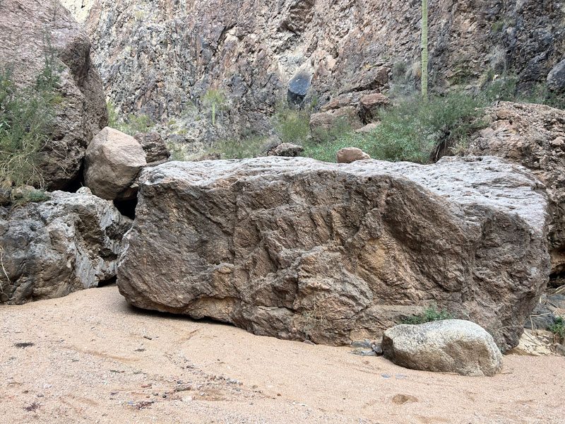
If you get to this large boulder, you can either do some climbing to get up on top or go back a short distance to find a bypass route on the left side.
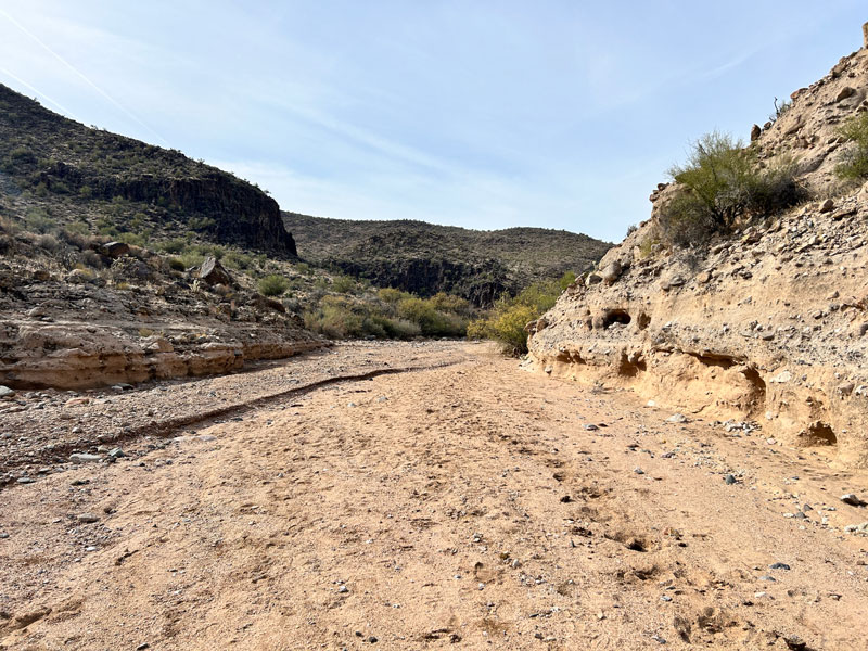
Not far beyond this point, at about 1 mile in, the canyon begins to widen and most people will want to turn around at that point. However, according to Todd’s Desert Hiking Guide, those who continue will find a riparian area and potentially be able to locate Kaiser Spring.
Once you return to the parking area, you can continue travelling down canyon to visit Kaiser Hot Spring. The hiking to the hot spring is easy since it’s just a flat, sandy wash.
At 0.7 miles, an old road comes in from the right side and continues with you the rest of the way. When you see fresh tread marks, you’ll probably be wondering why you didn’t just drive. We were, but it turns out the road gets pretty hairy in some spots.
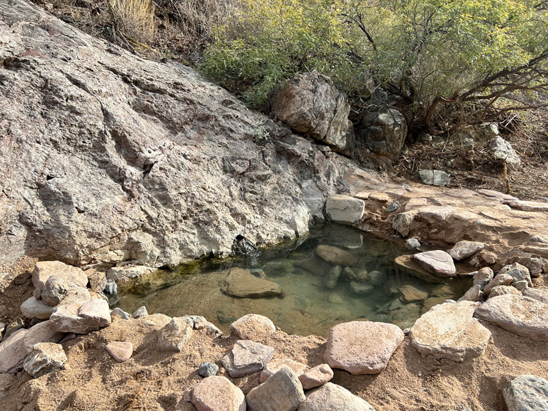
Kaiser Hot Spring
When you get to the hot spring at 1.4 miles, you will know it. Some fellow hikers have made some “improvements” to the area. There were three tubs when we went, two of which were lined with unsightly blue tarps and filled with cold, algae-filled water. Ew.
However, the main pool was clean and warm. Even though it was a cool December day, it didn’t feel much like hot tubbing weather.
A short walk around the corner will bring you to the confluence with Burro Creek, which usually has water.
Cross the creek and pick up the old road again to visit Burro mine, just 0.4 miles from the hot spring.
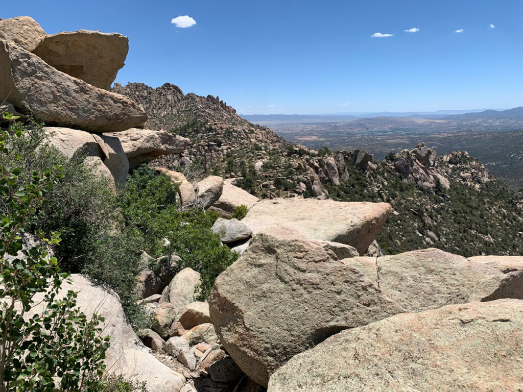
If you find yourself climbing and climbing a steep road with no mines in sight, you totally missed it like we did. You made it unnecessarily hard on yourself, but since you’re up there, climb the small rocky peak for an awesome view up and down the canyon.
Take your walk of shame back down to that first, obvious pull out along the road and look closer at the wall in front of you to find the mine entrance.
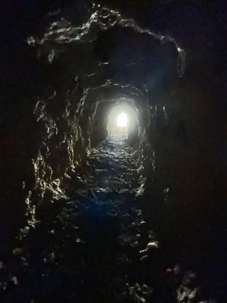
Burro Mine
The main entrance to Burro Mine is at the first pullout along the road on the right. If you don’t see it at first glance, look harder. The mine goes about 80 feet back into the mountain and has a TON of bat guano. So gross, but we did not see any bats when we shined our lights up onto the mine ceiling.
If you continue up the road and explore a bit at each pullout, you can find at least two more mine shafts, but neither goes very far into the mountain.
When you get back down into the canyon, you can continue up the creek to visit a box canyon, according to Todd, but we were satisfied and returned to our vehicle. If you venture beyond my path, please comment and let me know how it was!
Map & Directions
Location Wikieup, Wickenburg, Arizona
Google Maps Kaiser Hot Springs Parking
Fees/Passes None
Trailhead Facilities None
Recommendations for you
Granite Mountain Hotshots | Wickenburg
Granite Mountain | Prescott

Watson Lake Loop | Prescott
Leave a Reply