Lost Ranch Loop
TRAIL STATS
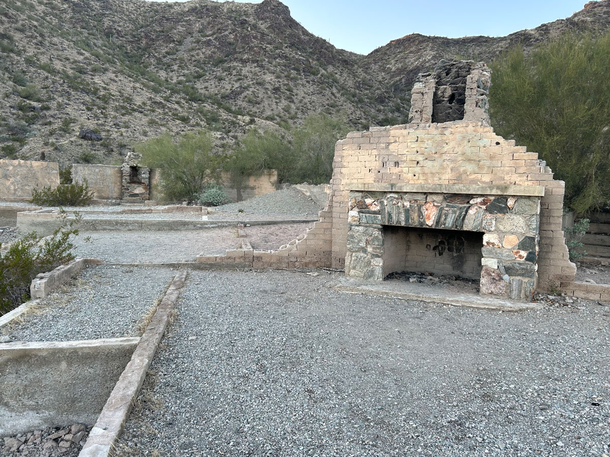
Visit the ruins of Lost Ranch and the nearby Lost Ranch Mine on this loop that ascends to the South Mountain ridgeline and back. The history of Lost Ranch is clouded in mystery, and a visit there will kindle your imagination of times past. The mine shaft leads about 50 feet horizontally into the mountain, and you may be able to find other openings into the earth.
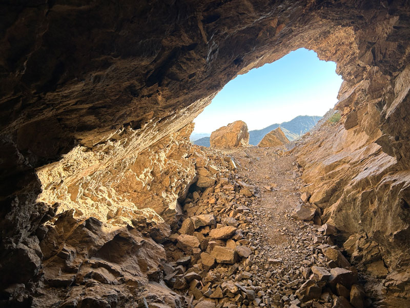
Use caution since abandoned mines can be dangerous.
Trail Description
Pyramid Trail
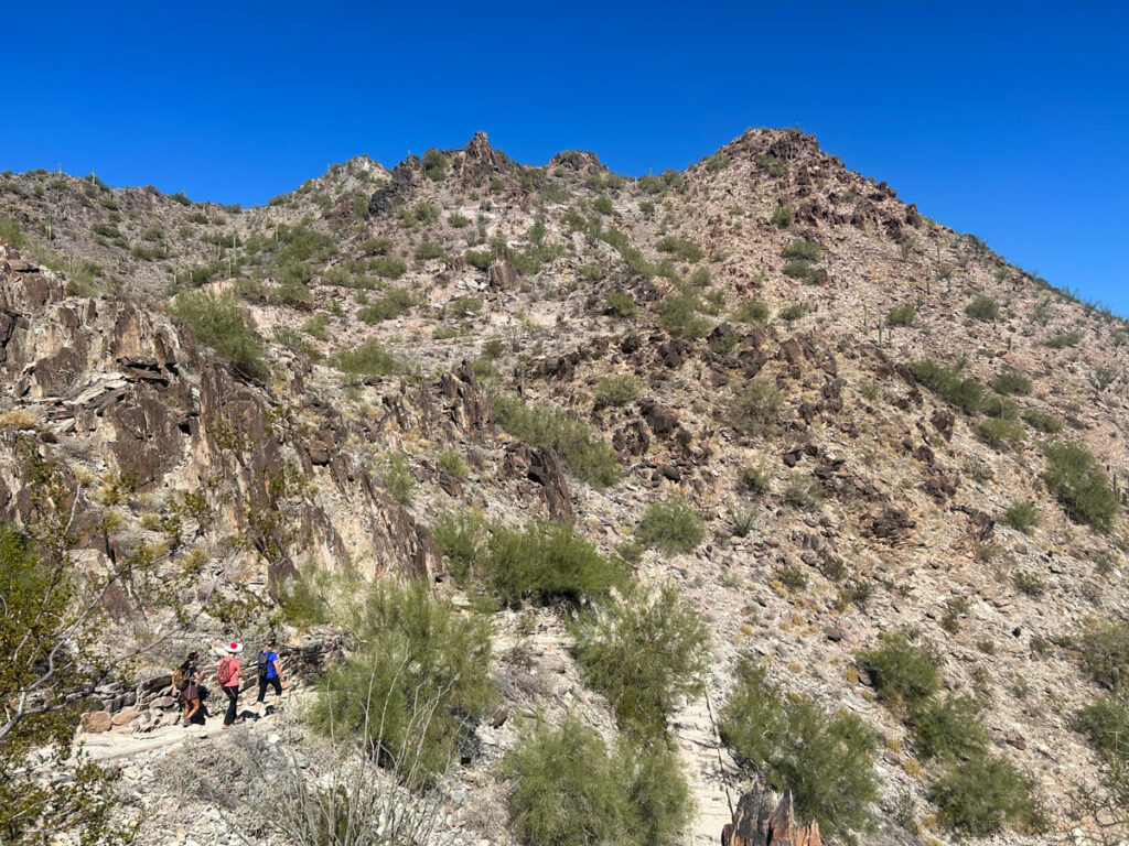
From the Bursera Trailhead, take the Pyramid Trail as it follows along the base of South Mountain to the northeast. There are a lot of crisscrossing trails here that may or may not have a signpost that may or may not have any useful information on it. The idea here is to get to the large and obvious canyon on the left and then go up that canyon.
Lost Ranch Trail
Once you’ve made a left turn onto the Lost Ranch Trail, you’ll begin heading up the canyon toward the ruins, which you may be able to spot in the distance. Since this is a lollipop loop, you can either continue on to the ruins first to complete the loop clockwise or turn right onto the Lost Ranch Mine Trail to visit the mine first and complete the loop in a counter-clockwise direction. This guide describes the counter-clockwise route.
Lost Ranch Mine Trail
After the Lost Ranch Trail comes out of the wash, watch for a trail branching to the right about 1000 feet before the ruins. Take this trail across another wash to the ruins of the mine. You’ll be able to see piles of rocks outside the mine to know you’re in the right place. Look for a spur trail that leads around the rock pile to the left to a small hole in the mountain.
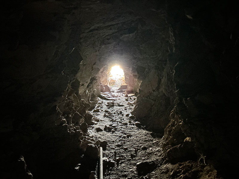
According to trip reports on HikeArizona.com, this tunnel used to go hundreds of feet back, but now it’s caved in about 50 feet back.
Back on the trail, you will find a couple more holes in the earth up a little higher. One seemed safe enough to go in. The other had sliding rocks and precarious wooden studs holding up the rock above and did not seem safe at all.
Farther along the trail, you’ll see more evidence of mining activity. From here, you can continue with the loop to get the nice views at the ridgeline and a good workout, or go back down and over to the ruins.
After leaving the mine area, you’ll begin climbing steeply up toward the ridgeline. It’s a heart pounding thigh burner!
You’ll get a short break at a small saddle, but you’re not there yet.
National Trail
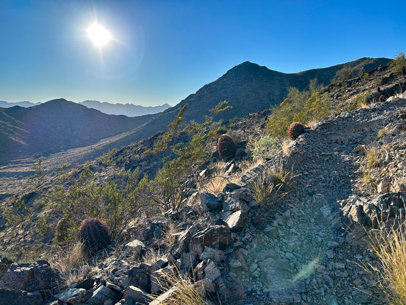
You won’t be at the National Trail until you can finally see over the other side of the mountain where you’ll have a nice view of the Ma Ha Tuak Range across the valley.
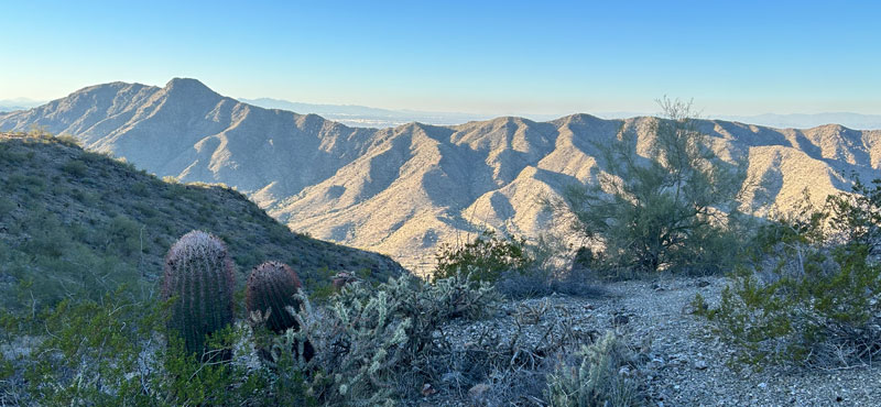
On the National Trail, you’ll get a welcome reprieve from the switchbacks and enjoy great views as you follow the main ridgeline.
But don’t get too comfortable because the turn for the Lost Ranch Ruins Trail isn’t well marked, so keep an eye out for it.
Lost Ranch Ruins Trail
As soon as you turn onto the Lost Ranch Ruins trail, you’ll begin descending as steeply as you went up with a drainage dropping off to your left below.
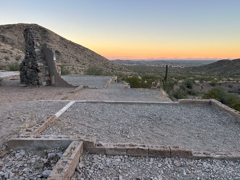
As it starts flattening out, look for the ruins to your left. You can’t miss them! If you go near sunset, you’ll see they had a pretty nice view from the ranch, whoever they were.
The trail from here is a very obvious trail that looks like it could be a road. Take it back to the Pyramid Trail and your car.
Map & Directions
Location South Mountain, Phoenix, Arizona
Take Loop 202 to 17th Avenue and go north. Turn left on Chandler Boulevard and go until you see the Bursera Trailhead parking area on the right after the neighborhood.
Fees/Passes None
Trailhead Facilities None
Recommendations for you
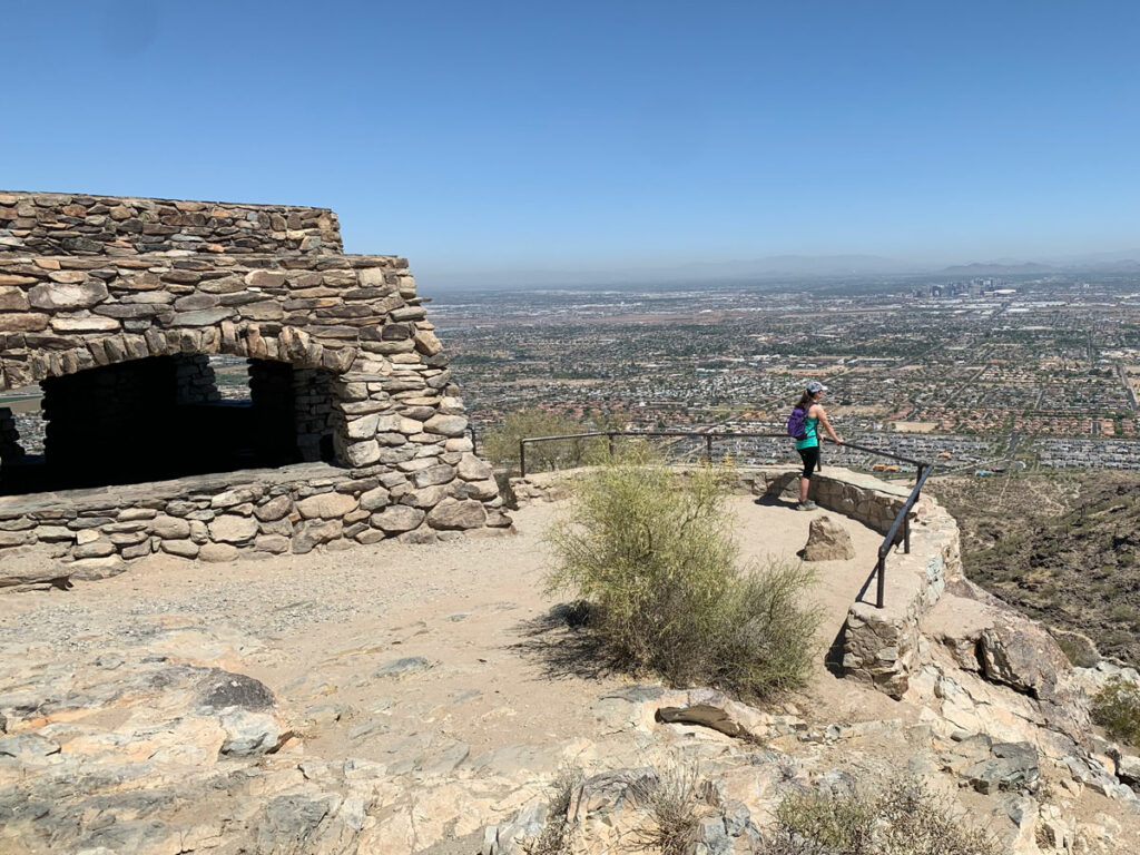
Dobbins Lookout | South Mountain
Hidden Valley Loop | South Mountain
Piestewa Peak | Phoenix
Leave a Reply