Pontatoc Ridge
TRAIL STATS
Hike the Pontatoc Ridge Trail for a decent workout and nice views of Tucson. The trail follows the ridgeline much of the way and then veers left just before the summit to the base of the Pontatoc Cliffs. There is no official trail up to the cliffs or the summit, but we heard of people visiting both and even finding an abandoned mine. Enjoy the views along the way because the view at the end of the trail is not as impressive.
January 1st to April 30th each year, hiking more than 400 feet off the official Forest Service trails in this area is prohibited due to bighorn sheep lambing season. Please do your part to protect these majestic animals and respect the closure.
Trail Description
I admit it, I’m a sucker for ridges. So when I saw “ridge” in the name of this hike, I knew I had to do it. Even if we just hiked Pusch Peak, and even if it meant we might not have time for enchiladas afterward. We could hurry, right?
Pontatoc Trail #410
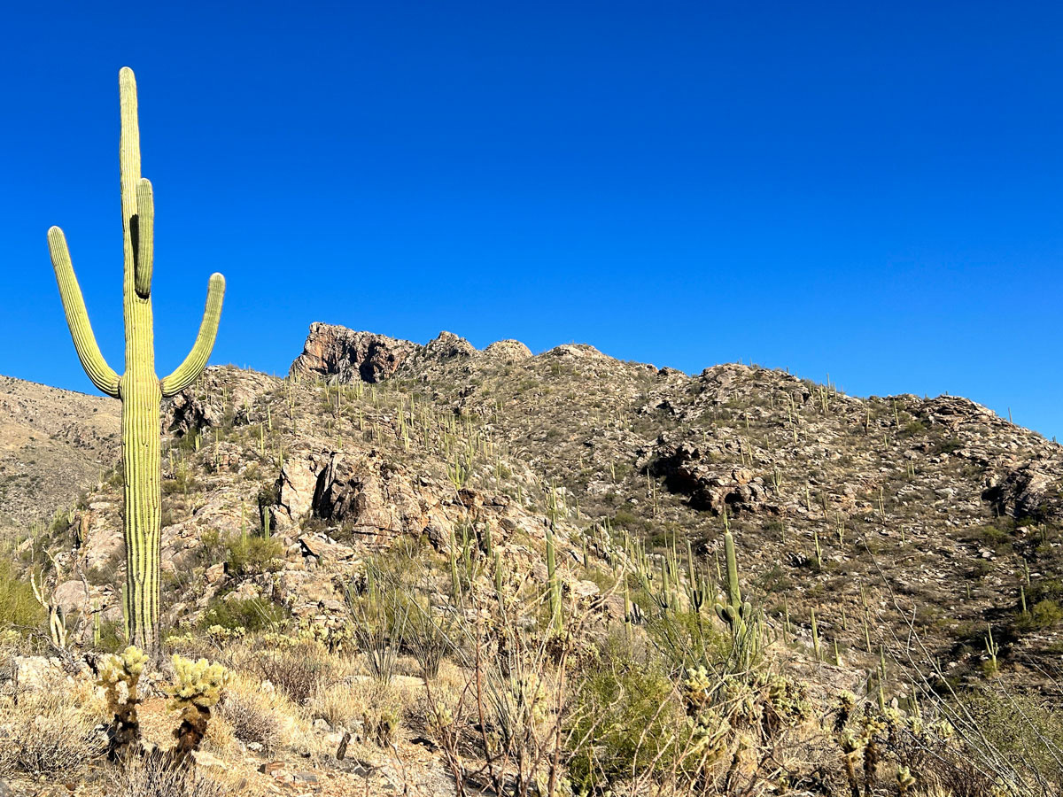
The trail begins at the Finger Rock Trailhead where you’ll take the right fork onto Pontatoc Trail #410. This section of trail is the easy part as it crosses rolling hills of desert landscape on the way over to Pontatoc Canyon. Soon after you cross a large wash, the trail will start going up the side of the canyon to where it will connect with the Pontatoc Ridge Trail.
Pontatoc Ridge Trail #411
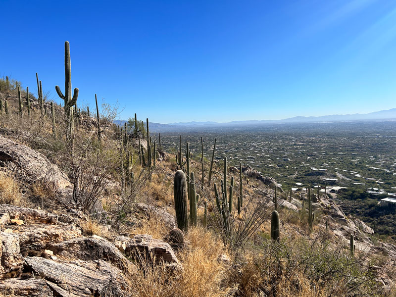
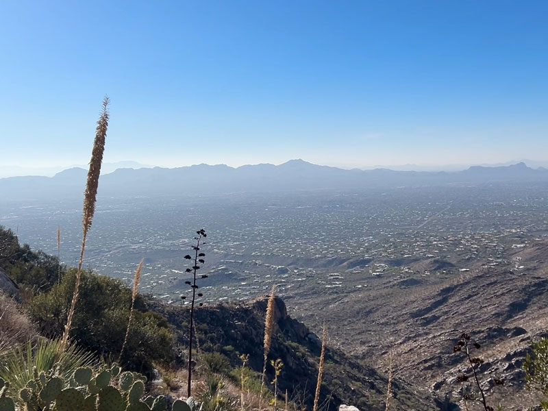
A sign marks the junction with the Pontatoc Ridge Trail, and you’ll want to take a right. You’ll skirt along the side of the canyon as you begin climbing up to the ridge. Nice views of Tucson can be seen as the trail changes direction to head across the ridge.
This ridge isn’t as impressive as some others I’ve hiked, such as Blackett’s Ridge, but it still has some nice geological features.
The trail ascends steadily as you make your way along the ridgeline, so you’ll definitely be huffing and puffing. Especially if your friend is acting like a drill sergeant because she really wants to get enchiladas from El Charro.
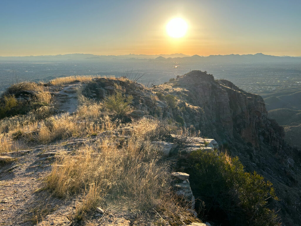
The trail will eventually flatten out a bit, and you’ll have a really nice view down both sides of the ridge at a small saddle.Your feelings of relief will soon be replaced with dread as you notice the steep section of ridgeline ahead of you.
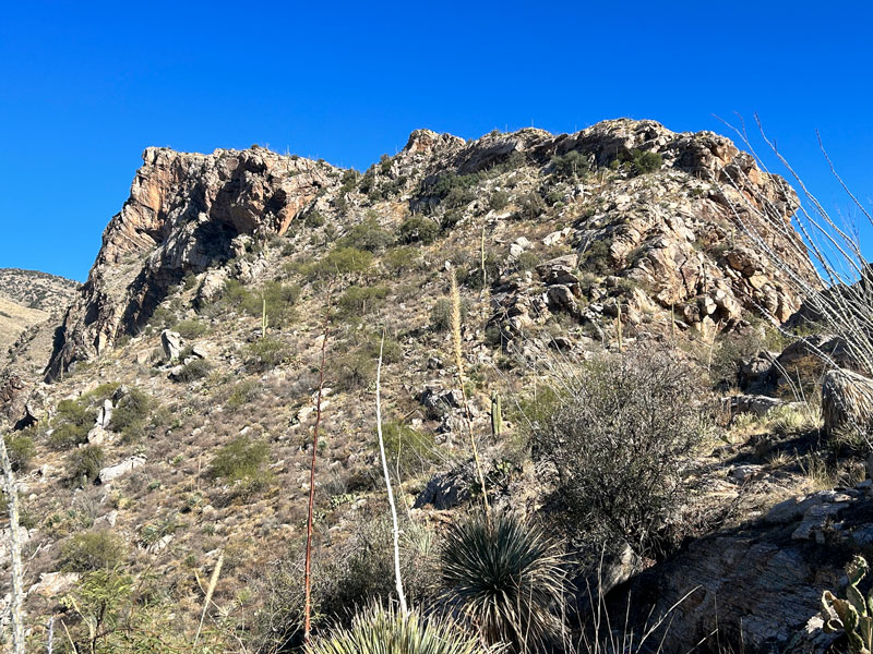
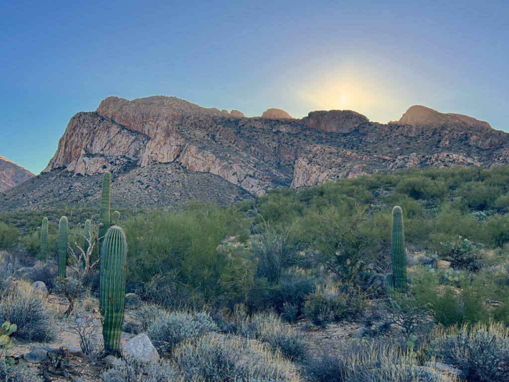
Pontatoc Cliffs
Not to worry, the trail does not actually go up that part, and you’ll soon find yourself at the end of the trail below the Pontatoc Cliffs.
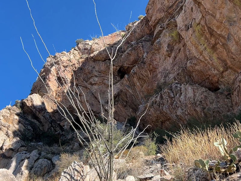
There is no official trail up to the base of the cliffs, but we saw plenty of people going up to check them out.
Even though you won’t have a panoramic view here, you will still be able to enjoy a slice of the Tucson valley.
Some hikers have found an abandoned mine in the area, although the Forest Service website discourages it. Others have taken an unofficial path to the peak or even made a loop of it with the Pontatoc Trail. Just remember not to travel more than 400 feet from the official trail January 1 through April 30.
At this point, Google says El Charro is just 3.4 miles from your current location, so hustle down and get those enchiladas!
Map & Directions
Location Pusch Ridge Wilderness, Tucson, Arizona
From Tucson, head north on SR 77. Turn right (east) on Ina Road, which becomes Skyline drive. Turn left to stay on Skyline Drive, and then turn left on Alvernon Way. The trailhead is on the left near the end of that street.
Fees/Passes None
Trailhead Facilities None
Recommendations for you
Pusch Peak | Tucson
Blackett’s Ridge | Tucson
Sombrero Peak | Tucson
Leave a Reply