Best Hard Hikes in Phoenix for a Great Workout
I know the feeling. You really need some cardio, but you’re bored of going to the gym all the time. Well, we can help you find the perfect workout in God’s gym.
Whether you’re looking for a quick thigh burner, a longer butt-kicker, or a real suffer fest, Phoenix has a hard hike that’s perfect for you.
Hikes in each section are listed in roughly hardest to easiest order.
Quick Workouts (2-3 hours)
These Phoenix area hikes can be done in a short amount of time but still give you enough of an incline to get your heart going.
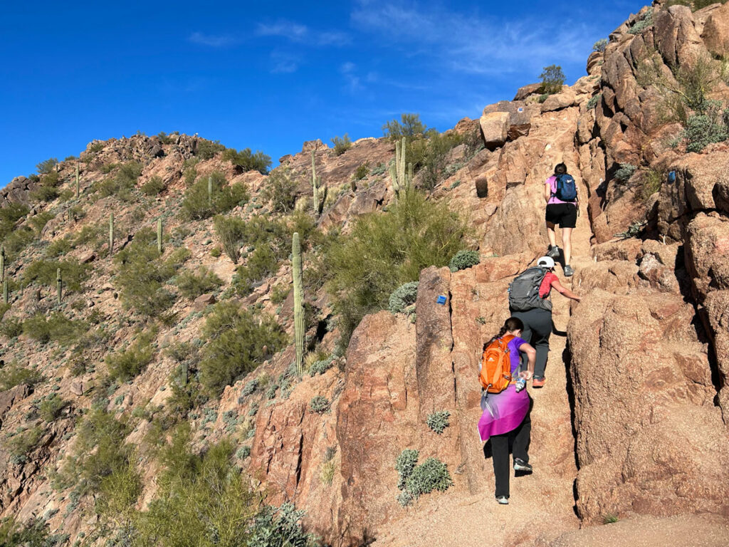
Camelback Mountain
2.3 miles
1440 ft elevation gain
It wouldn’t be a list of Phoenix fitness hikes without it. This is THE premier workout hike in the Phoenix area, and its central location means it’s pretty convenient for just about anyone. Parking can be a nightmare, and you’ll get a ticket if you don’t make it down before sunset, but this unique mountain in pretty shades of red stands ready to make you feel the burn.
The full report
Camelback Mountain
Piestewa Peak
2.1 miles
1156 ft elevation gain
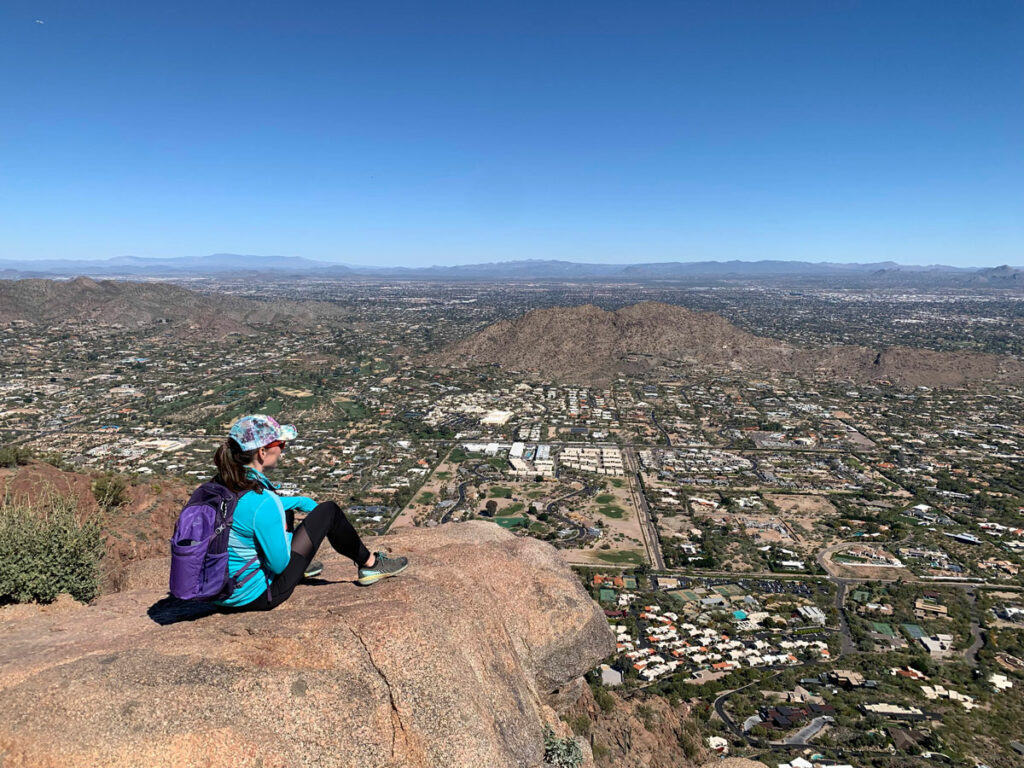
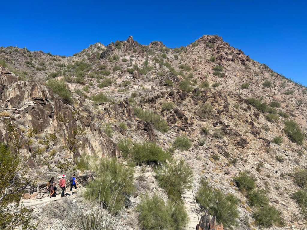
If Camelback is a total circus, you can try your luck at neighboring Piestewa Peak. A totally different kind of geology, it’s almost as challenging and just as satisfying. Plus, you can hike up until 11pm. The gate closes earlier, but there is a parking area just before the gate that you can use when the park road is closed.
The full report
Piestewa Peak
Tom’s Thumb
4.3 miles
1372 ft elevation gain
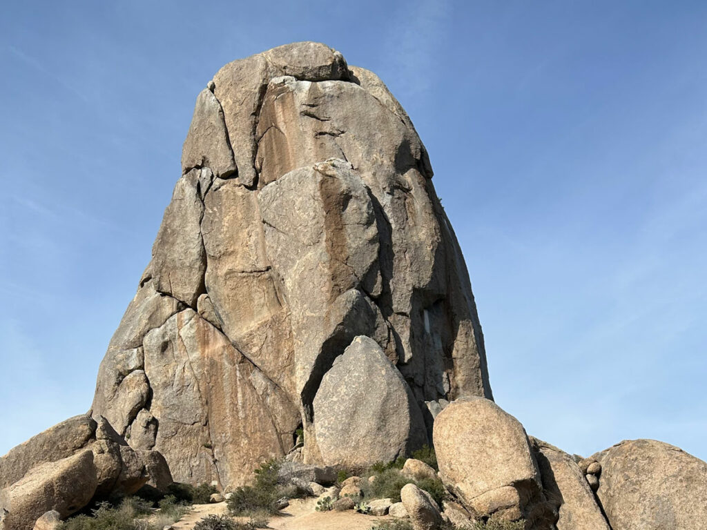
This cool rock spire sitting atop the McDowell Mountains has a mix of steep switchbacks and moderate inclines along a smooth, gravelly trail that can be a little slippery on the way down. If you’re a climber, bring your gear because there’s nothing like standing on top!
The full report
Tom’s Thumb
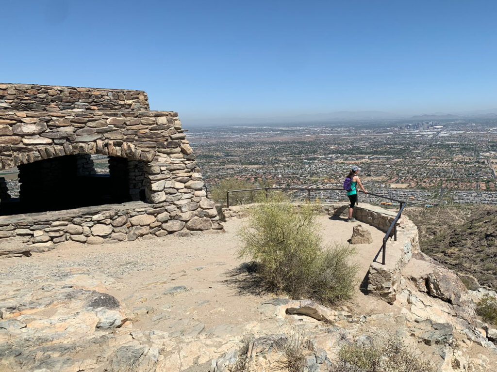
Dobbins Lookout
4.0 miles
1028 ft elevation gain
Most people drive up to Dobbins Lookout, but you can use the Holbert Trail to hike up there from the main parking area at South Mountain. You’ll enjoy great views of Phoenix from the top. Days when the summit road is closed are the best.
The full report
Dobbins Lookout
Shaw Butte
3.2 miles
828 ft elevation gain
If you’re in north Phoenix and in need of a quick hike, Shaw Butte (or neighboring North Mountain) could be your answer. It’s our least favorite on this list because it follows a utility road to a peak covered in antennas, but it still might be better than the gym.
The full report
Shaw Butte
The full report is for a loop of both Shaw Butte and North Mountain, but you can choose to do one or the other.
Butt-kicking Hikes (4-7 hours)
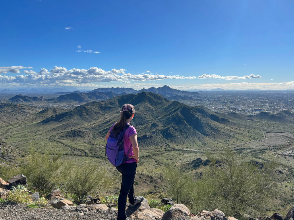
Looking to challenge yourself even more? These hikes will have you feeling the pain today and possibly tomorrow, too.
Superstition Peak 5057
7.5 miles
3106 ft elevation gain
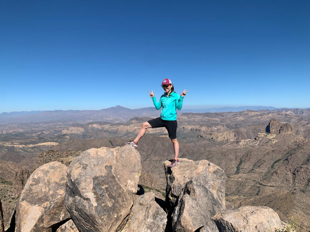
There’s no easy trail to Superstition Peak 5057. You can take Carney Springs Trail for an unrelenting heart-pounding climb or Hieroglyphic Trail for a steep trail littered with loose rocks, but the rewards of this hike will be well worth the effort. It’s the highest point on the Superstition Ridgeline.
The full report
Superstition Peak 5057 (2 ways)
Three Sisters
7.0 miles
2810 ft elevation gain
Another great hike in the Superstitions, Three Sisters sits at the opposite end of the Superstition Ridgeline as Flatiron and provides an awesome alternative (read: no crowds) with more wilderness views.
The full report
Three Sisters
Oh, did you notice Flatiron isn’t even on this list?
Thompson Peak
9.5 miles
2572 ft elevation gain
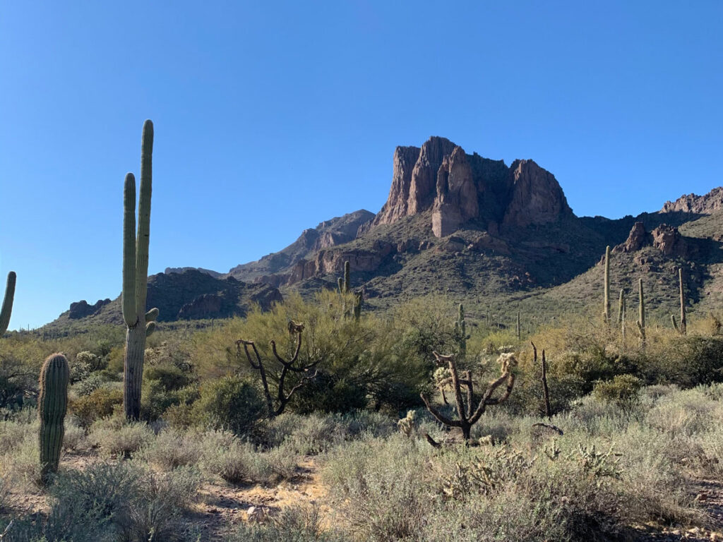
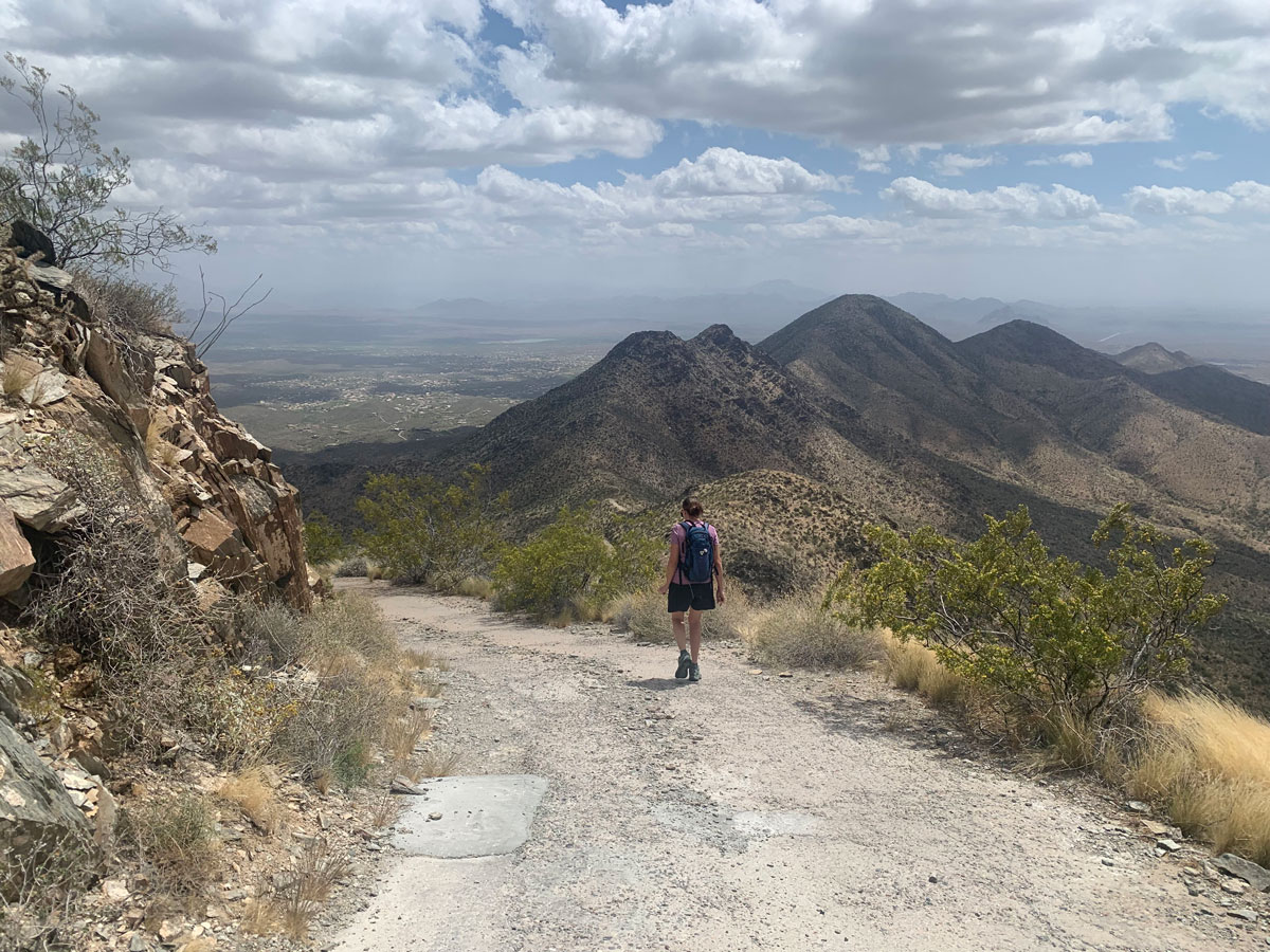
Much of this trail is a casual hike through beautiful desert, but the actual push up to Thompson Peak is one of the steepest on this list. Your legs won’t soon forget Thompson Peak, but your eyes won’t soon forget the views from the top either.
The full report
Thompson Peak
Quartz Peak
5.6 miles
2610 ft elevation gain
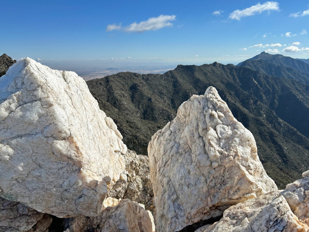
An entire peak made of quartz? It’s true! And it’s more amazing than can be put into words. This hike starts its uphill journey right at the base and doesn’t let up until the summit. Though it may be close to Phoenix, the remote, sandy road to get there and hiking on the other side of the mountain will make you feel a million miles away.
The full report
Quartz Peak
Pass Mountain Ridgeline
7.7 miles
2155 ft elevation gain
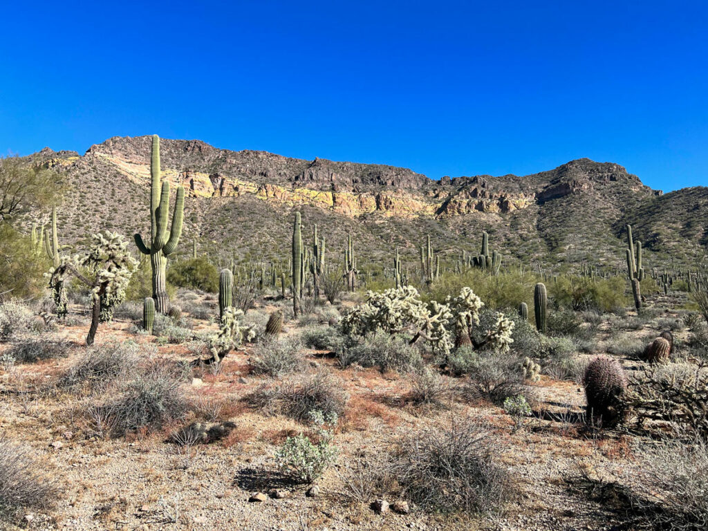
This rugged ridgeline is a feast for the eyes as you visit two summits along the route. On the way down, you’ll visit another valley favorite, Wind Cave.
The full report
Pass Mountain Ridgeline
All Day Pushes
Oh, you’re still reading? You must be a hardcore hiker! These hikes will challenge you both mentally and physically as you push yourself to the max. Enjoy!
Superstition Ridgeline
10.6 miles
4860 ft elevation gain
This is it. The number one hardest hike in the Phoenix area. You’ll draw on all your inner strength to hike this rollercoaster of a hike that will take you to the highest highs, bring you back down, and then make you go up some more. You ready? Game on!
The full report
Superstition Ridgeline
Malapais Mountain
9.4 miles
4005 ft elevation gain
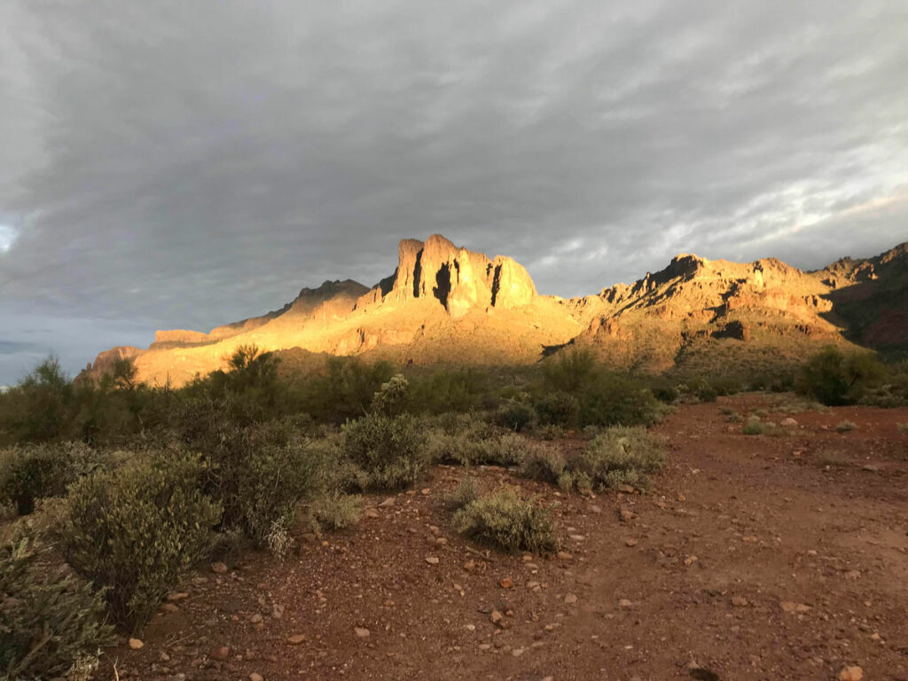
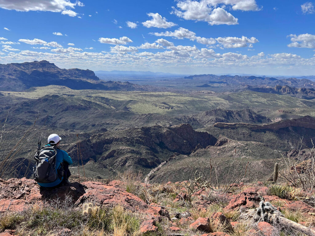
Okay, I lied. Malapais might actually be the hardest hike in the valley, but that’s only because your mental stamina will be severely tested by the bushwhacking and lack of a trail. Even some ridgeliners will be sent home crying, but the views. OH THE VIEWS! The most incredible view of the Superstition Wilderness spreads out before you at the summit.
The full report
Malapais Mountain
Battleship Mountain
11.6 miles
2214 ft elevation gain
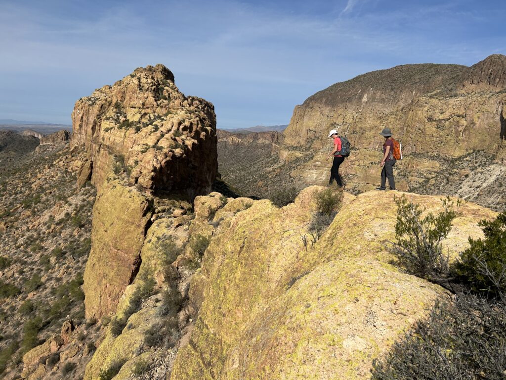
Battleship Mountain is epic. Those with a fear of heights will want to stay home for this hike that traverses a skinny volcanic ridge in the heart of the Superstition Wilderness. Oh baby, those cliffs and drop-offs! It’s enough to set your head spinning.
The full report
Battleship Mountain
McDowell Mountains Traverse
14.5 miles
2967 ft elevation gain
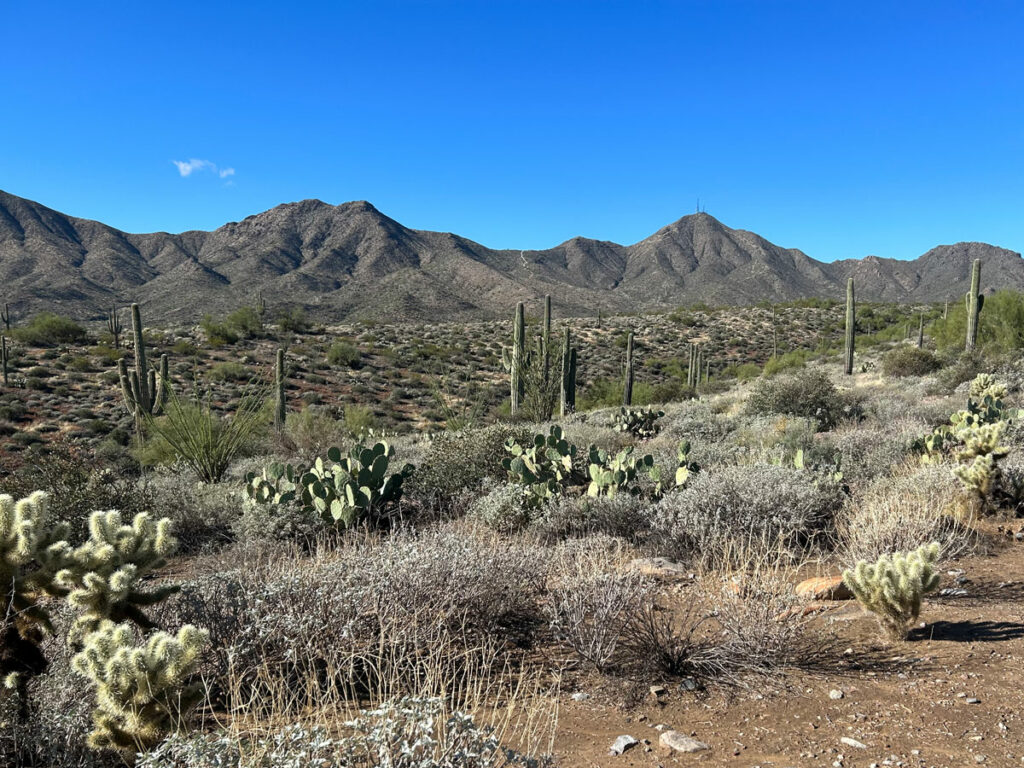
This hike makes the almost 15 mile journey from end to end of the McDowell Mountain range. You’ll spend much of the hike cruising along gently rolling desert terrain, but it’s those steep spurts in between that give this one its rating.
The full report
McDowell Mountains Traverse
Skull Mesa
12.1 miles
3172 ft elevation gain
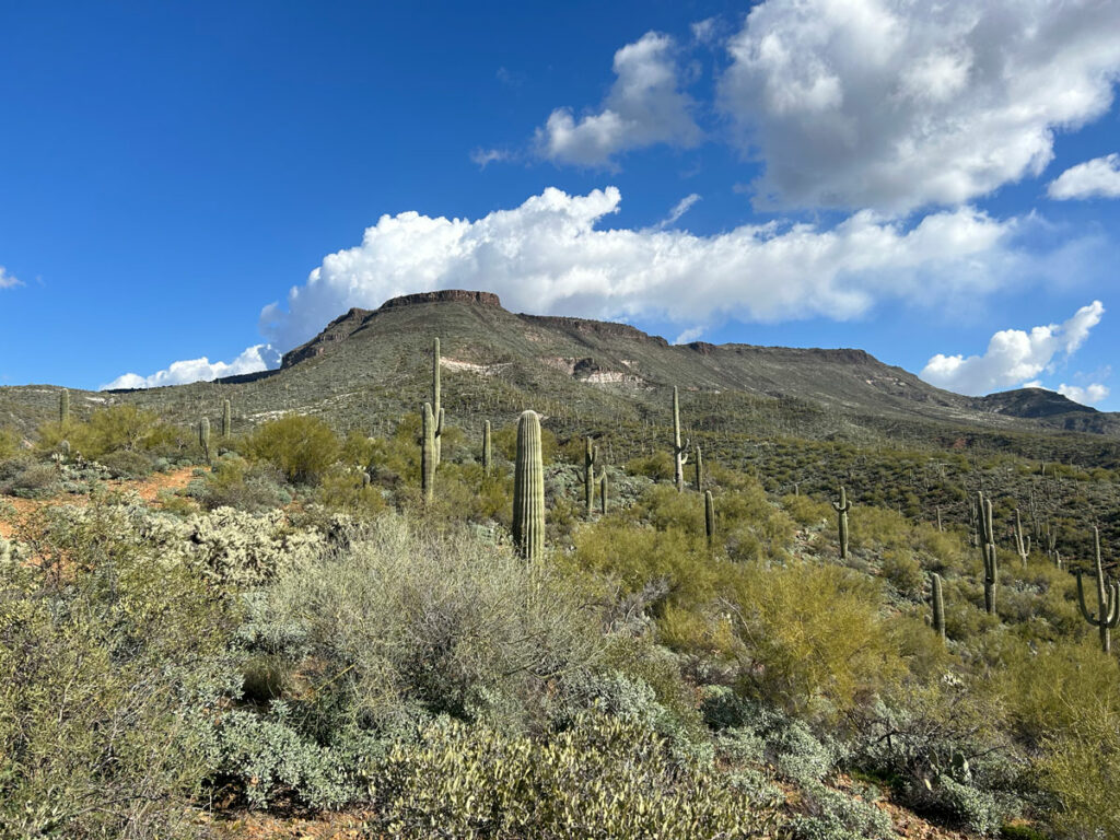
This hike meanders along a creek before ascending steeply up to Skull Mesa. The observant can spot at least two crested saguaros along the way!
The full report
Skull Mesa

Leave a Reply